View all the photos from this hike
Adam Says… We were so pleased to find this hidden gem of a hike in Virginia! This hike has some jaw-dropping views, an interesting “cave” to explore, and great camping with not a lot of elevation difference.
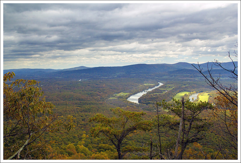
The parking area has space for about four cars to park. From the parking area, head down about 10 yards further down the road and you will see two trails on the opposite side of the road from where you park on the right. Both of these spur trails connect to each other, so it doesn’t matter which one you pick. Climb up the short spur and the trail goes off to the left. The trail starts off hiking on a ridgeline. From .2 miles to .4 miles, you will notice a few short spur trails to the left. Climbing up these short spur trails leads to some amazing views that shouldn’t be missed. We always enjoy views without many signs of civilization and you get that here as you can soak up views of Big and Little House Mountains. I imagine that a lot of people could come to this trail to get such an amazing view with so little effort – great place for a sunrise view! We soaked in the view for a short time but decided we would get better pictures when we weren’t looking into the sun, so we picked a favorite overlook to return to at the end of the hike to reward ourselves.

Once the section of views is done, the trail moves into a more wooded area. At .5 miles, you see the only trail sign for the hike at a trail intersection with a small fire road (maybe used by bikes or hunters?) through the woods. Continue on the main trail. Pay attention to red blazes marking private property.
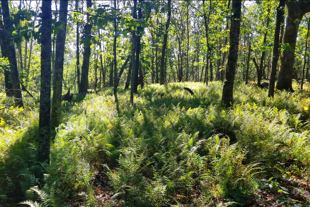
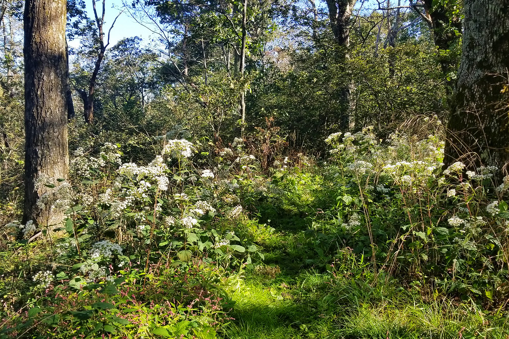
The trail from this point is mostly a flat walk through the woods with only some occasional rises or falls in elevation. The trail is not as well-blazed as many others, so we found it a bit difficult at times to make sure you were still on the trail. If you do this during the fall, this could be especially tricky if leaves have covered a lot of the trail. However, you are mostly walking on a ridgeline, so you likely won’t stray too far. There are a few stretches where we found the trail could use some maintenance since there were taller areas of knee-high brush that you were walking through. You do also get a few glimpses of obstructed views to the east.
At 3.2 miles, you come to a great couple of campsites that have some open views to the east. While there isn’t a nearby water source, this would be a great campsite if you lug your own water in for an overnight trip.
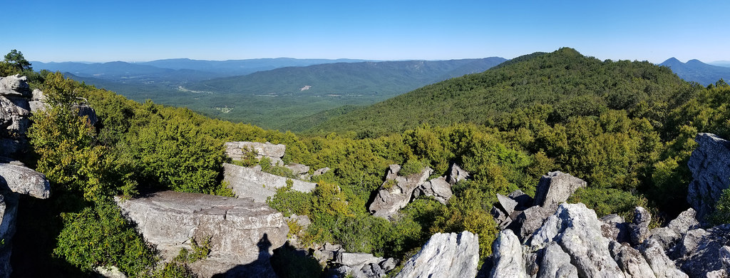
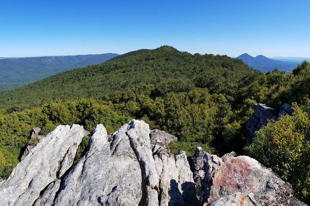
Continue on the trail past the campsite and at 3.4 miles you come to some stone steps that lead to the area known as Pete’s Cave. The rocks in this area remind me of rows of shark teeth that probably need to go to a dentist. This is an interesting area to explore, but please know your limits! This is a dangerous area with cracks and holes you could fall into or get an ankle stuck or hurt. We crawled through one area that had a cave-like feel to it, but there was a skylight that let some light in so you didn’t feel too claustrophobic. At the top of this “cave”, there was one area where I was able to scramble up to the top of a large boulder and got some incredible views to the west, but getting back down was a bit more sketchy. Again, be careful in this area if you choose to explore.

The trail climbs steeply up the other side which also leads to some nice views to the west. Go back the way you came to get back to your car and make sure to reward yourself with more of those views close to the finish line.
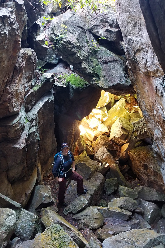
Christine Says… I really enjoyed this hike. The views were outstanding, there were very few people on the trail, and the “cave” at the end was fun to explore. There are several paths to the rocky outcroppings above the cave. Don’t miss checking those views out – they’re as nice as the views earlier in the hike. The trail continues beyond the caves, but apparently it’s just a walk in the woods – nothing noteworthy to see. It eventually descends back into the valley.
Trail Notes
- Distance – 6.8 miles
- Elevation Change – 1000 ft.
- Difficulty – 2. There are rolling hills all along this hike, but generally it is easy terrain.
- Trail Conditions – 3. The trail was overgrown in some parts, but overall easy to follow and walk.
- Views – 4.5. Spectacular panoramic views of Big House and Little House Mountains to the east and just past Pete’s Cave, there are views to the west.
- Streams/Waterfalls – 0. Non-existent and no water sources.
- Wildlife –3. We saw some deer and a few birds from the overlook.
- Ease to Navigate – 3. We didn’t have a lot of difficulty, but needed to mark it down some due to the lack of blazing and some of the trail was overgrown which made it a bit more difficult.
- Solitude – 4. We did this trail early and didn’t see many people, but I would expect it would be busier on most weekends. The viewpoints generally have a few places to spread out and soak in the scenery.
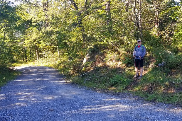
The trailhead is mostly unmarked. 
Views early in the hike. 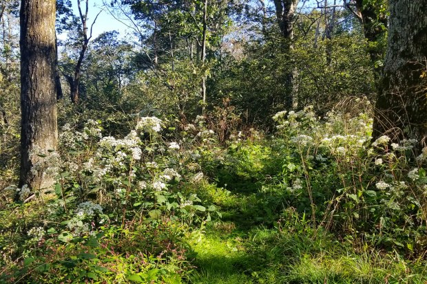
Some overgrown areas. 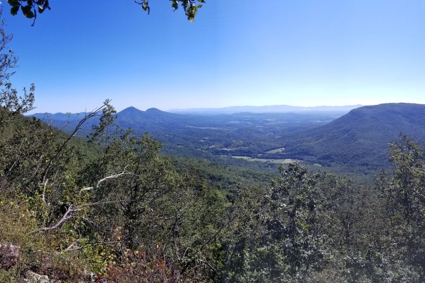
A hazy view at Big and Little House Mountains 
Views from atop the Caves


Maps
Directions to trailhead: The parking lot is a small turnoff on VA 770. GPS coordinates: 37.81906, -79.63468