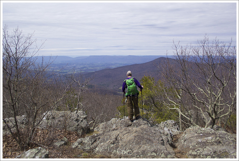
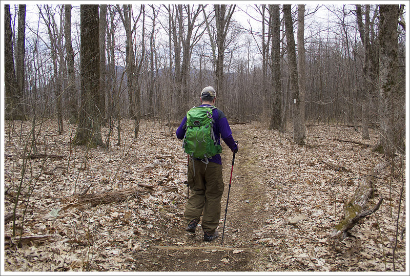
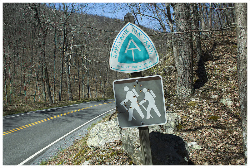
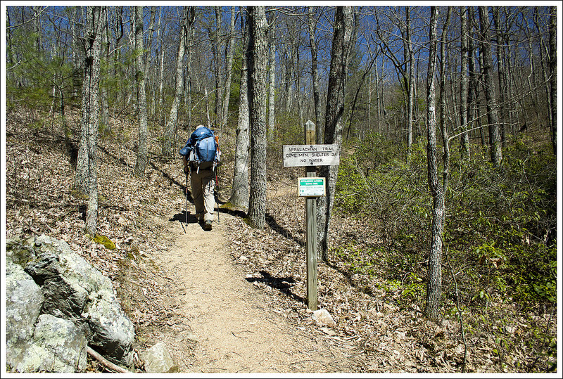
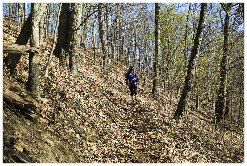
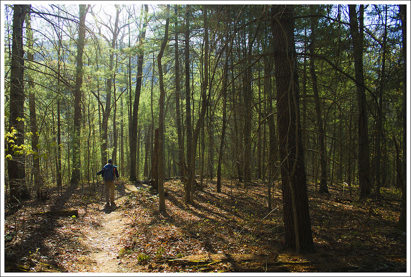
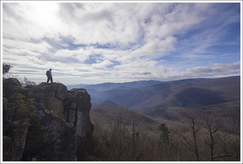
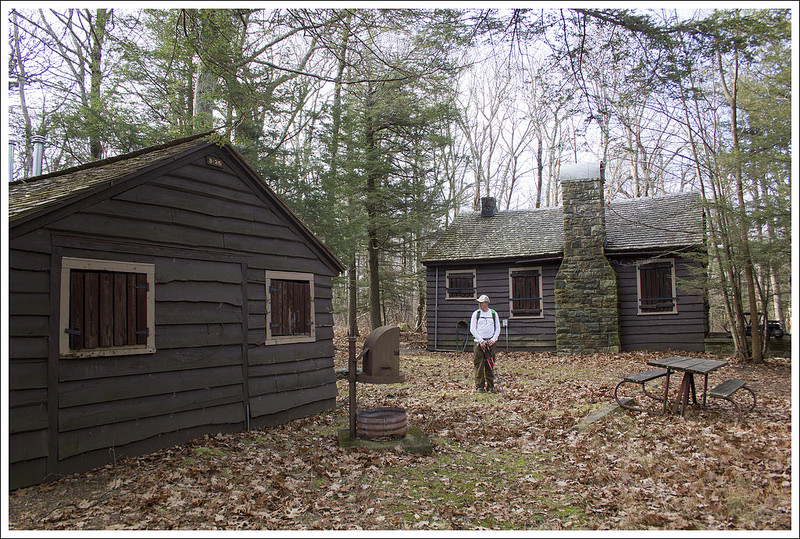
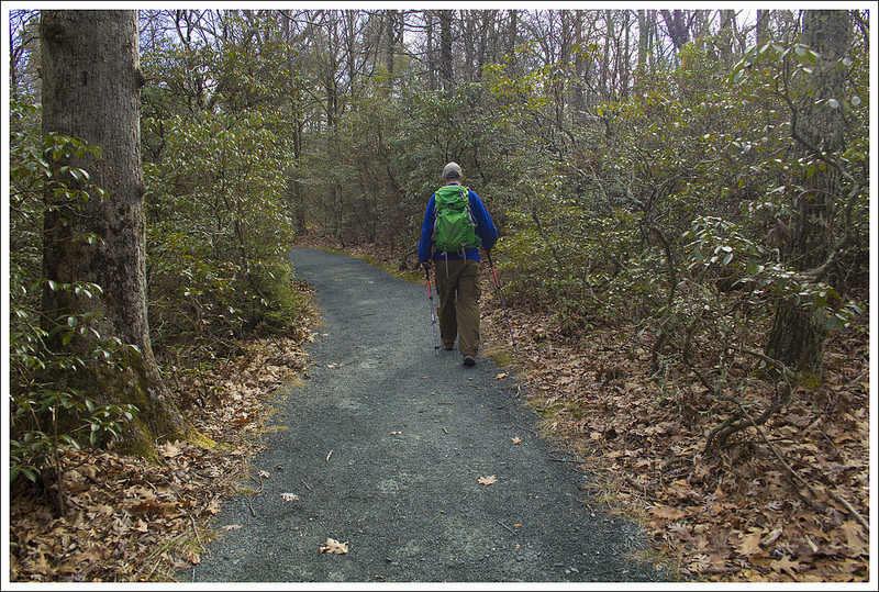
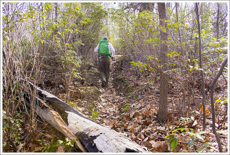
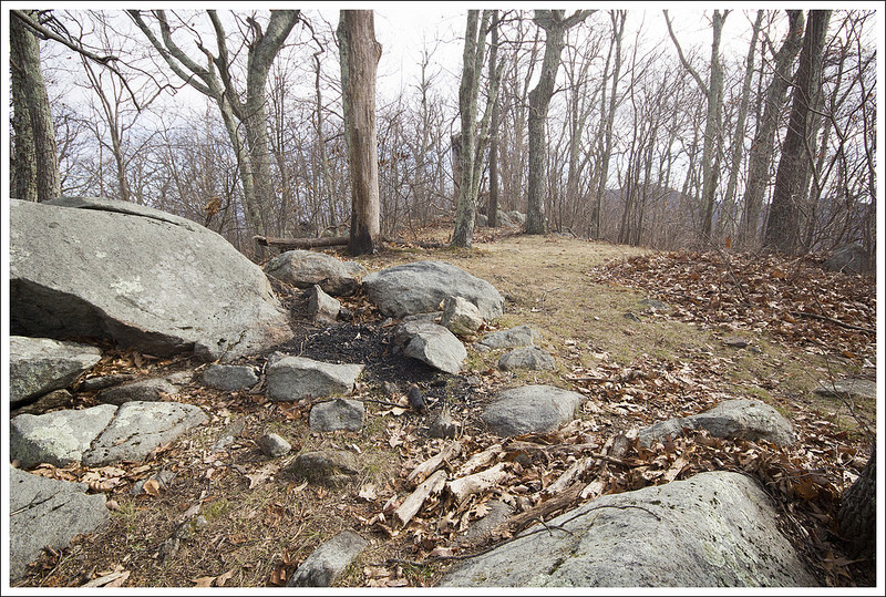
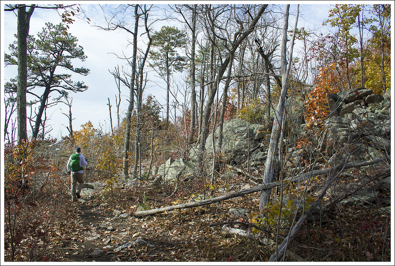
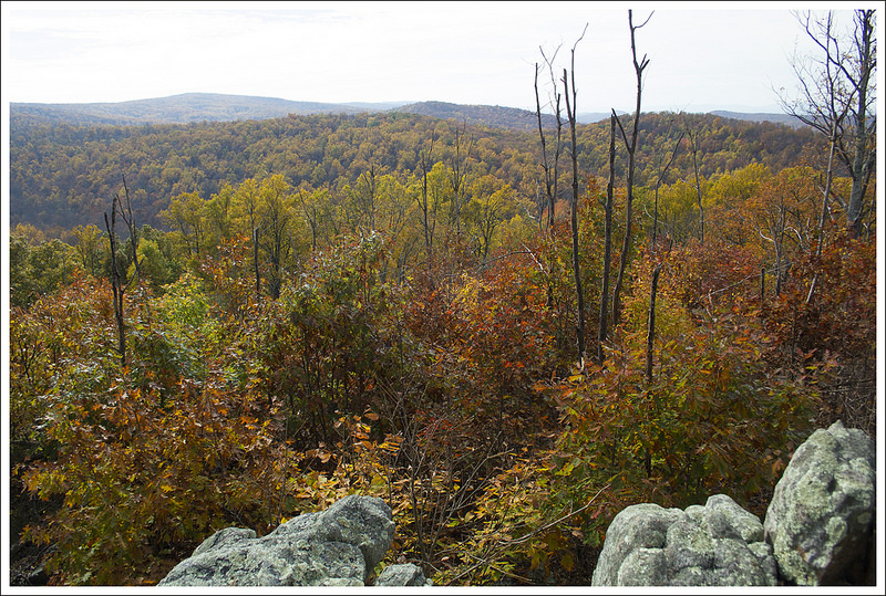
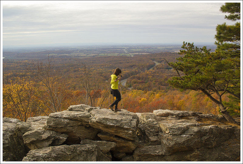
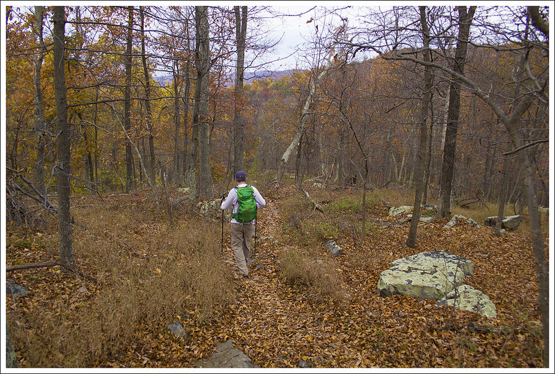
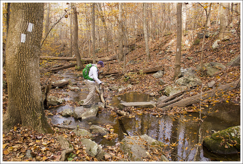
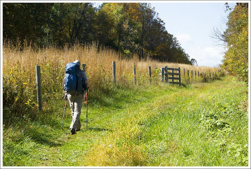
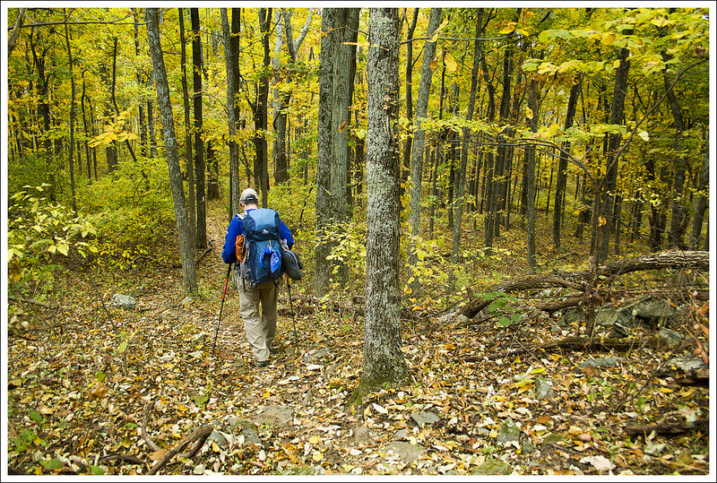
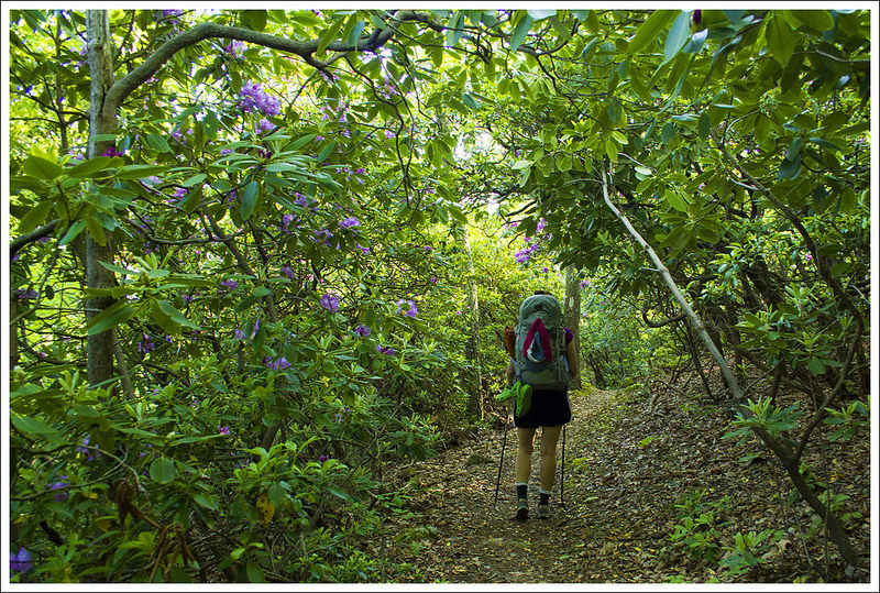
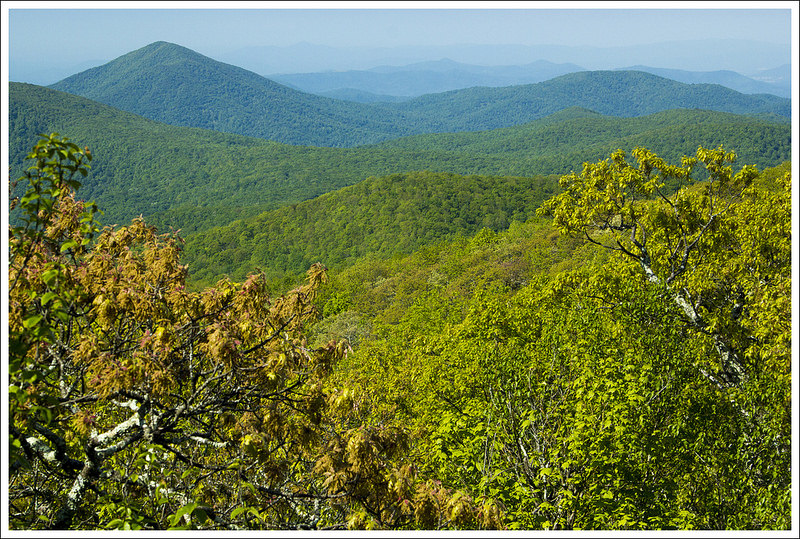
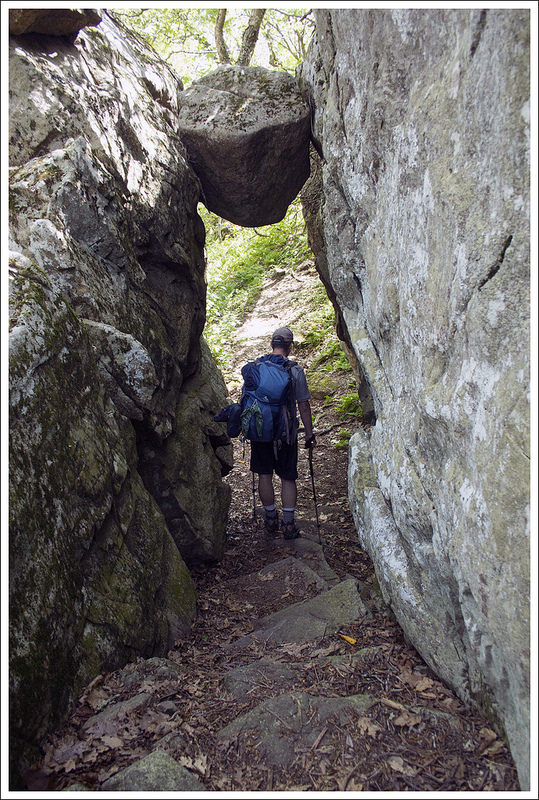
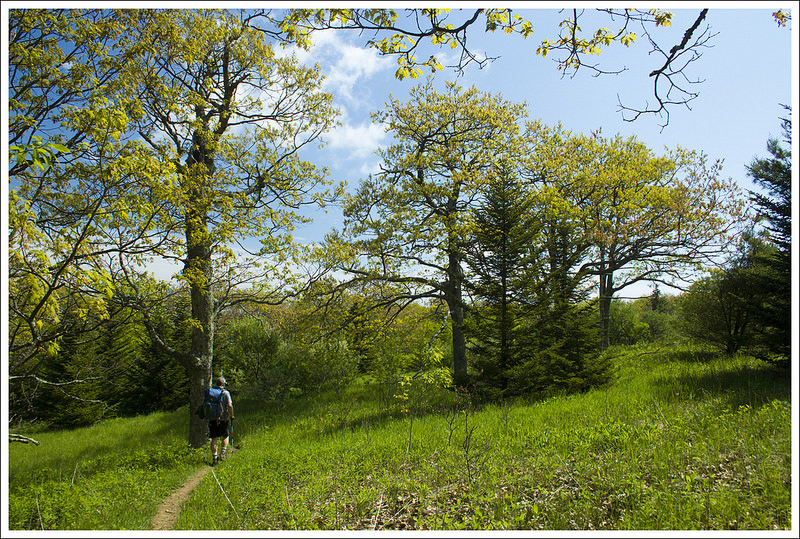
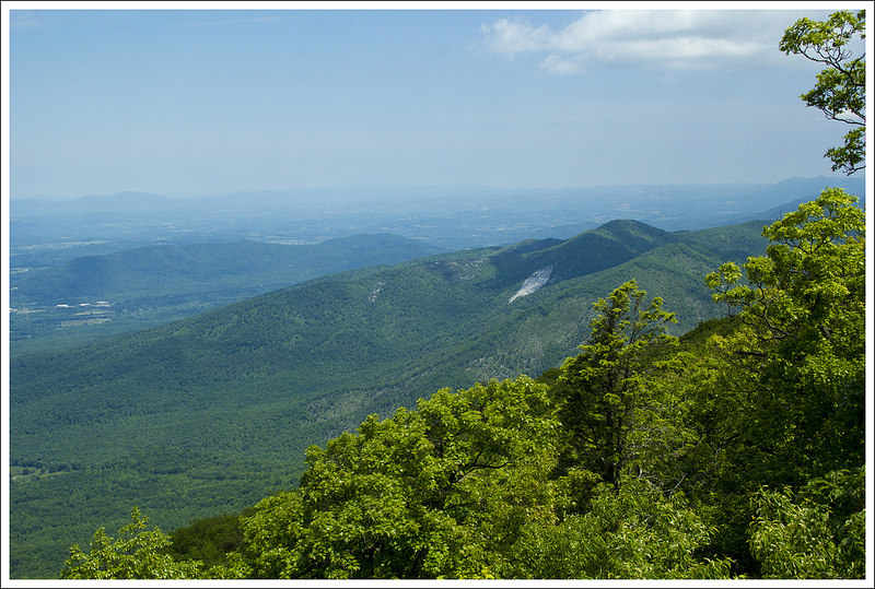
This 8.3 mile hike follows the Pass Mountain Trail from the route 211 trailhead up to the Pass Mountain Hut. From there, you’ll follow the Appalachian Trail north to the beautiful viewpoint at Double Bear Rocks.
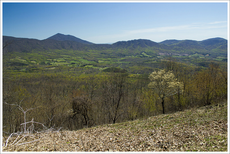
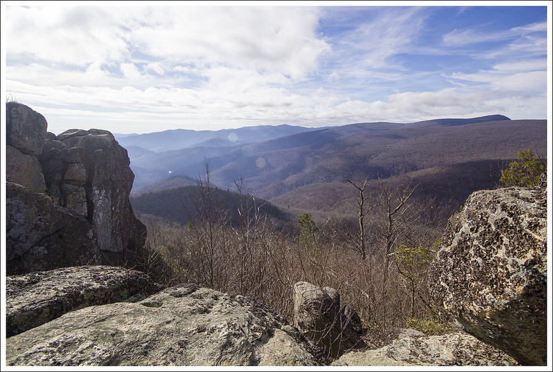
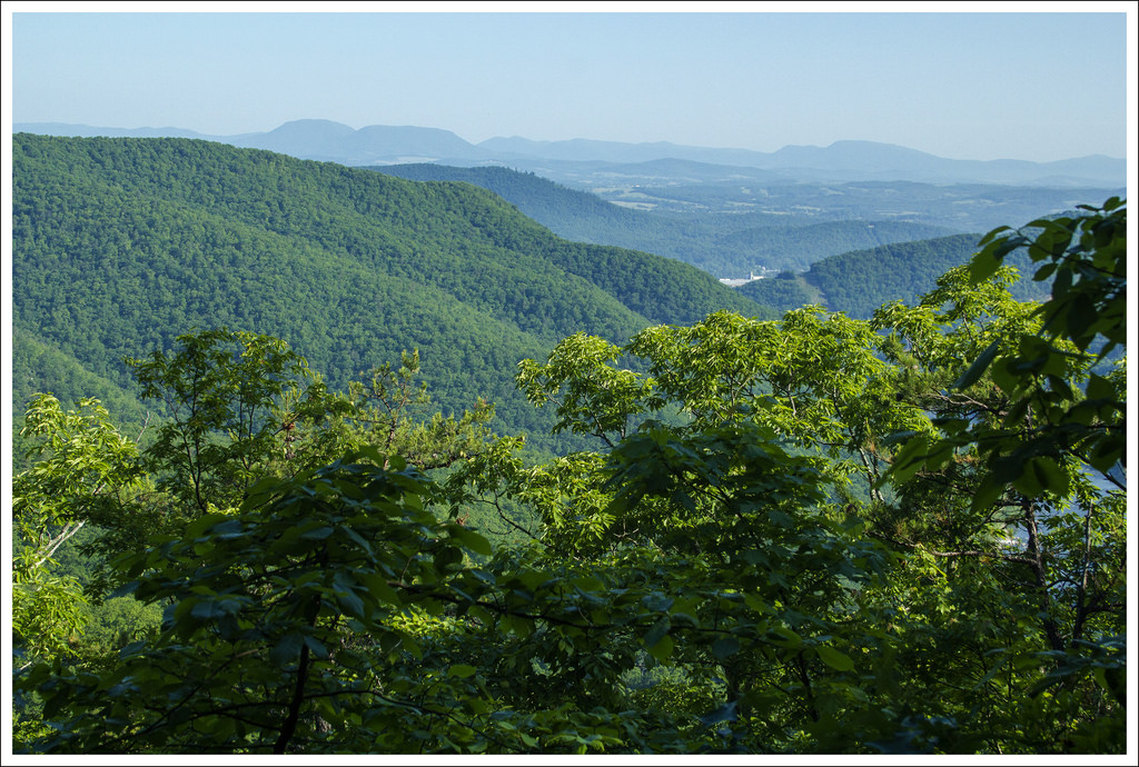
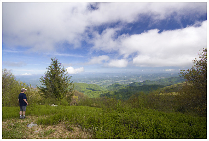
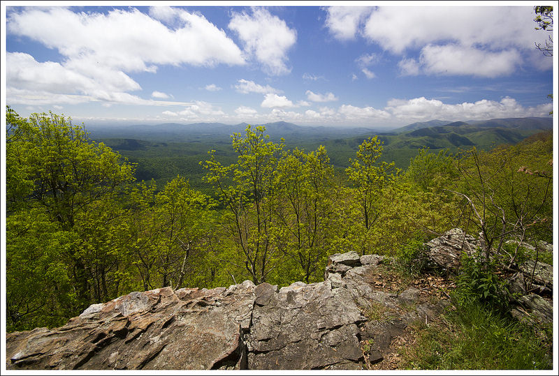
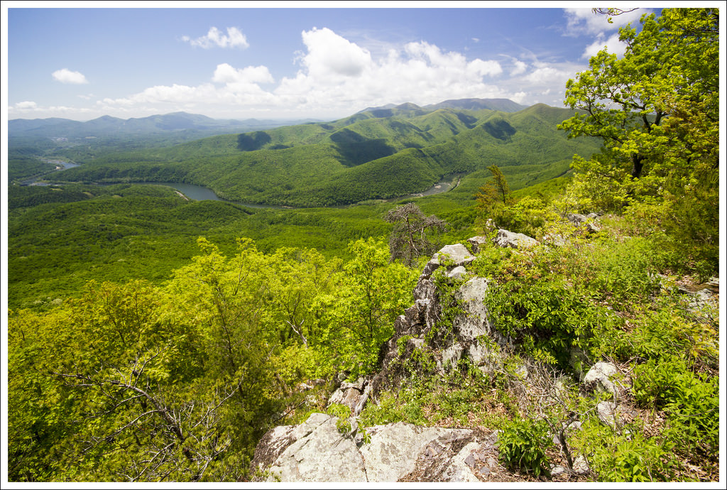
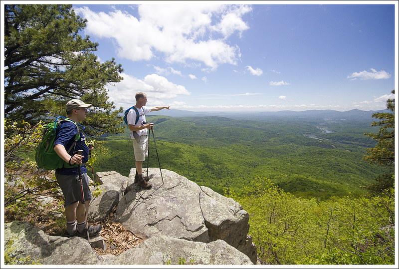
The view from Double Bear Rocks looks in the direction of Strickler Knob, Kennedy Peak, and Duncan Knob.
Christine Says…
The first weekend in April, we met up with Tony & Linda (of Hiking Upward fame) for a day of exploring a new trail and a new brewery. When we were discussing route options, Tony tossed out the idea of climbing the Pass Mountain trail for a visit to the same-named Appalachian Trail shelter. The route was about five miles with 1,300 feet of climbing – perfectly moderate for my recovering ankle injury.
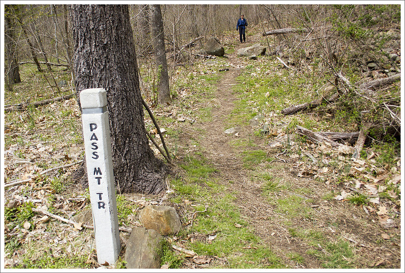
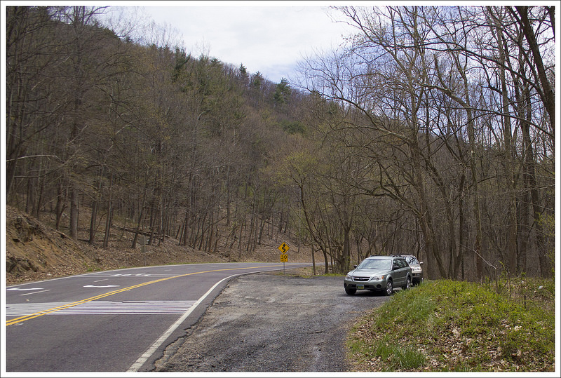
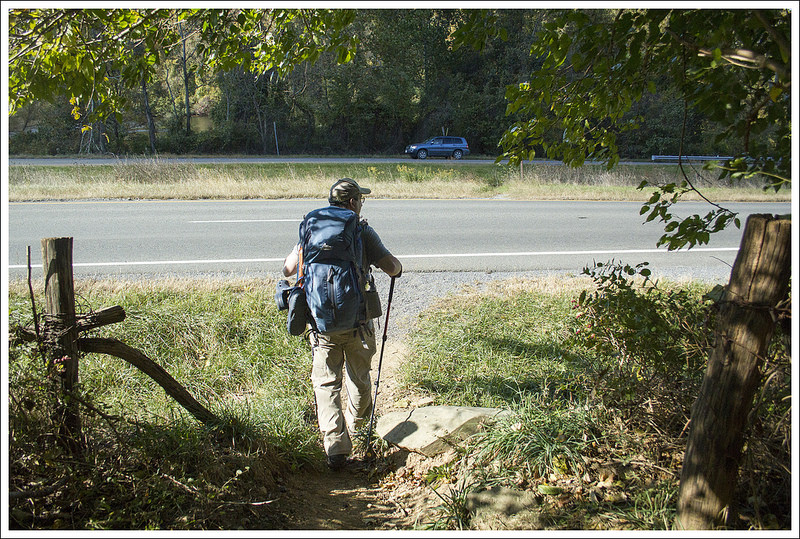
We initially planned to hike on Saturday, but sleet, rain, and high winds compelled us to postpone for Sunday’s more pleasant forecast. We met at the trailhead along Route 211, just a little bit west of Sperryville. The trail begins at the cement marker post across the road. 211 can be very busy and its twists and turns are often traveled at speed, so be extremely careful crossing the road from your car to the Pass Mountain trail.
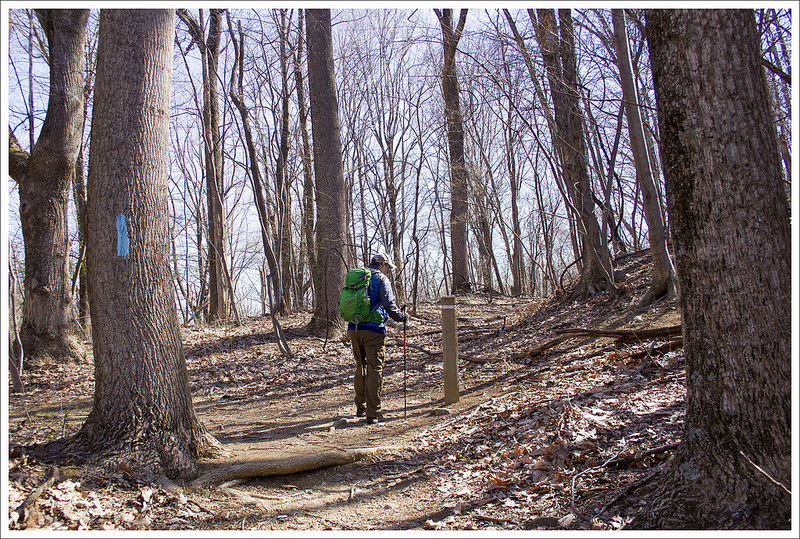
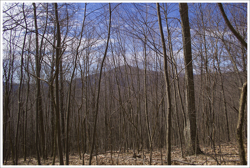
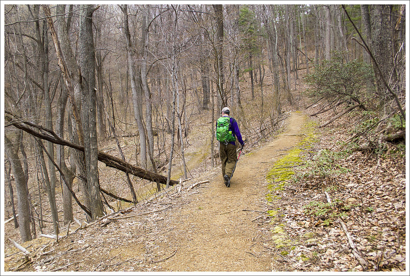
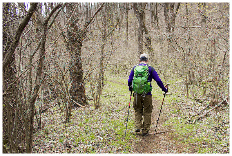
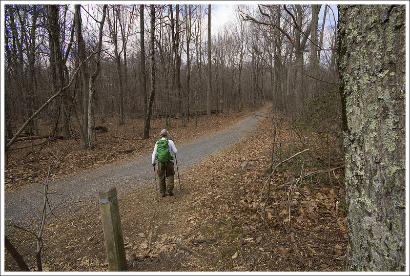
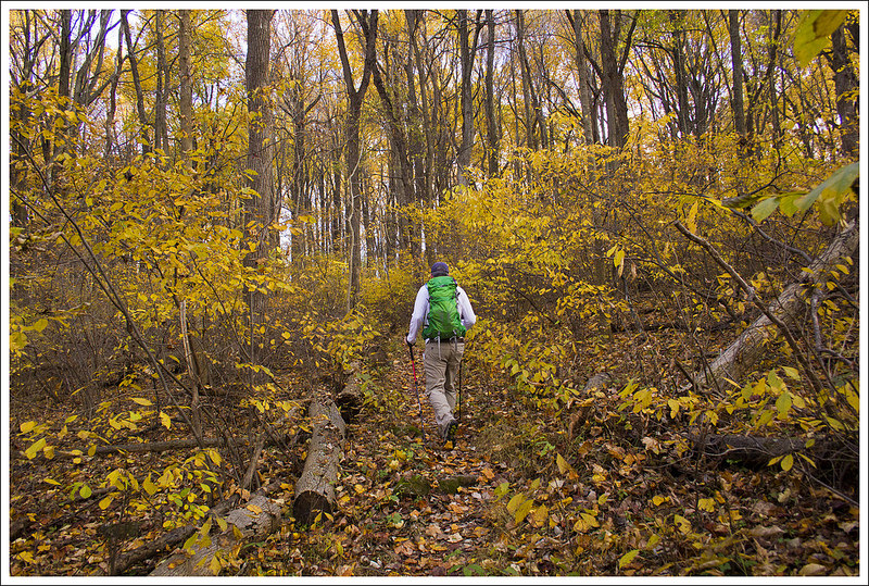
The Pass Mountain trail was beautifully maintained – blowdowns were cleared, branches were trimmed back, and it looked like someone had put a lot of time installing new water bars. The hike began with a meandering series of switchbacks that climbed steadily but gently uphill. At about the one mile mark, we reached another cement marker. At the marker, you’ll notice a defunct, unlabeled fire road; stay to the left and follow the blue-blazed Pass Mountain trail uphill. The trail continues uphill for almost a mile before leveling out on the ridge. If you happen to hike this trail in winter or early spring, you’ll get great views of Marys Rock through the trees.
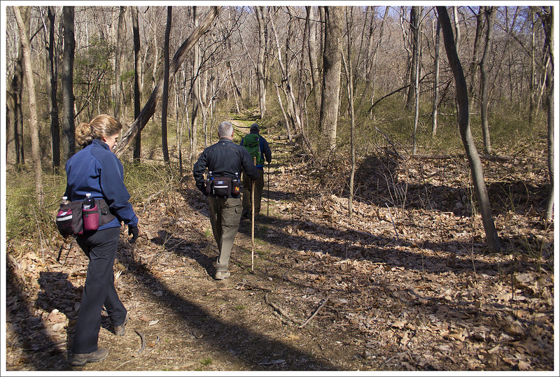
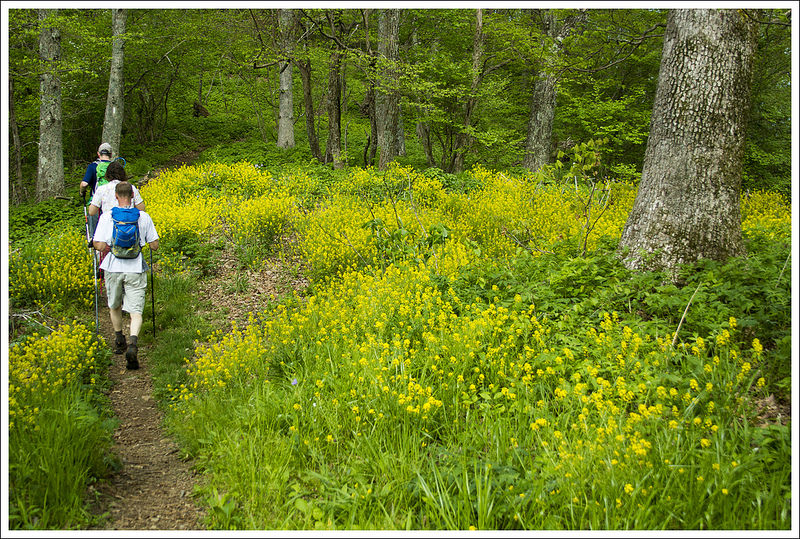
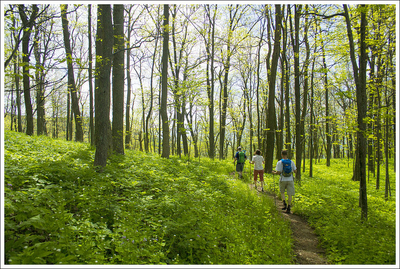
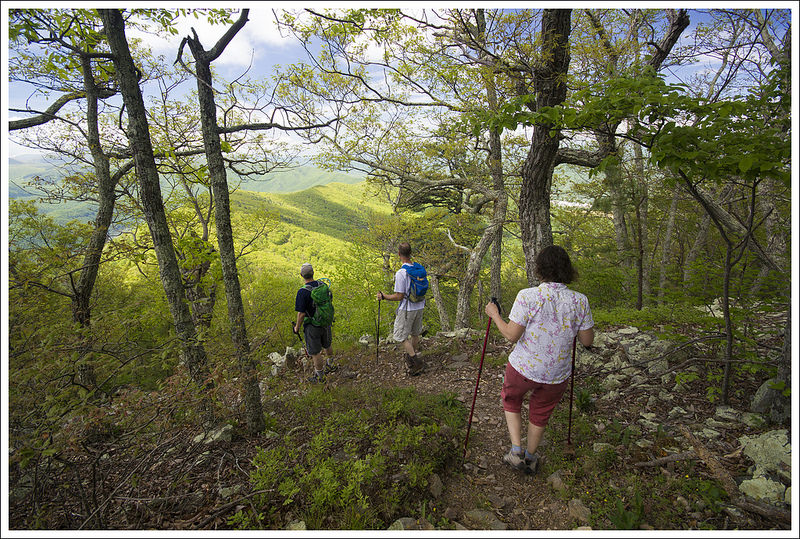
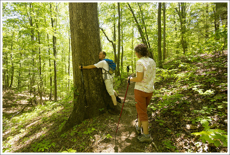
Our hike started from a trailhead on route 211 near Sperryville. Below: A trailmarker in the middle of the woods. It appears there used to be another trail or fireroad at the marker that is no longer maintained; Our hiking entourage; A view of Marys Rock through the trees.
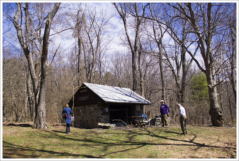
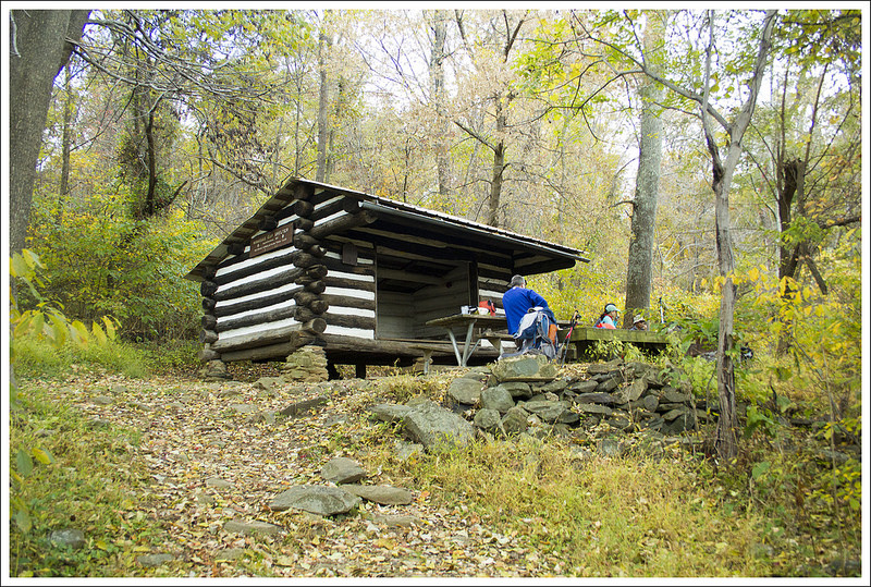
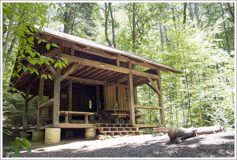
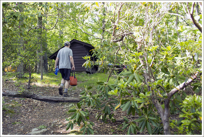
At 2.8 miles, the trail ends at Pass Mountain Hut – one of the park’s nine Appalachian Trail shelters. The shelter is a typical structure with a nearby spring and privy. The unusual thing about Pass Mountain Hut that sets it apart from other AT shelters in the park is that it has a fairly new bear locker instead of a bear pole. A couple years ago, the Pass Mountain Hut was closed due to aggressive bear activity. In late summer, a young, extremely thin black bear destroyed the tent of an ATC Ridgerunner. She was out on patrol and came back to a flattened, saliva-covered tent. Park authorities closed the shelter area until the bear could be trapped and relocated to a less populated part of the park.
We spent a few minutes at the shelter debating the rest of our hike. I mentioned to Tony and Linda that I remembered a nice vista just north of the Pass Mountain summit. My ankle felt OK and even though I wasn’t sure exactly how far it was to the viewpoint, I thought I would be OK pressing on. We all agreed that a view always makes extra miles worthwhile. We followed the blue-blazed spur trail from the hut to its junction with the Appalachian Trail.
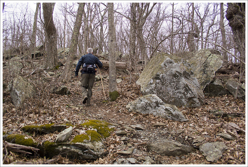
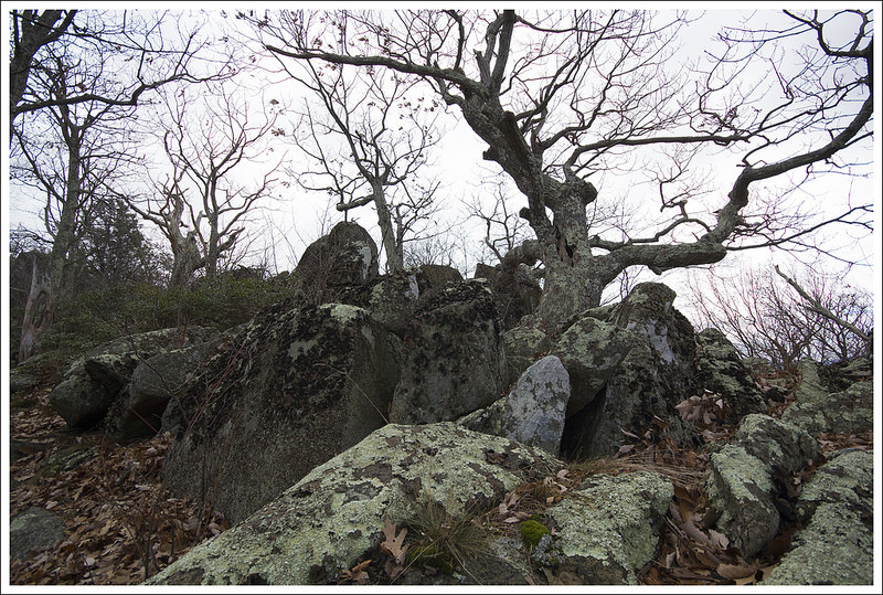
We headed north on the AT for about a mile, reaching the rocky but viewless summit of Pass Mountain. This summit does not have a cement marker. You’ll know you crossed the summit only because you start descending again. When we crossed the summit, we were still vaguely guessing about how much further we needed to hike to reach the view. We explored off-trail a little on rocky outcroppings, but they all turned out to be closed in by trees. Adam jogged ahead to scout for the view. Tony, Linda, and I were all several hundred yards back when we heard Adam shouting ‘BEAR, BEAR, BEAR(S)’. We all raced ahead, too – because who wants to miss a bear sighting?
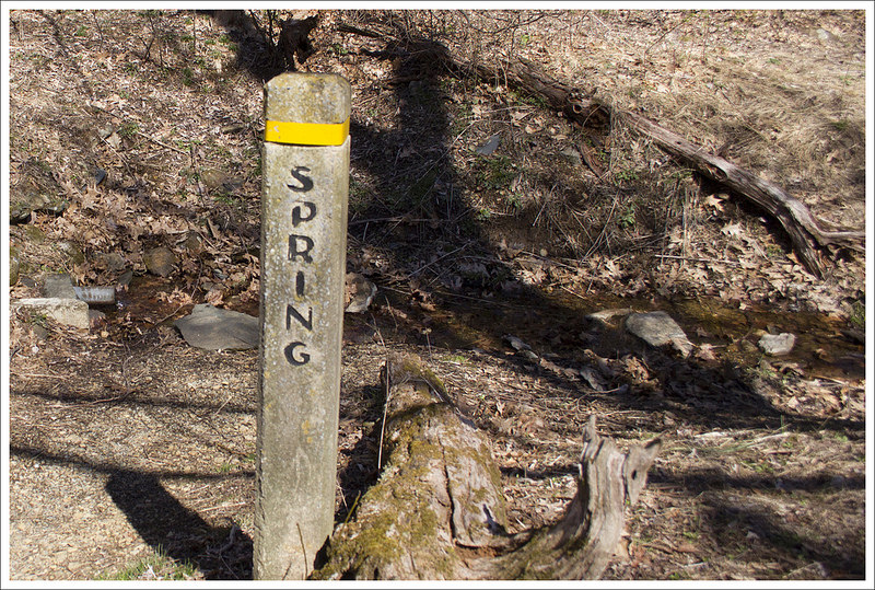
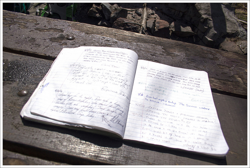
Shortly before reaching the junction with the Applachian Trail, we passed the Pass Mountain Hut. Below: The hut’s water source; Shelter log; Adam hiking the AT.
We got there just in time to see two big, furry rear ends disappearing into the brush. Adam, however, got a great close-up view of the bears. Lucky! Just a couple tenths of a mile past the bears, we spotted the side path to the view – Double Bear Rocks, named for the high population of bears in this area. The view itself is quite nice, but what I remember most about this rocky outcropping is its seasonal abundance in blueberries! Last time we hiked by this spot, it was July and there were berries everywhere! In the short time we sat and enjoyed the view, clouds moved in, so we decided to be on our way.
The hike back simply retraced our steps coming up. Since it was mostly downhill, it went by really quickly. Before we knew it, we were back at our cars for a total hike of 8.3 miles with 1,750 feet of climbing. We were all quite ready to make our way into Sperryville for some post-hike refreshments. We decided to pick up a to-go order from the Creekside Deli. It’s a humble-looking building painted bright yellow, but there is nothing humble about their baked goods. They make top-notch sandwiches on homemade bread, cookies, brownies, and other pastries. We took our food over to Pen Druid brewery to enjoy a couple beers with lunch. The brewery doesn’t have a kitchen, so they follow picnic rules. The guys at Pen Druid do small batches of interesting beers – most featuring wild yeast strains. We had great conversation and agreed that we really must get out together more often. Great day with friends!
Adam Says…
We always enjoy hiking with Tony and Linda. When you get people together that have done a lot of hiking, our conversations always quickly go through talking about different trail systems. We can all talk through different routes as if we were following a map along in our heads. I’m not sure if it is dull conversation for others, but we enjoy talking about the places we have been or have been hoping to go. Both Hiking Upward and our site were created to share our experiences. We may have different approaches to the content, but we do this because of our love of nature and the ability to share hiking ideas with others. We consider ourselves lucky to live where we live and to be able to have all of these experiences so close by – and we hope you enjoy it as well.
With Christine nursing an ankle injury, we picked a route that she thought would be a decent test with a little elevation but not overly challenging. This route isn’t well-traveled and is accessed from outside of Shenandoah National Park on US-211, in between Luray and Sperryville, VA. We arrived a few minutes before Tony and Linda, so we parked where we felt was the correct spot – a gravel pull-off at the bottom of a steep curve. I consulted a map of the area and felt we were correct, but we didn’t see a signpost to designate the beginning of the trail. I got out of the car and crossed the road near the sharp curve in the road and found the trail marker.
We saw a mama bear and her yearling cub not far from the viewpoint. Below: Tony scales a rocky lump near the summit of Pass Mountain.
The trail starts as the Pass Mountain trail. While we felt this isn’t a heavily-traversed trail, we were surprised at how well this small section has been maintained. The hike on the Pass Mountain Trail is a steady uphill climb, but the conditions of the trail made for easy footing. On the way up, we caught up with what was going on with our lives – from aging parents to worrisome dogs to trail sections to hiker rescues to beer. Around the 2.75 mile mark, we reached the Pass Mountain Shelter. We stopped and ate a snack and checked out the hiking log. Christine’s ankle was feeling decent, so we decided to press further up the trail. At the shelter, there is a junction with the fire road (Pass Mountain Hut Road), but the trail ascends up to the left of the shelter as you are facing it. We continued up the trail until we reached the junction with the Appalachian Trail at 3.0 miles.
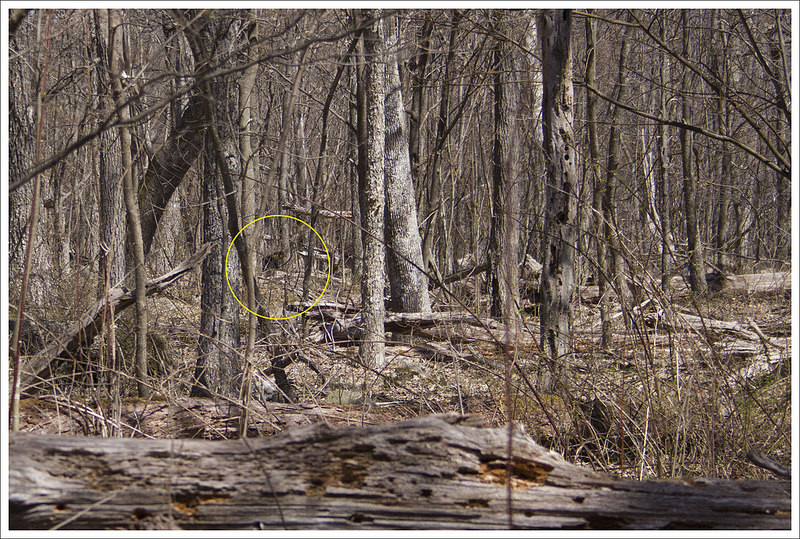
We remembered we found a nice overlook on Pass Mountain that was off the trail and we didn’t think it was too terribly far so we decided to try and find it again together. We took a right, heading north on the white-blazed AT. The trail continued to go slightly uphill, but the grade wasn’t as steep as most of the Pass Mountain Trail. When we carried onward for about a mile, I decided to scout ahead a bit since I didn’t want Christine to put a lot of undue pressure on her ankle. Trekking up ahead at a brisk speed, I came across a mother bear and a yearling bear cub ambling close to the trail. They were both curious about me, so I said a few “Hey, bears” to let them know I wasn’t a threat. They slowly were walking away, paying me little mind so I shouted back at the rest of the group “BEAR, BEAR” to let them know I spotted one. I wondered if the group thought I was shouting for beer instead, but they understood. When they caught up, they were able to see the bears not too far off but they had moved away from their comfy spot.
The trail down is nicely graded with switchbacks. Below: Green plants were just beginning to reappear; Parking area – the road crossing can be very treacherous.
Right around the corner from where we spotted the bear, we saw the jumbled rocks on the left of the trail that we remembered as being the viewpoint. We cut off the trail and out onto the rocks to enjoy a nice view to the west. There are nicer views in the park, but on a clear day you can see ridges of mountains for miles.
After taking in the view for a few minutes, we made our way back to our cars. We continued our trip to Creekside Deli and then Pen Druid Brewery for some delicious food and drink before parting ways. We look forward to our next adventure with them!
Directions to trailhead: The trail is located off of US-211 about 12 miles east of Luray, VA and 2.8 miles east of where US-211 crosses Skyline Drive. The gravel lot is located at 38.66855, -78.28999. Cross the road (be careful as this is a blind curve and cars may not see you easily) and at the bottom of the steep, sharp curve you will see the signpost for the Pass Mountain Trail.
Our first overnight backpacking trip of the season allowed us to watch the green of spring creeping its way up the mountainsides.
Day One…
When you are gifted a sunny 75-degree weekend in April, you must snatch it up and go backpacking! At least, that is my belief on the matter. We had just such a weekend in mid-April this year, so we decided to get out there and work on completing some more Virginia Appalachian Trail miles.
We’ve already completed all the miles between Jennings Creek, VA and Harpers Ferry, WV, so we decided to pick up the next section south – Black Horse Gap northbound to Jennings Creek. It was a relatively short route for an overnighter – twelve miles the first day and just three miles the second day. We always try to do about 20 miles on a one-night trip, but access to road crossings for our shuttle drop-off made fifteen miles the best logistical option for this trip.
We looked up shuttle options in our AWOL Guide, and ended up hiring Homer Witcher to give us a ride to our start point. Homer is a great trail ambassador – he’s in his 70s and still finds the time and energy to run on the AT most days. He, his wife, and children are all avid, lifelong hikers – completing multiple section and thru hikes. He told us he and his wife are planning another thru in 2017. We greatly enjoyed talking to him on the ride over to Black Horse Gap.
The signage for the AT along the Blue Ridge Parkway is nice. Below: Our start point at Black Horse Gap; Adam hikes through a rhododendron thicket; We had nice views through the trees for most of this hike.
About a half hour later, we found ourselves standing along the Blue Ridge Parkway at Black Horse Gap. We found the trail easily and started our northbound walk. Over the first few miles of hiking, the AT crosses the Blue Ridge Parkway a couple times – at Taylors Mountain and Harveys Knob. Both crossings offer panoramic vistas of the valley below. Most of the views in this section include a nice look at Sharp Top, one of the areas most popular mountains for day hiking. The terrain along this stretch of trail could best be described as rolling – there were lots of ups and downs, none dramatic. We passed a large group of Boy Scouts hiking along the trail. They turned out to be pretty much the only people we saw on our hike.
By 12:30, we reached our lunch stop at Bobblets Gap shelter. We ate and assessed our water supply. We knew we’d have another chance to resupply water at around the 8 mile mark, but read that the water source at Bearwallow Gap was iffy and seasonal. I still had over two liters of water, some in my Camelbak and a full Smartwater bottle. Adam filled his Camelbak to three liters and also had a full Smartwater. Our planned campsite at the Cove Mountain Shelter is dry (no spring, no stream) and the closest water source to camp is three miles away in either direction, so we tried to guess how much water we would need to cook and hike the next day. It’s a delicate balance between carrying too much heavy water and not enough, risking dehydration.
After lunch, we leapfrogged the same group of scouts again. They had decided to skip the shelter since they had moms and lunch waiting for them at a road crossing ahead. The post-lunch hiking was decidedly more uphill than the morning hiking. We gradually climbed, crossing the parkway two more times at Peaks of Otter and Mills Gap. At Mills Gap, we were able to get rid of our lunch trash at a roadside trashcan – being able to get rid of garbage is a real treat for any backpacker! We took a rest at Mills Gap, reclining on a picnic table in dappled shade. The temperatures weren’t that hot – maybe high 60’s, but the sun was incredibly strong and relentless through the mostly leafless trees. We both got sunburned despite using sunscreen.
The trail crossed the parkway numerous times – usually near vistas. Below: One of many road crossings with a view; Blooming columbines; A huge retaining wall under the parkway; Bobblets Gap Shelter; Lunch and shelter log; A very dank water source.
After a little more climbing from Mills Gap, we started a nice descent to Bearwallow Gap and the VA43 road crossing. We passed a murky, dank wildlife pond along the way – maybe it’s the bear wallow! At the road crossing, we sat like a pair of hobos under the Blue Ridge Parkway road sign. People driving past looked at us like we were a novelty. There turned out to be plenty of water in the seasonal stream at the crossing, but neither of us had drunk much more water so we decided not to resupply again. That wasn’t the best idea – more about that later!
We crossed VA43 and immediately began the climb up Cove Mountain. Within the first hundred feet there was a sign reminding us about the dry conditions at Cove Mountain Shelter. We still were certain we had plenty of water. As we ascended, I said to Adam “This isn’t bad! The trail looked WAY steeper on the map!” Adam replied, “I hope you’re not jinxing us.” Well, I totally jinxed us. The trail got much steeper and due to past forest fires, we were climbing in direct, unrelenting sunshine at the hottest part of the day. We both went through much more water than we had planned for. I chewed gum to try and preserve what water I had left. We passed a couple small campsites along the ridge of Cove Mountain. We contemplated stopping for the day, but decided to press on to our planned stop.
Cove Mountain (one of several mountains by this name in the Blue Ridge) was the only tough part of the day. Below: Sitting like a hobo at the road crossing; It’s not nice to shoot at hikers; Beginning the climb up Cove Mountain; Campsites along the top of Cove Mountain; Adam gets nice views as we begin the descent to the shelter; Evidence of an old forest fire.
The descent of Cove Mountain was incredibly beautiful. I think the area burned in 2011 or 2012, leaving spectacular open views along the ridgeline. I was thankful for such beautiful, distracting views the last couple miles because my feet were killing me. In addition to not refilling water when we should have, I made the mistake of trying out new gear on a long(ish) hike. For many years, I have hiked in Thorlo thick-cushion hiker socks with a pair of silk sock liners. I don’t get blisters -ever- with that combo. This time, I decided to wear my Darn Tough wool socks. They’re super popular with hikers and were always comfortable for me on day hikes – even long day hikes, but apparently I do need the extra cushioning I get from Thorlos when I’m carrying a heavier pack. Lesson learned – don’t mess with the tried and true, especially when it comes to your feet!
We hobbled into camp around 3:30 – almost 12 miles in about 6 hours included stops for lunch, rest, and photography – not a bad pace for our first trip of the season. We set up camp and spent the remainder of the afternoon reading and napping. Despite being dry, Cove Mountain Shelter is an idyllic spot. The shelter is typical, the privy is new, and there was space for a good number of tents both around and on the ridge above the shelter. Recently, I learned an interesting piece of trivia about the Cove Mountain Shelter from my friend Jeff Monroe (of Wandering Virginia). Apparently, this shelter used to sit at Marble Springs (where we camped on the second night of our Jennings Creek to the James River section). When the area around Marble Springs became designated wilderness, the shelter was moved to its current location on Cove Mountain.
It was neat to see Rt. 43 wrapping around the mountain. Below: The Cove Mountain Shelter; Tents and bear bags.
Before dinner, Adam found a good tree and slung the rope for our bear hang. As we prepared dinner, we rationed out our water, so we’d have enough for breakfast and our second day of hiking. We were both pretty thirsty and wished we had filled up to the maximum at Bearwallow. We even ended up drinking our dishwashing water. Lots of ‘Leave No Trace’ folks always drink their wash water, but it’s also acceptable to broadcast water away from camp. We usually broadcast. But this time, we enjoyed a lovely ‘tea’ flecked with a mélange of buffalo chicken, macaroni and cheese, and crème brulee. Mmmm! Even after conserving water, we really didn’t have much left for both breakfast and tomorrow’s hiking.
As we were finishing dinner, Boy Scouts started rolling into camp – first two, then five more, then another four, then the final three an hour later. We were sure they had come off the trail at VA43. They’d been hiking since 9:30 a.m. – many of them were first time backpackers, a few were first time hikers! The troop was from Roanoke Rapids, NC. They were nice folks, but clearly new to backpacking, as they took the time to remove our bear hang from the tree, thinking it was litter! Adam was not happy about having to get the rope back over the precarious branch, but in the end he agreed it was a little bit funny.
We got to watch sunset from the hillside above the shelter. Below: The sun goes down over the Blue Ridge; Enjoying our view!
After dinner, we hiked up the hill behind the shelter to catch sunset. The view was lovely! As soon as the sun went down, it got cold pretty quickly. The dry, breezy conditions precluded a campfire, so we crawled into our tent a little after 8:00 p.m. I fell asleep but was woken several times during the night to sounds of foxes, whippoorwills, and owls! Despite the interruptions, it was a peaceful night and I was so glad to be out in the woods again!
Day Two…
We knew our next day on the trail was going to be quite easy. We woke up early before the Boy Scouts were even stirring. It was quite chilly, so we were probably moving a little faster in the morning to get the blood flowing. We packed away all of our stuff and enjoyed a breakfast of Little Debbie Peanut Butter Pies and coffee. The plan was to have hot granola with Nido, but we didn’t have enough water left to make both hot cereal and coffee, so coffee and cookies won. We left the shelter area and were on our way in a little over an hour. Just about .2 miles away from the shelter, we came to a nice western morning view from the top of Cove Mountain. The trail continued to ascend, but it was hardly noticeable. From camp, the trail ascends about 200 feet in .8 miles. At this point, the trail descends the rest of the way. We were impressed with the views through the trees along the way.
A couple tenths of a mile past camp, we got a nice view from Cove Mountain. Below: Tents in the morning sun; Adam hikes along the Appalachian Trail; Christine descends toward Jennings Creek.
The trail on the descent was easy walking for the most part. The trail had just a few longer switchbacks on it, but it was a nice, peaceful walk in the woods. It was just a short amount of time before we could hear the sound of water from Jennings Creek and around 3.2 miles we were back at Jennings Creek Road. We took a right and crossed over the creek for some picturesque creek scenes before getting to our car on the left side of the road.
Adam makes his way downhill through the evergreens. Below: Pretty Jennings Creek; The parking area at the AT crossing; We saw zebras on the way home.
We had previously planned to get to Sonic in Waynesboro for a celebratory lunch and a stop at Rockfish Gap Outfitter’s Anniversary Sale (where I got a new Osprey Atmos pack), but arriving at the car around 9 a.m., we knew we had some time to kill. We decided to stop on our way at the Virginia Safari Park near Lexington. If you are a fan of animals, this is a must-see place to visit. We drove through the loop (we could even see rhinos through the window) with a bucket of feed while zebras, emus, alpacas, elk, and yaks tried to rip it from our hands. After driving through the loop, we also walked through their other exhibits, where we could see giraffes at eye level, walk among kangaroos, and see other animals through cages – tigers, hyenas, and monkeys. I believe this was our third time visiting and there are always new additions every time we visit.
This section of the Appalachian Trail has some wonderful scenery on it. If you are looking for a shorter, overnight trip with lots of views along the way, this hike won’t disappoint – just plan for water.
Trail Notes
Distance – 14.6 miles Check out the stats from Map My Hike [Day 1] [Day 2]*
Elevation Change – 1650 ft.
Difficulty – 3. This was a pretty easy backpacking route. It was perfect for our first outing of the season and gentle injury recovery.
Trail Conditions – 4. The trail was in typical Appalachian Trail shape for this part of Virginia – well maintained and nicely graded.
Views – 5. There are many fantastic viewpoints along this route. Most of them come from overlooks along the Blue Ridge Parkway – which you’ll cross multiple times on this route.
Streams/Waterfalls – 0. This is a quite dry stretch of trail. There is a small, low-flow spring at Bobblets Gap and a seasonal stream at Bearwallow Gap. There is NO WATER SOURCE at the Cove Mountain Shelter, so plan ahead.
Wildlife – 3. We saw several deer and had a barred owl and a whippoorwill in camp.
Ease to Navigate – 4. The trail is well marked and easy to follow. There are road crossings and several other trail junctions, but the white blazes are easy to follow in most places.
Solitude – 3. We actually saw very few people on this hike considering the beautiful weather and its proximity to the parkway.
* MapMyHike is not necessarily accurate, as the GPS signal fades in and out – but it still provides some fun and interesting information.
Directions to trailhead: To drop off first car: Take exit 168 off of I-81 toward Arcadia, VA. Turn on to State Route 614/Arcadia Road off the exit. Arcadia Road becomes Jennings Creek Road. After 4.5 miles, you will see a large gravel parking lot after crossing Jennings Creek and you will see a sign for where the Appalachian Trail crosses. Park in this lot. Coordinates 37.529352, -79.622693 To drop off second car and start your hike: Continue down Jennings Creek Road from where you parked (not arriving the way you came). In 1.8 miles, turn right on to State Route 618/McFalls Creek Road. Go 4.1 miles and then turn right on to the Blue Ridge Parkway. Follow this for 8.6 miles until you reach the small pulloff on the right side for Black Horse Gap. With not much space here for a vehicle, you will likely want to park along the side of the road. Just a few feet on the fire road, you will see the sign for the Appalachian Trail junction. Coordinates: 37.424611, -79.757202. Head right and start on the trail.
Pamplin Historical Park, located in Petersburg, Va is a hike that demonstrates a pivotal piece of civil war history that takes you through battlefields that led to the folding of the Confederate troops.
If you’re interested in history, but still want to get some vigorous walking in, Pamplin Historical Park is a great place to visit.
Adam Says…
We are always looking for new and interesting places to hike in Virginia. We were contacted a couple of months ago by Diane Willard, Director of Administration, Marketing, & Membership Services for Pamplin Historical Park about visiting their park and telling others about the trails they had on their property. As I was visiting the area in late March, I was able to squeeze in a visit. Please note, there is an entrance fee -as of 2016 adults $12.50, seniors 62+ $11.50, and children (6-12) $7.50. The park is open seven days a week from Spring to Fall from 9AM-5PM daily, so plan accordingly.
The focus of the park is to bring visitors into the history of the Civil War from one dramatic date – April 2, 1865. On this day, the Sixth Corps Union troops under General Horatio Wright broke through the Confederate line at Petersburg. The Confederate forces were working on maintaining a line of defense that stretched for 40 miles from north of Richmond, the Confederate capital, to southwest of Petersburg. A rough winter and desertion had dwindled General Lee’s troops to 60,000 while Grant’s troops were double that size. The day before, General Grant had cut through the Confederate supply lines and killed about 5,000 troops at Five Forks. This line on April 2nd tried to hold off the Union troops, but in the early morning Union forces got to the Confederate trenches but nearly 4,000 Union troops were killed. The battle raged on throughout the day, but by the end of the day, the Confederate troops decided to retreat and abandon the line. Petersburg and Richmond were evacuated and a mere week later, General Lee surrendered to General Grant at the Appomattox Court House.
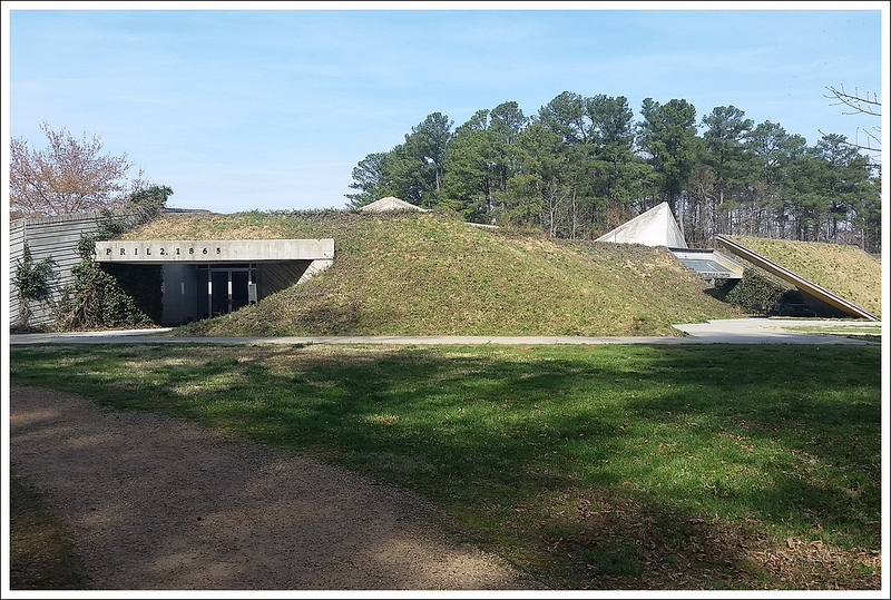
Civil War Trench from the Fortification Exhibit; Below: National Museum of the Civil War Soldier, views of the battlefield, trail views go from woods to open fields
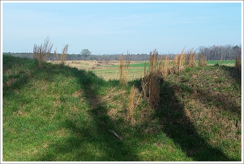
There are several miles of hiking trails through this park and it also connects to the Petersburg Battlefields Trail if you want a longer hike. I would recommend printing this map of the area, so you can get an idea of the landscape to start the hike. The main entrance is known as The National Museum of the Civil War Soldier. Leaving the building through the side entrance, you walk past a demonstration and then pass by the Tudor Hall plantation on the right. Continuing ahead, you walk past a Fortification Exhibit which gives you a closeup view of a trench and the defense systems around them. You then pass the Battlefield Center on the left and and begin the real hike on the Breakthrough Trail. The Breakthrough Trail has a Main Loop, Short Loop, and Intermediate Loop. Knowing I was going on a bit further, I started in .2 miles on the Main Loop. The main loop is mostly wooded as you go through an area known as Arthur’s Swamp. At .4 miles, you reach a junction where you can break off and take the Short Loop, but I continued on the Main Loop. At .85 miles, you come to a junction where you can continue on the Main Loop or begin the Headwaters Trail. I picked up a brochure at the junction and saw that The Headwaters Trail would actually connect as a large loop, so I decided to take the longer Headwaters Loop. Along the way, you get to see several Confederate rifle pits, small dugouts that formed strategic encampments. At 1.35 miles, you reach a short path that has a sign explaining an original logging bridge. From here you can break off the Headwaters Trail and make your way on to the Petersburg Battlefields Trail. The idea of checking out how these trails connected intrigued me, so I took this trail. From here, you are leaving the Pamplin Historical Park boundary. You go through some woods but then are left with great farmland views where you can imagine the feelings of the soldiers that were crossing this field. You can only begin to think about how many people lost their lives on that fateful day to stand up for their beliefs.
Battlefield Center. Below: historic placards along the trails, wooded walkways, school trips learning about trench warfare and getting into formations
Continuing on this trail allows you to get some open scenery, which is great for spotting birds in the fields. I walked on an open path and then at 1.65 miles, followed the sign pointing towards the parking lot. This trail continued to skirt around some open fields of farmland. At 2.4 miles, the trail takes a sharp turn to the left where you come across some large earthworks, serving as barriers protecting the Union line. I walked along these for a short distance and saw the trail continued further, but decided to make my way back. On my way back, at 3.25 miles, I came to the junction of the sign (one way leading to the parking lot, the other pointing to the Petersburg Battlefield Trail). Instead of taking a right, I decided to take a left to walk along the farmland and get more views, but I turned around after just .2 miles to get back to the trail I knew. From the junction sign follow the sign pointing to the Petersburg Battlefield Trail and at 3.6 miles, you finally rejoin the Headwaters Trail. At 4.0 miles, you reach a junction with the Woodlands Trail, which also leads back to the start, but I continued on the main Headwaters Trail. In a short distance, you begin to see the large Confederate Earthworks, forming that historic line the Confederates tried to maintain. The trail crosses over a break in the earthworks and then takes a sharp left turn to parallel the earthworks. At 4.4 miles, you reach another junction where you have an option on which side of the earthworks that you like to walk along the Intermediate Loop. At 4.5 miles, you reach a junction with the Woodlands Trail again and at 4.6 miles, you meet a junction with the Main Loop. Staying straight on the Intermediate Loop, it joins the Short Loop in a short distance. I took a right here and reached the Battlefield Center at 4.8 miles. I explored inside the Battlefield Center and then took in the Tudor Hall Plantation before returning to the main entrance at the National Museum of the Civil War Soldier.
If you are a civil war history buff, this would be a great place to hike and explore. I was thoroughly impressed with how much has been put into the care of the trails and the exhibits themselves. You could easily spend most of the day exploring the trails and grounds here. This would be a great hike to go as a family to learn about the history and if you have children, they may enjoy reading about the civil war on the placards along the way. I must say that I was pleasantly surprised at how great the trails were maintained here. I went in expecting that I could walk along some short, easy trails, but with adding the spur to the Petersburg Battlefield Trail, you can get a more serious hike into your day.
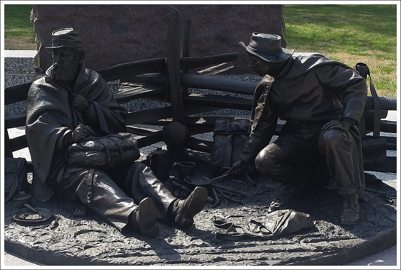
The Tudor Hall Plantation. Below: Open field views, statue at the entrance station.
Directions to trailhead: From Richmond, take I-95 south to I-85 south, to Exit 63-A (U.S. 1 south). Proceed one mile to Park entrance on the left. The Park is 30 minutes south of Richmond, VA. Coordinates: 37.182980, -77.480095
This 6.0 mile hike follows fire roads and trails to the summit of Robertson Mountain – one of Shenandoah’s less visited, more interior peaks. It’s a moderate hike with fantastic views!
The summit of Robertson Mountain is less visited than many peaks in Shenandoah.
Christine Says…
Our traditional Thanksgiving day begins with a hike and ends with homemade pizza and beer. I know it’s not the normal way to celebrate this holiday, but it’s what we’ve done for years now. Eating turkey would just be weird for us! Last year, Skyline Drive was closed for weather, so we had a beautiful short hike along the Appalachian Trail in half a foot of fresh snow. I still remember losing the trail multiple times because branches were so heavily bowed over the path. Thanksgiving of 2015 was quite different! It was so warm and sunny that it felt more like early fall. Even with a brisk breeze, we were able to hike comfortably in t-shirts.
We wanted to hike something new, so we settled on Robertson Mountain. It’s not as well-known or popular as many other Shenandoah trail, but we heard it had nice views of Old Rag and the valley. The hike isn’t listed in any of our hiking guidebooks and most of the online information approaches Robertson Mountain from the Old Rag parking area. That route is known as one of the steepest climbs in the park. We didn’t want to drive all the way around to Weakley Hollow, so we consulted our maps to find a route approaching the summit from Skyline Drive.
This cluster of buildings is sometimes used for training events or ranger accommodations. It was empty when we visited. Below: The hike started out on the Limberlost Trail; A pretty stream along the way; Most of this hike is walking on a fire road.
We decided our best option was to park at Limberlost and follow that trail to the junction with the Old Rag fire road. From there, we just followed the Old Rag fire road all the way down to its junction with the Robertson Mountain Trail. At first, the route seemed a little confusing because the fire road and the Big Meadows Horse Trail shared course for a while. Adam will give more specific details about benchmarks and distances in his portion of the post. Most of the walking along the fire road was mundane. We passed a pretty stream early on the route. We also came across a cluster of backcountry cabins. There wasn’t a sign marking them, but apparently they are used for training activities and ranger accommodations. As we descended the fire road, eventually Robertson Mountain came into view. Through the leafless trees, we could see it’s cone-like shape through branches.
We took a left onto the Robertson Mountain trail. It’s the only ‘real’ section of trail on this hike – the majority is fire road and the graded path of Limberlost. We climbed steadily for about three-quarters of a mile until we reached the top. A side path made it’s way to a rocky outcropping. We had the summit all to ourselves. We enjoyed a light lunch and spectacular views of the mountains. After leaving the summit, we explored a mountain-top campsite. There was definitely enough room for a couple tents, but no water source. Someone had recently put an illegal fire ring in at the site, so we dispersed the rocks before heading back down.
The hike back retraced our steps and was primarily an uphill climb back to Limberlost. If you’re looking for the less steep, easier way to visit Robertson Mountain – this is your route! The approach from Weakley Hollow is about the same total distance, but is a much steeper climb! All in all, this was a pleasant and moderate six mile hike. The route wasn’t very exciting, but the great views more than made up for it. It was the perfect way to spend our Thanksgiving morning.
We could see Robertson Mountain looming in the distance. Below: Climbing the Robertson Mountain Trail; A campsite with remnants of an illegal fire near the summit; Arriving at the viewpoint.
Adam Says…
Robertson Mountain is one of those hikes that doesn’t get much publicity, but treats you with a serene view over a mountainous landscape with barely a glimpse of civilization. Because of this, on most days, you will find that you can have this slice of serenity all to yourself.
We started our hike from the Limberlost Trail parking lot. The Limberlost Trail is a small loop, but start heading on the left, clockwise from the parking lot. There are several spurs that lead away from the Limberlost Trail and all of the junctions aren’t easily marked. After going just a couple tenths of a mile, we came to a sign that states “Horse Trail” with arrows to Skyland and Big Meadows (the next trail that comes off the Limberlost Trail Loop is the White Oak Canyon Trail – this is not the trail you want). Take this trail off the Limberlost Trail which is the Old Rag Fire Road. The Old Rag Fire Road starts off mostly flat until the one mile mark. At this point, it will start a steeper downhill. At 1.7 miles, you reach a junction with the Indian Run trail, but stay on the Fire Road. At 2.2 miles, you reach the bottom of the steep decline and reach another junction with the Corbin Hollow Trail. Stay on the Old Rag Fire Road and at 2.3 miles, you will see a small post on the left of the road that marks the beginning of the Robertson Mountain trail.
No one else to be seen on the trail on this day! Below: Gnarled trees near the summit; Descending Robertson Mountain; Returning to the junction of the Robertson Mountain Trail and the Fire Road.
Take this trail, which starts off through some thicker underbrush. This trail is much steeper but it is a short climb of .6 miles. The Robertson Mountain trail was very rocky and you think several times that you have reached a false summit, but the trail continues up. At this 2.9 mile marker, there is a small side trail to the right that leads to the summit. From the summit, you will see lots of nice rock outcroppings to enjoy the view. Continue back the way you came to make this about a 6 mile out-and-back hike.
For those that want to bag a few different peaks from this hike, you can reach Old Rag from here also. You could go back down the Robertson Mountain trail and then take a left at the Old Rag Fire Road. Taking this and then joining the Saddle Trail would take another 4 miles to reach the summit of Old Rag. This would give you about a 15-mile hike, so it could make a decent route for an overnight backpacking trip (but there isn’t really a water source) or a very long day hike for those that are very fit. Shenandoah provides a nice, free trail map of this area on their website.
This was a great way to spend a day on a hidden gem of a hike. While the fire road is not overly thrilling to see, it makes for some easy footing. We feel we have done so much of Shenandoah National Park, so we were pleasantly surprised at how this tucked-away hike gave us some of the better views in the park.
Difficulty – 2.5. This was an easy to moderate hike. The climbing was mostly gentle and well-graded.
Trail Conditions – 4. Most of the hike was along accessible trail or fire road. The Robertson Mountain trail was typical Shenandoah single-track.
Views – 4.5. Beautiful and fairly expansive!
Streams/Waterfalls – 2. There was one pretty stream early in the hike.
Wildlife – 3. We saw deer and birds. I am sure some hikers cross paths with bears in this area too. We saw some scat along the fire road.
Ease to Navigate – 4. The junction of Limberlost and the Old Rag Fireroad is not well labeled, but it’s also hard to miss something as wide as a fire road.
Solitude – 4. We saw some people around Limberlost, but nobody after that!
* MapMyHike is not necessarily accurate, as the GPS signal fades in and out – but it still provides some fun and interesting information.
Directions to trailhead: Located in Shenandoah National Park (fees apply). The Limberlost Parking lot is located around Mile Marker 43 on Skyline Drive. Park in this lot. Head left on the Limberlost Trail loop at the end of the parking lot. Coordinates: 38.580055, -78.381473
This 13.5 mile Appalachian Trail section includes quite a bit of the infamous AT ‘Roller Coaster’. The trail is rocky and the ups and downs are pretty constant. There are two nice viewpoints along the route, good camping spots/shelters, water sources, and a finish at Bears Den Hostel.
The view from Bears Den Rocks is a fitting finale for this section.
Adam Says…
The infamous “Roller Coaster”…. for years we have heard of how tough this stretch of the Appalachian Trail is and this was our chance to experience the grueling ups and downs that gives this section its epithet. We have previously covered 3.9 miles of the northern section of the Roller Coaster in our coverage of the AT from Harper’s Ferry to Bear’s Den. The distance between the southern and northern terminus signs marking the Roller Coaster covers 13.4 miles. From looking at elevation maps, we realized that most of the ups and downs are in the section between Bears Den and the Rod Hollow Shelter. There are about 10 significant climbs along the Roller Coaster that range from 250-450 feet of climbing (and typically over just about a quarter of a mile). This is a great section of trail if you want to get in shape. Since there aren’t a lot of views along the trail, you will find a lot of hikers on the trail are either trying to cover AT miles or are training for long-distance hikes or longer trail runs.
We dropped off our first car at Bears Den Hostel and paid our $3 day-use parking fee. We had arranged for a shuttle to pick us up and he was there within a minute of us arriving. Many times on the trail, you meet interesting people – he was a business consultant, counselor for people with drug addictions, and a school bus driver (and finds times to shuttle hikers). When we heard about how he balanced everything in his life, we were truly amazed. He dropped us off on the side of the road on US50 and we found the white blaze to head north on the Appalachian Trail.
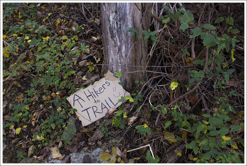
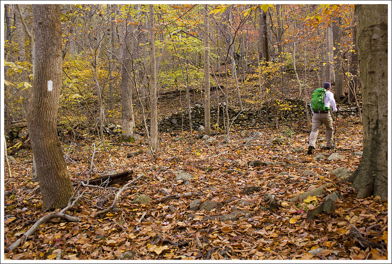
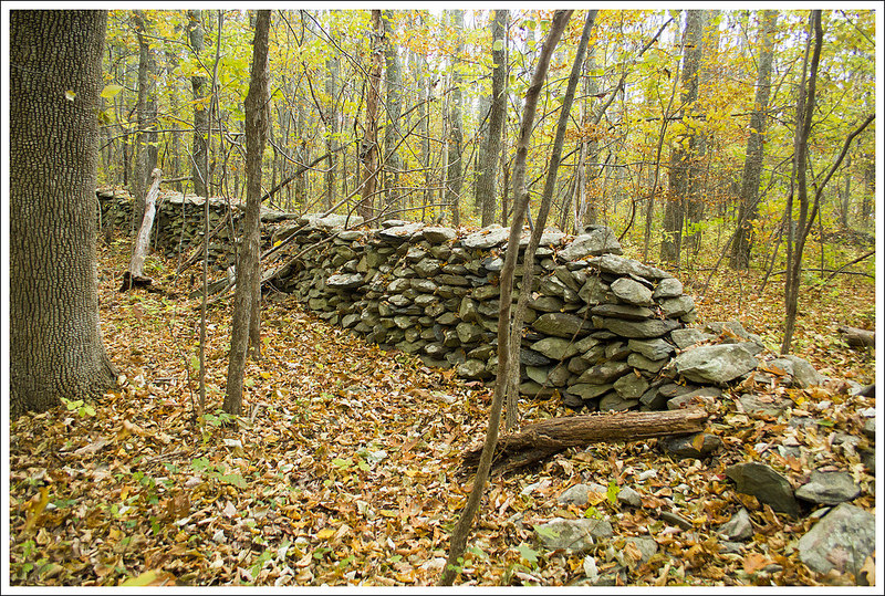
The woods were beautiful and golden along our route. Below: It would be nice if hikers didn’t leave hitch-hiking signs (trash) in the woods; Adam passes along an old stone wall; Some trees were still brilliantly colored – even at the end of October.
We pushed into the woods and soon the sounds of speeding cars was behind us. We started off with a gradual climb. We were hiking near the end of the peak of fall color, so looking all around we saw brilliant colors of yellow and orange in the trees around us. One of the challenges of hiking after many leaves have fallen is that it can make it difficult to ensure you are still on the trail. We were able to navigate easily with all the white blazes on the trees marking the AT, but retrace your steps if you don’t see any for a while. Early on this section, you come across a couple of streams at 1.4, 2.0, and 2.8 miles. At 3.6 miles, we reached the side trail for the Rod Hollow Shelter (.1 miles west of the trail). We wanted to eat a snack, so we made our way to the shelter to find the small shelter, as well as a covered picnic table for overnight campers to cook food away from where they sleep. The shelter also has a privy and a piped spring left of the shelter if you need a reliable water source.
Heading back to the trail, we continued north and at 4.2 miles, we reached the sign marking the southern end of the Roller Coaster. We knew we had some significant work ahead of us for the rest of the way. The first hill rose up steeply and descended to a spring at Bolden Hollow. At the bottom, I tweaked my knee – ugh! This gave me shooting pains for the rest of the trail. I knew I had to decide to push on to the end of the hike or turn around and bail. I decided to put on a knee brace (I always keep one in my pack) to give it some support. This helped for about half a mile, but the pain was almost unbearable. Every step was filled with pain that was begging me to give up. I just thought of all the amazing thru-hikers that fight through pain on most days of the trail and decided I wasn’t going to let myself surrender. We pushed onward and upward, reaching the next peak at 6.3 miles. At 7.1 miles, we reached a footbridge that goes over Morgan Mill Stream and also has a small campsite off to the side. We stopped here for an extended break to eat some lunch. At 7.6 miles, we reached the gravel road known as Morgan Mill Road. Crossing the road, there is a slight up and down before reaching another stream at 8.3 miles.
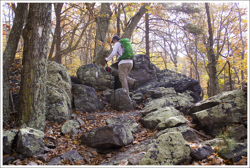
Much of the roller coaster was quite rocky! Below: Rod Hollow Shelter; You are about to enter the Roller Coaster; Descending one of the roller coaster’s hills.
After a mostly level part of the trail (relatively speaking), we then began to ascend up Buzzard Hill. Near the top, we took a small side trail that led us up to a nice viewpoint. I rested a bit on a tree overlooking the valley and then we proceeded back to the main trail. The trail descends steeply from Buzzard Hill and now for overcompensating for my one knee, my other started to hurt. Time to put on another knee brace (from Christine’s pack this time). We made it to another stream (yes, lots of water sources on this trail) and rose up another steep section to get to Sam Moore Shelter at 9.7 miles. We stopped for a snack and another rest before making the final push. I knew there was only one more major hill before the last push up to Bears Den, which gave me a small glimmer of hope.
We pushed up the next ascent, which then descends to another stream at 11.0 miles. Another small bump of a climb was ahead and we came to another footbridge at 12.2 miles. From here, it was just about .5 miles of a steep climb that led to Bears Den rocks. We took some time to enjoy the views from the rocks. So many people just drive to Bears Den and take the short trail to the rocks to enjoy the gorgeous views; but today, we truly earned it. I took a little time to reflect on how I battled through this pain and I can’t believe I made it. We took the trail leading us off the AT and to the Bears Den hostel. We went down the gravel road and made it back to our car. It was an exhausting day.
Overall, if it wasn’t for my injury, I don’t think the Roller Coaster is as hard as most people make it out to be. It does have lots of ups and downs and you may wonder why they didn’t make the trail go around some of these hills instead of up every one of them. The ascents and descents are relatively short, so you don’t have to do a grueling 5 mile climb up one steep mountain. If you are in good hiking shape, you should be able to handle the elevation. I would also recommend going in the peak of fall color – while there aren’t a ton of views until the end, the forest through this area is pretty when filled with color.
Christine Says…
Our hike of this section is significant because it closed a gap in our continuous Appalachian Trail miles! We’ve now hiked an unbroken 265 miles from Harpers Ferry to a road crossing south of Bryant Ridge Shelter (near Lexington, VA). We still have many, many miles to go, but 265 miles makes a noticeable mark on a trail map! Our tentative plan is to start working on the miles in southern Virginia later this spring, but with an elderly pet we don’t like to leave behind and a case of ankle tendinitis, I’m not sure how far we’ll get this year.
The roller coaster terrain wasn’t as challenging as I expected it to be. The hills were mostly small and short, and there is doubtlessly tougher terrain many places along the trail. I think the section’s harsh reputation might come from a couple things. First, climbing uphill feels like it should come with a reward in form of a vista; you climb uphill – you earn a view! On the roller coaster, the ups and downs mostly happen a tunnel of forest with nothing particularly noteworthy to see. Hikers call terrain like this PUDs – short for pointless ups and downs. They can be a little demotivating. I mean, honestly, if there is nothing to see at the top of a mountain, you may as well walk around it rather than over it! Second, I think most thru-hikers are ready to get out of Virginia by the time they reach the roller coaster. After 500+ miles in the state some hikers are feeling emotional doldrums known as the Virginia Blues, and the ups and downs just add to the tedium.
A pretty spot to eat lunch along Morgan Mill Stream. Below: A nice campsite along the stream; Another stream crossing; A burned area provided some more open views.
But, we’re not thru-hikers, so the hike of the roller coaster was just another fun day on the trail for us. I wish Adam hadn’t been in so much pain for most of the hike. At a road crossing, I suggested he bail out. I offered to run ahead and come back with the car to get him. I give him a ton of credit for gutting it out and hiking through the pain. He really didn’t want to miss any of the miles. You never know what you’ll see along the AT – even the most mundane miles can bring unexpected sites and experiences. For example, on this section we passed the 1,000 mile marker! It was just a plain sign stuck to an unremarkable tree, but still a memorable site to pass by.
The view from Buzzard Hill was a nice surprise on this hike. Our AWOL guide marked Bears Den as the only view along the way. (note: each vista worth seeing is typically marked with a camera icon in the guidebook). According to AWOL’s opinion, Buzzard Hill didn’t warrant a camera icon. I would disagree – the view was definitely worth a stop and the big dead tree on the rocky outcropping was fun to climb on. We took a long, restful break at the spot.
Another noteworthy thing we passed on the route was a glimpse through the trees of Mount Weather Emergency Operations Center. We could see a firing range and several large buildings in the compound. The center is a major relocation site for the highest level of civilian and military officials in case of national disaster. On 9/11, many members of congress were evacuated to this spot. It’s interesting that such a key feature of our national security lies so close to the trail!
Buzzard Hill had a nice view. Below: More views; Sam Moore shelter: Snacks and our AWOL page for this hike.
By the time we got to Sam Moore shelter, both of us were vaguely wishing we had done this stretch as an overnight. We had originally considered making it our last backpacking trip of the season, especially since there were so many nice camping spots and water sources along the route. But the weather was chilly and there was rain in the forecast, so we opted for a hot meal and the comfort of our own bed.
We arrived at Bears Den around 3:00. We took photos and spent some time enjoying the last weekend of peak fall color. Eventually, we hobbled back to our car and headed back toward home. On the way, we stopped at Woodstock Brewery for beer and flatbread pizzas. It was Halloween, and the brewery staff was dressed in elaborate costumes. My favorite was probably the bartender dressed as a squirrel. One of their beers is called ‘Tipsy Squirrel’, so the costume was especially fitting. I joked that we were dressed up as smelly, tired hikers — which was not far from the truth!
Christine climbing on Bears Den Rocks. Below: Our last big descent on the Roller Coaster before reaching Bears Den; The 1000 mile marker on the AT; One last stream crossing.
Difficulty – 4.5. The trail has lots of ups and downs and this is a long distance, but is great for training for longer distance hikes.
Trail Conditions – 4. The trail was well-maintained. A lot of the Roller Coaster is rocky, so it makes for some careful footing.
Views – 4. The views from Buzzard Hill are decent, but the best views are from Bears Den rocks.
Streams/Waterfalls – 3.5. Most of the streams aren’t scenic, but there are lots of them which provides great water sources.
Wildlife – 2. There wasn’t a lot of larger wildlife on the trail, but we did see some deer and a fence lizard at Buzzard Hill.
Ease to Navigate – 3.5. Leaves on the ground made this tougher. The confusing parts of the trail were finding the trail leaving the summit of Buzzard Hill and finding the right path leaving Bears Den rocks back to the hostel.
Solitude – 3. For most of this section of trail, we rarely came across anyone. Bears Den rocks should have lots of people enjoying the views.
* MapMyHike is not necessarily accurate, as the GPS signal fades in and out – but it still provides some fun and interesting information.
Directions to trailhead: First car: The Bears Den Hostel is located near VA-7, almost halfway between Berryville and Purcellville. From Berryville, take VA-7 East for about 8 miles before turning right on SR-601. Go .5 miles and turn right (you will see a sign on the right for Bears Den). Go .5 miles down the gravel road until you reach the parking lot. Leave one car here for your finish to your hike. Coordinates: 39.110111, -77.853890. Second Car: From Bears Den, head from the parking lot back to SR-601. Take a right and follow SR-601/Blue Ridge Mountain Road for 10.5 miles until you reach US-50. Turn right and park the second car on the side of the road. The AT crossing is just west of the “School Bus Stop 1000 feet” sign. Coordinates: 39.017014, -77.964454
This 21.2 mile route along the Appalachian Trail crosses Sky Meadows State Park and the G. Richard Thompson Wildlife Management Area. There are a couple nice vistas along the way, but it is mostly a quiet, wooded walk. This section of the trail has three shelters – one of the most luxurious (Jim & Molly Denton) and one of the oddest/smallest (Dicks Dome). Christine is going to cover the first day and Adam will pick up the second.
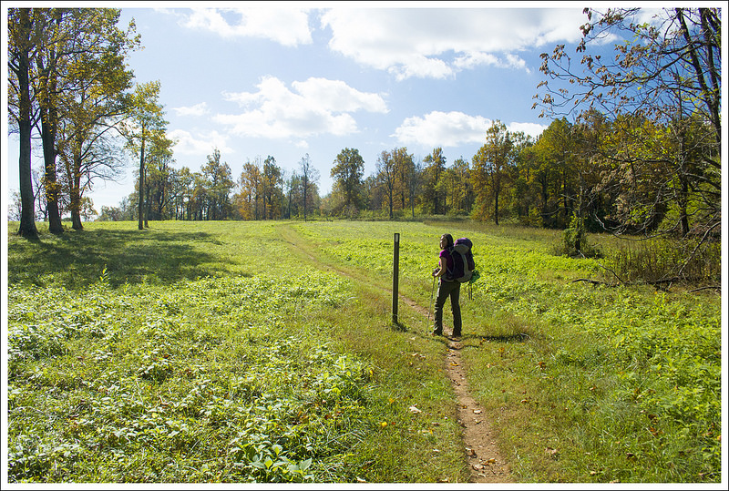
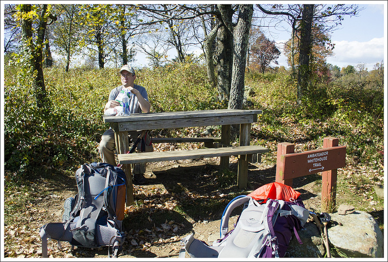
If you take the Ambassador Whitehead Trail off the Appalachian Trail in Sky Meadows, you will get some nice views of the Piedmont. Below: Adam crosses the four lanes of Route 50; Making our way uphill to the high point of Sky Meadows; Once you finish climbing, you clear the woods and come out into the open fields of Sky Meadows State Park.
Day One (6 miles total – 4.8 on the Appalachian Trail and 1.2 walking around Sky Meadows State Park)…
Most typical couples want to spend their anniversary in a cozy bed & breakfast inn or possibly out for a fancy multi-course dinner. Not us — we go backpacking — especially when we’re given a sunny weekend in the middle of peak fall color season! We took a Friday off of work so we could have two nights out on the trail. I was coming off a knee injury, so we picked a section with gentle terrain and several shelters/campsites spaced to allow for shorter mileage each day. The section between Ashby Gap and Front Royal fit the bill perfectly. It was also a good chunk of miles we hadn’t hiked before.
To make transportation easier, we hired a shuttle driver for this trip. None of the recommended shuttle drivers listed in our AWOL Guide were available, so we turned to the Appalachian Trail Conservancy’s list of shuttles. ‘Sharon’s Shuttles’ was prompt and affordable. The mother-daughter team has been shuttling hikers for over a decade now. We also arranged for a parking spot at the Mountain Home Bed & Breakfast in Front Royal. For just a couple bucks a day, Mountain Home will give you safe, off-road parking spot at their inn. (There is a small AT lot on Rt. 522, but we don’t recommend leaving a car there overnight.) Mountain Home also has a clean, well-equipped hiker hostel! The proprietors are past thru-hikers, so they’re a great source of information for the trail and the local Front Royal area.
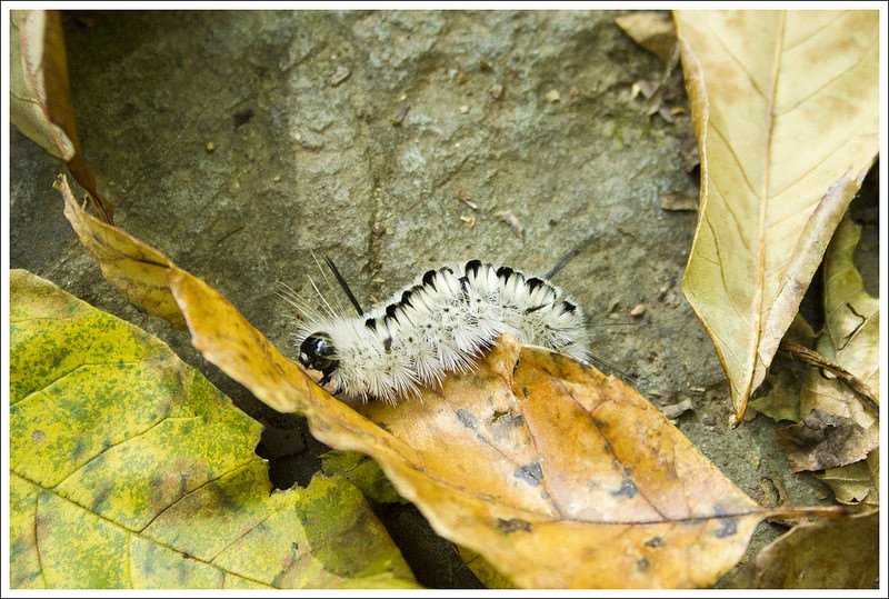
Pretty views at our lunch spot. Below: It’s nice to have a table to sit at for lunch; Leaving the high meadows area of the park; Hickory Tussock caterpillar.
We met our shuttle driver at the inn around 10 a.m. She drove us the 20 miles to our start point at Ashby Gap. As she pulled into the parking area above Ashby Gap, she said ‘I’m going to drop you off here because someone left a headless deer at the other end of the parking lot’. Gross! I am glad she gave us the warning because that is not something I want to see! I imagine the headless deer had a nice set of antlers that somebody wanted to keep. 😦
By 11:00 a.m., we were on our way! We followed a short spur trail from the parking area downhill to its junction with the Appalachian Trail. Headed south, we reached the busy road crossing of Rt. 50 after just several hundred feet. Cars were zipping by at 55+mph, so we made a run for it as soon as it was safe. After crossing the highway, we had a steady 1.75 mile climb up to the high point of Sky Meadows State Park. Most AT hikers probably walk across the high meadows of the park without detouring, but we decided to turn onto the Ambassador Whitehead Trail and enjoy a scenic view while we ate our packed lunch. At the viewpoint, there was a picnic table and a nice look down into a valley dotted with farm houses. I had been warm enough hiking in short sleeves, but as soon as we stopped I got cold really quickly. The brisk wind across the open meadow was enough that I pulled out my down jacket!
After lunch, we hiked the remaining mile within Sky Meadows, crossing into the G. Richard Thompson Wildlife Management Area. Near a trailside campsite, our paths crossed with two young guys hunting small game. They came out of the thick woods, and totally startled us. They were friendly enough, but it was pretty obvious they were mostly out to smoke pot and drink beer rather than actually hunt! As we walked along, we passed thick tangle of old grape vines. Some of the vines still had bunches of grapes. I tried a couple – they were very sour!
The G. Richard Thompson Wildlife Management area. You can probably make out some of the old grape vines in this photo. Below: Arriving at Dicks Dome; The rickety bridge across Whiskey Hollow stream; The shelter is small and oddly shaped.
We descended from higher, more open areas back into the woods. Over the last mile of trail before reaching our first campsite at Dicks Dome, we passed under power-lines and crossed a shallow spring. A small sign marked the spur trail to the shelter. The path was heavily covered with leaves and a little hard to follow. It looked like no one had passed by in days. Dicks Dome sits almost a third of a mile off the AT. A rickety, sagging bridge takes hikers across across Whiskey Hollow stream to the front of Dicks Dome Shelter. The shelter is a tiny, geodesic dome that might comfortably sleep three people. It was built by a scout group in 1987 and has seen better days. It’s so run down and small that the PATC is currently working on building a new shelter uphill from the dome. When it’s complete, it will be called Whiskey Hollow Shelter.
When we’re out backpacking, we leave the shelter space for thru-hikers and sleep in a tent. We spent some time looking around the shelter area for a decent tent site. There was nothing – everything flat was mucky and wet and everything else was on a slope. Because of the lack of tent sites, we ended up setting up camp on the completed deck of the unfinished shelter. There were no signs saying ‘keep out’ or ‘do not use’, so we figured the deck would be the easiest and most comfortable place to pitch our tent.
It was still really early in the afternoon – maybe 2:30, so we set up camp and filtered water. I took a nap while Adam read a book. Around 4:30, we collected a stack of small firewood so we could have a campfire that evening. The new shelter had a nice firepit with benches around it! We relaxed, played cards, and made spaghetti for dinner. As the sun sank lower in the sky, the temperature dropped quickly. What had been a warm, pleasant day turned into a cold night. We started our campfire and tried to stay warm!
Our little campfire next to the shelter. A nice fire ring and benches were already there. Below: Our camping deck; The woods around the new shelter site were lovely; Cards at camp.
We climbed into our tent around 8:30. It was already completely dark, and we wanted to put the fire out completely before it got too late. We knew the nighttime lows on this trip were going to be unseasonably cold, so we had both borrowed 0 degree sleeping bags from the Adventure Program at JMU. Isn’t that a great work perk? I was able to rent a nice-quality Big Agnes bag for just a few dollars! We normally don’t backpack when it’s cold, so we both just have summer bags rated for 32 degrees. I’m a cold sleeper, so I knew it wouldn’t be enough to keep me warm on this trip. I was thankful I had rented the bag… because it was COLD! I slept in a hat, gloves, thick socks, and a silk baselayer. I was comfortable and warm enough. It took me a while to fall asleep, but I eventually did. I think I ended up sleeping over ten hours that night. I guess that’s what happens when you sleep and wake by the natural light!
Day Two (15.2 miles)…
We woke up in the cold at the first sign of daylight and made a warm breakfast of granola, Nido, and hot drinks (coffee for Christine and cider for me). We packed up everything quickly and made our way back on the trail. Some people like to have a leisurely morning when backpacking, but we like to be up at sunrise and back on the trail as soon as possible. The cold helped us get moving quickly since we knew we would warm up once the blood started flowing.
The woods were beautiful in their golden leaves. Below: Manassas Gap Shelter; The spring is located downhill from the shelter; Hot lunch of buffalo chicken mac and cheese!
From Dicks Dome, we had only had a few tenths of a mile before we were back on the AT. The hike started off with some ups and downs, enough to get my blood going enough that I wanted to take off my outer fleece. After 2.5 miles, we reached a junction with the Trico Tower spur trail which leads to a communication tower. From this junction the trail descended a bit and at 3.2 miles, we passed a reliable spring. While a lot of the hiking in the morning was uneventful, we marveled at how beautiful the trees looked in the fall. The ground was covered with color and the sun shining through the tree tapestry gave us a reminder that the hard work of carrying packs was worth it.
At 4.5 miles, we reached the Manassas Gap Shelter. It was a little early for lunch, but we decided to stop and eat since we knew there was a reliable spring and a table to cook. We combined a macaroni & cheese meal with a buffalo chicken meal and topped it with bacon to make a glorious warm lunch. Once we had stopped, we could feel the chill of the wind, so it was back into our outer layers while we stopped. After resting a bit at the shelter, we pushed on.
A sign and a short spur trail led out to Barringer Point. The view was mostly obstructed. Below: Adam hikes along the trail; Old stone walls; Passing under I-66.
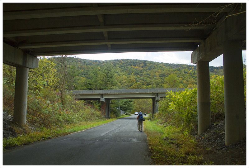
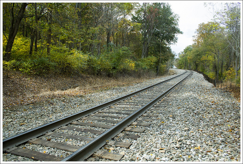
Descending from Manassas Gap, we came upon a large stone wall at 5.5 miles, which skirted the trail for a good distance. The trail continued to descend and we reached Tuckers Lane at 6.8 miles, which had some parking for the trail. Here, we hung a left and passed some houses with people doing yard work. I’m sure they are used to seeing lots of hikers, but it would strike me funny to see people coming out of the woods often right across from my house. You walk along the road for a while until you pass underneath I-66. The loudness of all the traffic made me feel eager to escape back into the wilderness. At 7 miles, you cross US-50 and continue on to a footbridge to stay on the AT. You pass over some railroad tracks before your hike begins a steep ascent.
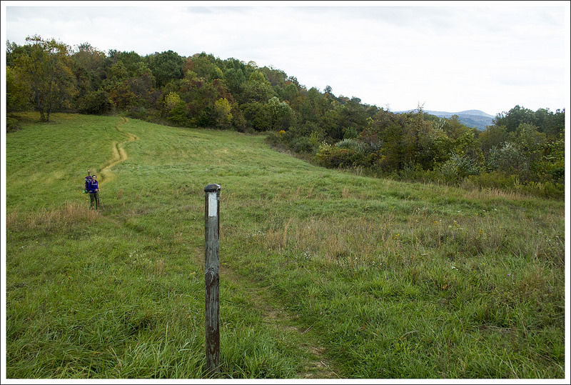
At the top of the ascent, the trail opens up to a beautiful grassy bald with a bench at the top of the hill. The views were somewhat obstructed, but this is a nice stop for a picturesque scene. My guess is that a lot of people park at Tuckers Lane and do this as a short out-and-back of about 2 miles, a nice spot for a picnic. Due to the cold wind whipping along the bald, we didn’t stay but a minute. At the top of the ascent, the AT enters the woods and descends again. On the descent down, the trail did open up through some gorgeous farmland. We walked along the trail and enjoyed the views – the scenery exemplifies Virginia mountains and farmland. At 8.8 miles, we reached VA 638. We crossed the road and rock-hopped a small stream at 8.9 miles.
The nice view after Tuckers Lane. Below: Train tracks near I-66, Some color along the trail; Rolling landscape.
At 10 miles, we arrived at the Jim & Molly Denton Shelter around 2:30 p.m. The temperatures were supposed to rise more that day, but the heavy cloud cover and brisk wind kept it from warming up at all during the day. Our plan was to stop for the night here and we found a nice campsite away from the shelter. This shelter is one of the plushest we’ve seen along the trail – it has a solar shower, separate cooking pavilion, nice Adirondack chairs, and even horseshoes to keep you entertained. We stopped for a snack before working on setting up camp. There, we met a very nice lady by the trailname of Puddles. She had thru-hiked the trail several years ago. We struck up a long conversation with her and loved her outlook on life; she has had a lot of trials in her life, but her positive attitude and love of nature keep her going.
The temperatures were dropping quickly while we ate our snack. With the foreboding skies and whipping wind, we knew we were going to be in for an even colder night. I really didn’t feel that the sleeping bags we rented were any warmer than what we personally owned (I know bags are often debated about how warm they stay with the gear-reviewing community). We talked it through and felt it may be best to try and push on to see if we could make the rest of the trip before it got dark. It was a shame to leave such a perfect spot, but we felt it was the best decision. As we had lollygagged a bit, we knew we needed to get going right away.
On our way to the third shelter along this section. Below: Passing through a fence opening; The Jim and Molly Denton shelter (check out the full photo album to see more photos of this luxurious stop!); The Mosby Campground.
From the Denton Shelter, the trail was a gradual uphill. We passed a powerline at 11.1 miles and then arrived at the spur trail for the Mosby campsite at 11.8 miles. Christine checked out the campsite while I waited on the trail. She came back and talked about how nice and spacious the campsite looked. What I didn’t know was that Christine wanted to camp here for the night because her knee was hurting and she wasn’t sure she had any more miles left in her. However, I didn’t pick up on her subtle signals and suggested we move along. When we’re backpacking, we both reach a threshold somewhere between 10-12 miles when things start being less fun for both of us. When you’re a weekend backpacker, you never really get the chance to build up the trail legs you need to easily carry a pack 15-20 miles a day.
At 12 miles, we crossed a forest service road. The trail stayed level for a while before a long descent that leads to Bear Hollow Creek. The sound of the creek was nice to hear and we soon came across a large fence to our right of the trail. This serves as the boundary for the Smithsonian Conservation Biology Institute land, an area used to preserve and study animals. We kept hoping to see elephants or cheetahs through the chain-link fence (not that they necessarily house any), but nothing was to be seen. We knew we were at the end of the trail as we reached this fence area and at 15.2 miles for this day, we reached US 522. We took a left on the road and reached Mountain Home in a short distance. We shambled into our car totally drained. We made our way to Spelunkers in Front Royal, our favorite place for a burger and shake after a long hike in the nearby area. We knocked off another section of the AT in Virginia and that is something we were proud of as we slurped up the last remnant of shake from the bottom of our cups.
Walking along the fenceline of the Smithsonian Conservation facility. Below: Back at Mountain Home B&B; Their cute hiker hostel; The inside of the hostel is clean and well-equipped.
Difficulty – 3. The (unexpected) distance we covered on the second day was challenging, but overall this was a relatively easy backpacking trip.
Trail Conditions – 4. The trail was in great shape with pleasant, non-rocky conditions.
Views – 3. We had nice views from Sky Meadows State Park and then some slightly obstructed field views on the second day.
Streams/Waterfalls – 2. There were only a couple very small streams on this section. They were sufficient as a water source, but not that scenic.
Wildlife – 2. We saw one deer on the second day, but that’s about it!
Ease to Navigate – 4. The White Blazes are frequent and easy to follow.
Solitude – 2. We saw relatively few people along the section. We saw two people hunting small game in the wildlife management area. There were two weekenders and one SOBO thru-hiker at the shelter.
* MapMyHike is not necessarily accurate, as the GPS signal fades in and out – but it still provides some fun and interesting information.
Directions to trailhead: To get to Mountain Home, take exit 13 off I-66W to get on VA-55W. Turn right on to VA-55W and follow it for 4.7 miles. Turn left on to US-522S and go 3.5 miles until you turn on to Remount Avenue and reach Mountain Home. To get to Ashby Gap from Mountain Home, head back on US-522 and now go north. In 3.5 miles, take a right on to VA-55E and follow that back to I-66. Head east on I-66 from 9.1 miles before taking exit 23/US-17N. Turn left on 55-E and go .5 miles before turning left on US-17N. Follow US-17N for 7.1 miles. Turn left on to US-50W and go 1.1 miles. Turn right on 601/Blue Ridge Mountain Road. About 1 mile up the road, you will see a small gravel parking lot on the left to park.
This four mile hike takes you by one of Virginia’s most beautiful waterfalls. The trail is engineered and mostly flat, so this hike is suitable for hikers of all levels.
Cascade Falls is one of those must-do hikes in Virginia, featuring one of the most picturesque scenes of a waterfall that you’ll get. We had been meaning to do this hike under more pleasant circumstances, but life doesn’t always work out that way. We were picking up our pug, Wookie (who many of you may remember has contributed his thoughts to some of our posts) from the Virginia Tech Veterinary Hospital. He has been suffering from chronic bronchitis – which is like COPD in humans – and had to have surgery to remove two of his lung lobes. We had a late afternoon pick-up for him, so we decided to go on a hike that morning while we were in the area.
There was tons of stream scenery along the hike. Below: The parking lot was packed; There were several wooden bridges along the hike; The trail was well-developed and engineered.
We arrived around 10:30 in the morning and found ourselves in a line of cars that were waiting for parking spaces. The tobacco-spitting parking lot attendant said it wasn’t like this a few years ago, but since Virginia Tech added this hike to a bucket-list during orientation for all of their incoming freshman, the place has been packed. Of course, we were doing this hike on the weekend before classes started at Virginia Tech, so there were students by the carload here. Only about eight cars back in line, we still had to wait about 45 minutes before we could park. I can only imagine that people that arrived around 11:00 would be waiting an eternity for a parking spot.
The trail starts at the end of the parking lot behind the information center and restrooms. Soon, you arrive at a bridge. The trail splits for an upper trail and lower trail. The attendant had suggested that we approach from the lower trail and then make a loop and return on the upper trail. We started on the lower trail, which hugs closely to Little Stony Creek the entire trip. Little Stony Creek has tons of spots to enjoy the views of the creek. You may even see a few paths that crossed the creek that were wiped out during a flood in 1996. The trail has been re-routed since then on the path you take now. There are some ups and downs as you go along the creek, but overall you are climbing along the trail.
Adam enjoys the stream.
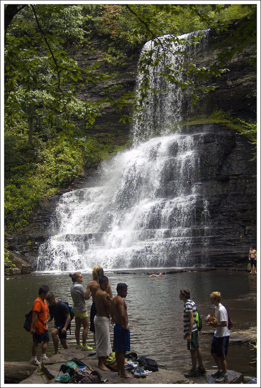
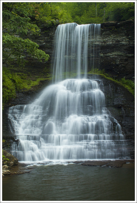
At 2.0 miles, you will reach the large Cascade Falls. The water plunges 69 feet from the top over a large, wide wall making for an impressive scene. We saw probably over 100 Virginia Tech students at the falls, some were swimming in the always-cold water while others were climbing on the rocks (or the large rock slide to the right of the falls). It was nearly impossible to get any pictures without someone in it, but the shots do provide the sense of scale of the scene. We enjoyed watching the falls for a while and then proceeded up the stairs to the left. One path leads to another vantage point from next to the top of the falls, but this was more obstructed. We ended up taking the trail from the top of the steps, heading to the left, which came to a junction in a short distance. To the right, the trail continues on to Barney’s Wall, but we decided to just descend the upper trail since we were out of time. The upper trail consists of mostly a large fire road, making for much easier footing than the lower trail; however, you don’t get the views of Little Stony Creek like you did on the lower trail. The return trip was a nice walk through the woods on the trail until we reached our car back at 4.0 miles.
Adam makes the final approach. You can see the falls and the crowds if you look closely. Below: Some of the big trees from past flood damage still lay across the stream; Passing through dense mountain laurel and rhododendron; Virginia Tech students swimming in the plunge pool.
We hopped in our car quickly to allow for the next waiting person to be able to take our spot. The line of cars was quite long by this point.
Christine Says…
Cascade Falls – known better as ‘The Cascades’ – is a beautiful, easy hike to one of the nicest waterfalls I’ve seen! The parking lot and trail were both insanely crowded, but I think we were probably there on one of the year’s busiest days. It was a weekend, the weather was cool and sunny for August, and the new school year was about to start at nearby Virginia Tech.
I’ve never hiked anywhere that I’ve had to wait in line for a parking spot, but that was the case here! Fortunately, we had all day to wait before our dog was discharged from the hospital, so we weren’t in any rush.
People love to stand at the bottom on the falls. Below: Crowds at the falls.
We walked the lower trail on our way to the falls. It was more of an engineered pathway than a classic, dirt hiking trail. There were paved walkways, stone stairs, and bridges most of the way to the falls. All along the way, the trail followed a scenic stream. There were tons of small waterfalls and cascading rapids to enjoy along the route.
A couple tenths of a mile before we reached the main waterfall, the trail passed through a dense mountain laurel and rhododendron thicket. After that, the path opened up onto a lovely grotto like scene. The falls cascades over a cliff into a large plunge pool. There were MANY kids swimming and sunbathing around the falls. I think I still managed to get a couple decent photos.
A vertical view – without people! Below: The upper trail is accessed by a staircase above the falls; The hike back passed a cliff formation; Most of the hike back was on wide fire road.
On the way back, we took the upper trail. It was basically a wide, gentle fire road that led back to the parking area. After the hike, I cleaned up in the parking area restroom. It was nice! Instead of a pit toilet, it had flush toilets, running water, and soap! We stopped for beers and lunch at Bull & Bones Brewhaus, while we waited on the call to pick Wookie up from the vet.
I’d like to do this hike again sometime on a quieter day. I’d also like to hike it when my mind isn’t preoccupied with worrying about my dog. It was really a beautiful spot!
Trail Notes
Distance – 4.0 miles
(Check out the stats from Map My Hike)*
Elevation Change – 742 feet
Difficulty – 1.5 Not much climbing and most people can make this. This is a great family hike.
Trail Conditions – 3.5 There are spots where things can be quite rocky/muddy. Due to the traffic, some of the rocks are quite slick.
Views – 1.5 The one path to the top of the waterfall gives a nice view of the scene below, but not the best view of the waterfall.
Waterfalls/streams – 5 The waterfall is amazing and one of Virginia’s best. The views along Little Stony Creek are great also.
Wildlife – 1 Due to the popularity, you will likely only see birds in the trees.
Ease to Navigate – 3.5 There aren’t any blazes on the trail, but the trail is evident. We were a little confused trying to find our way to the upper trail since there are no signs marking the way.
Solitude– .5 Due to the popularity, you will likely see a lot of people on this trail and especially at the waterfall. Time your trip for a weekday, overcast or rainy day, or very early in the morning to beat the crowds.
Directions to trailhead: Take exit 118A-B-C on I-81. Take US-460W. After 25.9 miles turn right onto Mill Road. In .6 miles, take a right onto Cascade Dr (SR-T623) in Pembroke. The parking lot is in 2.9 miles. Parking is $3 and cash is required (they noted they do not give back change). Coordinates: 37.353523, -80.599566
* MapMyHike is not necessarily accurate, as the GPS signal fades in and out – but it still provides some fun and interesting information.
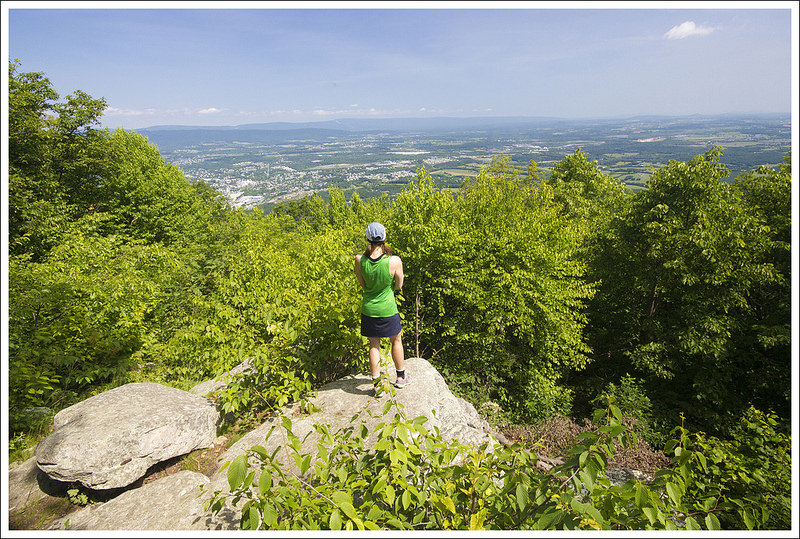
Christine takes in the view on Signal Knob. Below: Adam checks out the GWNF information board; The stone cottage; Wild rose.
Christine Says…
Picking day hikes is getting challenging for us – we’ve done most of the popular ones in the area. Yet, somehow, Signal Knob had repeatedly escaped our notice. We figured a pleasant Sunday in early June was a perfect day to tackle something new!
We started our day early with a big breakfast in Harrisonburg. Then we stopped for donuts at Holy Moly in Strasburg. We decided to save the donuts for post-hike, but Holy Moly is so popular (especially on the weekend) that we didn’t want to take the risk of them selling out.
Parking at the Signal Knob trailhead is abundant and completely off-road. When we arrived there was a small handful of other cars there. We started out from the trail on the north side of the parking area – look for orange blazes (Massanutten Trail) and a GWNF information board. The trail climbed steadily right away. We passed a really neat stone cottage right along the trail very early in our hike. It was in great condition and still looked in-use. Right after the cottage, we stepped over a small stream and continued uphill. The lower parts of the trail were lined with wild roses and sweetpeas. As we climbed higher, mountain laurel became abundant. The trail was openly exposed to the sun and offered some nice views along the way.
There were some pretty views through the trees on the climb to Signal Knob. The higher we climbed, the prettier the mountain laurel became. Low elevation laurel had already gone to seed. Below: A neat tree before the Buzzard Rock Overlook; Buzzard Rock Overlook; Fort Valley Overlook.
At 1.5 miles, we reached an opening in the trees which gave a backlit view of Buzzard Rocks on the other side of the valley. I can’t look at Buzzard Rocks without recalling the horrible ankle sprain I suffered there several years ago! We chatted with an older gentleman at the overlook – he warned us that the trail was about to get rocky! He wasn’t kidding! For the next 1.25 miles, the trail was a loose jumble of pointy, shifting rock.
At about 2.5 miles, we passed the marked Fort Valley Overlook. The view was mostly overgrown, but I can imagine it lovely when the trees were smaller! Gradually the rockiness tapered off; and so did the climbing. The trail became a pleasant stroll through the woods. We passed several nice campsites and passed the junction of the Meneka Peak trail at about 3.5 miles. The last .8 of a mile to Signal Knob was ever-so-slightly downhill.
When we reached the WVPT building, we thought the open vista behind the building might be the view. We chatted with a pair of hikers there and asked ‘Is this the only view up here?’ Both of them said ‘Yes… it’s the only view we’ve ever seen and we’ve hiked here lots of times.’ We took them at their word and felt a little underwhelmed by the view – it was obstructed by powerlines and disrupted by a steady buzz from the broadcast tower. Not wanting to doubt them directly, I whispered to Adam ‘This can’t be it… there’s no view of Strasburg and there’s supposed to be one!’ We decided to explore further before hiking down the fireroad. I’m glad we did!
Leaving the WVPT tower, do not follow the fire road downhill. Go past the tower and look for a trail than runs parallel to the ridge. If you follow it a short distance, you’ll come to a marked overlook – Signal Knob. We spent some time at the knob relaxing and enjoying a bit of breeze. Signal Knob is a nice overlook, but not a spectacular one. It’s a bit closed in and overgrown. And, if I’m being 100% honest, looking down into Strasburg with its housing developments, water towers, and roads just isn’t as breathtaking as looking out into raw wilderness. I did also enjoy our ‘company’ at the summit – for whatever reason, Signal Knob was hopping with toads. We saw dozens of them! I’ve never seen so many together!
The trail up Signal Knob is extremely rocky. Below: Once you reach the ridge it’s a bit less rocky; WVPT broadcast; A view behind the tower.
After enjoying the view, we followed the trail slightly downhill past the overlook. A trail marker directed us toward the Tuscarora Trail. We soon merged onto the fire road we had seen near the broadcast tower. We followed it downhill for almost a mile before reaching another trail junction.
The turn onto the Tuscarora trail is marked with another national forest information board. There is also a nice bench at the junction – probably an Eagle Scout project! Turning onto the Tuscarora Trail, you’ll immediately cross Little Passage Creek. It was a very easy rock hop. From there the trail climbs uphill for a little less than a mile. This section was a bit steeper than what was required to reach Signal Knob, but still squarely moderate.
Along the ridge, we passed the other side of the Meneka Peak trail. Looking at how these trails interconnect is interesting and definitely opens up some longer loop options. At about 6.4 miles, the trail passed through a small grassy area and began to descend steadily. There really wasn’t anything remarkable about the rest of the hike. It was just a walk through the woods. We saw a big bird’s nest of some sort. We saw tons of ripening blueberries. We passed some boy scouts on a weekend backpacking trip. We passed the pink blazed Sidewinder trail at 8.1 miles. We crossed a stream. At around 9.5 miles we passed a spur trail to Elizabeth Furnace. At this point the blazes went back to orange.
We found this part of the hike a bit confusing. Our maps and GPS disagreed on distances for waypoints late in the hike. There was also a lot of trail construction and rerouting going on. New paths were cut into the woods all over the place. Fortunately they all went in the same general direction. We tried to follow the most established paths. A little over a half mile past our last trail marker, we spotted a parking lot through the trees. Adam thought it was a different one from where we started, but our MapMyHike app indicated we made a full loop and we popped out on the south side of the lot where we had started our hike several hours earlier.
The day had become hot, humid, and overcast, so we were glad to be back at the car! We shared just one of the donuts (Peach Bellini!) so we could save room for a big lunch at Spelunker’s in Front Royal. On the way to lunch, we talked about the hike a bit. We both agreed that it wasn’t one of our favorites. I think it’s popular because of its vicinity to northern Virginia, but of the knobs in the Massanutten/Fort Valley area – I like Strickler and Duncan quite a bit more!
Adam Says…
We have had many people recommend Strickler Knob to us over the years. Knowing of its popularity, we thought it would be a good idea to get an early start. When we arrived, there were not many cars there, but from the size of the parking lot we knew it was a matter of time.
We started out on the north (right) side of the parking lot. The orange-blazed Massanutten trail started off our loop hike. The trail starts uphill and soon passes a large stone cabin on the left, while you can see a stream below to the right. You cross over the stream and then loop back in a northerly direction. At 1.5 miles, we reached Buzzard Rocks overlook. We talked there to an older man who was out for some morning exercise. He warned us of about a mile of pointy rocks ahead. Since he was hiking solo, he told us he doesn’t want to risk hurting himself and just goes to this overlook and back.
The trail takes a sharp left turn and then within a few minutes, we found the rocky area we had been warned about. Wear comfortable shoes, as the rocks were pointy and you always had to look at your feet to navigate through safe footing.
You can see the town of Strasburg from Signal Knob. We weren’t terribly impressed with the view. Below: Toads everywhere; The fire road; The information board at the junction with the Tuscarora Trail; A glimpse of a view.
At 2.4 miles, we arrived at the sign for the Fort Valley overlook. The trees and leaves have this very obstructed now, but you can get a glimpse of the valley below. At 3.4 miles, we arrived at the junction with the white-blazed Maneka Peak trail, but continue on the orange-blazed Massanutten Trail. The trail leveled out at this point, giving us a nice forest walk until we reached the broadcast tower at 4.3 miles. We walked behind the building on a small path and saw nice views on the backside of the tower. We were feeling disappointed when the two girls had said this was the view. My idea of views doesn’t include power lines cutting through the landscape. There were lots of bugs flying around us, so we didn’t stay here long.
We pushed on from the tower and saw that there was a huge fire road leading down, but the trail blazes seemed to continue forward back into the woods. We decided to take this route and then within a short distance came to the real view. We both felt bad that these girls, who had been up here several times, had always missed the real view up here. The view here did give us nice views of Strasburg below. I noticed that one of the rocks had a plaque below it that was put in here for a couple that loved coming up here.
Adam walks along the Tuscarora Trail. Below: Stream crossing near the end of the hike; Pretty butterfly; Holy Moly!
The trail then loops back and does join the fire road very shortly. We walked down the steep fire road and came upon another hiker who had just hiked up the fire road to the summit. The fire road was a fairly steep descent and had nice wildflowers along both sides. At 5.5 miles, we came across a bench and a junction with the blue-blazed Tuscarora trail. We took this trail to start our return trip. The Tuscarora Trail was more overgrown and the climb up Meneka Peak was the steepest climb on this hike. We were finally finished with the uphill at 6.4 miles and then the trail descends on the other side of the ridgeline just as steeply.
The trail descends for a good distance. At 8.1 miles, we passed by the pink-blazed Sidewinder trail and the trail leveled out a little more. We continued on and the trail became orange-blazed again at 9.5 miles. We followed the orange-blazed trail through the tricky section mentioned above and then arrived back at a lower section of the parking lot at 10.2 miles.
Overall, I was underwhelmed on this hike. The views were nice, but I have seen a lot better view hikes. I can imagine that in a few years, the trees and bushes may obstruct the main view even further.
Because of the inner-connectivity of all the trails in this area, there are many options for backpacking loops through this trail system. The loop that we chose didn’t have a lot to offer after the summit. If I was doing this again, I would likely do just an out-and-back hike to the summit, making this an 8.6 hike.
Difficulty – 3. The climbing on this trail is all easy to moderate, but the distance and loose/rocky footing increase the difficulty rating.
Trail Conditions – 2.5. The trail is rocky and shifty – especially the middle part.
Views – 3. There are descent views from Signal Knob and the WVPT broadcast facility. While other reviews give the vistas on this hike top marks, we thought they were just OK. The WVPT view had powerlines and the Signal Knob view is starting to get a bit overgrown and looks out toward an suburban area.
Streams/Waterfalls – 2. There were a couple small streams that could be used as water sources. We believe they dry out pretty quickly based on the fact that they were already on the low side after a week of rainy days.
Wildlife – 3. We saw lots of cute toads hopping around, and supposedly this is a good place for a potential bear sighting.
Ease to Navigate – 2.5. The blazing in this area is very thorough, but trail junctions are inconsistently marked. As of June 2015, it appears the forest service is working on a reroute of the last .5-.75 miles of the hike. There are lots of unmarked trails that criss-cross the established, blazed trail.
Solitude – 3. We saw a good number of couples and solo hikers out for a day hike. We also saw a group of college students and a boy scout troop out backpacking.
Directions to trailhead: From I-66, take exit 6 for US-340/US-522 for Front Royal/Winchester. Turn on to US-340S/US-522S/Winchester Road. Go 1.2 miles and take a right on to VA-55W/W Strasburg Road. Go 5.1 miles and take a left on to State Route 678/Fort Valley Road. Go 3.4 miles until you reach the large parking lot on the right. Park here. The trail starts on the right side of the lot. You will see the wooden information board that will mark the beginning of your hike. Parking coordinates: 38.93503, -78.31956
This 28.6 mile Appalachian Trail section is one of the toughest northbound sections in Virginia – you climb, and then you climb some more. The first nine miles are essentially ‘green tunnel’. The middle section has several great views. And, the last part is an easy downhill coast to the James River. We did this section over two nights – Adam will cover days one and three, and Christine will do day two.
The Appalachian Trail is sometimes called ‘The Green Tunnel’. Our first day of hiking was a good example of that nickname. Below: Bryant Ridge Shelter is one of the nicest along the AT in Virginia; Adam reads the shelter log; The closest we came to a view on day one.
Day One (8.7 miles)…
We started off our day by driving to the James River footbridge parking lot. I had arranged a shuttle to pick us up at 10 a.m. and then drop us off at our starting point at Jennings Creek. We enjoyed some breakfast at Cracker Barrel, but still arrived at the parking lot around 9:30 that morning. There were a few people in the parking lot that were getting ready to start hikes or taking breaks. One guy was hiking southbound to Roanoke and said he was looking for a ride to Glasgow so he could buy batteries to charge his phone. I found some extra batteries for my GPS, so I handed them over to him and told him I hoped it got him a little closer to Roanoke.
As 10 a.m. came and went, I got a little nervous that our ride might not show. I had some hope when a car pulled in to let off some thru-hikers, but it turned out not to be our ride. by 10:20 a.m., I thought we needed to see if we could figure out what was going on. There is absolutely no phone signal at the footbridge, so Christine waited in the lot while I drove until I could get a signal to make the call for the shuttle driver. I ended up having to drive for several miles before I got one bar and ended up having to leave a message. I turned around to get back to the parking lot and when I arrived, there was the shuttle driver with Christine. Whew! We loaded up our stuff and got on the road. Turns out, he had written down 10:30 for the trip. We were just glad we didn’t have to hitchhike or beg someone else to take us.
Our shuttle driver, Ken, was retired and spends most of his time during the spring, summer, and early fall taking care of AT hikers. He helps shuttle people where they need to go and picks up packages for AT thru-hikers to deliver to them. After talking with on the ride to our start point, we could tell that he is one of those true Trail Angels that just makes hiking the AT a bit easier for everyone.
We arrived to Cornelius Creek Shelter around 4:00 p.m. — before the crowds started rolling in. We got a very nice site behind the shelter. Below: Adam collected water from Cornelius Creek; Little Debbie Peanut Butter Creme Pies are a great dessert. They don’t get crushed. They’re soft and chewy. And they pack in 410 calories; Enjoying downtime at camp.
It was probably about 11:15 when we finally started our hike. The Jennings Creek area had lots of parking and it was a nice place to pick up the trail. We headed northbound on the white-blazed AT, which started with a steep climb from the road. After 1.6 miles, we had climbed 1000 feet and reached the top of Fork Mountain. The trail then descends about 800 feet and we reached another stream past a powerline at 2.8 miles. The trail continues along the stream for a while, giving you a great water source if you need it. At 3.8 miles, we reached the Bryant Ridge shelter, which was a great spot to eat lunch. We joined a couple of thru-hikers (one from Germany) at the shelter, who were eating a quick snack and filling up water from the stream. The Bryant Ridge shelter was one of the nicer shelters and even had a high loft and a window that let in some nice sunlight.
After fueling up here, we had a big climb ahead of us. From the shelter, the trail climbs up and up. At 6.9 miles, we had climbed about 2000 feet from the shelter and reached a sign noting a small sidetrail on the left to a campsite. We continued our climb and at 8.1 miles, reached the top of Floyd Mountain. The trail from here began to descend and we reached the sign that pointed to Cornelius Creek Shelter at 8.7 miles. This day there was nothing exceptional to see on the trail, but we were at least glad to be settling in at camp.
When we arrived at the shelter, we noticed the thru-hikers we had seen at the Bryant Ridge shelter were setting up in the shelter. The trail behind the shelter that led to the privy had lots of campsites, but some of those were already taken. It was only 4 p.m., but we felt we needed to stake our claim quickly so we set up camp in one of the remaining spots behind the shelter. Within minutes, we already had others setting up other tents nearby. We knew this was going to be a crowded night. After we set up our tents, I went to go get water by the stream near the shelter. There was a pileated woodpecker climbing up a tree just a few feet away from me. I enjoyed having this moment with this often-skittish bird. The woodpecker eventually flew off and I was joined by someone also filling water. It turned out he was a JMU student who worked at our rec center and we had some mutual acquaintances.
When we got back to our campsite, we began to make dinner, read books, and started a small campfire. Right around dusk, a large group of boy scouts arrived and there wasn’t much room. The only place left around was right near us; we were worried how they would keep us up but they were very respectful and kept it relatively quiet. As we overheard them talk, we heard they had a rough day. They had driven up and got lost somewhere on the trail and while they had parked just half a mile away from the road, they had walked for miles trying to find this shelter. They had rushed to set up camp and start to cook their dinner in the dark. One scout named Max was hungry when they arrived and asked what they had for appetizers. We got a laugh when we heard the scout leader tell him he could have a handful of unsalted nuts. I guess Max learned that the backcountry isn’t Applebee’s. After the fire faded, we crawled into our tent and drifted off to sleep.
Day Two (12.2 miles)…
Sunlight started filtering into our tent a little before 6:00 a.m. I unzipped my sleeping bag, stretched my legs, and changed from my camp clothes back into my hiking clothes. While Adam worked on packing up the tent and our sleeping gear, I made breakfast. Typically, we eat oatmeal, a honeybun, and some cheese. The goal for breakfast is always to eat lots of calories so we can hike for a while before needing a snack. On this trip, we swapped out the oatmeal for granola with Nido. Nido is a full-fat, enriched powdered milk found in most grocery stores’ Latino section. The Nido was fantastic – creamy, rich, and delicious with our maple-pecan granola.
After breakfast we were all geared up – backpacks on and ready to hike out – when suddenly I felt water running down the backs of my legs. Crap! At first I thought I had squished my Camelbak hose open, but it turned out to be a bit more serious. Even though the ‘locked’ arrows on my Camelbak lid were properly aligned, I guess the threads were still uneven. As soon as the gear inside my pack pressed against the reservoir, water started leaking out. All in all, a little over a liter of water gushed out into the bottom of my pack.
Adam took my Camelbak and the filter back down to the spring and refilled it while I worked on drying the spilled water. My pillow, sleeping pad, and sheet were all pretty wet, but I was most concerned about my sleeping bag. It was in a water-resistant compression sack. It felt wet on the outside, but I didn’t want to take the time to unpack it to check the inside. I guess my fate would be determined at camp that night! Within 10 minutes of the spill we were back on the trail.
Our first view came relatively early on Day 2. Black Rock Overlook was very nice. Below: Walking through tunnels of flowering rhododendron was very pleasant; Spiderwort along the trail; Adam approaches the summit of Apple Orchard Mountain.
I was pretty grouchy about all the wet gear, so I walked quietly behind Adam ruminating on the impending case of hypothermia I would probably get from sleeping in wet down. After a mile, we reached our first view of the day – a gorgeous vista from Black Rock Overlook. The view is located on a spur trail a couple hundred feet off the AT. After enjoying the mountainous view and taking a few photos, we headed down the trail. The going was pretty gentle for a while. We passed junctions with the Cornelius Creek and Apple Orchard Falls trails. We hiked to the falls and along Cornelius Creek earlier in the spring. It’s a great dayhike in this area.
After passing the junction with the Apple Orchard Fall Trail, we soon reached a gravel road at Parkers Gap. A flight of wooden stairs led uphill from the road. At the top of the stairs, we found two coolers of ‘trail magic’ for thru-hikers. One cooler had ice and bottled water and the other had a variety of snacks – fruit, cookies, and candy. We left the treats behind and began the tough 1.5 mile climb to the summit of Apple Orchard Mountain. On the open, grassy summit of Apple Orchard, we enjoyed more excellent views and a snack. We were even joined by a small garter snake trying to warm in the sun. The FAA radar dome sitting atop the summit is huge and plastered with NO TRESPASSING signs.
It felt good to take our packs off and enjoy the summit of Apple Orchard Mountain. Below: There are views from both sides of Apple Orchard; A snake in the grass; The FAA Radome atop Apple Orchard.
About a third of a mile north of Apple Orchard, we passed under The Guillotine – a round boulder perfectly balanced and wedged between two rock faces. Pretty neat! The trail went through a short and steep rocky section before reaching a pretty, sunny meadow. About a mile after the meadow, we popped out on the Blue Ridge Parkway.
We crossed the road and picked up white blazes again. We enjoyed pleasant, easy trail for another third of a mile to the Thunder Hill Shelter. We stopped in to rest and check out the shelter log. After leaving the shelter, the trail continued gently along. It was one of the prettiest parts of our hike – so many wildflowers! My favorite bloom to spot was a large patch of yellow lady’s slippers covering a hillside. They’re not as common as the pink ones, so it was a real treat to see so many at once. About 1.5 miles past the shelter, we reached the Thunder Ridge Overlook and decided it was a great spot to stop for lunch. Nearly 7 miles of hiking had burned off my breakfast and I was ravenous.
Shortly after descending Apple Orchard Mountain, Adam passed under the Guillotine – an interesting rock formation along the trail. Below: The descent from Apple Orchard was a bit rocky; A pretty meadow after the Guillotine; Thunder Hill shelter.
The viewpoint had a constructed stone platform and a superb view! Across the valley, we could even see the huge talus slope of the Devils Marbleyard – another popular dayhike in the area. We got out our Alite chairs and food bags and settled in for a nice long break. I had cashews, dried pineapple, a big handful of Sour Patch kids, and an asiago cheese bagel filled with cheddar cheese slices. I felt so re-energized after I ate! By this time, I had ceased thinking about wet gear and hypothermia and was just really enjoying my day. While we were eating lunch, clouds moved in and a breeze picked up. We ended up moving on sooner than planned because I actually got sort of chilled. Before we hiked on, we made a quick detour up to the parkway so we could throw all our garbage away in a real trashcan instead of continuing to carry it with us. When you’re backpacking, always take advantage of trash cans!
You can see Devils Marbleyard from the Thunder Ridge viewing platform. Below: The trail had a large patch of yellow lady’s slippers; The platform at Thunder Ridge gave us a nice place to eat lunch and take in the view; After Thunder Ridge, we had a long descent through green woods into Pettites Gap.
The next 3.3 miles covered a huge descent with only a few tiny bumps of climbing. It was fast going and we reached Pettites Gap around 2:00 p.m. We knew we had one short but difficult climb ahead of us before reaching camp, so we took our packs off, leaned back against a huge old tree, and ate another snack. We knew the last climb would feel pretty brutal – and it did not fall short of that expectation!
High Cock Knob was beautiful – covered with blooming rhododendron and mountain laurel. But it was extremely steep and rocky. It also had a false summit! We got to the top of a tough climb and started descending and thought ‘Yay… we’re done!!!’, only to have an even steeper ascent staring us in the face a few hundred yards later.
The climb down High Cock was equally steep – covered with loose, treacherous rocks. Several southbound hikers passed us coming the opposite direction. All of them asked ‘How much more climbing!?’ On the way down, Adam had an awful allergy attack. His throat almost closed and he had a difficult time catching his breath. It was pretty scary and he says he really doesn’t remember the last half mile of hiking. Fortunately, it mostly passed and his breathing eased.
There was one obstructed view from High Cock Knob — our toughest climb of the day. Below: Entering the James River Face Wilderness; The Appalachian Trail leaving north from Pettites Gap; The trail over High Cock passed through dense rhododendron and mountain laurel.
Arriving at Marble Spring was like reaching an oasis in a desert! The large grassy campsite had a huge fire pit with log seats, a spring-fed water source, and plenty of room for multiple tents. We chose a secluded tent site uphill from the fire pit. I hung my sleeping bag on a branch to dry – it was a bit damp around the feet. Everything else dried out over the course of the day in my pack. Hooray – hypothermia was no longer an issue. We collected water. I napped in the tent while Adam read a book outside. Being at camp is the best! Around 6:00, I came out of the tent, ready to eat – again! Dinner was lasagna with extra cheese and mocha pudding for dessert.
When we first got to camp, we were alone. But, over the course of the afternoon, a group of four West Point grads out for the weekend and two thru-hikers arrived. Compared to the dozens of people camped the night before at Cornelius Creek, sharing a large campsite with six people felt really quiet and solitary. One of thru-hikers climbed into his tent long before sundown and never came back out. Everyone else (us, a thru-hiker named ‘Captain K’, and the four West Pointers) shared a campfire and conversation. It was interesting to hear everyone’s assessment of the trail that day. It was universally agreed that High Cock Knob was a tough way to end the day! While we sat around the fire, a whitetail deer circled us like a vulture for over an hour. Weird – maybe she wanted to the grassy area to graze? Eventually, the sun slipped behind the mountains, we ran out of firewood, and everyone headed off to their tents for the night. It was a long, hard day of hiking, but it had been full of beautiful views, colorful wildflowers, and blooming trees. One more day to go!
Marble Spring Campsite was spacious and grassy with a nicely flowing spring. Below: Our comfortable campsite; A peek into our backcountry kitchen.
Day Three (7.7 miles)…
We were woken up a little earlier than normal by the sound of a fox screaming and then an incessant whippoorwill that sang for about an hour straight at the first glimpse of sunlight. We started off our third day with an earlier start than the previous day (also thanks to no leaking water bladders) and made our way from the Marble Spring campsite heading north again on the Appalachian Trail. Captain K also was getting ready for his day of hiking and was hoping to get to town to get his resupply package. We told him we would give him a ride to town if he was still at the parking lot.
On our third day, we enjoyed abundant blooming mountain laurel along the trail. Below: Mountain laurel; Catawba rhododendron; You can see the radome atop Apple Orchard mountain in the distance.
Day two had been a tough, long day on the trail, so I was wondering if I had enough energy for the third day. I was surprised to find that Day three was much easier. A lot of that was because it was mostly downhill, but my muscles felt surprisingly ready to tackle the day. Our moods were also boosted by how pretty the trail was. While yesterday was a day filled with tons of rhododendron, today seemed to want to match it equally with mountain laurel along the trail.
The trail started off with a flat section. At .5 miles, we reached a junction with the south side of the Sulphur Spring Trail. At 2.3 miles, we reached the junction with the Gunter Ridge Trail and at 2.8 miles, we reached the junction with the north side of the Sulphur Spring Trail (the Gunter Ridge trail is part of the Devils Marbleyard loop). The trail begins to descend more steeply at this point and we reached Big Cove Branch at 3.6 miles. The trail continues to descend until you reach Matts Creek Shelter at 5.5 miles.
We started to see views of the James River through the trees. Below: Stream crossing; Nice views from the trail on day 3; Adam arriving at Matts Creek Shelter; Walking along Matts Creek; Cliffsides along the river; View of the footbridge from a distance.
The Matts Creek Shelter was fairly run down and from reading the entries in the trail log, the privy was scary as well. We ate a quick snack here, but quickly moved on. At 6.3 miles, the trail ran parallel to the James River, at time providing glimpses of this impressive river. We started to see people kayaking in the river, people going out for a quick stroll on the AT, and a couple of trail runners. We knew we were getting close to the end of our trip. At 7.5 miles, we reached the James River footbridge. At the footbridge was a family that had backpacked with a couple of kids. One of the kids (about 11 in my approximation) had asked us how far we went and we told him. He was impressed, since he had backpacked from Petites Gap (about a 10 mile trip). I told him that I thought he could do it one day, since he still had a smile on his face after backpacking 10 miles. I told Christine I think we just witnessed a kid that just found his love for backpacking. We crossed the James River footbridge and made our way back to the car.
We crossed the Foot Footbridge at the end of our hike. Below: Scarlet Flycatch wildflowers; Footbridge from different angles.
When we got to the parking lot, Captain K was there. He said he had arranged someone to pick him up, so he was going to wait there for his ride. Before we had left, we had filled up a cooler with ice, put in a few drinks, and hoped they would be a cool reward for when we were done. I offered him a cold soda, which he gladly took. The day was already getting quite warm, but we were able to escape into our air-conditioned car. We drove to Lexington to eat lunch at Macado’s and then had a few beer samples at Devil’s Backbone to celebrate.
I’m so proud of how far we have come since Backpacking 101. We feel like we now have the confidence and ability to do multi-day trips with heavy packs. Every backpacking trip we go on, there are new challenges, new things to learn, and adventure just around the corner.
Trail Notes
Distance – 28.6 miles (Check out the stats from Map My Hike* [Day One] [Day Two][Day Three])
Elevation Change – 8100 ft. (Several official sources calculated this elevation total, my less reliable hiking phone app put it closer to 6,000.)
Difficulty – 5. We are not going to sugar coat it – this was a very tough section with lots of climbing.
Trail Conditions – 4. The trail was dry and not too rocky. Stream crossings were small, shallow, and easy.
Views – 4. Views from Black Rock Overlook, Apple Orchard Mountain, and Thunder Ridge were all excellent but none were true 360 degree views. We also enjoyed some nice views through the trees on the descent to the James River.
Streams/Waterfalls – 3. Matts Creek was lovely. And, of course you have to say something about the James River!
Wildlife – 4. We saw deer, snakes, and had a whippoorwill and a screaming fox at night two’s camp.
Ease to Navigate – 4. Follow the white blazes and you practically can’t get lost. The only thing slightly tricky was the big hairpin turn at Marble Spring.
Solitude – 2. We chose to hike this section on Memorial Day weekend… with perfect weather… during the thru-hiker bubble. While we didn’t see crowds on the trail, camping spots were very crowded.
* MapMyHike is not necessarily accurate, as the GPS signal fades in and out – but it still provides some fun and interesting information.
Directions to trailhead: To drop off first car: From I-81, take exit 188A to merge on to US-60E towards Buena Vista. Go 3.9 miles and then take a right on to US-501S at the Hardee’s. Follow 501S for 14.9 miles until you reach the parking lot on the right for the Appalachian Trial crossing. To get to starting point for this section: Take a left out of the parking lot and go 5.6 miles on US-501N. Take a left on to VA-130W and go 6.2 miles. VA-130 ends here. Take a left to go on to US-11/Lee Highway heading south and then take the exit for I-81S. Go 1.7 miles and take a right across from the Exxon to stay on US-11S. Go .4 miles and then merge on to I-81S. Go 7 miles and take exit 168 to merge on to VA-614 toward Arcadia. Turn left on to VA-614/Arcadia Rd. Follow this as it becomes Jennings Creek Road. At 4.7 miles, you will reach the parking area and where the Appalachian Trail crosses the road. Head north to start your hike.
Adam takes in the view from Bluff Mountain. Below: The pond at Punchbowl Mountain Shelter; The shelter itself has seen better days; The Ottie Cline Memorial – put it place for a child lost in the mountains in the late 1800s.
Christine Says…
When Adam and I first started hiking sections of the Appalachian Trail, we focused on the trail through Shenandoah National Park. The park is close to our home, making it easy for us to bring two cars for a shuttle. We did short sections – most of our day hikes ranged from 6 to 8 miles. We did a couple sections as overnights, covering 10-12 miles total over two days. When we first started, those hikes really challenged me – but they also made me want more!
We’re now traveling further from home to complete sections, so we push to complete bigger miles to make the travel time more worthwhile. We’ve also found friends and businesses to help us shuttle along the way.
We met Lynchburg friends, Dennis and Tina to do this AT section from Punchbowl Mountain down to the James River. We’d never met them in person, but we’d chatted online about hiking and the Appalachian Trail for almost a year. We were really thankful for their good company on this hike!
We met early Saturday morning at the Foot Footbridge across the James River. ‘Foot Footbridge’ isn’t a typo. The bridge is named after hiking enthusiast, Bill Foot, who worked tirelessly (while also fighting cancer) to see that the bridge was built. It’s a beautiful and impressive bridge across the James River, and there is nothing else like it along the Appalachian Trail.
After Adam and I got acquainted with Dennis and Tina in the parking lot, we hopped in our car and made our way along the Blue Ridge Parkway to our start point – the Punchbowl Mountain Overlook. We left off here last fall after completing a 17 mile section from Hog Camp Gap.
The morning began with our only significant climb of the day- about 1400 feet over two miles to the summit of Bluff Mountain. About half a mile into our ascent, we detoured to visit the Punch Bowl Shelter. The shelter is a little bit run down and sits next to a murky, muddy, mosquito-haven of a pond. The shelters to the north and south of Punch Bowl (Brown Mountain Creek and Johns Hollow) are both much nicer places to stay the night.
The wildflower display was in full force when we hiked this section of trail. We saw dwarf irises, pink lady’s slippers; native pinxter azaleas, wild geraniums, rhododendron, mountain laurel; wild bleeding hearts; scarlet flycatch (in the full album), and spiderwort (in the full album). It was gorgeous!
After our short stop, we continued our climb to the spectacular open top of Bluff Mountain. We were swarmed by no-see-ums and gnats, but we still enjoyed the (almost) 360 views and watching the morning fog burn off the valley. The remains of a fire tower foundation still sit on the summit. Immediately upon leaving the summit, we stopped at the Ottie Cline Powell memorial. The marker tells the sad tale of a little 4-year old boy lost in the mountains in 1891.
From there, we had four miles of gentle downhill or practically flat ridge walking. It was delightful! Wildflowers were blooming like crazy! The woods smelled fresh, green, and earthy. Even though it was a warm, humid day, the cool mountain breezes made for perfect hiking weather. Along the ridge, we passed junctions with a couple trails – Saltlog Gap and Saddle Gap. I’ve heard these trails are pretty overgrown and don’t know much about them. From there, we enjoyed several great views along the ridge. The views far exceeded my expectations for hike, and I really enjoyed the bird’s eye view of the James River. About 7 miles into the hike, we passed the junction with the Little Rocky Row trail, and reached Fuller Rocks – another lovely view point.
After that view, we descended the mountain along 21 switchbacks. At first the descent was pretty steep, but eventually it moderated and entered a stand of enormous old trees. Dennis even took the time to hug a couple of them.
At 9.2 miles, we took the short side trail to visit Johns Hollow Shelter. The camp is located in a peaceful, open spot in the woods. The shelter is typical, but the tent area behind the shelter is especially nice. There was lots of flat, grassy space to pitch
Walking along the trail lined with yellow flowers. Below: Everything was turning brilliant spring green, Views from the ridge; Descending toward the James River.
After leaving Johns Hollow, we hiked about another half mile in the woods before crossing a gravel forest road. After the road, we quickly reached Rocky Row Run – a beautiful mountain stream that eventually feeds into the James.
The stream was very scenic and we all enjoyed the sound of the flowing water. There were lots of blooming wildflowers and rhododendron along the creek. We crossed a couple small wooden bridges along the way, before popping out on the side of Route 501. From there, we crossed the highway and returned back to the Foot Bridge and parking area at 10.6 miles (11 if you include mileage from shelter visits).
We all decided to walk across the bridge to check out views of the James! It was a beautiful view – especially looking back to all the distant rocky outcroppings we had stood upon earlier in the day. Standing on the bridge, my mind drifted to the next section south – wondering what it would be like and what challenges and gifts would lie ahead on the trail.
Dennis and Tina – thanks for hiking with us! Can’t wait to meet up again.
Adam Says…
This section of the Appalachian Trail was one we had contemplated doing for a while. We have covered now a section of contiguous miles that includes from this point up to Front Royal. It is easier to say, “We have walked from Front Royal to the James River” than to say “We have walked from Front Royal to a place off the Blue Ridge Parkway north of the James River”.
As Christine mentioned, when traveling further away from home the next concern is wondering if we need to bring two cars or figuring out if we can get someone to help us shuttle. It can be hard to find some friends that want to go trekking in the woods for over 10 miles. So, we were very glad to meet Dennis and Tina. They have done this section a number of times before but were willing to do it again with us.
This section was a surprise to us. We hadn’t seen enough nice pictures from these overlooks to know if it would be worthwhile to check. But, we hiked on a very clear day that made the scenery gorgeous.
A nice view of the James River looking in the direction of Apple Orchard Mountain. Below: Dennis points out landmarks from above; This fallen was perfectly balanced across several other standing trees. It looked like the mast of a ship; Tree hugger!
After meeting up, we drove to our starting point on the Blue Ridge Parkway. We met a few guys in the parking lot that were doing a multi-day backpack as well. We crossed the parkway and headed up the white-blazed Appalachian Trail, heading southbound. The beginning of the trail started a steep ascent. It was already a warm, muggy day, so with the extra work of going uphill I got sweaty very early in the hike. In .4 miles, we reached the side trail to the Punchbowl Shelter. The side trail was mostly downhill to the shelter. When we arrived, there was nobody staying there. The shelter is in a nice shady spot, but we could tell the insects were swarming near the pond. We checked out the trail log in the shelter and then made our way back up to the Appalachian Trail.
The trail continues to be mostly a steep climb until you reach the top of Bluff Mountain at 2.0 miles. There were great views to the west from the trail. The bugs were relentless (at least to me) from this open area, so while I would have liked to stay up there longer, I wanted to quickly get back into the woods and away from the bugs. We saw a brilliant indigo bunting flying around the treetops from the overlook. As soon as you get out of the clearing and back into the woods, you see the memorial for Ottie Cline Powell on the ground to the left.
Lovely Rocky Row Run ran along the last mile of the trail. Below: Johns Hollow shelter has a large, grassy field suitable for pitching multiple tents; An interesting cliff face along the trail.
The trail then begins a steep, downward descent. At 3.5 miles, you reach a junction with the Saltlog Gap Trail, but stay on the AT. The trail mostly levels out as you walk along a ridge for a while. At 4.6 miles, you reach a junction with the Saddle Gap Trail. Staying on the AT, the trail begins to climb a more gradual ascent until you reach Big Rocky Row at 6.1 miles. The views from this area were my favorite, as you got to see the James River below snaking through the landscape of mountains.
From here, the trail descends and you reach Little Rocky Row at 7.3 miles, also giving you nice views along the way as you walk down the ridge line. The rest of the hike is basically all downhill from this point until you reach the James River. At 9.2 miles, we reached the a short side trail that took a very sharp turn to Johns Hollow Shelter. We checked out this shelter and came across another two section hikers that were enjoying a week along the AT. There was a nearby stream for replenishing water and a privy. After eating a quick snack, we returned to join the AT again.
The trail again was mostly flat or downhill. We crossed the stream at 9.4 miles and then crossed the gravel VA 812 road to continue on the AT. As we were walking along, Dennis started talking about black snakes and within minutes we saw one directly on the trail as if he had summoned it. The forest through this section had many larger trees along the way and then opened up to beautiful rhododendron plants that were aligning the stream on both sides. It was such a serene setting. At 10.3 miles, we reached the Lower Rocky Row Run bridge. We crossed the run and then at 10.6 miles we were back at US 501. We crossed the road which had the trail lead us right to the parking lot where we started.
We already plan to get back together sometime with Dennis and Tina for a backpack trip sometime in the near future. It is always great to find like-minded people to experience the outdoors together!
Our hike concluded on the northern side of the James River. Below: Kayakers on the river; The Appalachian Trail crosses the James on a long footbridge.
Difficulty – 3.5. 11 miles is a little on the long side, but after climbing to the summit of Bluff Mountain early in the hike, the rest of the terrain is easy to moderate.
Trail Conditions – 4. Consistently well-maintained trail. Some parts of the trail are narrow along a steep hillside, but still easily passable.
Views – 5. Super views from Bluff Mountain, nice views along the ridge, and then amazing views of the James River.
Streams/Waterfalls – 3.5. The final stretch of this hike follows pretty Rocky Row Run, and of course – you end at the James!
Wildlife – 1. We saw a black snake.
Ease to Navigate – 4.5. Just keep following those white blazes south. The trail is easy to follow and well-marked.
Solitude – 3. We saw a fair number of hikers along the way, including quite a few northbound thru-hikers, but you never feel like the trail is crowded.
Directions to trailhead: To drop off first car: From I-81, take exit 188A to merge on to US-60E towards Buena Vista. Go 3.9 miles and then take a right on to US-501S at the Hardee’s. Follow 501S for 14.9 miles until you reach the parking lot on the right for the Appalachian Trial crossing. To get to your start point: Leaving the parking lot, turn right on to US-501S. Go .8 miles and continue straight to take VA-130 E. Go 2.8 miles and then turn left on to the Blue Ridge Parkway. Turn right on to the Blue Ridge Parkway and go 9.8 miles until you reach the small parking lot for Punchbowl Mountain where the Appalachian Trail crosses the parkway. Cross the road and you will see the Appalachian Trail marker which has the trail leading uphill.