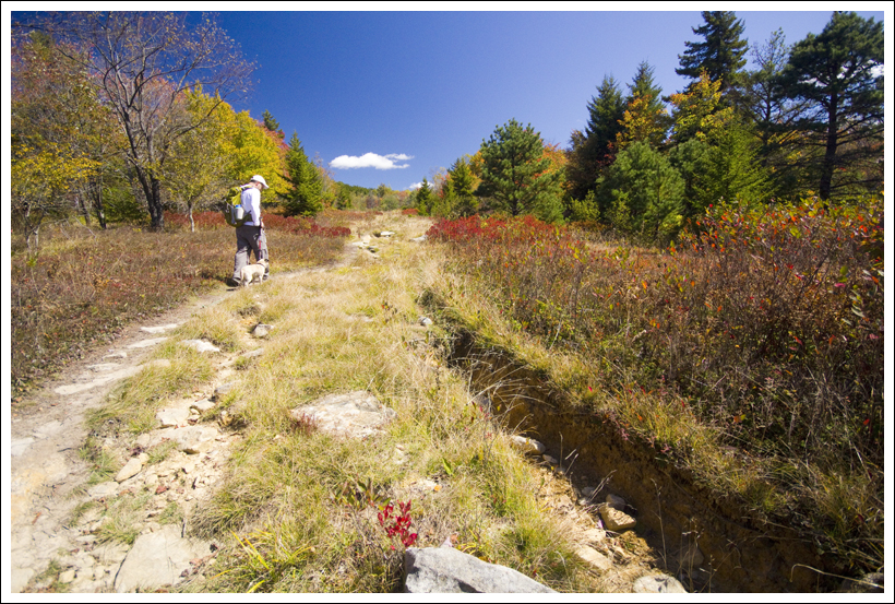
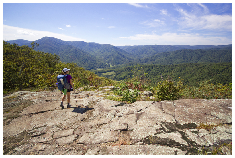
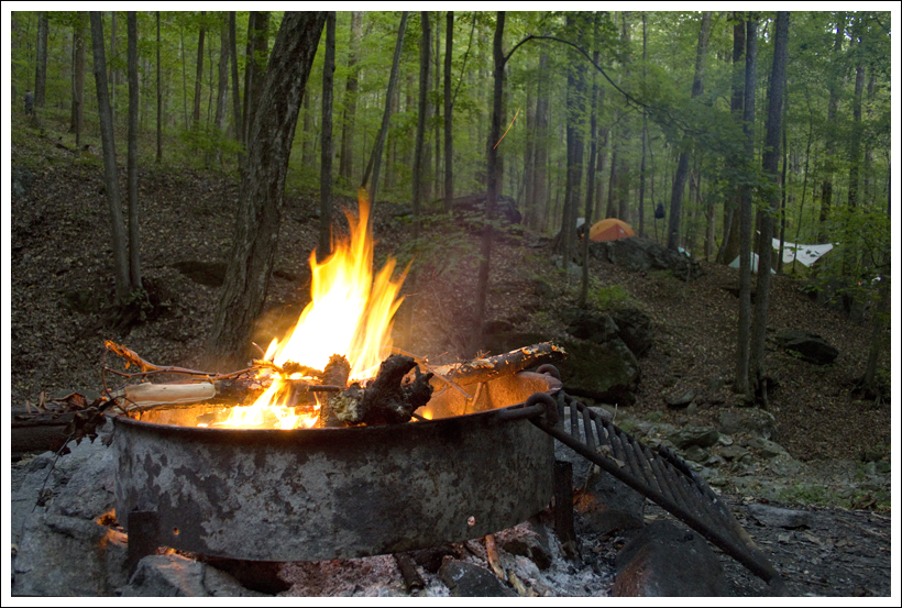
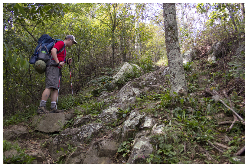
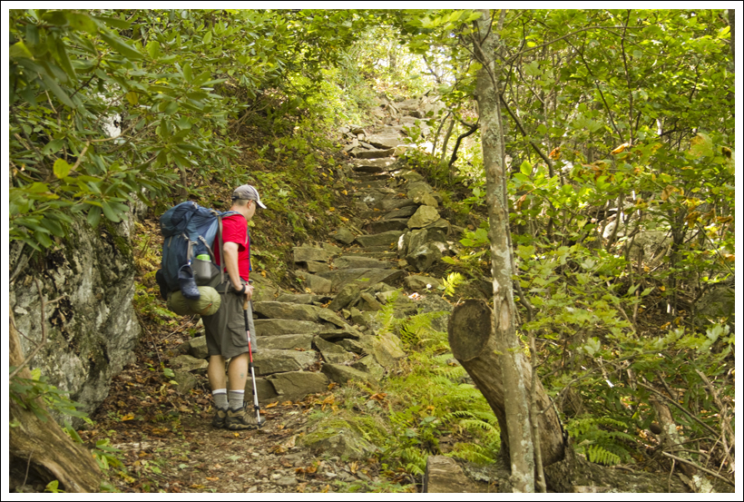
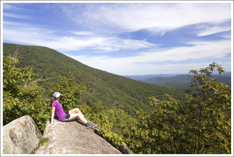
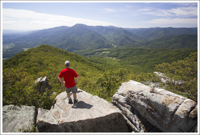
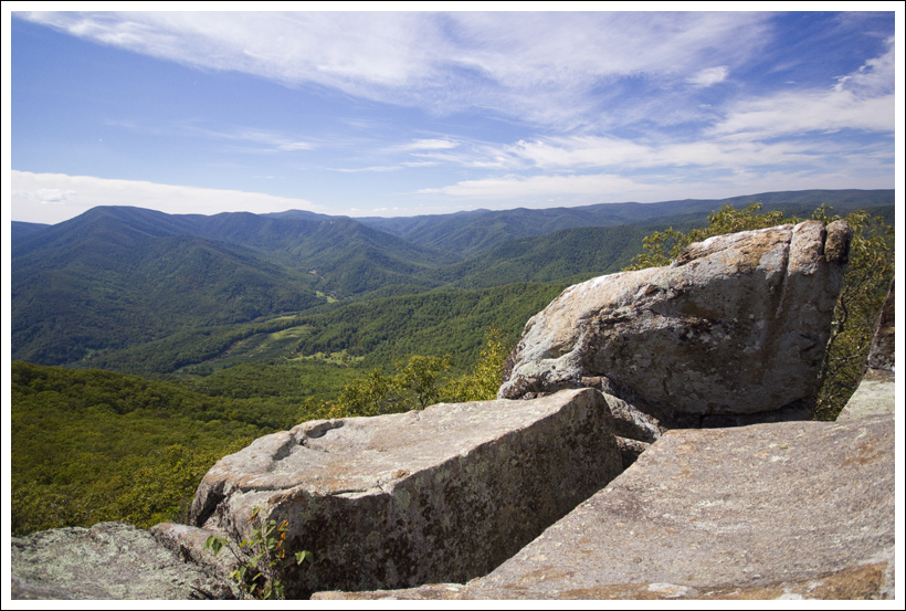
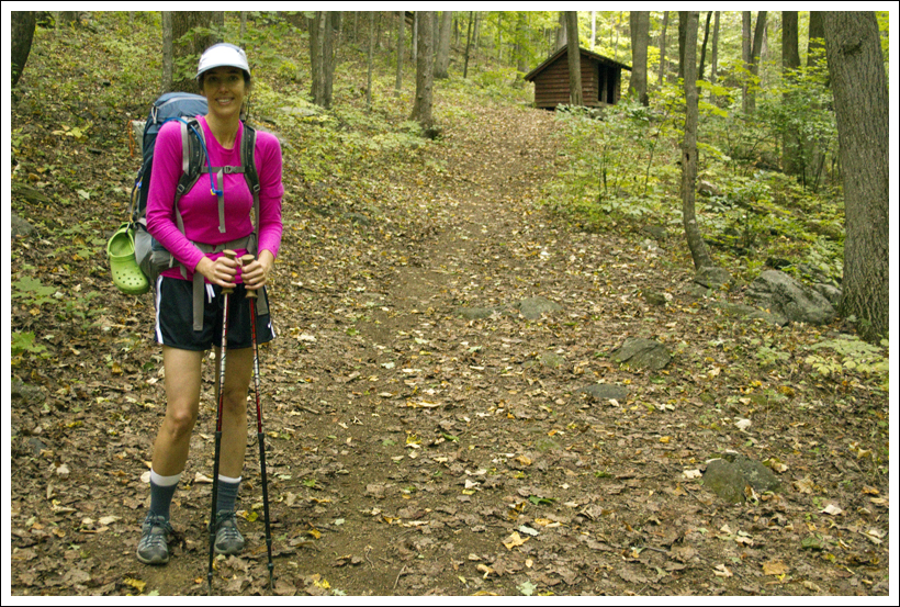
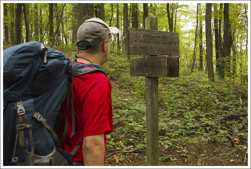
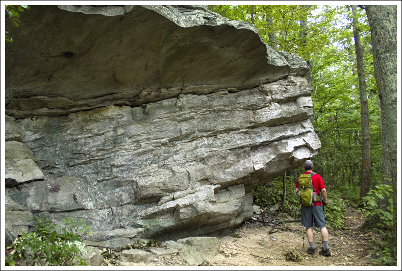
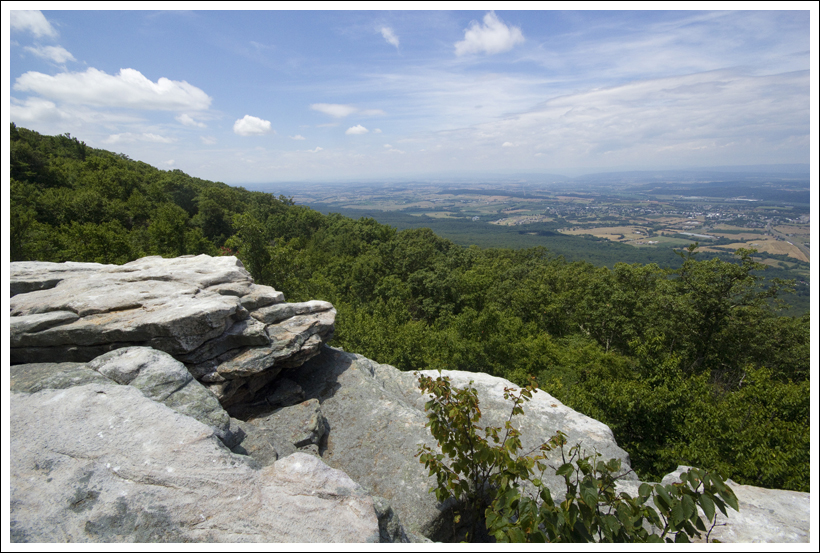
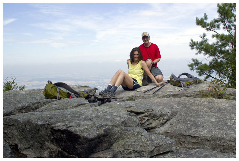
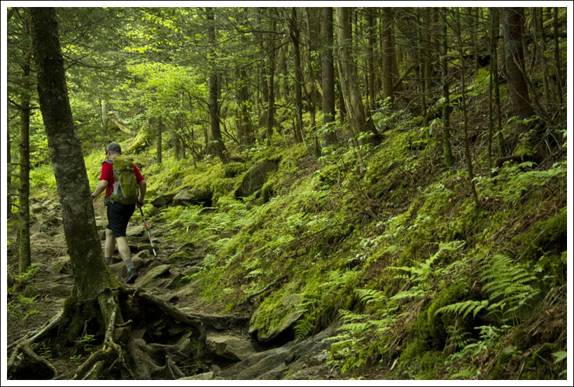
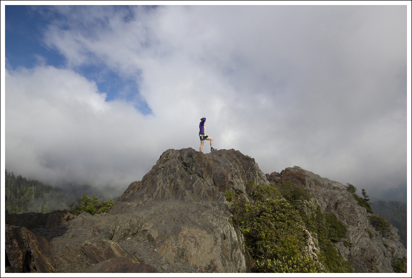
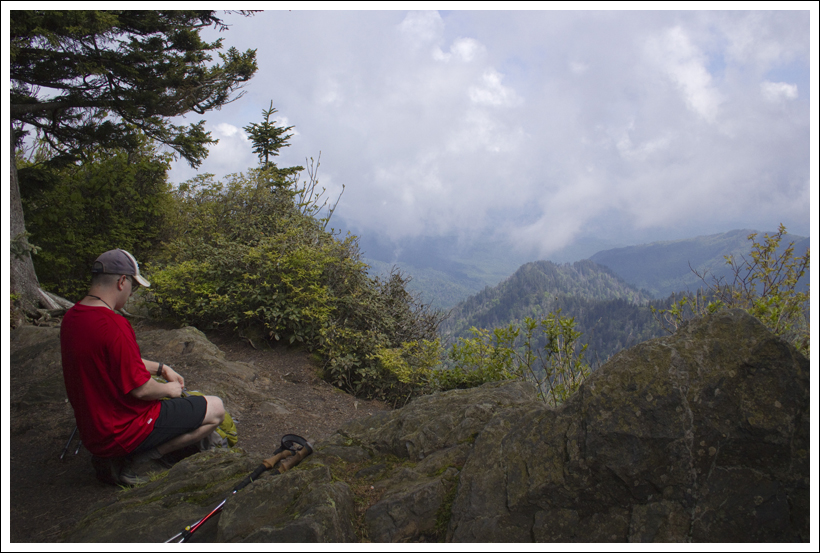
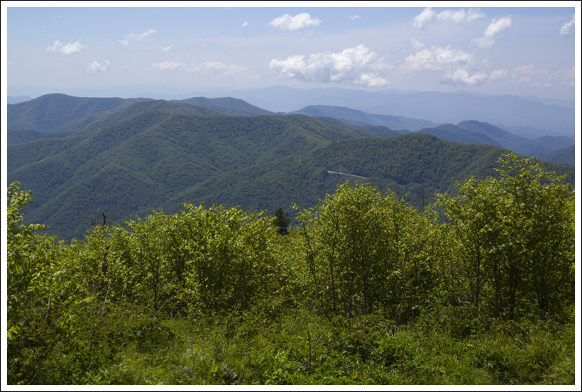
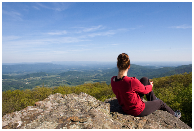
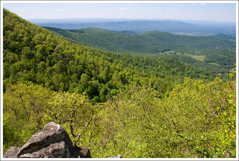
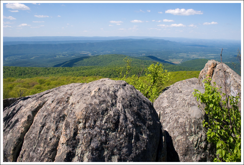
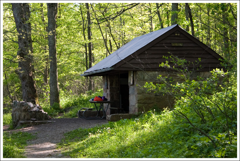
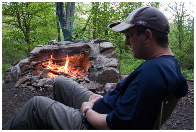
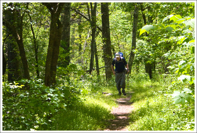
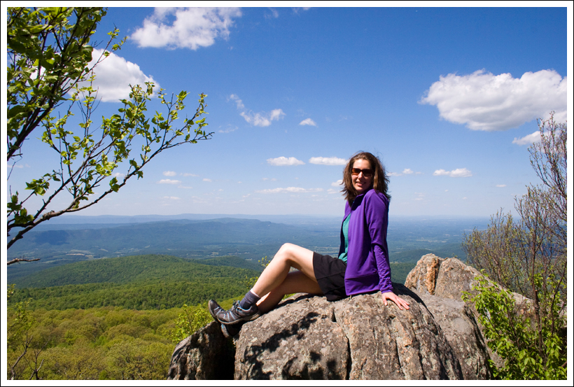
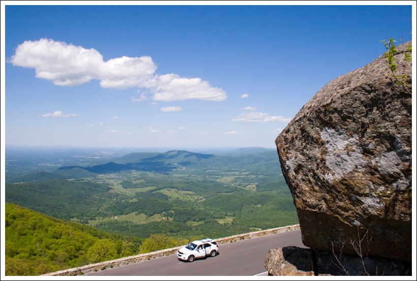
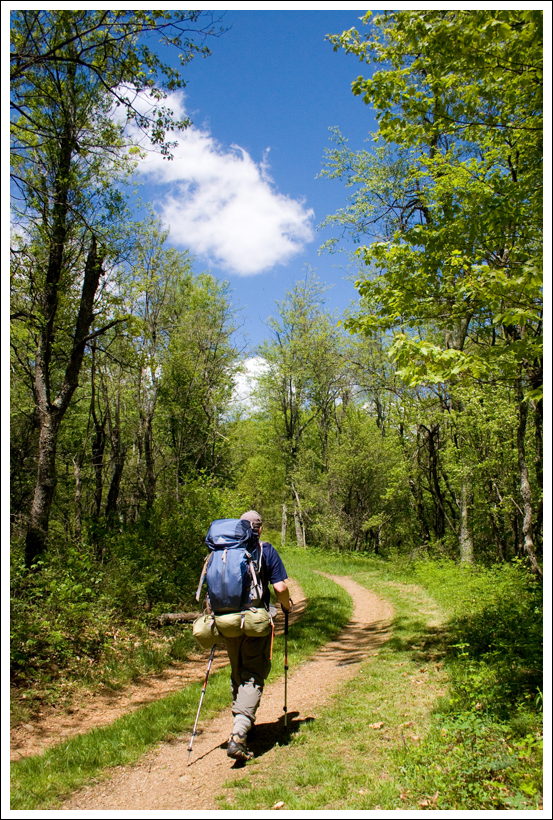
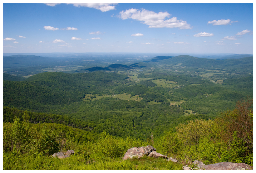
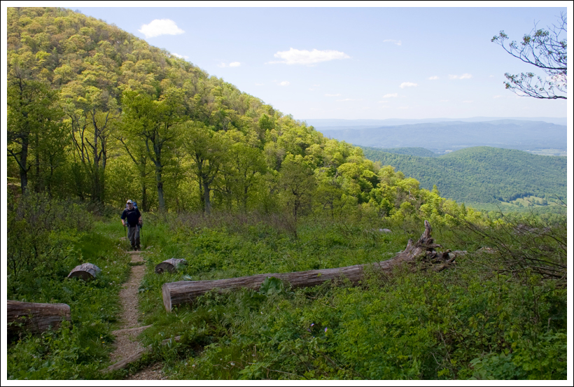
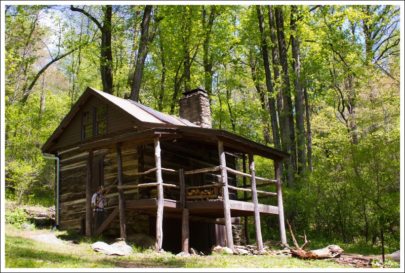
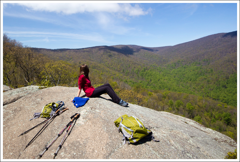
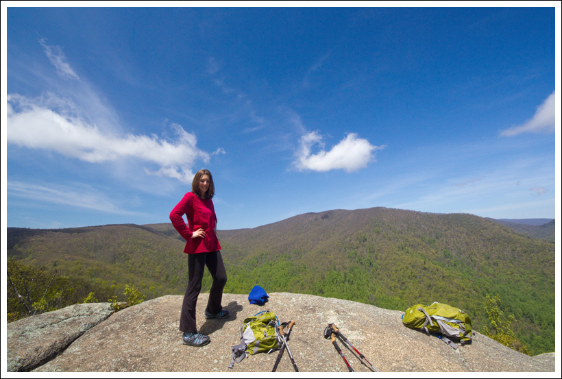
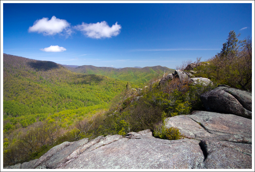
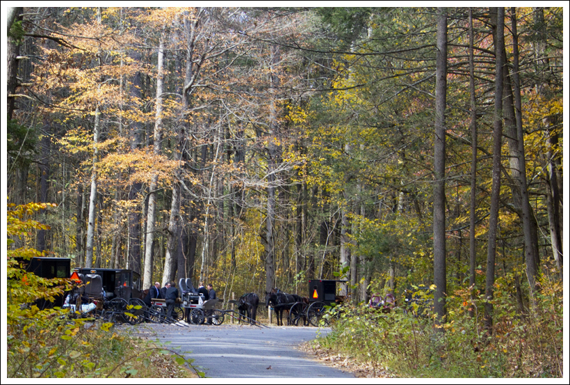
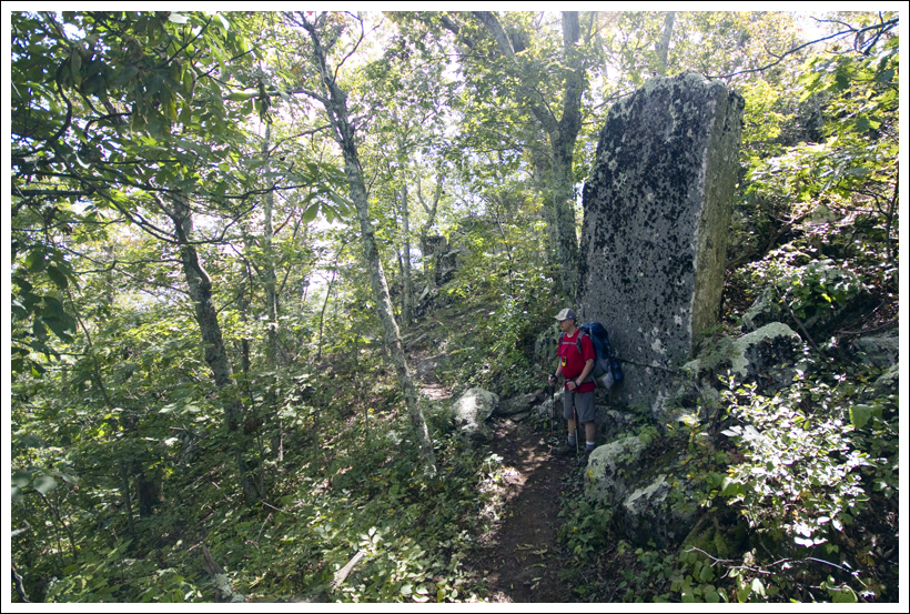
This 5.75 mile hike takes you to an old fire tower sitting atop a high peak on the border of West Virginia and Virginia. After visiting the tower, you can either head back to the parking area (which would cut the distance and make this a 3 mile total round-trip hike), or continue to explore the Shenandoah Mountain trail with a walk over to Hoover Ridge.
SPECIAL NOTES: Please be conscientious and respectful when hiking in this area. Hiking trails near High Knob are adjacent to private land. Please honor posted ‘no trespassing’ signs and stay on official forest service trails. Please do not tamper with posted private land signage.
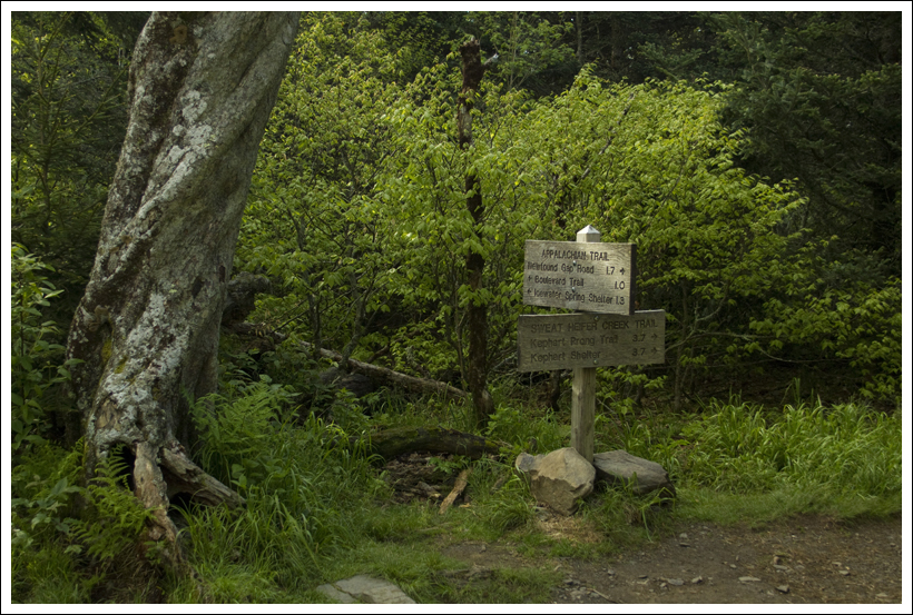
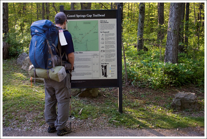
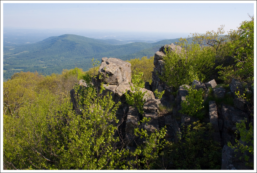
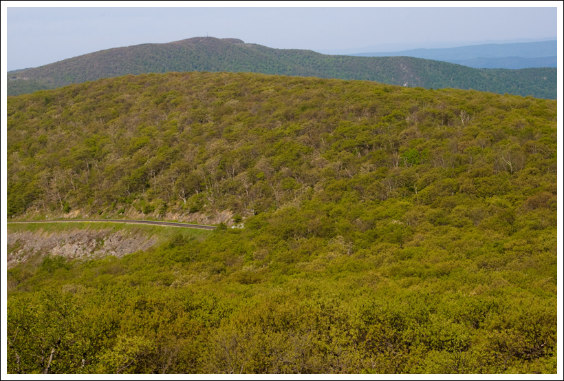
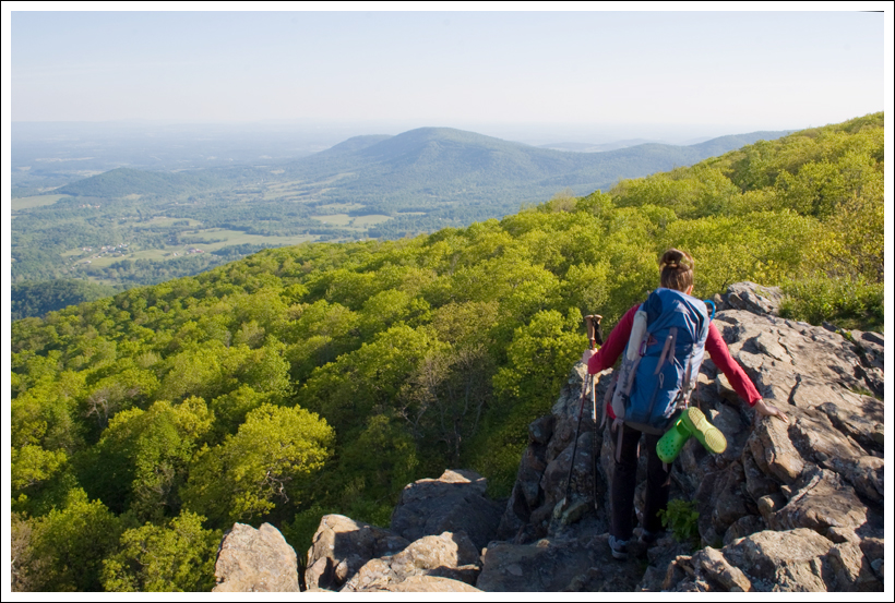
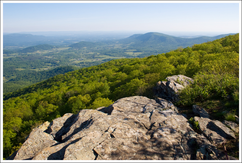
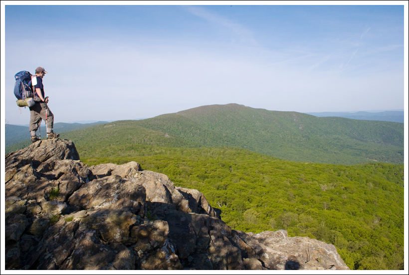
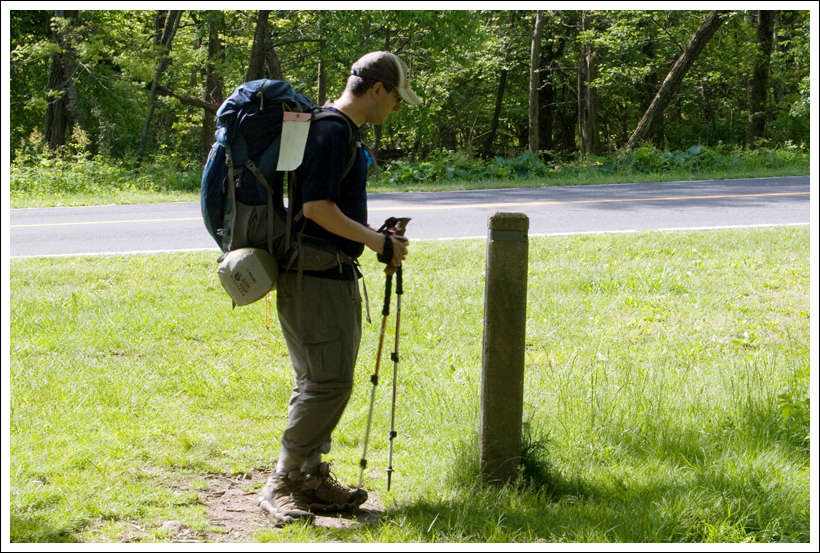
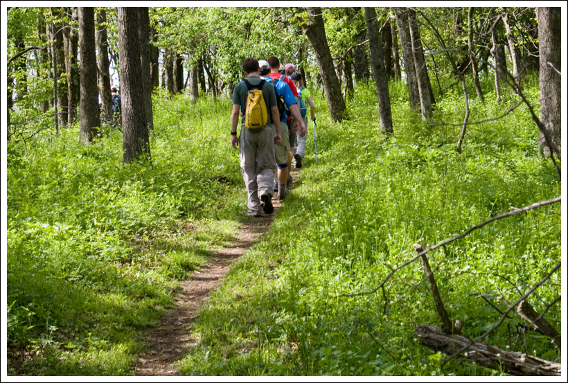
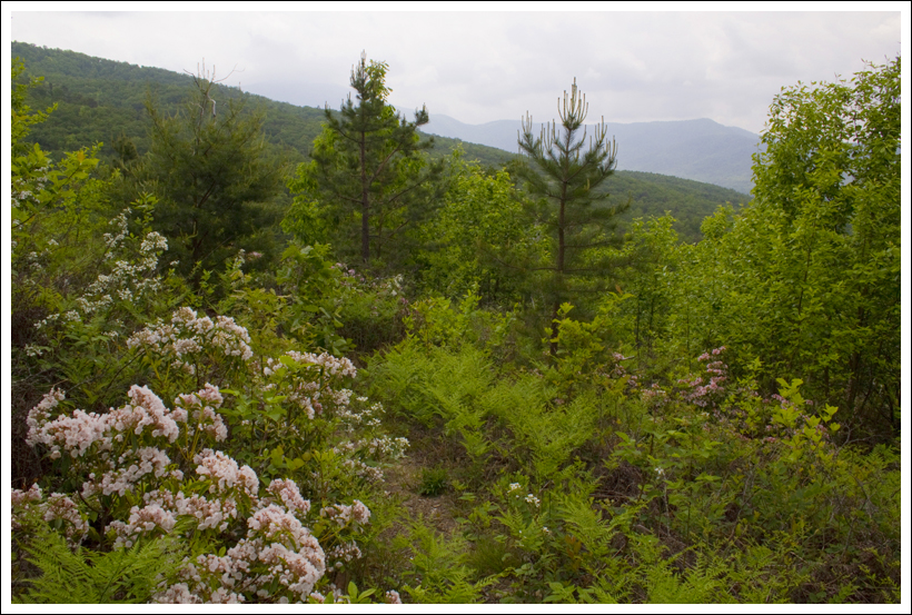
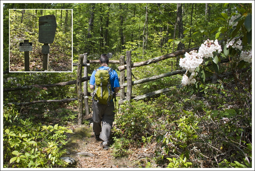
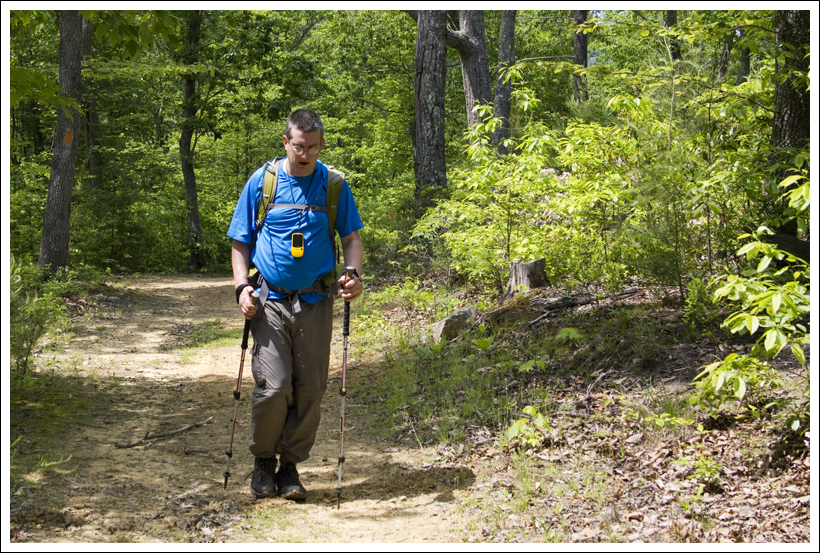
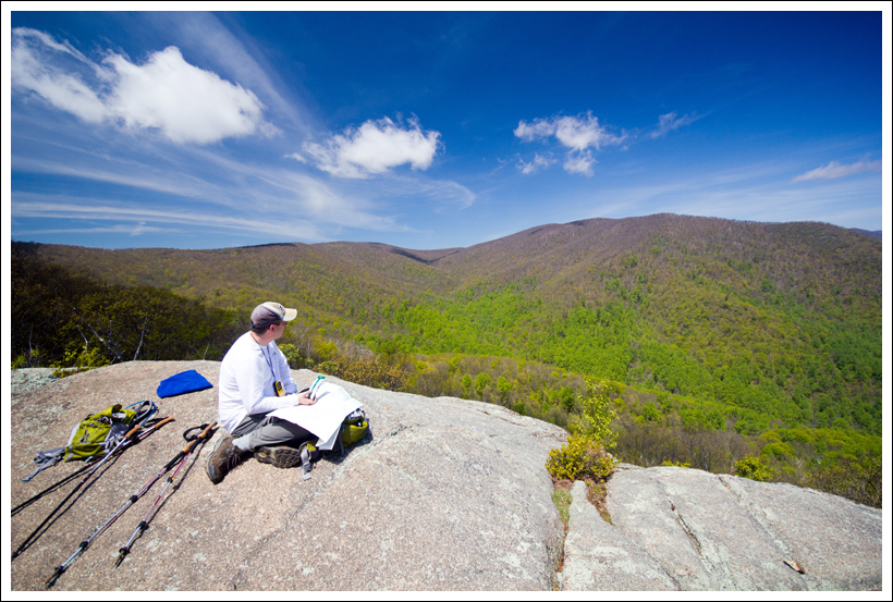
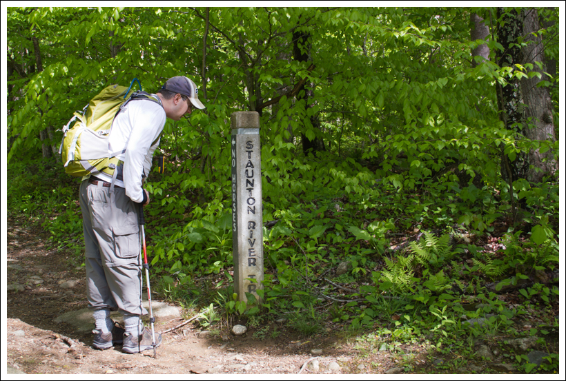
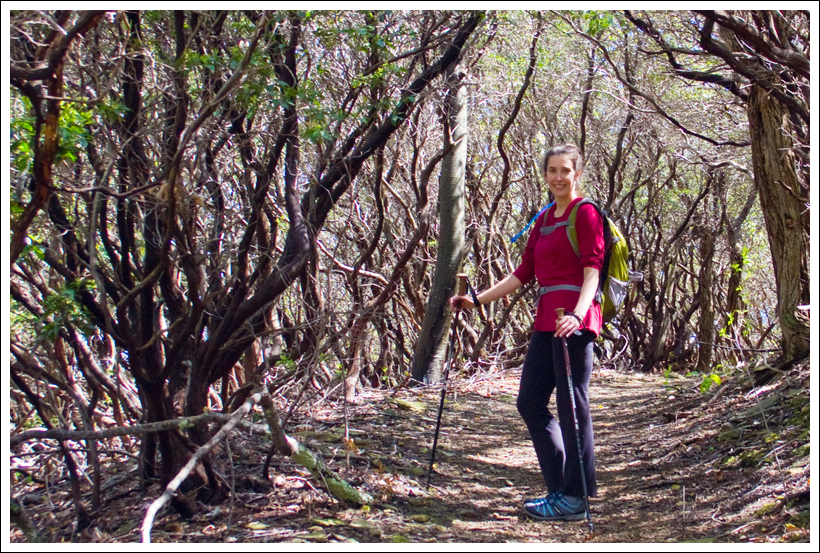
The High Knob Fire Tower provides panoramic views into both Virginia and West Virginia. Below: Adam looks at trail information in the kiosk in the parking area; The Shenandoah Mountain Trail is often lined with dense mountain laurel; Trail junction – one way climbs up the fire tower, another continues on the Shenandoah Mountain trail, and the third descends to the Brandywine Recreation area.
First of all, I’m not sure whether to call this a Virginia hike or a West Virginia hike. While you park in West Virginia, the Shenandoah Mountain trail meanders right along the states’ borderline. I believe the High Knob fire tower sits on the Virginia side of the line, but views look out into both states. This is definitely a hike worth doing!
Our first attempt to hike High Knob was on April 7th, 2013. That hike started off well enough, but within the first half mile the trail turned into a veritable luge track. It was a smooth, slick, well-polished chute of ice! Had we planned more extensively, we would have packed Yaktrax, but after a week of warm, sunny weather, we simply didn’t expect to see so much ice! We watched a couple on the trail ahead of us falling down, over and over and over again. The girl literally fell ten times in about two minutes. She couldn’t make a single step of forward progress. Adam and I looked at each other and said ‘Nah… we’ll come back and do this some other time.”
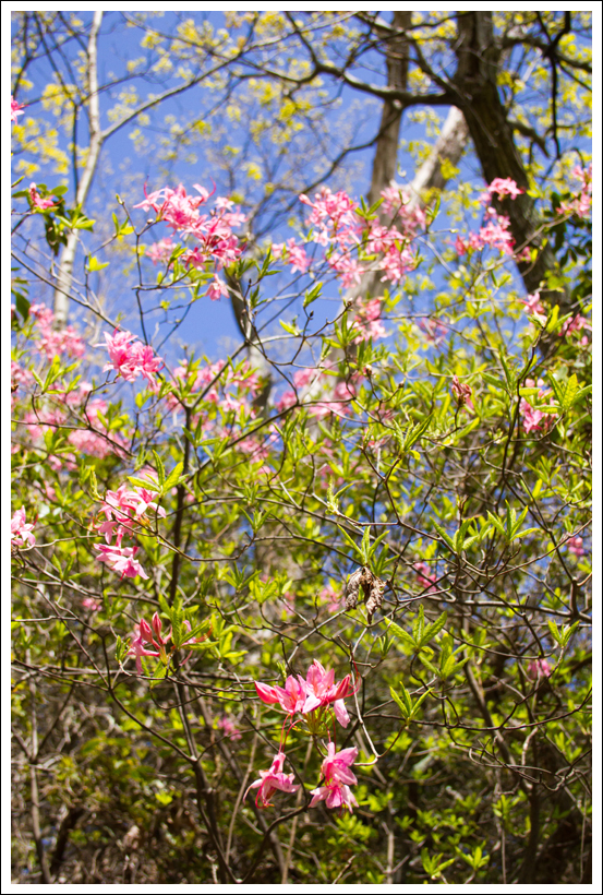
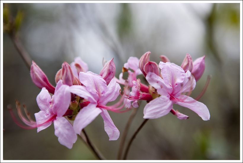
Fetterbush is blooming! Below: Trails are marked with a double yellow blaze; Occasionally views opened up through the trees.
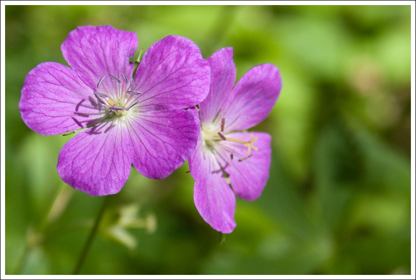
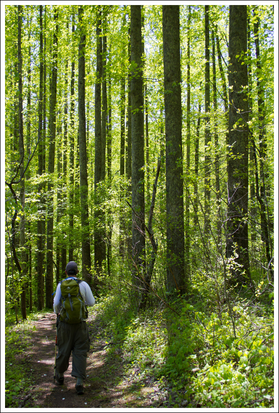
The very next weekend, we headed back and ended up with much better hiking conditions. The trail to High Knob is pretty basic – it follows the Shenandoah Mountain trail until a junction with a spur trail that leads directly to the tower. The way is well marked with double yellow blazes and has nice footing. The path passes through dense stands of mountain laurel. From the number of flower buds on the laurel, it looks like it’s going to be a spectacular bloom this year!
About .8 mile into the hike, we reached the junction – hikers can turn uphill and take the spur trail to the fire tower, continue on the Shenandoah Mountain trail, or head downhill to the Brandywine Recreation Area. We decided to visit the fire tower first, mainly because it was early and we wanted to avoid Sunday afternoon hiking crowds. The spur to the High Knob tower is probably the steepest climbing of the entire hike. While the section is steep, it’s also fairly short. At the top of the climb, the trail comes out on a fire road that leads pretty much the rest of the way up to the tower. We were surprised how heavily the area was marked with ‘Private Land – No Trespassing’ warnings. There were dozens of signs and trees spray-painted red. I’m guessing the public land abuts private land that is heavily used for hunting, and the landowners are trying to protect hikers/bikers from getting shot. Regardless, the area is very thoroughly and clearly marked – you shall not pass!
As we arrived at the fire tower, we passed a foursome of hikers headed down. We had the tower all to ourselves for about twenty minutes. We enjoyed the views in every direction! I especially enjoyed looking down on Switzer Lake. It brought back lots of memories from my days as a college student at JMU. On warm spring days, my sorority would load up in cars and make the drive to Switzer for an afternoon of swimming (and perhaps some beverage consumption). Swimming is no longer allowed in the lake (maybe it was never allowed?), as it’s used as a public water source. Even though you can’t swim in the lake, it’s still a great place for scenery and birding. A friend of mine has even seen bald eagles at Switzer!
Adam makes the steep climb between the Shenandoah Mountain trail and the fire road that leads to the High Knob Fire Tower. Below: Private land in the area is very thoroughly and clearly marked. A bird’s eye view of the private land from the fire tower. I think those might be hunting camps/blinds.
After enjoying the views and eating a snack, we climbed back down to the junction. It was around 11:15 a.m. and we were torn – do we continue to explore Shenandoah Mountain or do we call it a day and get a nice lunch in Harrisonburg? We didn’t have a coin, so Adam flipped his pass-case – card side up, we hike on – card side down, we go home. The pass-case dictated a longer hike.
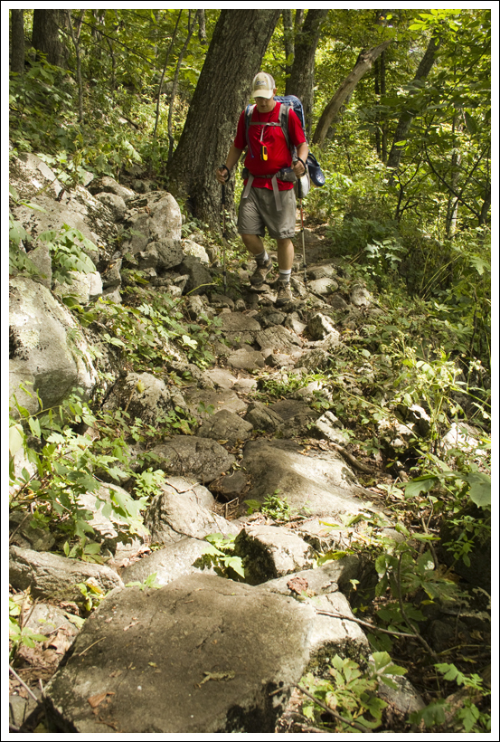
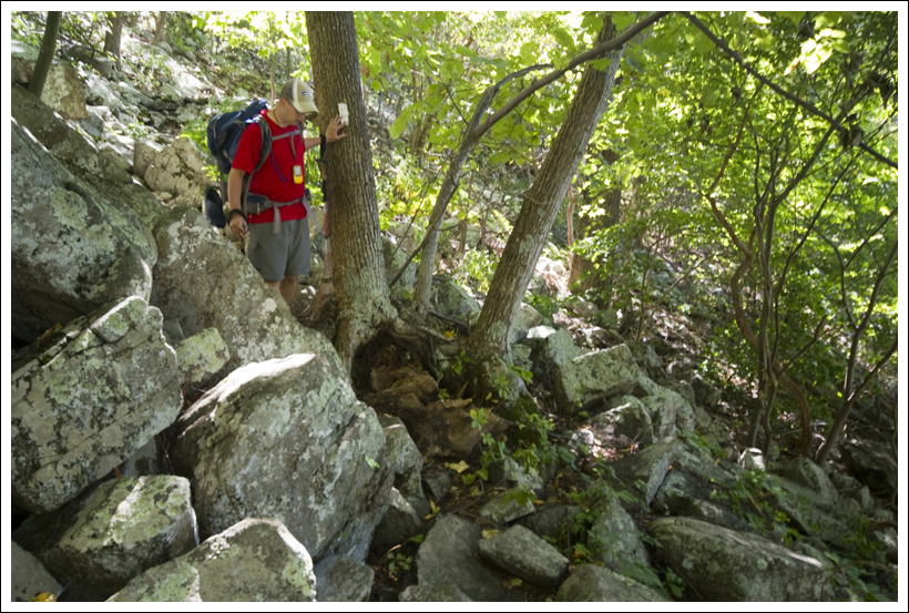
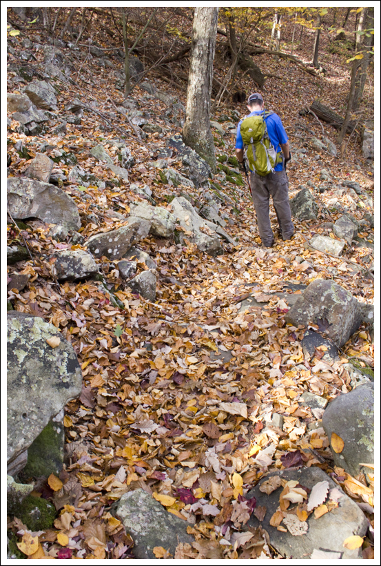
We followed the Shenandoah Mountain trail over to Hoover Ridge. If I were to make a recommendation, I would tell people to skip this part of the hike. In the end, the views weren’t worth the climb. The trail is narrow – too narrow to ever be level. You hike most of the way with your uphill foot much higher than your downhill foot. It’s also covered with tons of loose stone and slate that shifts under every step. On the early spring day we hiked, the trail was still under a foot of dry leaves. The footing was treacherous. I was so glad for my trekking poles.
There are several steep climbs on the way to Hoover Ridge. Once the trail meets the ridge walking along is pretty pleasant. The terrain is open and grassy and there are obstructed views of mountains in every direction. You can even catch a glimpse of the fire tower off in the distance. On Hoover Ridge, we decided we’d hiked enough for the day and turned back to make our return to the parking area.
Since it was mostly downhill, the walk went quickly. We were back at our car by 1:15 and back in Harrisonburg for lunch a half hour later. It was a great day to be out hiking after such a cold and snowy March! We’ll definitely make a return hike to the fire tower… Hoover Ridge, not so much.
Adam Says…
As Christine mentioned, this was a second attempt at High Knob, since it was too ice-covered to walk up previously. We hate having to bail on a hike, but we want to feel that it is something we can accomplish and still enjoy. We’re glad that we waited for the snow to melt to enjoy this trek up to the fire tower. Our friends at Hiking Upward covered this hike from the Brandywine Recreation Area, but this is a shorter way to accomplish the hike up to the top. If you’ve purchased National Geographic’s Staunton/Shenandoah Mountain Trails Illustrated Map 791, you will see High Knob Fire Tower on the cover.
Views from the fire tower look out in every direction. Below: You can see Switzer Lake from the fire tower; More views; Adam enjoys a snack (Trader Joe’s Monkey Business trail mix) on the fire tower.
From the parking lot on 33, we took off down the stone steps. The parking lot and surrounding areas has a lot of trash thrown around, so if you can, bring a trashbag and help to carry out some of the litter. Once you join the Shenandoah Mountain trail at the bottom of the stone steps, the trail will be clear of litter. The trail starts off fairly level and then gradually ascends up the mountain. In .85 miles, you do reach a large junction that includes the spur trail to the High Knob Tower. Take this spur trail up the mountain. At about 1.1 miles, you will reach a forest road. Take a right on the road (taking a left will put you on private land) and continue to follow the signs to the High Knob Tower. Continue your ascent up the fire road until you reach the High Knob Tower at 1.4 miles.
We retraced our steps until we returned back to the junction of the Shenandoah Mountain Trail and High Knob Trail at 2.0 miles. At this point, we took a left to get back on the Shenandoah Mountain trail. This part of the trail was not well-maintained and we were constantly worried about turning our ankles on loose rocks that were hidden underneath the leaf-covered trail, crossing over tree blowdowns, or catching ourselves from falling off the narrow trail with our trekking poles. The trail in most places along this section felt more like a narrow animal path than an actual trail. The rough trail and the steepness in some sections really made us question how far we were going and if it was worth it. We made our way a little further uphill but we weren’t fighting rough terrain the whole way. We reached the crest of Hoover Ridge at 3.5 miles, which gave us some obstructed views of the areas to the south. After taking a few minutes to explore the open fields and campsites on Hoover Ridge, we made our way back.
One of the few tricky spots on the Shenandoah Mountain trail. The cairn indicates that hikers should take the lower trail, and not follow the trail partially blocked by branches. Below: Sign on Hoover Ridge
As Christine stated, I would agree that I probably wouldn’t add on Hoover Ridge to this hike unless you would like to get some extra hiking accomplished. However, this was also the area that we saw the best wildlife. We saw a deer in the distance take off when we were spotted and a grouse jumped out of some brush when we were walking by that caused us both to nearly jump out of our hiking shoes.
The hike up to High Knob is one that I think would be a perfect hike if your goal was to see great views from all directions. On a clear day, you should be able to see several layers of mountain ranges. I’m sure the foliage scenery in the fall is breathtaking. I can see this being a great hike to take some out-of-town visitors to show the splendor of the rolling Virginia and West Virginia mountains.
Trail Notes
Distance – About 5.75 miles
Elevation Change – 1168 ft
Difficulty – 3.5. This is a moderate hike in terms of elevation change. On the day we hiked, the Shenandoah Mountain trail was still covered with deep, slick leaves and quite a few fallen trees. These challenges increased the difficulty level somewhat.
Trail Conditions – 3. The trail to High Knob is in great shape, but the Shenandoah Mountain trail is narrow and rocky.
Views – 5. Views from the High Knob fire tower are spectacular and panoramic. Views from Hoover Ridge are obstructed.
Waterfalls/streams – 0. There are no streams on this hike.
Wildlife – 2. We saw a deer and a grouse, but I think hunters scare off most wildlife in this area.
Ease to Navigate –3. Trails are generally well-marked/blazed, but there are a few mildly confusing spots on the walk to Hoover Ridge. There were a few worn paths in the woods that looked like old trails or animal paths. As long as you still to the most well-worn pathway, you should be fine. Take care to observe posted signs for private land.
Solitude –2. You will likely see quite a few people on the walk to the fire tower, but few along the way to Hoover Ridge.
Directions to trailhead:
Head on 33 West from Harrisonburg, VA. In about 10 miles, you will enter into George Washington National Forest. In 12 more miles, you will reach the parking lot on the left right after you see the “Welcome to West Virginia” sign. A large kiosk with a map of the area gives some general information and you will see a break in the girders that will lead down to start your hike.
* MapMyHike is not necessarily accurate, as the GPS signal fades in and out – but it still provides some fun and interesting information.
This 5.8 mile out-and-back hike along the Blackbird Knob trail gives you a sampling of many of the beauties offered by the Dolly Sods Wilderness area. While you don’t get any high-up, panoramic vistas, you still get amazing views across the high plateau.
Dolly Sods is spectacular in the Fall. Below: Trailhead along the forest road; Off to a chilly start! The morning was breezy and in the 30s; Dolly Sods is famous for turning crimson in the fall.
Adam Says…
Fall is here! At least it has arrived in Dolly Sods. For those that haven’t been to visit out this wilderness area on the eastern side of West Virginia, you will be impressed by the terrain. I have read many times that the terrain and climate up here is more similar to Canada than the surrounding areas of West Virginia and Virginia. You will quickly notice that the vegetation is just different here – you’ll see spruce and conifers in one direction and blueberry bushes and boggy areas in another.
After hyper-extending my knee on our last backpacking trip, I was thinking another trip the next weekend would be a little too much of a re-injury risk. But, we wanted to do something fun since it was Christine’s birthday, so I suggested that we spend the weekend in Canaan Valley to enjoy some of the early fall color. The last weekend of September is usually the Leaf Peepers Festival in Canaan Valley, but we were hoping for some fall color the week before and we weren’t disappointed.
Wookie rests on a warm rock in the sun. Below: Christine checks out a trail marker. There are very few signs and no blazes in Dolly Sods; Fall color is starting to pop; Walking past a colorful maple.
I feel it is necessary to put out a few warnings about Dolly Sods. First, the trails are not well-marked. They typically will have some trails marked at intersections, but there are no blazes on the trails and if you wander off on something that looks like a trail, you could become lost. Second, the road to get to and through Dolly Sods is very rough. You won’t see many Toyota Prius-like cars on this road. We approached it from Canaan Valley and there are some scary roads to drive up. You are on a road barely able to fit two cars with a large drop-off on the side. We were almost hit by some locals barreling down a blind curve on the road and they only missed hitting us by a couple of inches. The road through Dolly Sods is also extremely rough and filled with potholes. We’ve gotten a flat tire up here before and hope to never experience that again. You’ll need to drive very slowly and steer away from any potholes or sharp rocks sticking up. Four-wheel drive is not completely necessary, but it may give you ease of mind. Third, good maps are hard to find. As I mentioned on our Rohrbaugh Plains post, probably the best maps are available online. If you are looking for printed maps, we’ve bought quadrant maps of the Dolly Sods area from the nearby Seneca Rocks Discovery Center, but I’ve found some flaws with these marking trails properly (the quad for Blackbird Knob showed the knob on the wrong side of the trail). The online maps area also from 2006 and the quads are mostly from 1995.
For the hike to Blackbird Knob, we parked on the eastern side of the road just north of the Red Creek Campground area. You should see the large trailhead sign on the western side of the road just past the campground area. You quickly cross a boardwalk over a boggy area and then you will pass a large open area of pine forest to the right. In .3 miles, you will come to a grey sign that shows the trail goes to the left deeper into the woods. You may not see a trail to the left, but follow the sign and you will begin to see cairns that will lead you back to where the trail is more apparent. At .5 miles, the trail opens up to a larger field with nice views around you. The trail begins to descend at this point, but you will still see some views as you are walking through an open field. At mile 1.1, you reach Alder Run, which requires a small rock-hop to get across. You will then go slightly uphill through the forest again, but it will soon open up to more views. The trail then goes back into the woods and you will arrive at Red Creek at 1.6 miles. You will need to do more substantial rock-hopping to get across, but we didn’t have any trouble. The trail goes steeply uphill at this point. At 1.8 miles, the trail again opens up to spectacular views. You will shortly come across a junction with the Upper Red Creek Trail at 1.9 miles. Stay straight on the trail and you’ll duck back into forest. At 2.1 miles, you’ll reach another junction with the Red Creek Trail, which leads back to the campground. Stay straight again and it will finally open up to spectacular views. You are then making your way along the circumference of Blackbird Knob. Gorgeous fields with ridge views to the left give you many options to take in the sites. There are boulders on the hillside that seem to be placed by nature as auditorium seats to enjoy this area of wilderness. We continued along the trail until about 2.9 miles, when the trail was going to continue back into the woods. We turned back and returned the way we came.
Color everywhere! Below: Fall foliage scenery along the Blackbird Knob Trail. Below: Enjoying the fall color.
Time for a few confessions. We had packed our bags fairly quickly to head out for our hike. I forgot to pack the lunch that we were going to eat on the hike. All that I brought with us was a small bag of nut-heavy trail mix. Christine has a mild nut allergy, so we were a little concerned about food. I remembered that I left some Combos in the car, so we were saved with that. But, I need to learn to be a little better prepared when going into this area. As I mentioned before, maps of Dolly Sods are hard to find and trails are not marked very well. We were surprised how many people just came out here and were hiking without maps. We ran into a few guys that were unsure of where they were going. I showed them where we were on our map and they said they would just go on ahead and hope they can catch a trail that will eventually loop them back to where they were. Not the smartest strategy.
We really enjoyed our trip to Dolly Sods to explore this area. Since we hadn’t received much fall color yet in Virginia, it felt like we had a private advanced screening of the color that we’ll experience here in a few weeks.
Christine Says…
Dolly Sods is somewhat of a phoenix that has risen from the ashes. Its rugged beauty is actually a mask that belies years of abuse and damage. Until 1930, Dolly Sods was heavily logged. Entire mountainsides were stripped bare of their pristine, old-growth forest. The largest tree ever harvested in West Virginia came from this area – a magnificent white oak – about 1000 years old and nearly as big as a Giant Sequoia. Once the hillsides were barren, woodchips, fallen pine needles and small trees dried in the sun and became perfect fodder for catastrophic fires. Flames consumed more than 24,000 acres, scorching the earth down to bare rock. After the logging industry closed up, the government purchased the land. In the 1940s, Dolly Sods was used as a training range for the military. As recently as 2006, a significant amount of unexploded ordnance was still being found along trails.
Red Creek gets its red color from tannins. Below: Adam and Wookie cross; Fall color and a rocky stream bed; Trail marker in Dolly Sods.
Despite all the damage the land has endured, it is still one of the most breathtaking places in the entire mid-Atlantic. I don’t think it’s hyperbole to say that there is nothing else like it. We were lucky enough to visit this fall on one of those perfect, technicolor, early fall days. The sunshine was sparkling, the sky was crystal clear and deep blue. Already, maples were turning to flame-color and entire hillsides of fern were glowing and golden. While Dolly Sods is rugged as a whole, the Blackbird Knob Trail is gentle and without much change in elevation. Because it was an easy hike, we decided to bring Wookie along. He was so excited to finally be on a hike!
We started out along a clear path through the woods, but at the first trail sign, we became a little confused. The obvious, worn path led in the opposite direction of the directional marker on the trail sign. We sat and pondered for a moment. We consulted a map. We didn’t see any sign at all of a trail leading in the arrow’s direction, so we assumed a prankster had turned the sign. We took the trail a short way uphill before it dead-ended in a thicket of laurels. We backtracked and followed the arrow’s direction. For a short while, we were just walking through the woods, but eventually we spotted the cairn and then finally we were back on worn trail. This is very typical of Dolly Sods!
The first open view came shortly after our brief detour. From a pile of rocks, we could see all across the high plateau. Distant hillsides were already covered with red foliage. The open meadows were covered with crimson berry bushes and tall, tawny grass. We all stopped to enjoy the perfect fall day – I snapped photos and Wookie stretched out on a warm rock. After a brief stop, we continued along. A few minutes later, we passed a pair of backpackers. Then we passed three more. Then we passed five more. Passing backpackers became pretty much the ‘norm’ for the rest of the hike. All in all, I’m sure we saw thirty or more people out for the weekend. Typically, I think of Dolly Sods as being rather remote and isolated. On this particular weekend, it was not the case. People were everywhere!
It was a technicolor day in Dolly Sods. Below: Adam hikes across the open terrain; Fall color all along the hillside; Christine enjoys the fall color.
Throughout the hike, the trail passed in and out of trees and open spaces. We crossed Alder Creek and Red Creek. Both were running, but on the low side. I’ve heard that streams are often uncrossable in Dolly Sods in the spring. It’s hard to imagine that when you see them running so meagerly in the early fall. Red Creek was especially lovely. Tannins give the water a rich, reddish color. I suppose the name ‘Red Creek’ is very well-suited for this body of water!
When we reached the end-point of the hike, we stopped for a snack. As Adam mentioned, he forgot our lunches. So, he ate peanuts and cashews, while I picked all of the remaining M&Ms out of the trail mix. It was enough to tide me over for the walk back to the car. Honestly, it was such an easy hike that it really didn’t require that much energy. It also left me nice and hungry for an early dinner at Hellbender Burritos. For a tiny town, Davis, WV has two very good restaurants (the other is Sirianni’s Pizza Cafe). At Hellbender, I got my favorite Gendarme burrito. It’s basically a steak and cheese in a bowl – medium rare chunks of steak, smothered with grilled onions and peppers and then doused with queso. Yum! And even better (or worse… depends on how I look at it), I discovered Harpoon Pumpkin Cider. I’m a very picky beer person, but I really like most hard cider, and this seasonal pumpkin cider might be the best thing I’ve ever had to drink! Sadly, it’s very, very hard to find in our area. Even the local beverage shop can’t special order it and it’s nowhere to be found in stores.
Wookie Says…
Sometimes the tail says it all. What I mean by that is that on this hike for most of the way, my tail stayed nice and curled. When I get tired, it tends to start drooping like a flag slowly being brought down the pole. But I really enjoyed myself in Dolly Sods Wilderness. This was my first trip out there. Christine and Adam often call me, “Wilderness Wookie”, but this was the first time I have been in true designated wilderness area.
Wookie crosses the stream. Below: Adam and Wookie hike on the return leg of the out-and-back; Adam enjoys fall color; Don’t miss a visit to Bear Rocks when you’re in Dolly Sods.
My highlights of the trip were when first reached the open field around .5 miles. I spread out on a nice rock, sniffed the brisk, fall air and enjoyed the views. I also really enjoyed eating a few cashews from the base of Blackbird Knob. Christine poured a little rock in a natural bowl in the rock and Adam gave me some nuts to help me re-energize for the return trip.
My lowlights of the trip were crossing Red Creek and the initial boardwalk. The boardwalk made me a little uncomfortable since there were spaces where my paws could have slipped through. Crossing Red Creek was a little more troublesome. I really don’t like getting my feet wet. But, I took a wrong step and got my front paws wet. I jumped back away from the water and then made a successful second pass. My tail immediately went down to let Adam and Christine know that I didn’t like getting wet. I don’t mind mud as much and my feet did get quite muddy along the trail. But by the time that we got back to the car, most of the mud had come off.
Going almost six miles is a little taxing for a pug. For some reason, I don’t see a lot of other hiking pugs out there. When we got to the car, I immediately fell asleep and was snoring loudly by the time that we got moving. Of course, when we got back home I had to strut my stuff and tell my brothers, Yoda and Mojo, that I went on a great hike. I’m glad it’s finally getting a little cooler again so I can get back on the trails. Wilderness Wookie is ready to do some more fall hiking!
Difficulty – 1.5. The trail is not that steep at all, so most people should be able to handle it.
Trail Conditions – 3. The trail was in decent condition and was not overly rocky or muddy today. I do think mud could be a problem after larger rainfalls though.
Views – 3. While you don’t get views from a big overlook, the scenery along the way is quite gorgeous. Open fields and views of mountain ridges in the distance give you a lot to see.
Waterfalls/streams – 4. Red Creek gives you a reliable water source and picturesque stream views. There are plenty of backcountry campsites near the stream if you are planning an overnight backpack trip.
Wildlife – 3. While we didn’t see any large wildlife on this trip, the area has plenty of wildlife.
Ease to Navigate –2.5. As we’ve mentioned, trails are not blazed and only some junctions are marked with signage.
Solitude –2. We saw over 30 people on the trail. Most of these were backpacking groups. If you go on a nice weekend from Spring-Fall, expect to see others.
Directions to trailhead: From Seneca Rocks, go North on WV 28 for 12 miles. Take a left on Jordan Run Road. Go one mile up Jordan Run Road and take a left on to Forest Road 19. In 6 miles, Forest Road 19 comes to a T on to Forest Road 75. Take a right, heading north on the gravel Forest Road 75. Drive for five miles until you pass the Red Creek Campground parking on the left. Park on the opposite side of the road where the grey trailhead marker is located.
* MapMyHike is not necessarily accurate, as the GPS signal fades in and out – but it still provides some fun and interesting information.
This 13.2 mile circuit can be done as a day-hike, but we recommend extending the beauty and wildness into an overnight backpacking loop. Take your time, and you’ll be treated to panoramic views, lovely mountain streams, demanding climbs and peaceful campsites.
Christine takes in a a view of The Priest from Three Ridges mountain. Below: Welcome to the Three Ridges Wilderness; Over half of the circuit follows the Appalachian Trail; Nothing beats a campfire in the evening.
We had long been planning a three-day backpacking trip across Mt. Rogers, but as the day of the trip drew closer, we started seeing the term ‘Appalachian soaker’ thrown around in weather forecasts. We’re fine with passing showers and fleeting thunderstorms, but we didn’t want to get pinned down on Mt. Rogers on a wet and stormy night.
Fortunately, the weather in central Virginia was far more favorable, so we ditched our Mt. Rogers plan, and decided to hit another backpacking circuit on our list – Three Ridges. This route, which makes use of the Appalachian Trail and the Mau-Har Trail, is known as one of Virginia’s most rugged hikes. Everything we read about the circuit in advance of our trip emphasized the hike’s strenuous nature. With roughly 6,800 feet of elevation change, you’re almost never walking on flat trail. It’s a constant onslaught of heart-pounding climbs and knee-grinding descents. But along with the challenging terrain, you get spectacular views, beautiful streams and lovely campsites.
We started out early Saturday morning. The first stop was fuel… for ourselves. We had a huge breakfast at The Chuckwagon in Harrisonburg. If you have a chance, stop by and indulge in one of their homemade 4-inch biscuits (Adam’s favorite is ‘The Round-Up’) or a stack of their amazingly fluffy pancakes. (Sadly… Chuckwagon closed in January 2013) With full stomachs, we made our way to Reed’s Gap at mile marker 13.7 on the Blue Ridge Parkway.
When we got to the parking area, the lot was already jam-packed, mostly with heavy-duty construction vehicles left idle for the weekend. Just as we were about to give up and find a parking spot further down the parkway, one car pulled out and left an opening for us!
Adam makes the initial climb up Meadow Mountain. The climbing was occasionally rocky, but never terribly steep.
We started the Map My Hike app on Christine’s phone, hoisted our packs, and headed south along the Appalachian Trail. From the parking area, the trail hugs the edge of a meadow, which was full of blooming yellow ragweed and purple thistle. It was such perfect weather for backpacking – sunny skies, low humidity and a crisp breeze. The trail almost immediately began to climb uphill over Meadow Mountain. The climbing was steady, but never difficult, for about .8 of a mile.
At the top of the ridge, there was a small dry campsite with obstructed views. Department of the Interior boundary markers were all along the ridge. We spotted at least three or four right next to the trail. After walking briefly along level ridge, the trail descended to Maupin Field Shelter. The shelter site had tons of space for tents (many of the tent sites were flat, soft and grassy), a typical AT three-sided hut, a metal bear-hang post and a picnic table. The area also had an informational kiosk with trail notes and wilderness-usage policies. There was also a child’s orthodontic retainer tucked into a Ziploc and pinned to the board. We’re guessing there is now one retainer-less Boy Scout and a less than happy mother!
Christine climbs the stone steps up Bee Mountain.
After Maupin Field Shelter we began climbing again, over Bee Mountain. The climbing was slightly more strenuous, but definitely manageable. In several places, rock steps were set into the trail to make the climbing easier. Along the way, we started playing ‘Categories’. It’s pretty basic – each player designates a category, then players take turns naming items that fit within that category. For example, categories might include Movies Based on Comic Books or Items You Need on a Backpacking Trip. It’s pretty mindless, but it kills time. Whoever successfully names the last item for the given category wins the round. The best category of the day was Complaints Uttered When Hills Are Steep. We won’t share the specifics of our trail talk here, but it was pretty funny to reflect on this topic! Bee Mountain didn’t offer any views and was followed by a short descent before tackling the more serious climb up Three Ridges Mountain.
The climb up Three Ridges consisted of several steep pushes, with nice stops for views all along the way. The first view, Hanging Rock, was very impressive, so we decided to break for lunch and enjoy the amazing vista. As we ate our Panera bagels (Cherry-Vanilla with Justin’s Chocolate Hazelnut Butter for Christine and French Toast with Peanut Butter for Adam), we noticed two dogs fitted with radio collars – doubtlessly bear hunting dogs set loose in the woods for pre-season practice. Both dogs were female; both were emaciated and showed signs of over-breeding. We hate to cast aspersions or generalizations on any group of people, but we are not fans of hunters that use this type of technology to hunt bears. Both of the dogs were pretty persistent about trying to steal our food. The bolder dog, who was heavily perfumed by a skunk encounter, came within inches of snatching Christine’s bagel right out of her hand.
One of the bear hunting dogs we encountered seemed to be enjoying a view of the Priest from the Hanging Rock Overlook. Below: Adam climbing the first uphill section of Three Ridges Mountain; Southbounders (BeeSting, Fats and Happy) contemplate the Priest and their upcoming climb; The view from Hanging Rock.
While we sat at the overlook, we had a chance to chat with three Southbound AT hikers – Happy, Fats and BeeSting. All three had started in Pennsylvania in August and were making their way toward Georgia. Happy was already there when we arrived, so we got to talk with him for a good bit while he waited for his companions to show up. He was from Las Vegas and on his first long-distance hike. He told tales of his shoes breaking down on the Pennsylvania rocks, getting caught in a vicious cold-front driven storm on Bearfence Mountain, and his epic weight loss (40 pounds in less than a month!). He was a nice kid and we enjoyed talking to him and telling him about some of the things he has to look forward along the trail in Virginia – The Priest, Spy Rock, Cove Mountain, McAfee Knob the Grayson Highlands. He told us the friendliest place he’d stopped on the trail was the town of Waynesboro.
After a while, Fats and BeeSting came along. They were a young couple from Montgomery County, Pennsylvania. We didn’t talk to them as much, because we wanted to press on and make our way to camp by mid-afternoon. Happy left a few minutes ahead of us, and we were sure we wouldn’t see him again. Thru-hikers are known for keeping a blistering pace!
Upon leaving the vista, there was quite a bit more uphill climbing before we finally reached the true summit/highpoint of Three Ridges Mountain. At the highpoint, we ran into a group of three women out on the same circuit we were hiking. We chatted briefly about the great weather before leaving them to enjoy their lunch.
Christine enjoys the view on a perfect late-summer day. Below: The actual high point of Three Ridges is in the trees; Adam walking through ferns along the trail.
After the high point, the long, seemingly endless descent to Harper’s Creek began. It wasn’t always super-steep. Sometimes it almost leveled off. As we were walking along, we saw a bear dash off through the brush. We were both glad that the bear hunting dogs hadn’t pestered the bear into a tree. A few steps later, we heard an exuberant voice shouting into the wind – ‘Woooooo!’ ‘Yeaaaaaah’! ‘Echo Echo Echo’ and ‘I’m on TOP of the WORLD’. As the voice drew nearer, we guessed it was Happy having a ‘mountain moment’. Sure enough, he called to us through the trees so we could share the nice view spot he had found a little ways off the trail.
We left the spot before he did, knowing that there would be more views along the way. One unnamed view on the left side of the trail was especially beautiful. We stopped for photos and a pack-less rest. A bit further along, we saw a huge flat, upright rock that looked just like a tombstone. Immediately past that, we noticed a faint trail that climbed up steeply through the woods to a jumble of rock. We guessed correctly that we had found Chimney Rock. It was a great place to sit, and every bit as scenic as the very first overlook on Three Ridges. We enjoyed looking down into the valley, dotted with homes, streams and a large Christmas tree farm. The Priest, one of Virginia’s most beautiful and distinct mountains, loomed impressively across the way.
Adam enjoys one of the many spectacular views from Three Ridges Mountain. This particular stop came at a rocky outcropping known as Chimney Rock. Below: Views, views and more views!
After Chimney Rock, the last real vista was a wide flat shelf of rock overlooking the scene below. After that, the downhill got pretty bad. It was the bone-jarring, steep, type of downhill that makes your knees beg for mercy! We both slipped a couple times on the descent. It was probably all the fallen acorns – if your boot hits them just right, they sort of function like tiny roller-skate wheels. Adam managed to hyperextend his knee on one slip, and hiked in a significant amount of pain the rest of the day. Christine hit a loose flat rock and rode it like a surfboard until she finally landed hard, but unharmed, on her rear end.
Honestly, the uphill on this hike is moderately hard, but the downhill is brutal. Anyone in reasonable condition should be able to handle the physical demands of the ascents along the trail, but if you have bad knees, the descents are nothing short of punishing. We both tried to keep our packs on the light side for this trip. Christine’s pack was 22 pounds and Adam’s was 29… but that was before water. After a dry week, we weren’t sure if Harpers Creek would be flowing, so we both carried quite a bit of extra water – 3.5 liters for Christine and 4 for Adam. We knew there was a chance we wouldn’t need it, but when it comes to water it’s always better to be safe than sorry.
The climb down from the summit of Three Ridges was grueling and rocky! Below: The trail went over many large boulders; It passed thick stands of rhododendron and mountain laurel; We were thrilled when the Harpers Creek shelter site came into view.
After over two miles of switchbacks, dangerous acorns and tricky rocks, the colorful domes of tents came into sight. We had reached Harpers Creek Shelter – our stop for the evening. We found the shelter itself empty, but most of the tent sites adjacent to the shelter had already been claimed by a large group of Boy Scouts from Fluvanna County.
We found a mostly flat and smooth tent site across the creek, about 50 yards south of the shelter. We figured it was a perfect spot – we were close to the shelter and could use it for a ‘kitchen’. Also, the privy was on our side of the stream, but far enough from the tent that it wouldn’t be annoying when people went to use it.
For the most part, Harpers Creek wasn’t flowing. There were several shallow pools in the streambed, which gave us plenty of access to water, but also provided a perfect breeding ground for mosquitoes. Christine immediately noticed bites forming welts on her legs, so she quickly changed out of her shorts and into long pants. She tried to change behind a large boulder, but she’s pretty sure the Boy Scouts saw her in her underpants, but hey… modesty sort of goes out the window in the backcountry.
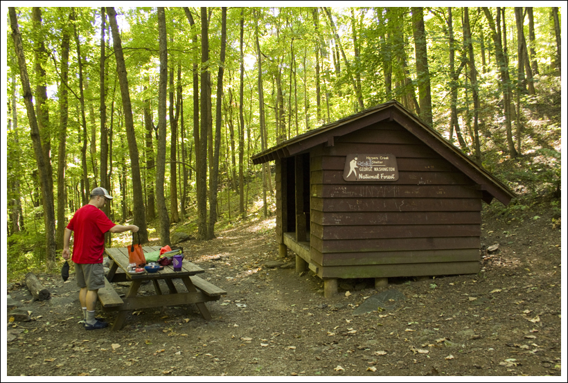
Within twenty minutes, the tent was up, the sleeping pads were inflated, and sleeping bags were in place. We set aside all the food, cooking implements, water filter and bear bags to take over to the picnic table at the shelter. The Harpers Creek shelter was small and kind of dingy. There was no shelter log. Actually, the only thing in the shelter was a sodden pair of ‘tighty-whiteys’.
Adam set about collecting water. We recently picked up a very handy collapsible bucket made by Sea to Summit. It folds down to about the size of a deck of cards and weighs just a few ounces. But, it allows us to collect up to nine liters of water at once. Typically, we pump water through our Katadyn straight into the bucket. Then we cover the bucket with a bandanna and usually have plenty for dinner, breakfast and bottle refills.
While Adam filtered water, Christine worked on collecting wood for a campfire. It was already starting to get chilly, so it was a perfect night for a fire. As is the case at most shelters, good firewood is hard to find. There is always plenty of tinder/kindling, but the larger, long-burning pieces of wood are at a premium. In the backcountry, we only use downed wood that we can break by hand.
Our camp on Harpers Creek. Below: Setting up our ‘kitchen’ at the Harpers Creek shelter; On the menu for dinner; Adam feeds the fire.
Christine made a teepee-style campfire with larger pieces of wood on the outside, and a tinder-packed center. All of the wood collected from the forest floor was cold and damp, so the fire had a hard time catching at first. A little squirt of alcohol-based hand sanitizer took care of that problem, and within a few minutes a small fire had sprung to life.
With the campfire going, water collected and the campsite set, it was time for dinner! We keep saying we’re going to prepare our own fancy homemade backpacking meals, but when the time comes we always seem to find ourselves reaching for Mountain House or Backpacker’s Pantry. It’s just easier, and for the most part, the packaged food is really tasty (notable exception – Natural High’s Banana Cream Pie – worst dessert EVER.) Our menu for the evening included Chili Mac with Beef as the entrée and Cheesecake for dessert. Christine brought several sticks of cheddar cheese to mix into the chili and single-serving plastic bottles of Merlot. It was quite the feast!
After dinner, we put up our bear hang. Oddly, this shelter did not have a metal post like most AT shelters in this part of Virginia. We had to find a tree with a free branch. After the food was secured, we settled into our camp chairs and enjoyed the fire. Some people we’ve met along the trail think the camp chairs are a waste of pack space, but they fold down to about the size of a water bottle and weigh just about a pound. We find them well worth the extra weight for the back-resting comfort they provide. We might not carry them on a long multi-day trip when every bit of pack space counts, but for a weekend trip, we like having creature comforts.
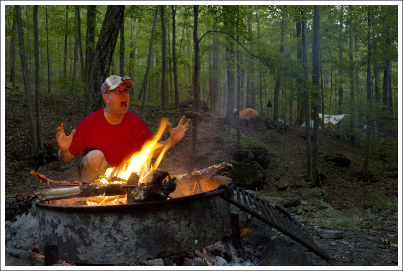
Entertainment unfolds by the campfire. Below: Our tent at night.
As we sat by the fire, we watched a little piece of comedy unfold on the other side of the stream. A couple of the older Scouts had been assigned the task of hanging the group’s food. We watched as they missed getting the rock and rope over the tree branch, dozens and dozens of times. The boys took turns making fun of one another for their off aim. Eventually, they got the rope over a branch. They celebrated with a high-five and a ‘Woot!’. But, the branch snapped off the tree as soon as they tried to hoist the weight of many food bags. Eventually they went for help and settled on a less-than-perfect, but still functional tree. All in all, it took them over an hour to get their food hung.
Our campfire died around 9:00, so we headed back to the tent. Adam read by headlamp and Christine listened to a book on her iPod. For one of the first times ever, we both fell asleep quickly and slept soundly through the night. We were actually awoken by voices and headlamps at what seemed like the middle of the night. Christine rolled over and asked Adam ‘Is it around midnight and these kids are up late or is it morning already?’ It turned out that the Scouts were awake and cooking/packing up at 5:30 a.m. We lazed around in the tent for another hour until the sun came up.
The Scouts actually hiked out around 7:00, just as we were getting breakfast together. Usually, we’re the early risers and the first out of camp! We made maple-brown sugar oatmeal with freeze-dried bananas and coffee and hot chocolate for breakfast. We both ate two packs, knowing that we had a tough day of hiking on the Mau-Har Trail.
After a good night of sleep, Christine is ready to tackle day two! Below: Adam changes out of his Crocs and back into boots; The Appalachian Trail departing Harpers Creek.
After breakfast, we broke down camp. Adam’s hyperextended knee was still pretty sore, so Christine stowed some of his gear in her pack to make his load a little lighter. While she was transferring gear, she noticed that a mouse had chewed through the little mesh compartment on the hipbelt of Adam’s pack! The only thing in the compartment was a set of car keys, so we’re really not sure why it was appealing to a mouse. It reminded Adam of one of his favorite books as a kid – The Mouse and the Motorcycle. He thought this mouse was trying to make a sequel with their car.
We left Harpers Creek around 8:00. On our way out, we passed four or five other groups that had been tenting near the shelter. All told, there were probably somewhere between 25 and 30 people camped along the creek that night. Quite a tent city!
After leaving the shelter site, we followed the Appalachian Trail for almost a mile, largely uphill, to its junction with the Mau-Har Trail. The odd trail name is a combination of Maupin and Harpers – the names of the two shelters the trail runs between. The Mau-Har was designed by a man named Angelo Filippi. One funny review we read of the hike evidently thinks ‘designed’ is too kind a word for the trail. The review states:
“We started from Reeds Gap and heading down the Mau-Har, cussing Angelo Philippe [sic] the whole dang way. I swear he unfolded a map, put it on the ground, pulled out a piece of string, dropped the string onto the map and said “There! That is where the trail should go!” What a jerk!”
The start of the Mau-Har Trail. Below: The Mau-Har trail starts innocently enough; Then it starts to climb more steeply downhill; And then it gets even steeper than it already was!
To be fair, the trail was clearly designed to follow scenic Campbell Creek as closely as possible and following a creek that goes tumbling through a deep gorge is going to require some rugged climbing. The Mau-Har trail descended very steeply to the creek. Adam grimaced in pain from his knee injury on every downhill step. The weight of his pack, combined with the steep trail was almost more than he could bear. This was some of the gnarliest downhill we’ve ever done.
Eventually, we got to the spur trail that leads to a series of small waterfalls. Adam decided to stay put and rest his knee while Christine explored the falls. She took off with the camera, hoping to get a few documentary shots for the blog. A few minutes later, Adam decided to follow. He had heard there was a geocache hidden by the falls (known as “firedogs fishbowl”), but he had forgotten to input coordinates into his GPS. He looked for it, but without coordinates it was pretty close to impossible to find. The waterfalls were all very small due to low water flow. In spring, with snowmelt and heavier rain, the creek is probably spectacular!
Water volume in Campbell Creek was fairly low. Below: The section of the Mau-Har that follows Campbell Creek is very steep; Some sections require you to pull yourself over the rocks; Christine is happy for a more moderate grade.
From the waterfall spur trail to the Maupin Field shelter, the Mau-Har climbs very steeply uphill. At first, the trail is very rocky as it passes through the canyon. You wind your way between and over boulders. Sometimes you have to stow your trekking poles in one hand to pull yourself up over a big step. It reminded us very much of hiking the gorge at Little Devils Stairs. The terrain was very similar. After leaving the canyon, the trail becomes less rocky, but no less steep. A series of sweeping switchbacks carry you relentlessly uphill. Eventually the grade becomes more moderate in the last half mile before you arrive at the Maupin Field shelter.
Near the end of the climb, Adam announced that he was going to stop at the shelter and ‘eat every single bit of anything edible left in his snack bag’. Two packs of oatmeal, bananas and hot chocolate burn off pretty fast when the climbing is tough! He proceeded to eat a Luna Bar, ShotBlox, a bag of cashews and a bunch of mini candy bars. He reined himself in and skipped eating a dry packet of cocoa mix.
At Maupin Field, we read the shelter log. Entries talked about the skunky, food-nabbing bear dogs (someone had named them Bagels and Muffins). A southbounder left a warning to northbounders about 20-30 miles of dry hiking. Someone even left a really nice pair of ladies LaSportiva for someone to claim.
Adam relaxes at the Maupin Field Shelter. Below: One of the stream crossings near Maupin Field Shelter; Adam checks out the shelter log; The Mau-Har’s end point at the shelter.
The last 1.6 miles retraced our route from the morning before. We had a gradual climb up and over Meadow Mountain and then back to our car at Reeds Gap. We drove back toward home along the Blue Ridge Parkway, stopping at Humpback Rocks to wash our hands with soap and running water. Our last stop was the Sonic in Waynesboro for more ‘refueling’. We definitely earned some tater tots and CreamSlushes!
Three Ridges turned out to be a great alternative to our planned Mt. Rogers trip! While the terrain was challenging, we think most people accustomed to backpacking/hiking would be up for the challenge and would enjoy the beautiful and wild scenery offered by this loop.
The one issue we would like to bring up is a discrepancy about the length of this hike. Most sources list the loop at 14.4 miles. Based on our information (maps, GPS, trailer marker posts), here is how we would break down the segment distances on the trail.
0.0 miles – Start from parking lot on Reeds Gap, heading south on the Appalachian Trail and begin your ascent. .8 miles – The trail reaches the first ridge and shortly begins to descend through some switchbacks 1.6 miles – Reach the junction with the Fire Road (which heads to Love Gap). Take a left to stay on the Appalachian Trail and pass a few side trails that lead to campsites at the Maupin Field Shelter. The trail begins to climb again. 2.0 miles – Reach the summit of Bee Mountain 3.7 miles – Reach some great views from Hanging Rock. Continue to climb further up through the woods. 4.2 miles – Reach the summit of Three Ridges 5.8 miles – Great viewpoint of the eastern ridge 5.9 miles – Reach the tombstone and take an immediate right up the path to reach Chimney Rock and the best views on the trail. Rejoin the trail and descend steeply. 7.5 miles – Arrive at Harpers Creek Shelter across the creek and your stay for the night. The next morning, cross back over the creek and continue on the Appalachian Trail. 7.6 miles – Cross Harpers Creek and the trail begins to ascend very steeply. 8.5 miles – Reach the junction with the blue-blazed Mau-Har trail. Turn right and follow the trail that parallels Campbell Creek. 10.0 miles – Reach a sign designating a short yellow-blazed trail to a few waterfalls. The waterfalls are only a few hundred feet off the Mau-Har trail. Retrace your steps and continue on the Mau-Har trail. 11.5 miles – Reach the Maupin Field Shelter. Continue straight past the shelter to rejoin the Appalachian Trail. 11.6 miles – Take a left on the Appalachian Trail to retrace your steps back to your vehicle. 13.2 miles – Return to the Reeds Gap parking lot.
Returning to Reeds Gap. At this point, Adam said he was 90% sure he was going to survive the trip. Below: Christine had a great time!
Trail Notes
Distance – 13.2 miles (Check out the stats from MapMyHike [Day One] [Day Two])*
Elevation Change – About 3900 feet
Difficulty – 5. This hike is no joke. The downhill areas are steepest on the Appalachian Trail coming down from Chimney Rock and the uphill on the Mau-Har trail is equally brutal.
Trail Conditions – 2.5. The trail starts off quite nicely, but once you reach Three Ridges, expect a rocky slide downhill and loose footing uphill for much of the hike. The Mau-Har Trail was pretty overgrown in places.
Views– 5. Absolutely amazing. Chimney Rock and Hanging Rock provide some of the nicest views.
Streams/Waterfalls – 3. You’ll be near a stream most of the second day and there are a few small waterfalls. The water wasn’t flowing too strongly though.
Wildlife –3. We did see a bear. Oh yeah, and the mouse ate through part of Adam’s backpack, so there is some wildlife out there.
Ease to Navigate – 4. The trails were fairly well marked and signs were at the junctions.
Solitude – 2. This is a tough hike, but it is popular for backpackers, trail runners, and day visitors to the shelters.
Directions to trailhead: On Blue Ridge Parkway, south of Humpback Rocks. Park at mile marker 13.7 at Reeds Gap in the large lot. Head south on the Appalachian Trail, marked with white blazes on a tree near the left of the open field.
This 8.3 mile hike takes you past two nice overlooks and gorgeous Emerald Pond. After some significant climbing early in the hike, most of the terrain is pleasant and easy ridge walking.
Christine enjoys the view along the Bird Knob hike. Below: The trail started out from the defunct Massanutten Visitors Center; Some damage from the derecho wind storm was still evident along the trail; After an early climb, this hike had lots of easy ridge walking.
Christine Says…
I don’t think anyone will argue – this has been a tough summer weather-wise. It’s been hotter, stormier, muggier and buggier than usual. There really haven’t been many weekend days that I would label ‘nice hiking weather.’ So when we finally had a day that was a little less hot and humid, we took full advantage of the opportunity and headed out to hike Bird Knob.
Bird Knob, like our last hike – Little Devils Stairs – had been on our list for quite a while. The trailhead is relatively close to our home. The distance and terrain – slightly over 8 miles and around 1600 feet of climbing – fall right in the ‘perfect hike’ range by our standards. Still, it wasn’t a hike I was looking forward to with a lot of excitement and anticipation. This was mostly due to middling/negative reviews I saw on another hiking site we read. People complained that the views weren’t that great, that part of the hike looked like a construction site, that it was too easy and that it was nothing but circling under the trees. None of the descriptions made the hike sound particularly appealing. Even the photos posted from the hike led me to believe that it would be rather mundane and lacking in scenery.
But – wow… when we got out there, we were pleasantly surprised by how nice the hike turned out to be. The trail started off from the defunct Massanutten Visitors Center on Route 211. We descended from the parking lot along the Wildflower Trail until its junction with the Massanutten Ridge Trail. The first mile and a half had some steep climbing. We hiked past and over lots of large and interesting rock formations. Once we gained the ridge, we were treated to two magnificent views overlooking the valley to the west. We had both of the rocky outcroppings all to ourselves, so we spent some time goofing off and taking silly photos. I’m definitely a more graceful leaper. 🙂 Also, after several years of struggling with chronic vertigo, my balance seems to finally be returning to normal.
Adam and Christine enjoyed goofing off and taking silly photos on the rocky outcropping. Below: Upon leaving the parking area, the hike begins on the Wildflower Trail; The first junction with the Massanutten Ridge Trail is nondescript; Adam checks out a large boulder along the trail; Christine climbed the boulder; More steep uphill hiking; Then the steep uphill also became rocky.
After leaving the second overlook, the trail followed the ridge for a while. Eventually we came to a large clearing in the woods. The trail wasn’t clearly marked, so we explored the open meadow and eventually found that the trail continued on the near-side, downhill corner. Shortly after passing the clearing, the trail branched in a couple directions. Right at one of the junctions, we saw an odd animal that looked like a goat leap across the trail and dive into the woods. I’m 100% certain it wasn’t a deer, raccoon, possum or bobcat – so we’re sticking with goat. We never saw it again.
We followed the first spur trail off to the left so we could explore the swimming hold that we had read about. It was a very pretty spot – much more inviting than we had been led to believe. Mountain ponds are a rarity in Virginia, so visiting this one was a nice treat. There was a heavily used campsite next to the water, and despite a sign imploring people to ‘Enjoy the Place, Leave No Trace’, we found the area was thoroughly trashed. We had brought an empty garbage bag in one of our packs, so we spent some time picking up cans, bottles, food packaging and cigarette boxes. People can be so gross!
After leaving the pond, we had a short climb to where the trail met up with a forest service road. We turned left and hiked uphill along the road for about half a mile. At a hairpin turn near the top of the mountain, a locked gate marked the spot where we got off the road, and hopped back onto the Massanutten Ridge Trail. This was the only spot along the hike that we saw other people – one truck passed us on the road and we caught a glimpse of two trail runners headed downhill. Honestly, this trail offered more solitude than I’ve seen anywhere lately. It was really nice.
Christine enjoys the pond view. Below: Adam consults the map at the junction of the Bird Knob and Massanutten Ridge Trails; Adam descends through the clearing; Picking up garbage at the campsite near the pond.
Once we were back on the ridge trail, the hiking was flat again. The trail made a nice, wide corridor through the woods. We passed some HUGE anthills. When I stopped to take a closer look, I found myself bitten by ants almost immediately. We also saw lots of ripening blueberries. I enjoyed popping handfuls into my mouth as we walked along. I love wild blueberries!
Eventually, we came back to the junction of the Bird Knob and the Massanutten Ridge trails. At this point, we retraced our steps past the overlooks. We stopped to take in the view once again. A lot of the haze had cleared off and the view was much better.
After the overlooks, we climbed steeply downhill back to the junction with the Wildflower Trail and then back to our car. It was a fantastic hike, and definitely worth doing!
Adam Says…
About a year ago, I had someone that I was talking to during a workday that recommended that we needed to hike up Bird Knob. They said the views were absolutely gorgeous and it wasn’t too long of a hike. Since that point, I’ve been wanting to try this hike out.
We made this hike into a longer stretch to include the swimming hole, but you can make this about a 3 mile out-and-back if you just wanted to get to the views. The hike starts off from the Massanutten Visitor Center parking lot. The Visitor Center has been closed for a while, but access to the hiking trails is still open. There is also plenty of parking. Towards the entrance of the parking lot, you will take the white-blazed Wildflower Trail that leads downhill. You will come across several interpretive signs along the way that describe some of the flora around you. Continue down .3 miles until you reach a bench.
Uphill to the right, the orange-blazed Massanutten Ridge Trail climbs steeply. Take the Massanutten Ridge Trail and begin your climb. This is the steepest part of the entire hike and you will be climbing without many switchbacks and gaining about 800 feet through a large field of boulders until you reach the top of the ridge at 1.0 miles. Continue along the ridge climbing slightly. At 1.5 miles, you reach the first viewpoint and the second viewpoint is only about 200 feet away from the first one. On a clear day, you should be able to see magnificent views of the valley for miles to the west from both points. Take some time to enjoy the views and then continue your hike along the ridge.
The trail continues to be relatively flat as you are continuing along the ridgeline, but then begins to descend slightly. At 2.3 miles, you will reach an intersection with a sign for the Bird Knob Trail. Take the white-blazed Bird Knob Trail to the right. You will pass a few unmarked trails along the way, but continue on the main trail as it slowly descends. At mile 4.2, the trail reaches an open field. Take a left, heading downhill, when you come to the field. You will join an old fire road that will continue to descend. When the road begins to ascend, you will see a branch of the fire road head off to the left. Take this fire road just .1 mile which dead-ends as you reach the large swimming hole. After hanging out at the swimming hole or taking a dip if you dare, rejoin the fire road and continue up.
In about 350 feet you reach a gate, leading you to a gravel forest service road at 4.7 miles. This is also marked as orange-blazed as it is part of the Massanutten Ridge Trail. Take a left here and head up the steep road. At 5.1 miles, you will see another gate, but the road continues to the right sharply. Go through this gate to stay on the orange-blazed Massanutten Ridge Trail. At 5.5 miles you reach another intersection, taking a right to stay on the orange-blazed trail and continue to ascend. At 6 miles, you reach the junction again with the Bird Knob Trail. This time, take a right to retrace your steps and you should reach your car at 8.3 miles.
The hike involved about a half mile of walking along a forest service road. Below: After you pass the locked gate, you’re back on the Massanutten Ridge Trail through the woods; Giant ant hills.
For most people, they will do this as a 3.2 mile out-and-back to the nice views. On a beautiful, clear day you may spot some people enjoying the views at the top. The rest of the hike, we saw very few people. The Massanutten Ridge Trail is very popular with long-distance trail runners and we did see a pair of guys running by when we were near the swimming hole. I have a co-worker that does some of those insane 100 mile trail runs with some friends and I know this is a popular spot for them. I’m sure this ridge trail is great for covering long distances and there are plenty of views along the entire ridge trail. There are a few of these ultra-marathons that are held here each year, most famously the Massanutten Mountain Trails 100 run.
The view was clearer on the return leg of the hike. Below: The other viewpoint; It was a great hike!
Christine and I enjoyed jumping around for the cameras at the vistas. We did some jumping mid-air photos, yoga poses, and I even tried my hand at the old Karate Kid crane technique. After making one of the pictures my facebook profile picture, one of my friends said it reminded them of the old Toyota commercials (Oh, what a feeling!). While the photos do look a little scary, we were about 8 feet from the edge. Please watch over any younger children as there is a sharp drop.
This hike was a pleasant surprise. I didn’t know the views would be so remarkable after reading reviews, but I know we will plan to make a return trip here sometime in the future.
Difficulty – 3. The initial climb is steep and challenging, but most of the hike is easy ridge walking.
Trail Conditions – 3.5. The trail is in good condition. There were some overgrown parts, but it was obvious people had been out working recently to clear blowdowns and trim back brush.
Views– 4.5. The two views early in the hike are beautiful!
Streams/Waterfalls –2.5. No streams or waterfalls, but we’ll give this a better score because of the pretty pond.
Wildlife – 3. We saw plenty of deer, a goat (?) and bear scat.
Ease to Navigate – 2. Trails are not consistently blazed and marked. Some areas have lots of blazes and are easy to follow. Other spots you may have to guess, or better yet… consult a map!
Solitude – 5. We only saw a couple people on the forest service road. We didn’t see another soul on the trail. Our car was alone in the parking lot both before and after the hike.
Directions to trailhead: The trailhead starts at the Massanutten Visitor Center. This is located on US-211, 5 miles east of New Market and west of the town of Luray and the intersection with 340-S. Park in the gravel lot. The Wildflower Trail is marked by a sign near the entrance to the parking lot.
* MapMyHike is not necessarily accurate, as the GPS signal fades in and out – but it still provides some fun and interesting information.
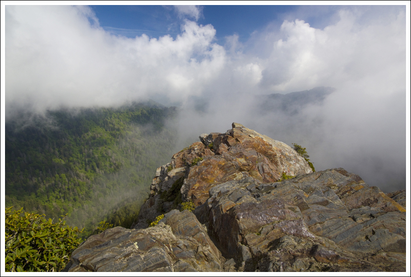
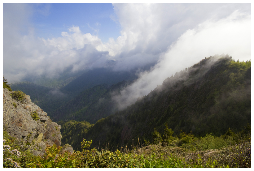
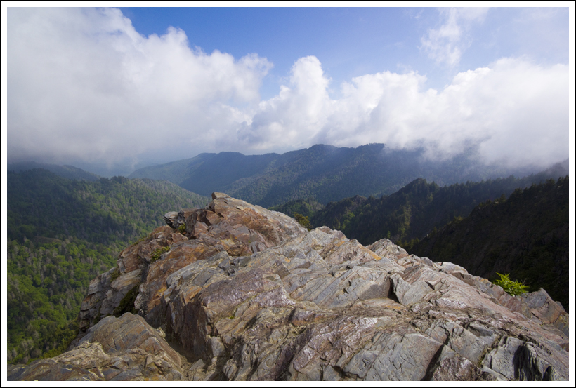
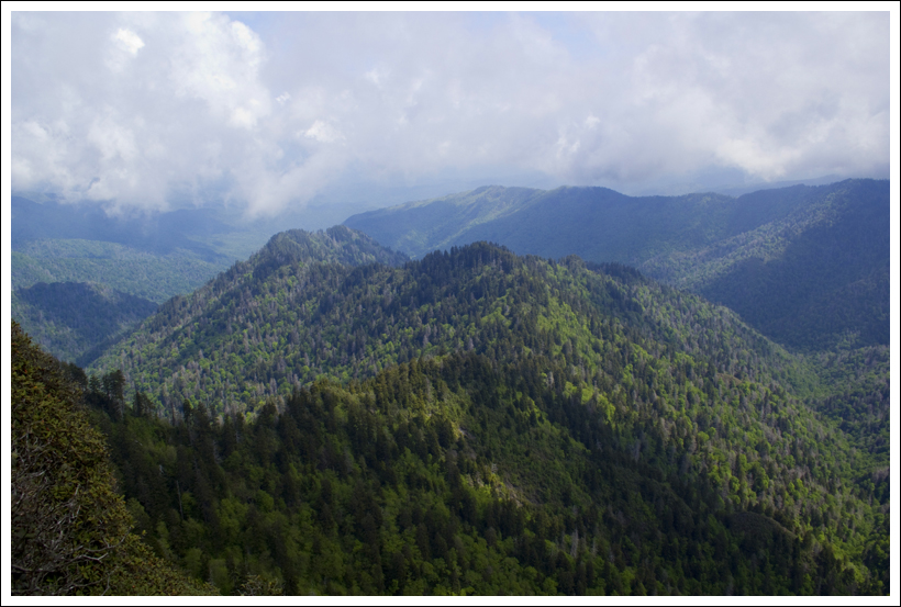
This 9.5 mile hike, mostly along the Appalachian Trail, starts out from Newfound Gap. The route offers several places to take in magnificent vistas of the Smoky Mountains.
Adam enjoys the view from Charlies Bunion. Below: The trail starts out from Newfound Gap. The area has the Rockefeller Memorial (pictured), plenty of parking and restrooms; Christine at the start of the hike; The forests in the Smokies are so dense and green.
Christine Says…
We knew this hike was one of the most popular in the Smokies, so we got off to an early start – breakfast at the hotel, in the car by 7:15 and on the trail around 8:00. We were one of the first cars in the Newfound Gap parking lot, which is always very busy.
We headed north along the Appalachian Trail. Immediately, we began to marvel at how different the Smokies are from Shenandoah. I’ll admit, I sort of expected this park to be similar to Shenandoah – kind of like an older sister – bigger and taller, but still similar in looks and personality. But, the trail was strikingly different – more evergreens, wetter, mossier, greener, more rugged – I might even say ‘more alive’.
I’d heard and read plenty about the extensive biodiversity of the Smokies before, but wasn’t really prepared by how awestruck the park would make me feel. This park has dramatically more plant and animal species than almost any other place on earth. During the last ice age, plants and animals were pushed into the Southern Appalachians as glaciers advanced. When the glaciers retreated, species were left behind – almost stranded in the Smokies.
The trail climbed gradually uphill over the first couple miles, climbing over rocks and roots and mud. Little rivulets of water were running down the mountainside all over the place and filling the woods with the sound of dripping and trickling. Every now and then, we got a view of mountains in the distance. Everything was still partly cloaked with fog and clouds, but it was evident that the sun was making a full effort to burn through.
Christine makes her way up the trail. Below: One of the first nice views came at the junction of the AT and the Sweat Heifer Creek trail; Trail junctions were well-marked; There were plenty of wildflowers along the trail. We even spotted a few fading trillium, but they were all pretty tattered and not photo-worthy.
At the junction of the AT and the Sweat Heifer Creek Trail (isn’t that a funny name?), we diverted a short distance off the AT to take in the view. Almost immediately after turning onto Sweat Heifer, there is a bench and a marvelous open view of the mountains. After a few minutes, we proceeded along the trail which had become more level as it followed a ridgeline. We saw a couple trillium still in bloom – one bright purple and one white, but most were far past their peak.
Eventually we reached the junction with the Boulevard trail. This is the spot where you can take a detour to another viewpoint – the Jumpoff. We decided to press on toward Charlies Bunion, in hopes of having the spot to ourselves a while before the crowds materialized. About .3 of a mile past the junction, we reached the Icewater Shelter. It was still full of weekend backpackers, some making breakfast and some still in their sleeping bags. We didn’t want to disturb them, so after a brief hello, we moved on. Shortly after leaving the shelter, we stepped over Icewater Spring, which is the water source for this area. The piped spring seemed to be running nicely.
The trail climbed steeply downward over slick, wet trail. The forest around us was extremely dense evergreen. It was quite beautiful and different! As we made our way along, thick, cottony fog started to roll in. We passed one hiker marching south – tripod in hand and a disgusted look on his face. I can only gather that he went to Charlies Bunion for the view and saw nothing. The next hiker we encountered pretty much confirmed the sky conditions. We asked how the view looked and he said ‘No view – unless you like fog, but it looks pretty cool blowing up the sides of the mountains.’
I felt a little disappointed about the prospect of missing out on the view, but we stayed optimistic and hoped that the fog would burn off within the next fifteen minutes. When we first spotted Charlies Bunion from a distance, the fog was swirling around and covering the rocky outcropping almost completely. But, by the time we reached the bunion, conditions were clearly improving.
What a spectacular place! The mountains are so craggy and ragged and sharp around the bunion. The rocks were covered with sand myrtle and a few rhododendron were about to bloom. The fog was whipping by, rolling up the sides of the mountains in giant waves. Every now and then, a thin spot would give us a glimpse of distant mountains and not even a hint of civilization. We sat on the rocks, enjoying the solitude. We were absolutely thrilled to enjoy this special place without the company of other park visitors. As the minutes passed, the view became more and more clear. It was everything I imagined the Smokies would be!
Christine checks out the view from the Bunion. Below: Adam walks through the cool, dense evergreen forest as we cover the last mile toward Charlies Bunion; Some sections of trail were covered with this smooth, slate-like rock; Many high, rocky places in the Smokies (including Charlies Bunion) are covered with sand myrtle.
Shortly before we were ready to head back, another couple from Michigan joined us at the rock. We chatted a while and took photos for one another. We decided to head on out and let them enjoy a bit of solitude, too.
On the hike back, we planned on eating lunch at the Icewater Shelter, but found it still loaded with people – and not very friendly ones at that. So we pressed on, with plans to eat lunch at our next stop – a viewpoint called ‘The Jumpoff.’
The side trip to the Jumpoff required about an extra ¾ mile of hiking along the Boulevard Trail and a small side spur trail. The climb up to this view was our toughest climbing of the day. It was steep and very slippery and root-covered. Once we got to the view, it was quite evident why the spot garnered the name ‘jump off’. It has an extremely precipitous drop from the edge! We ate lunch on the rocks and enjoyed the view.
On the hike back down to the junction, we passed a huge hiking party and were thankful that we had once again dodged sharing a nice viewpoint with crowds.
The rest of the hike back down went quickly and was mostly downhill. We saw dozens and dozens of backpackers and dayhikers making their way up the trail. When we got back to the parking lot, it was full of people taking in the view from Newfound Gap. Most of them will probably never set foot on the trail, and maybe with so many people already out there… that’s just fine!
Adam Says…
This was a great first hike in the Smokies for us. We had driven up to Newfound Gap the previous day and saw a ton of cars. We knew it would be a great idea to start off on this trail as early as possible. The view from Newfound Gap is absolutely gorgeous, but you’re in for a treat if you continue on to Charlies Bunion and The Jumpoff.
When you park in the large lot, you will see a terraced memorial for Laura Spelman Rockefeller, the wife of John D. Rockefeller. It is amazing the impact that Rockefeller family’s philanthropy has had on our national parks. In addition to the Great Smoky Mountain National Park, the Rockefeller family’s donations have given land and money to help establish Acadia, Grand Teton, Yosemite, and Shenandoah national parks.
The origin of the rock outcropping being called Charlies Bunion is amusing. A mountain guide named Charlie Conner had a large bunion on his foot and Horace Kephart named it in honor of him and his foot affliction stating “That sticks out like Charlie’s bunion”. Horace Kephart was one of the people that helped get the Great Smoky National Park established and plotted the Appalachian Trail path through the Smokies.
This rock outcropping was created through a combination of logging, fire, and flooding. This area was heavily logged in the early 20th century, leaving behind lots of dried debris. A large forest fire came through this area known as The Sawteeth in 1925, destroying much of the vegetation and sterilizing the soil. A torrential cloudburst in 1929 washed away the soil and left this as a rocky outcropping.
A view through the ‘smoke’ at Charlies Bunion. Below: The quickly changing clouds and fog opened up new views depending on how the wind blew; The Icewater Shelter.
For trail directions, the hike started with an uphill climb just right of the memorial (there is also a small bathroom to the right of the trail) on the white-blazed Appalachian Trail. At 1.7 miles, you will reach the junction with the Sweat Heifer Creek Trail. Continue straight on the AT. At 2.7 miles, you will reach another junction with the Boulevard Trail to the left. You will use this trail to get to The Jumpoff, but we continued straight on the AT. At mile 3.0, we reached the Icewater Spring cabin, which serves as an overnight cabin for any backpackers. On the trail shortly after the shelter, you will see a pipe that serves as a water source if you need water, but you should treat any water before drinking. The trail then begins to go downhill steeply at this point as you make your way to Charlies Bunion. You will reach Charlies Bunion at mile 4.4. After visiting the Bunion, go back the way that you came. At mile 6.1, you will reach the junction with the Boulevard Trail again. Take a right on this trail and after a very short distance, you will see a wooden sign that points up to The Jumpoff. This trail was definitely the most strenuous of the entire hike. The trail is about .4 miles to reach the end at 6.5 miles. Take a minute to enjoy the view and then head back down the way you came to rejoin the Boulevard Trail and take a right at the junction to rejoin the Appalachian Trail. You should reach the parking lot at 9.5 miles.
The Appalachian Trail is relatively smooth up to the junction with the Boulevard Trail, but gets rougher, rockier and more slippery as you descend down to Charlies Bunion. The trail up The Jumpoff is the toughest climbing of the day – quite steep and treacherous, so it will take a while to reach the viewpoint.
The view from the Jumpoff was pretty impressive! Below: To reach the Jumpoff, follow a short spur from the Boulevard Trail; Adam gets ready to eat lunch with a view; By the time we passed back by early spots on the trail, the view had cleared up significantly.
When Christine and I were hiking up past the junction with the Sweat Heifer Creek Trail, the strangest thing happened. We both felt that we had a drumming noise inside our heads that was beating rapidly for a few seconds. I said to Christine, “That was weird” and she asked what I felt. It turns out that she had the same sensation happen at the exact same spot. I’m not sure if it was an adjustment to the altitude, a pulse increase, or an alien scanning us, but it was quite odd.
The highlight of this hike is definitely the views. From the Bunion, you can see steep, mountain peaks all around. We were so glad that we stayed around a while to be able to watch the “smoke” rise up and blow over the Smokies. We really felt like we were up in the clouds as the wind blew the fog around quickly. We stayed around at this viewpoint for longer than we normally stay because it was so entertaining to get different glimpses of the mountains. The Jumpoff trail gives you similar views, but you can also see Charlies Bunyon from afar. The Jumpoff did seem a lot more treacherous. The soil is eroding off this viewpoint and you just think if you take a wrong step you could plummet. When we were leaving the area, a large group of older adults were on their way to The Jumpoff. There is not a lot of room at the viewpoint, which made us both wonder how they were going to be able to take the views in. We found someone’s driver’s license at the top of this point and we were just hoping that he has survived. We took it to mail it off to him, but we did check the news to see if anyone was missing.
Trail Notes
Distance – 9.5 miles if you go to The Jumpoff, 8.2 miles if you just do Charlies Bunion
Elevation Change – about 1600 feet for the complete hike
Difficulty – 3. There are several moderate climbs on this hike. The only truly steep climbing is the short spur trail to The Jumpoff
Trail Conditions – 3. The trail is in good condition, but you can expect to hike over lots of mud, loose rocks and roots. It’s just the way the Smokies are made.
Views– 5. Spectacular!
Streams/Waterfalls – 0. There are no streams or waterfalls along this trail, as it follows mostly ridgeline.
Wildlife – 1. Lots of juncos darting underfoot from low-lying plants. We didn’t see anything else, but the Icewater Shelter was closed during fall 2011 for an aggressive bear, so there is undoubtedly other wildlife in the area.
Ease to Navigate – 4. Trails are well-marked and blazed. There are several turns, but it would be tough to get lost on this trail.
Solitude – 2. This trail is one of the top five most popular hikes in the Smokies. Hike early if you want to avoid crowds.
Directions to trailhead: Take 441 through Great Smoky National Park to reach the large Newfound Gap parking lot. Park in the lot and head towards the memorial. The trail starts off just to the right of the memorial.
This 12.6 mile hike gives you several breathtaking views to the west and a visit to an AT overnight shelter. Instead of doing our normal ‘Adam Says‘ and ‘Christine Says‘ segments, Adam is going to cover the first day and Christine will cover the second.
Christine enjoys the view from one of the Marshalls on the second day of the trip. Below: The Gravel Springs Hut; Views on the first day; Adam relaxes by the campfire.
From the Elkwallow Wayside, follow the short spur trail at the northern parking lot for .1 miles until it reaches the junction with the white-blazed Appalachian Trail. Turn right, heading north and you will almost immediately cross Skyline Drive. The trail begins to climb. At 1.4 miles, the trail crosses Skyline Drive again and continues to climb. At 2.5 miles, the climbing reaches an end as you reach the junction with the Tuscarora Trail. At mile 2.9 and mile 3.2 you will cross Skyline Drive a few more points crossing over Hogback Mountain. At the cross at mile 3.2, you are on a fire road for a very short while (that is used for people bringing in hang gliders) and the AT goes into the woods. At mile 3.4 you reach some nice views and where the hang gliders take off for a descent over the mountains. At mile 3.6, you will reach a junction with a side trail that leads to a spring. The trail begins to descend at this point. At mile 4.3, the trail begins to slightly ascend until you reach a nice viewpoint at mile 4.4. The trail descends again and crosses Skyline Drive again at mile 5.0. At mile 6.0, you reach the side trail which leads .2 miles to the Gravel Springs Hut. For the start of our second day, from the Gravel Springs Hut, rejoin the AT at 6.4 miles. At mile 6.6, the trail crosses Skyline Drive again and continues to ascend. At mile 7.4, you reach a great viewpoint on South Marshall Mountain. The trail continues to climb up and crosses Skyline Drive at mile 8.2. The trail then ascends steeply up North Marshall Mountain and leads to another nice view at 9.4. The trail ascends for another quarter of a mile and then descends steeply down the trail. The trail crosses Skyline Drive again at mile 11.0. The trail ascends over a short bubble of a hill and then reaches the Jenkins Gap Trail junction at mile 12.5. Take a right at this junction and reach the Jenkins Gap Trail parking lot at mile 12.6.
Day One – Adam Says…
I noticed the weather forecast was saying that we had a 0% chance of rain on Friday and only a 10% chance of rain on Saturday. Since we have opted to cancel a few backpacking trips recently due to rain, we felt we couldn’t resist these odds and decided to take the day off work to work on this section of the Appalachian Trail. We had bought two annual park passes last year, with one expiring at the end of May. We felt the pressure of getting this hike in since it required two vehicles for the shuttle.
Adam climbs uphill from the Elkwallow Wayside. Below: A nice view of the valley below. For some reason, Christine likes to wear backpacking clothes that don’t match; The Appalachian Trail in Shenandoah often runs within sight (or earshot) of Skyline Drive; The trail crosses and briefly follows fire roads in several spots.
It took us a while to get our act together to make sure we were ready for the trip. We started loading our packs, made sure we had instructions for our dog sitter, and picked up some lunch along the way from Subway. We drove up to drop a car off at the Jenkins Gap parking lot and then made our way back down to the Elkwallow Wayside. We ate our lunch outside and saw a few thru-hikers that we wondered if we would see later that evening. Christine was really cold sitting in the wind outside the wayside. Her legs were covered with goosebumps and she kept pulling her jacket tighter and tighter around her ribs. She told me that she was really worried about the cooler temperatures, and hoped she would warm up once we started hiking.
We finally started off on our hike around 1:30PM. We strapped on our 30 lb. packs on to our backs and started climbing up the hill. While we had been hearing the loud screams of the seventeen-year cicadas near our house, we were pleasantly surprised to hear they were not out in Shenandoah National Park. We stopped at a few points on the uphill climb to take in the views from Hogback Mountain. One nice thing about this hike is that the views were mostly on the uphill climbs, so it gives you a reason to take off your heavy pack and enjoy the scenery. A couple of thru-hikers we had seen at Elkwallow passed us near the hang glider launch. We’re always amazed at how fast they hike. I guess hiking every day has its pay-offs!
The hang-glider launch site offers a beautiful view! Below: Adam hikes uphill again near Hogback Mountain; Wildflowers blooming along the trail; Our tent site at the hut.
We made our way down the mountain at this point. Backpacking uphill seems to be where you feel the weight the most, but going downhill has its own challenges – you feel the weight differently in your legs and have to be extra careful of your footing. We made it to the Gravel Springs Hut around 4:30PM and checked out the nearby area. There weren’t any other hikers there yet, so we were wondering if we were going to have this all to ourselves that night. We scouted out some of the campsites near the shelter. There were five campsites. We started to pitch our tent at the first campsite, but we realized we wouldn’t have enough of room to put up the fly. And with the night forecast to go into the upper 30’s, we definitely wanted the extra layer of insulation on our tent. We ending up moving to the largest of the sites, but this site was more sloped. We pitched our tent so that our feet were on the lowest, downhill part of the slope. We filtered some water and I began to work on cooking dinner while Christine gathered some kindling for a campfire. In most places in Shenandoah National Park, you can’t set fires in the backcountry, but this shelter had a large stone fireplace. We ate a dinner of Backpacker’s Pantry Sweet and Sour Chicken (which was delicious and definitely something we would have again) and Natural High’s Banana Cream Pie (which we didn’t like the taste or consistency).
One of the highlights of staying at an AT shelter, is the people that you get to meet. Around 5:30, we met our first group of hikers that were planning on staying at the shelter. There was a gentleman named Don from Indiana, who had suffered a knee injury from hiking the AT previously, but was returning for a hike through Shenandoah to Harper’s Ferry to test his knee on an extended trip. He was accompanied by two brothers from Florida. The older brother, Adam had decided to introduce backpacking to his younger brother (who wasn’t enjoying it as much). The original plan was to hike the AT through SNP and return back. However, they had recently decided they would stop at Front Royal and then find a way back to Waynesboro that didn’t involve hiking. Next, two women came along and set up tents at two more of the campsites. They were out on a two night trip and had parked a car nearby so they could slackpack most of the trail. Shortly afterwards, Standing Bear arrived. Standing Bear was a thru-hiker that had started his trip from Georgia around the end of February. He told us a lot that night about how he has been attracting a lot of recent trail magic, from margaritas at a campsite to meals and lodging along the way. He told everyone that he was very good at ‘Yogi-ing‘. We then had another thru-hiker join us named Mountain Goat. When you looked at Mountain Goat’s legs, he just looked like a tough beast and he was working on trying to do over 25 miles a day to finish the trail quickly. As dusk approached, the last group of thru-hikers joined us – Rat Bucket and Sketch. They had purchased a couple of bottles of wine and were making their 6-mile trip from Elkwallow to the hut drinking wine instead of water. They were of course a little happier than most of the hikers when they arrived at the cabin. We hung out for a while, sitting around the campfire and talking about what areas the hikers had enjoyed the most (Grayson Highlands was the unanimous vote) along the way and food (which seems to be a constant discussion with thru-hikers).
Christine works on getting a fire going. She still hates her lime green Crocs. Below: Adam filters water from the spring at the shelter; Everyone congregates and cooks dinner at the picnic table in front of the shelter; Relaxing by the campfire after dinner. Everyone is usually in bed by 9:00 or so.
Around 9:00, we headed back to our tent. I continued to read my book that I have been only reading while backpacking – a book of John Muir’s writings and Christine listened to her iPod. We fell asleep to the sound of nearby owls. The slope really affected my sleeping as my fitted sheet for my air mattress kept coming off and I would wake up in fetal position at the bottom of the tent and would have to fight back up to the top.
Day Two – Christine Says…
I woke up as soon as the birds started chirping and the first hints of light filtered through the trees. It was cold, so I pulled my sleeping bag tighter around me and cinched its hood around my head. I had slept really well despite the fact I had repeatedly slid downhill to the bottom of the tent. I heard others nearby starting to stir as well – tent zippers sliding, the privy door slamming and the whoosh of camp stoves firing up. I didn’t want to leave the warmth of the tent, but I did. There’s always so much that needs done to break down camp before eating breakfast.
The table got really crowded at breakfast time, so we cooked on the little stone bench on the side of the shelter. Below: Adam checks out the trail sign showing hike options in the vicinity of Gravel Springs; Adam tucks his pants into his socks to avoid ticks; Christine and Adam on South Marshall Mountain.
Adam and I are usually pretty efficient and can have our whole campsite broken down and backpacks repacked within about half an hour. The first step is always to shove our sleeping bags back into their stuff sacks. Then we repack our sheets, crunch down our pillows and let the air out of the sleeping pads. Once the bedding is stowed away, we pack up the tent and any clothing that was left strewn about the site. Yes… we really carry all this stuff! As you might have guess, we are not lightweight backpackers. We carry a lot of creature comforts and luxury items (pillows, sheets, chairs, books, card games, etc). When we go on longer trips, we’re really going to have to reevaluate our gear and make some sacrifices. 🙂
When we walked down to breakfast, our backpacks were pretty much fully loaded and ready to go for the day. The only things left to pack were our food, dishes, stove and water filter – and we always keep those items near the top of our packs. When we got down to the hut, almost everyone was already up and working on breakfast. We got our two bags (trash and food/other stuff that has a scent) down from the bear hang and joined the rest of the group at the picnic table. Breakfast was coffee and instant apple cinnamon oatmeal. You see a lot of oatmeal and granola at backpacker breakfasts. Clif bars and bagels are pretty popular too. Although, this particular morning, one pair of hikers even had a container of fresh berries!
Adam and I were the first to leave the hut. We climbed up the short, but steep, access trail back to the AT and headed north. The early part of the morning’s hike took us past several gorgeous views from the Marshalls. We spent time at each of them, taking photos and enjoying the cool, crystal-clear morning. While we were at the first view, Rat Bucket caught up with us. We took a photo of him and he returned the favor for us before heading quickly down the trail. Once again, I marveled at the speed and distance covered by thru-hikers. Most of these folks are covering 20-28 miles a day through Shenandoah National Park.
Christine on North Marshall Mountain. Below: Views from both Marshalls were excellent; You can see Skyline Drive off in the distance; Christine scrambling around on the cliffside; Another excellent view; Adam takes in the scenery from a high perch; Checking out mileage on the trail marker.
At the next view, Mountain Goat caught up and passed us. He only briefly stopped to check out the vista. I guess when you hike big miles, you don’t have time to meander and pause at every pretty spot along the trail. While we were stopped at this spot, we had a quick snack of PowerBar Energy Blasts. They’re basically caffeinated gummy candy, but the website makes them sound like they magically give you Lance Armstrong-like endurance and help your muscles recover. Maybe they don’t do all that, but they sure do taste good! And they have sugar and caffeine – both of which seem to help me hike stronger.
At the third viewpoint, Standing Bear passed us, but we ended up leapfrogging him a little further down the trail and didn’t see him again. Nor did we see any of the other folks from the hut. All but two people staying at Gravel Springs had been northbound, so I suppose they just stayed at camp a bit later.
The trail was so beautiful and lush and green! Even when there wasn’t a view to enjoy, the hike itself was so lovely. The climbs were never too hard and the descents were never too steep. We crossed Skyline Drive several times. We saw lots of dayhikers… two of them were even dressed in their ‘Sunday Best’ clothing. They were walking south along the trail, not in the vicinity of any views or special attractions. Neither of them looked in the least bit happy and both of them looked hot and uncomfortable. I see people like that and wonder if this hike was a spontaneous decision. I wonder if they know where they’re going, or if they just set out on a trail thinking ‘Hmmm… if I walk on a trail, eventually I’ll see something!’
We saw a lot of dayhikers as we approached Jenkins Gap. Below: An old foundation along the trail; The only bear we saw on this trip came in the form of Adam in a mask at the Skyland gift shop.
We made it back to our car at Jenkins Gap around 10:30 or so. We had plans to meet my parents at Skyland for a Mother’s Day lunch at noon, so I brushed my hair and changed into my less-dirty clothes. We had plenty of time to kill, so we stopped by the Elkwallow wayside for more snacks and drinks. When we got to Skyland, it wasn’t even 11:30, so we relaxed in the lobby until they arrived. We had a nice lunch together and then headed home. It was a fun trip, and I can’t believe we only have several more miles of Appalachian Trail to hike in Shenandoah!
Trail Notes
Distance – 12.6 miles
Elevation Change – 1900 feet.
Difficulty – 3. Despite the two big climbs of elevation, we didn’t feel that it was overly difficult.
Trail Conditions – 4. The trail was in great condition and was well-maintained. There were only a few rocky areas that you had to worry about footing.
Views– 4.5. We were impressed with the views along this section. The best views were from South Marshall Mountain, but there were probably 4-5 areas to take in the expansive views.
Streams/Waterfalls – 0. There were no streams or rivers nearby, but there was a reliable water source at Gravel Springs Hut.
Wildlife – 3. Someone had written in the hut trail journal they had seen a few bears on the way down to the hut that day. We did see a deer and the woods were filled with pileated woodpeckers, owls, and other birds.
Ease to Navigate – 4. There are some side trails, but just consult the cement posts to keep following the Appalachian Trail.
Solitude – 3. We ran into most of the people around the Jenkins Gap to North Marshall mountain. I would imagine this would be fairly popular since it is closer to the northern end of Shenandoah National Park.
Directions to trailhead: Park one vehicle at the Jenkins Gap lot at mile 12 on Skyline Drive. Then travel down south to mile 24 at Elkwallow Gap Wayside. The spur trail to the Appalachian Trail starts from the northern parking lot.
This 8.1 mile hike passes an impressive boulder field then climbs along the Gunter Ridge trail for some nice (but obstructed) views.
Adam scrambles around the Marbleyard. Below: The hike begins on the Belfast Trail; Entrance to the National Forest is marked by a placard. The two stone pillars mark an old Boy Scout camp that used to be located in this area. You can still see the footprint of the swimming pool and a few building foundations along the Belfast Trail. The camp was named after Chief Powhatan; Catawba Rhododendron were in bloom everywhere!
Christine Says…
We keep a list of hikes we want to do stuck with a magnet to the side of our refrigerator. The Devil’s Marbleyard hike had been on that list for nearly three years. It kept getting delayed for closer hikes or hikes with better views or taller waterfalls. We finally decided it was time to knock it off the list.
We got up early Sunday morning, grabbed donuts, bagels and coffee en route and made our way down the Blue Ridge Parkway. We got to the trailhead parking area around 10:00 and thankfully found only a couple other cars there. Evidently, cars that overflow the official parking lot are frequently towed. So, if you hike this trail, make sure your car is in the lot or that all four wheels are off the road and not on private property.
The beginning of the trail takes you over Belfast Creek. Below: The bridge over the creek; Adam crossing a small stream early in the hike; All the recent rainy weather made conditions ideal for snails.
After crossing a small bridge over a stream, the trail passes through an old stone gateway that used to mark entry to a Boy Scout camp called ‘Camp Powhatan’. You immediately come to a National Forest/Wilderness placard. At this point, you’re only a little over a mile from the Devil’s Marbleyard. (The sign says one mile, but our GPS and most trail guides seem to say it’s about 1.4 miles to reach the Marbleyard). The trail meanders through the woods, crossing shallow spots on the creek a couple times.
I really enjoyed seeing the blooming azaleas, Catawba rhododendron and mountain laurel. The laurel bloomed so early this year! What I did not enjoy were the locusts! The Blue Ridge Brood of the seventeen-year cicada is currently emerging in our area, and they were everywhere along the Belfast Creek trail. They were screaming overhead in the trees — I likened the sound to the one made by a failing belt tensioner on our SUV a few years ago. It’s a squeal mixed with an undertone of hiss. Not only are the locusts noisy – they’re CREEPY! Sometimes they fly into you. They have red eyes. And worst of all, they leave yellowish-clear, crunchy, empty husks everywhere when they molt. I will be very glad when locust season is over and I can have seventeen years of peace again!
So much stuff was blooming along the trail. Below: Christine checks out the large boulders that make up the Devil’s Marbleyard; Adam climbs back down the Marbleyard to rejoin the trail; A creepy locust husk.
As we came upon the Marbleyard, we crossed paths with the hikers from the two other cars we had seen in the lot. The first was a nice guy from Virginia Beach who was at the tail end of a week-long hiking vacation along the Blue Ridge Parkway. We enjoyed chatting with him and sharing information and tips about favorite hikes. The second was a pair of local kids who warned us of muddy/slippery conditions on the trail ahead. Adam had a little incident there, but I’ll let him share that tale in his portion of the post.
Before proceeding up the trail, we took some time to explore the Marbleyard. Basically, it looks like an immense stone mountain exploded and collapsed into thousands of boulders of every shape and size. If you want to climb to the top of the Marbleyard, you have to do so by scrambling up the rocks. It looks like the trail alongside the Marbleyard reaches the top, but in reality the trail turns slightly away from the boulder field and climbs upward to the Gunter Ridge trail. I imagine most hikers visit the Marbleyard and then head back to their car, making this a short 2.8 out and back. We considered doing this, but since we had already driven so far, we decided to do the full 8.3 mile loop.
After playing on the rocks for a while, we headed along… climbing uphill for a while until we reached the junction of the Belfast trail and the Gunter Ridge trail. At this spot there is a spacious (but dry) campsite.
Christine climbs the steep trail that runs alongside the Marbleyard. Below: The junction of the Belfast and Gunter Ridge trails; Adam spotted a black widow spider along the trail; Christine walks past an especially pretty stand of mountain laurel.
The Gunter Ridge trail was easy walking, but was quite overgrown. Because of the heat and humidity, I had decided to hike in shorts and a t-shirt, so I started to worry about ticks climbing onto my legs from the tall grass. Adam, on the other hand, hiked in long pants tucked into his socks. I’m getting ahead of myself, but guess who came home with six ticks crawling on his clothes – and guess who came home with none crawling on her. I always joke that my husband is a real ‘tick magnet’.
The trail along this section really opens up and provides some nice, but slightly obstructed, views. A forest fire that swept through this area about a decade ago is still very evident. There are no tall trees and charred stumps can be seen peeking up through the brushy vegetation in many places.
After walking along the ridge for a while, you come to a seemingly endless series of switchbacks climbing down the mountain. Eventually you reach a wooden horse gate, and cross out of designated wilderness into standard National Forest. Almost immediately after passing through the gate, you will encounter a stream. We stopped here for lunch. I had been wanting to eat for almost an hour, but this was the first place that really had an opening to sit and eat since the campsite at the junction of the Gunter Ridge and Belfast trails.
A hazy mountain view from the Gunter Ridge Trail. Below: Damage from a forest fire about ten years ago is still very evident; A view of mountains and clouds along the trail.
After lunch, we still had a couple miles of walking along the Glenmont Horse trail. It was easy hiking, but also really boring. It’s the part of the hike where you know you’ve seen all the cool stuff, but you still have several miles of walking along a featureless road/path. It reminded me a lot of all the fire road/paved road walking at the end of the Old Rag hike.
All in all, the hike to Devil’s Marbleyard made for a pleasant day. But, if I were to recommend the hike to others, I’d suggest just hiking to the Marbleyard as an out-and-back. If the rhododendron, laurel and azaleas hadn’t been blooming, I don’t think there was much to see on the rest of the loop.
Adam Says…
It has been about 20 years since I last hiked the Devil’s Marbleyard trail. Those that know me personally or have read this blog for a while know I grew up in Lynchburg. Some of the hikes that are most popular with people around there are Sharp Top, Flat Top, and Devil’s Marbleyard. The first two have great views and are close to Peaks of Otter, a popular picnic area. The last time I did this hike I was with with a group of friends from home. I remember the boulder field seemed so impressive. While there are similar slopes of rock along Furnace Mountain and Hawksbill summit (among others), these boulders are much larger. My friends and I climbed up the boulders from the bottom of the field. One of my friends almost stepped on a rattlesnake that was sunning itself on the rocks. I’m sure a number of rattlesnakes make their home in the cracks between the rocks, so be careful. The climb up to the top takes longer than you would expect and requires a lot of energy to navigate the scramble. Since we planned on hiking a long loop, we opted to just climb around a while on the bottom.
Beautiful mountain laurel along the ridge hike. Below: Stopping to enjoy the mountain laurel; Passing out of the designated wilderness area; Lunch by the stream.
With every interesting geological feature, there seems to be a legend that has been passed down over the years and Devil’s Marbleyard is no different. In the local tale, this area was occupied by Native Americans and the land was supposedly very green and lush. There was a large stone altar at the top of this hill that was used for worship on full-moon nights. A white couple met the Native Americans and they were thought to be spirits since they looked so different than the local tribes. The couple said they were not spirits but they worshiped a higher power. They converted the Native Americans to Christianity. However, the next year brought about a great drought and the Native Americans felt the new God and the missionaries were to be held responsible. They burned the couple alive on the altar. As the flames reached high into the sky, a storm formed. Lightning struck down upon the altar and exploded the rock over the mountainside.
Christine and I talked about this legend on the hike. I guess there can be a few different morals to the story depending on your perspective. From the perspective of the white missionaries, it may be best to not spread your religion to others if you want to stay alive. From the perspective of the Native Americans, it may be to either believe your own gods or keep faith in your new God. It is an interesting thing to think about on this hike, even if there may not be much truth to the origin of the boulder slope.
Walking along the Glenmont Horse Trail gets tedious.
To complete the full loop hike, begin in the parking lot and cross the bridge and take the blue-blazed Belfast Trail. At .2 miles, the trail splits. Bear right to stay on the blue-blazed trail. The trail is a rocky, uphill climb that leads to the Devil’s Marbleyard boulder field at 1.4 miles. Continue up the trail which follows parallel to the right of the boulders up a steep section (which can also be very slippery if there has been recent rain – as I found out with a hard fall onto slick rock). After you near the summit of the boulder field, the steepness of the trail lessens. At 2.5 miles, you reach a junction with the Gunter Ridge Trail and a small campsite. The Gunter Ridge Trail heads off to the left heading down the mountain slightly, but you are mostly following along a ridge line. Eventually, this trail begins to open up to some obstructed but nice views on the ridge. The trail then descends quickly through a series of switchbacks. At 5.8 miles, you will exit the James River Face Wilderness boundary through a gate and cross Little Hellgate Creek. At the 6.0 mile mark, you will reach the orange-blazed Glenwood Horse Trail, a large fire road. Follow this to the left and make your way along this trail that does go slightly uphill until reaching the junction with the Belfast Trail at 7.9 miles. Take a right on the Belfast Trail to reach the parking lot at 8.1 miles.
If you are interested in geocaching, there is one geocache that can be found on the scramble up the boulders at the Devil’s Marbleyard – Devils Marble Yard Cache.
Like Christine, I would probably recommend that if you were coming here to see the best features of the trail, I would just do this as a 2.8 mile out-and-back to the Marbleyard and back. The views from the top of the Gunter Ridge Trail are more obstructed and doesn’t seem necessary when there are many other nice view hikes nearby on the Blue Ridge Parkway.
Trail Notes
Distance – 8.1 miles
Elevation Change – 1510 feet
Difficulty – 3. The climb up past the Marbleyard to the Gunter Ridge trail is steep, but once you gain the ridge it’s most level or downhill. The Glenmont horse trail is wide open and slightly uphill.
Trail Conditions – 3. The trail is in decent shape in most places. It was very slick, steep and muddy climbing alongside the Marbleyard. The Gunter Ridge trail was easy to follow, but very overgrown with tall grasses and brush.
Views– 2. There are plenty of obstructed views on the Gunter Ridge Trail, but nothing spectacular.
Streams/Waterfalls – 2.5. The stream running along the Belfast Trail is small but lovely.
Wildlife – 2. We saw a ton of fence lizards but not much else (unless you want to count the seventeen year locusts)
Ease to Navigate – 3. There are a few turns and trails here are not as well marked as trails in the national park, but if you pay attention, finding your way should be easy.
Solitude – 3 You will likely share the Marbleyard with other hikers, but the rest of the loop does not seem heavily traveled.
Directions to trailhead: From the Blue Ridge Parkway at mile 71, you will see a small road (FSR 35) that is on the western side of the road at a curve. Take this road which leads past the Petites Gap AT parking area. At 4.2 miles, you will see the parking area on the right (just after you start seeing more houses on the road). Make sure you either park in the lot or make sure you park completely off the road or your vehicle may be towed.
Bear Church Rock is a 8.5 mile hike that leads to gorgeous, mountain views. The hike passes alongside two rivers, waterfalls, and a PATC cabin. You can also reach this beautiful overlook from Skyline Drive (Bootens Gap).
Adam enjoys the view from Bear Church Rock. Below: The tall, straight trees along the Staunton River trail were very beautiful; Azalea blooming near the top of Jones Mountain; The last push to the rock almost killed Adam.
Adam Says…
Bear Church Rock is a hike that has it all – nice trail alongside a stream, a few small waterfalls, a visit to a PATC cabin, and a great view at the top. The views are completely of mountains with rarely a sign of civilization. I always feel like I am truly getting away when I don’t have to see houses or roads dotted across the landscape. You can easily see Fork Mountain and Doubletop Mountain nearby, but past that ridge, you can also get glimpses of the ridge that makes up Skyline Drive.
The hike starts off on the Graves Mill Trail, which is a flat walk that runs along the Rapidan River. At .5 miles, you reach a junction with the Staunton River Trail. Take a left at the junction to follow the Staunton River Trail, which runs along the Staunton River. Shortly after you join the trail, you will come across a beaver dam on the river and you’ll notice several stumps of trees that have been gnawed by beavers. At 1.1 miles, you will see a small waterfall leading into a small pool off the trail that is worth a stop. At 1.8 miles, you will see on the left side of the trail some piles of stone and on the right you’ll be able to see another small waterfall through the trees. At 2.7 miles, you reach the junction with the Jones Mountain Trail. Take a left on this trail. The trail becomes very steep at this point and will remain so until you reach the top. At 3.1 miles, you reach the junction with the McDaniel Hollow trail. Take a left here to follow the Jones Mountain Trail. At mile 3.4, you reach a junction that leads to the available-to-rent PATC cabin. If you stay relatively straight on the trail, it leads to the PATC Jones Mountain Cabin. We took this trail which starts off flat, but then descends rather steeply. After visiting the cabin, return to reach the junction with the Jones Mountain Trail and head up the steep incline until you reach Bear Church Rock. Continue back the way you came, but your return trip will be shorter if you have already visited the Jones Mountain Cabin. The total trip should be 8.5 miles.
You could also approach this hike from Skyline Drive for a longer hike, following the Laurel Prong Trail to Cat Knob Trail to Jones Mountain Trail. My guess is it would be about a 10 to 12-mile round-trip to approach it from that direction.
Adam pauses to look at distances marked on the Staunton River trail sign. Below: Parking for this hike is at Graves Mill; The lovely Rapidan River; Trillium were still blooming along the trail, but were nearing the end of their peak.
On our way up the Jones Mountain Trail, we ran into a few PATC volunteers that were working on maintaining the trail. Some PATC members volunteer to help maintain the trails that run through Shenandoah National Park, the Appalachian Trail, and other regional trails. One of the workers has been working on improving this trail for the last five years. At the time that we saw them, they were working on building in some water bars through the trail that helps pull the water off the trail to prevent erosion. They were digging drainage ditches, placing some dead black locust tree logs across the trail they had cut, refilling with dirt, and then mounding the dirt in a way that it was unnoticeable to hikers. We learned that the black locust trees were great trail logs because they don’t rot. We thanked them for helping to improve the trails and we plan on getting in touch with them to help them some weekend in the future. We both feel that as much as we enjoy hiking, it would be nice to give back.
This was the first of many small waterfalls we saw along the Staunton River trail. Below: Another waterfall; There were many remnants of stone walls and stone structures in the woods along the trail; Adam stops to consult the map at the junction of the Staunton River and Jones Mountain trails.
At one moment when we were hiking up the Jones Mountain Trail, I decided to take a break from the climb and sat on a log on the side of the trail. As I was relaxing, a piece of the log broke off, causing me to hit myself in the head with one of my trekking poles. I felt like I was in the Subway commercial of fat people breaking things. Embarrassing, but funny.
This was our first time hiking this trail, but Christine and I both think this is one of the best trails in Shenandoah National Park. If you can handle the distance and the steep climb, this should be on your “must” list. For further reading about this area, check out Lost Trails and Forgotten People: The Story of Jones Mountain. I think I would like to pick up a copy and learn more about this area, since it was such an amazing hike.
Christine Says…
Another weekend, another backpacking trip cancelled due to rainy weather – what can I say? When you’re a fair-weather backpacker, lots of spring trips end up delayed. We were pretty glad we postponed again, because the thunderstorms that passed through overnight on Saturday were pretty fierce and torrential. I would not have enjoyed being in our tent during those winds and rains! Fortunately, Sunday morning dawned dry, but foggy with a forecast of dissipating clouds followed by brilliant sunshine. We decided to tackle the 8.5 mile route up Jones Mountain to Bear Church Rock. It’s a hike we’ve been meaning to do, especially after seeing it covered by PATC – Charlottesville Chapter and Hiking Upward.
The hike vastly exceeded my already high expectations. I had the BEST time! Without a doubt, this hike has cracked my top-five list of hikes in Shenandoah National Park (along with Riprap, Mary’s Rock from Pinnacles, Rapidan Camp and the Rose River Loop). This hike had it all – gorgeous river scenery, waterfalls, fantastic trail conditions, a rustic cabin, spectacular views and plenty of opportunities to spot wildlife.
We saw this impressive beaver dam on the Staunton River. There were lots of gnawed trees (inset) around the water. Below: Showy Orchis is a common wildflower seen blooming along the trail; Everything was so lush and green; You may notice Adam’s pants tucked into his socks to avoid ticks. Ticks are out in force this year!
We started out around 10:00 a.m. from the Graves Mill parking area. The lot is small; with room for about 8-12 cars at most. It was already mostly full when we arrived. The hike starts off on the Graves Mill trail – a flat section of trail running parallel to the Rapidan River. Within a half mile, the Graves Mill trail meets the Staunton River trail. This trail is a gentle uphill grade, following within sight or earshot of the water. One of the first interesting things we passed was a series of several beaver dams spanning the river. I don’t know if they’re active dams or long abandoned. We saw plenty of gnawed tree stumps, but no sign of beavers or any fresh activity. A little further upstream, we passed the first of a series of small waterfalls. All of the falls and cascades along the Staunton River are beautiful! If you’re a photographer and like shooting long exposures on moving water, this river is a goldmine. I’d love to return on an overcast day after there has been plenty of rain. I think this trail would also be popular with people in search of the perfect summertime swimming hole. There were so many deep, quiet pools between the faster moving cascades.
After about a mile and a half along the Staunton River trail, we reached the junction with the Jones Mountain trail. Adam took a brief break at this point to consult the map. We quickly figured out that we were about to start climbing. Overall, the path to Bear Church Rock requires about 2200 feet of elevation gain.
PATC volunteers have been working on the trails in this area for over five years, spending 1000+ hours of their time.
After just a few minutes of walking, we heard voices and the sound of tools coming through the woods. Shortly later, our paths crossed with a PATC trail crew hard at work installing water bars. We learned from the crew that they’ve done over 1000 hours of work on this particular section of trail over the past five years. No wonder the trail is in such magnificent shape. Everyone who hikes in Shenandoah and enjoys the fantastic trail conditions owes a debt of gratitude to volunteer trail workers. They do mind-boggling amounts of backbreaking labor to make the trails nice for everyone else.
After chatting with the trail crew for a few minutes, a couple came down the trail. They mentioned that they had seen a bear with two tiny cubs just a few minutes earlier. We were excited and hopeful that we might spot them too. Unfortunately, we weren’t that lucky!
Eventually we reached a ‘Y’ in the trail, with one arm leading .3 of a mile down to the Jones Mountain cabin and the other arm leading a half mile up to Bear Church Rock. We decided to visit the cabin first, and then enjoy lunch atop Bear Church.
The trail to the cabin led rather sharply downhill, first passing through an ancient, gnarled stand of mountain laurel. The curly branches practically formed a tunnel over the trail. All along the final descent to the cabin were stacks of firewood – also courtesy of PATC trail crews. Apparently, there is a significant problem with cabin renter chopping down live trees near the cabin to use as firewood. I find that SHOCKING! What is wrong with people? Who goes to a National Park… and chops down living trees (especially when deadfall is so abundant in the park)?
The Jones Mountain cabin sits in a peaceful opening in the woods. Below: Christine walks through a tunnel of ancient mountain laurel on the path down to the cabin; Christine has new hiking shoes – Montrail Mountain Masochists (very comfy!); Christine enjoys the wilderness views from the rock.
After rounding a final bend, the roof of the cabin comes into view. The Jones Mountain cabin is adorable – two stories with a big front porch. We peeked in through an opening in the shutters and saw a big fireplace, a rustic wooden dining table and a sunny loft on the top level. A privy and a spring are both located near the cabin. What a great place to hike in and camp for a couple nights!
We didn’t stay long at the cabin because we were hungry for lunch and wanted to enjoy Bear Church Rock before any other hikers arrived. The climb back up to the trail junction was pretty steep, but didn’t take too long.
The toughest climbing of the day came along the final push up to the rock. After a few switchbacks, the trail went straight up the mountainside. At the top, a little unmarked (but highly visible) path cuts through the vegetation onto a large rocky outcropping. The trail continues past the little spur trail to the rocks, so don’t miss it! If you continued along the trail, you’d eventually come to trails in the vicinity of Camp Hoover.
The view from Bear Church Rock is fantastic! Instead of looking down into a valley full of roads, farms and small towns, you look down into wilderness. You see nothing but trees and a line where the river cuts through the forest. If you have a map, you can identify some of Shenandoah’s other peaks from this spot. We hit this spot on a perfect spring day. We had bluebird skies with only occasional puffy clouds. The progression of spring was evident in the mountains – vibrant green climbing its way up toward the still barren mountain tops. We enjoyed our lunch and relaxing in the sunshine.
Just some more beauty shots from atop Bear Church Rock.
The hike back down went quickly – with a descent so steep it was easier to run than to walk! We made the return trip to the car in about half the time it took us to climb up. In the end, the entire hike took us about four hours, including stops at the cabin and half an hour for lunch.
Bear Church Rock is definitely worth doing! What a beautiful day!
Trail Notes
Distance – 8.5 miles
Elevation Change – 2210 feet
Difficulty – 4. The parts near the Rapidan and Staunton Rivers are very flat, but the uphill climbs are very steep.
Trail Conditions – 4. The trail is wide during much of the trail where you could even walk side-by-side with someone if you wanted. The trails are well-maintained thanks to our PATC volunteers and it is not very rocky through most of the hike.
Views– 4. The view from Bear Church Rock is amazing. It’s not a 360-degree view, but you can see mountains for miles and little sign of civilization.
Streams/Waterfalls – 4.5. The rivers are nice to walk alongside. You also have a beaver dam and a few small waterfalls on this trail.
Wildlife – 4. We saw some snakes by the river and on the trail. We saw deer by the Jones Mountain Cabin. People coming down the trail when we were coming up had just seen a mama bear with two cubs.
Ease to Navigate – 4. While the trail does have a few turns, it is well marked with concrete posts to help give you direction.
Solitude – 3.5. We had the view to ourselves by going early in the day, but this is a fairly popular hike.
Directions to trailhead: From Route 230 near Wolftown, VA turn on to Route 662. Continue to follow the signs for 662. In about 6 miles until 662 ends at a parking lot. The trailhead is visible from the parking lot.
This short 2.4 mile loop takes you along the Appalachian Trail, the Neighbor Mountain Trail and the Hull School fire road. The highlight of the loop is a visit to the Byrd’s Nest Day Shelter.
Byrd’s Nest #4 sits in a lovely opening off the Neighbor Mountain trail. Below: Parking is available at the Beahm’s Gap Overlook; the trail begins after crossing the railing; Blooming azaleas along the trail.
Christine Says…
We were supposed to go backpacking, but when we heard terms like ‘flooding rains’, Nor’easter and ‘wash out’, we decided to delay the trip. When Saturday morning dawned, it was sunny and warm and beautiful! I made a trip into town, worked on a photography project in the arboretum, bought a bunch of veggies and strawberries (yay!) at the farmers’ market and got a haircut, figuring that the rain had to be on its way. When I got home, it was still sunny and gorgeous with no sign of the coming deluge. Adam suggested we hop in the car, go for a short hike and then have lunch in the park. It sounded like a great idea to me, so off we went.
We decided on the short Byrd’s Nest #4 loop, starting from the Beahms Gap Overlook. The trail started with a hop over the retaining rail at the overlook – a cement trail marker post will show the spot to cross the rail. The trail goes slightly downhill along a short spur to the Appalachian Trail. Follow the AT north until the junction with the Neighbor Mountain trail. Take a right onto the Neighbor Mountain trail and follow it uphill until you reach a clearing and the Byrd’s Nest shelter. For the return trip, follow the grassy path in front of the shelter downhill. The path quickly widens to the Hull School fire road. After a few tenths of a mile, you’ll come back out on Skyline Drive. Follow the drive south for about a tenth of a mile back to your car.
Adam hikes along a rocky section of the Appalachian Trail.
Although there are no sweeping views or rocky outcroppings, this hike is a lovely leg-stretcher. The Byrd’s Nest shelter is a perfect place to enjoy a picnic lunch. We had planned to relax at the shelter for a while, but when we arrived we found it already occupied by a picnicking couple. Not wanting to infringe on their space, we took a few photos and headed back on the return arm of the hike pretty quickly.
We decided to have lunch at the Big Meadows Wayside. It was packed – more crowded than we’ve ever seen it! They had some new selections on the menu, which was a pleasant surprise. The menu has been pretty much the same for years! I got a grilled chicken sandwich with roasted red peppers, provolone cheese and aioli. It was surprisingly juicy and delicious. You don’t expect amazing food from park concessionaires – but this was actually one of the best grilled chicken sandwiches I’ve ever eaten. Go figure!
It was still beautiful and sunny when we left the park around 2:00 p.m. – but by 4:00 heavy thunderstorms had moved in and it rained pretty much non-stop the next 48 hours. I was glad that we had decided to postpone our backpacking trip.
Adam Says…
I was originally thinking that we would just take a drive on Skyline Drive when I whisked Christine away. But, I decided to bring our Shenandoah National Park Falcon Guide hiking book and had Christine thumb through to find this hike we hadn’t completed yet. We had done the majority of this trail before on our Appalachian Trail hike from Elkwallow to Thornton Gap. The last time we had been on this trail, we saw the post that showed this side trail, but we decided to avoid more hiking. The Falcon Guide book actually mentioned another trail that should have looped back to the AT, but that trail no longer exists (at least the posts have been removed).
A front view of Byrd’s Nest. Below: Adam walking along the Neighbor Mountain trail; A few dark clouds rolled over on the short section of road walking at the end of the hike. They quickly passed and blue skies returned.
The cabin is named for Senator Harry Byrd Sr., who donated four of these shelters for the national park (the other three are at Old Rag, between the Pinnacle and Meadow Spring Trail, and Hawksbill mountains). His name also graces the Visitor’s Center near Big Meadows and he hiked Old Rag annually into his 70s. It appears that the cabin up here must have had a few other buildings or other things nearby since you can see some nearby foundations. I’m not sure if this area once served as someone’s home or if it was an overnight shelter with a spring and a privy. It is listed as a day-use shelter only.
Once we descended from the shelter down the fire road, we both thought we saw a bear dash off into the woods. We saw a black shape and a big crashing through the brush, so we are convinced it was a bear.
The cabin is definitely the highlight of the trail, but we were disappointed that others had taken it completely over to eat lunch. So, we quickly got on our way to not interrupt them. Overall, there are definitely more interesting trails in Shenandoah National Park. But if you want a quick hike with a possible place to eat a packed lunch, this could be one for you.
Trail Notes
Distance – 2.4 miles
Elevation Change –850 feet
Difficulty – 2. There is a substantial amount of uphill climbing, but the overall distance is short.
Trail Conditions – 5. The trail is in excellent shape, like most of the AT through Shenandoah.
Views– 1.5. There is a partially obscured view at the Byrd’s Nest Shelter. It was probably much more panoramic and open when the shelter was originally built.
Streams/Waterfalls –0. There are no streams or waterfalls, but you will pass a spring-fed water source.
Wildlife –3. We heard lots of birds, and *think* we saw a bear.
Ease to Navigate – 2. After leaving the AT and Neighbor Mountain trails, it was all guesswork. Nothing was marked and the description of the trail in our Falcon Guide was inaccurate.
Solitude – 3. This is a fairly popular family hike.
Directions to trailhead: Park at the Beahms Gap Overlook parking lot around mile 28.5 on Skyline Drive. From the lot, you should see a cement post marking the start of the trail on the other side of the log barrier.
This five mile hike has a fair amount of climbing, one nice view and lots of solitude.
Adam enjoys the view from Abbie Point. Below: The trailhead for this hike is along Hone Quarry Road; Colorful foliage, A campsite near the ridgeline.
Christine Says…
Last weekend, we had a perfect fall day – probably one of the last ones of the 2011 season – bluebird skies, temperatures in the sixties and glorious fall color. We had obligations in Harrisonburg on Sunday morning, so we decided to choose a hike close to town so we wouldn’t miss out on such a nice hiking day. We did some research and decided on the Hone Quarry Ridge Trail. Its five mile length and close proximity to town made it perfect for a quickie hike squeezed into a busy day.
The hike was actually tougher than I expected! The climb went uphill without many switchbacks which was a small part of the challenge, but most of the difficulty came from the tricky footing. Large sections of the trail were covered with loose, pointy, ankle-turning rocks covered with a deep layer of dry autumn leaves. I was so glad to have my trekking poles. I am sure they saved me from turning my ankles multiple times.
The woods were so colorful – reds, oranges, golds mixed in with occasional evergreens. On the climb up, we caught glimpses of views through the thinning trees. We passed a few established backcountry campsites and enjoyed one gorgeous open view from Abbie Point.
Yellow blazes were few and far between. Below: Adam makes his way up the trail; A couple of the signs we spotted along the way. There were several trail junctions that were unsigned.
Hiking in George Washington National Forest can be a real adventure. Some popular trails like Big Schloss and Kennedy Peak are as navigable and well-maintained as anything in Shenandoah National Park. While other trails, like Hone Quarry Ridge, have very little foot traffic. Not much attention goes into maintaining these trails. The double yellow blazes were spaced pretty far apart. Trail junctions were often unmarked, leaving us to consult a map and compass to decide our direction. The signs that were standing were in relatively poor condition, slowly rotting into the woods. Don’t let this deter you from trying the trail, just be prepared to double-check your navigation.
After enjoying the view from Abbie Point, the remainder of the hike was mostly downhill (with the exception of a few short uphills), along rocky and occasionally narrow trail. We moved pretty quickly, because we were hungry and had exciting late lunch plans. If you’re ever in Harrisonburg, don’t miss trying Jack Brown’s Beer & Burger Joint. They have the best burgers made with American Kobe/Wagyu beef and the fries are always hot and perfectly cooked. They always have plain burgers and one specialty burger on the menu. I got a cheeseburger and a Crispin Hard Cider. We sat on the heated outdoor patio and enjoyed our decadent lunch.
It was another great hike, with one downside. I got the largest, most painful blister I’ve ever had in my life. I really don’t know how it happened. My boots were the same. My socks were the same. I’m pretty sure I laced up the same. I made it through the hike, but the half dollar sized blister on my left heel has been monstrously painful all week. It was so bad, that I ended up at the doctor’s office on Wednesday to make sure it wasn’t infected. I could hardly walk and I couldn’t wear shoes. We were supposed to hike with my parents the weekend before Halloween, but I still wasn’t ready to wear boots again. It’s finally starting to feel better a week later.
Adam Says…
As Christine mentioned, this is a hike that I’m glad we have a few modern-day conveniences for hiking since leaves were covering most of the trail. My GPS was handy to make sure we were going the right direction and our trekking poles helped to test the ground out and give some extra support with each step.
An example of the rocky trail conditions.
The trail started off shortly after the the Hone Quarry campground. After crossing the spillway, we parked our car on the right where there is space for about 3 cars. The trail starts off across the road and you should see a hiking trail marker on a fire road that shortly leads to a wider off-road parking spot. You’ll see the trail marker go over a mound to the left and up the hill to start the hike. In .1 mile, you’ll arrive at an intersection. The left heads towards the Heartbreak trail and the right heads to the Big Hollow Trail. Follow the trail to the right. The trail begins to ascend going up a wider trail that follows a stream along the way. At .8 miles, the trail will hit a switchback and start a steeper ascent up the mountain. At the 1.1 mile mark, the trail will cross a fire road, but keep going straight. At 1.4 miles, the trail rejoins the same abandoned fire road you joined (you’ll see a small firepit to your left).
Take a right here to join the wider fire road. The trail is quite steep at this point as you’re heading straight up the mountain with few breaks in the uphill climb. At 2.1 miles, you will reach the intersection with the Hone Quarry Mountain trail. Take a left on this trail and you will see another firepit immediately on your left. The trail descends into a small saddle and then begins a steep hike up to a rocky overlook on your right at 2.7 miles. This is the best point for views on the entire hike.
The trail from this point is mostly downhill, but quite overgrown. Much of the trail feels like an animal path through the thick vegetation around. Keep your eye out for the yellow-blazed trail markers. At about the 4.0 mile marker you reach another firepit/campsite area and the trail seems like it splits again (There was a log covering the path straight, so I’m not sure if the trail continues at this point or everything goes to the left). Take a sharp left here (this is now the Heartbreak trail). The trail descends rather quickly through the forest, often through loose rocks, so be careful about your footing! The Heartbreak trail was the most difficult to navigate. The blazes were sparse, so we had to keep hoping we were still on the trail, since leaves covered anything that could be called a path below our feet. Eventually the blazes led us closely to the campground area and we crossed the stream and made our way back to the intersection around 5.0 miles. We continued straight and made our way back to the car around 5.1 miles.
There was a large group of Mennonites picnicking at Hone Quarry. They’re a common site in the Shenandoah Valley. If you hike anywhere west of the city (towards Dayton or Ottobine) on Sunday, you’ll see many families out in buggies and on bikes. Below: A few more shots.
I joked with Christine that the Heartbreak trail was aptly named, since I can imagine lots of couples arguing about if they were still on the hiking trail and then breaking up after the hike was over. After we got back to the car, we came across a bunch of Mennonite families that were enjoying a potluck picnic. Several of the families were heading off to another hiking trail. The simpler life does make me think of how families may have done this type of thing often in the past. Seeing people hiking in suits and dresses reminds me of old pictures that I have seen of people hiking many of the national parks when they were first being established. Today we have trekking poles, wicking shirts, hiking pants that unzip to become shorts, GPS systems, camelbaks, etc.
If you are interested in geocaching, there are a few available on this trail.
Gnome Watch – a fun clue that leads you to the nearby cache.
Hone Quarry – a standard cache not far from the trail.
Cache Advance – a standard cache near the picnic area. Not on the hike, but hard to resist since you pass near it on the drive.
While I think this hike was enjoyable, I was expecting more chances to catch some views. You really only get views from the one rocky outcropping. Everything else is obstructed.
Trail Notes
Distance – 5 miles
Elevation Change –1480 feet.
Difficulty – 3. The climbing on this hike is actually pretty steep, both uphill and downhill.
Trail Conditions – 1.5. Like many less known trails in the National Forest, the Hone Quarry Ridge Trail is minimally maintained. The trail is extremely rocky, and under a deep layer of fallen autumn leaves it can be downright perilous.
Views–3. One nice, open view and some nice peeks through the trees along the way.
Streams/Waterfalls – 2. The nearly dry stream along this trail has the potential of being quite prettier when there is more rain.
Wildlife – 1. We didn’t see anything.
Ease to Navigate – 1.5. The trail is minimally blazed and signs are far and few between. We recommend bringing a map and a compass. There are several trail intersections where you might go wrong.
Solitude – 4. Hone Quarry is a popular camping and picnic area, but you probably won’t see many people on this hike. On a gorgeous Sunday, at the peak of fall, we saw only three people on the trail.
Directions to trailhead: From 33, head south on SR 613/Clover Hill Road. After passing Paul State Forest, the road comes to an intersection. Stay straight and follow the signs to 257/Briery Branch Road. 257 eventually enters into George Washington National Forest. Take the first right on to Hone Quarry Road. Pass by the picnic area and then a small spillway over a stream. You will see a parking area shortly after on the right and the hiking trail is on the opposite side of the road.
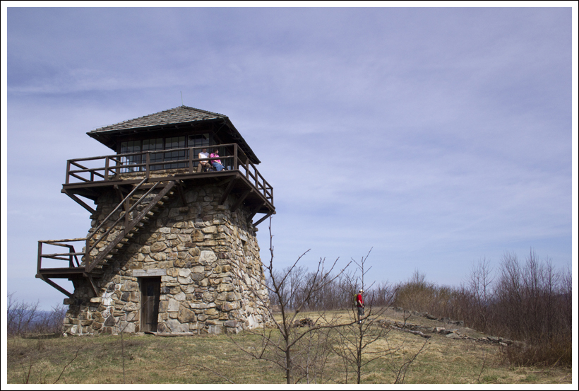


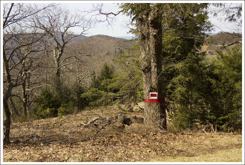


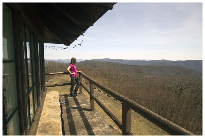


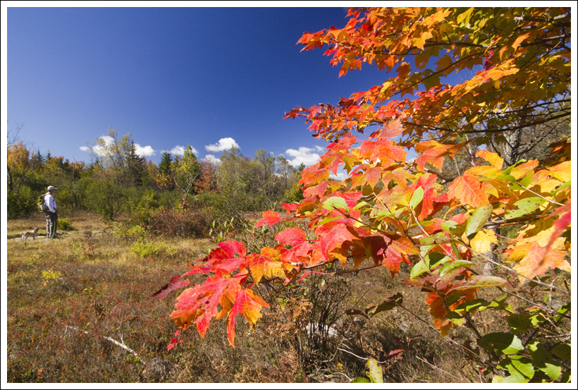
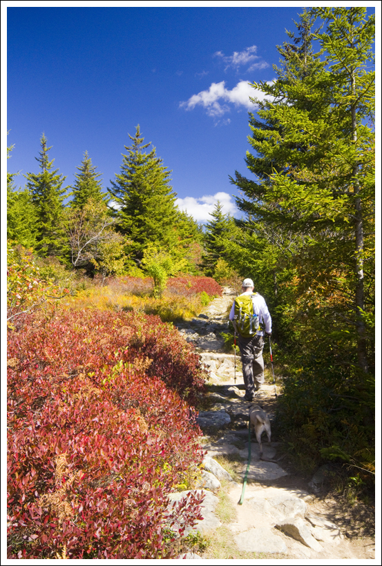


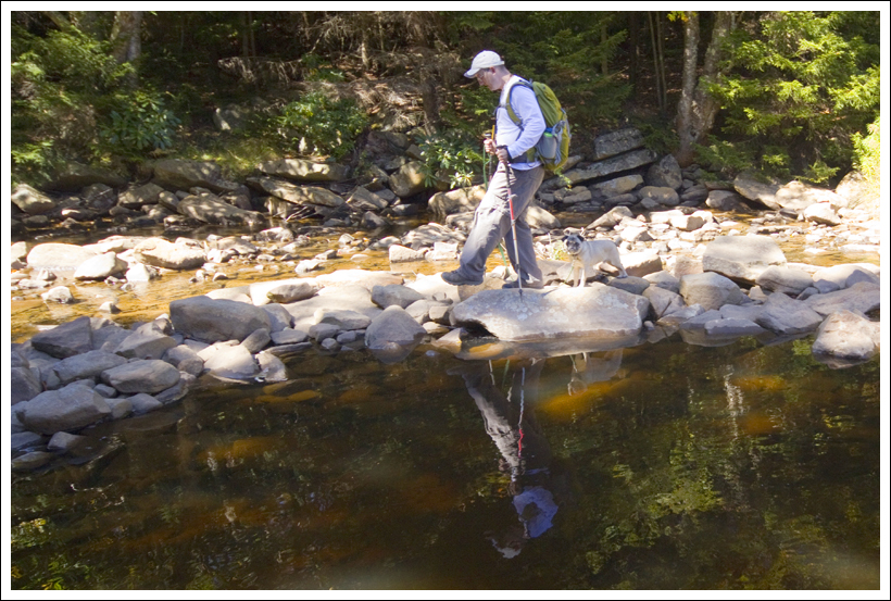


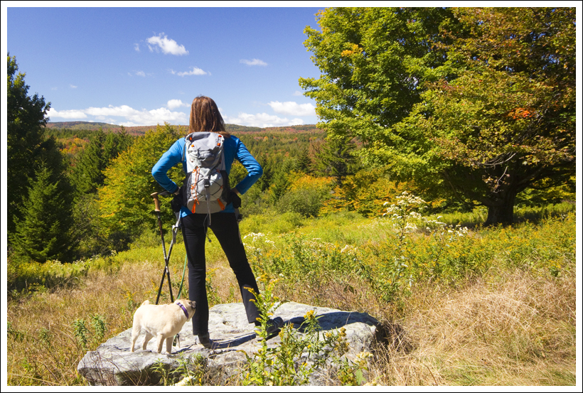
 Wookie Says…