This four mile hike takes you by one of Virginia’s most beautiful waterfalls. The trail is engineered and mostly flat, so this hike is suitable for hikers of all levels.
View the Full Album of Photos From This Hike

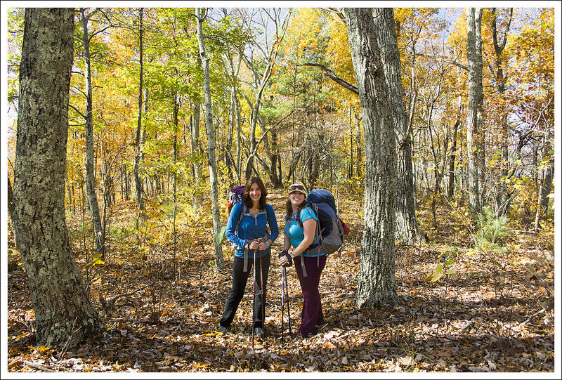
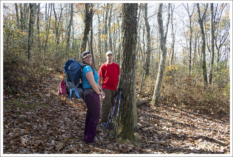
Adam Says…
Cascade Falls is one of those must-do hikes in Virginia, featuring one of the most picturesque scenes of a waterfall that you’ll get. We had been meaning to do this hike under more pleasant circumstances, but life doesn’t always work out that way. We were picking up our pug, Wookie (who many of you may remember has contributed his thoughts to some of our posts) from the Virginia Tech Veterinary Hospital. He has been suffering from chronic bronchitis – which is like COPD in humans – and had to have surgery to remove two of his lung lobes. We had a late afternoon pick-up for him, so we decided to go on a hike that morning while we were in the area.


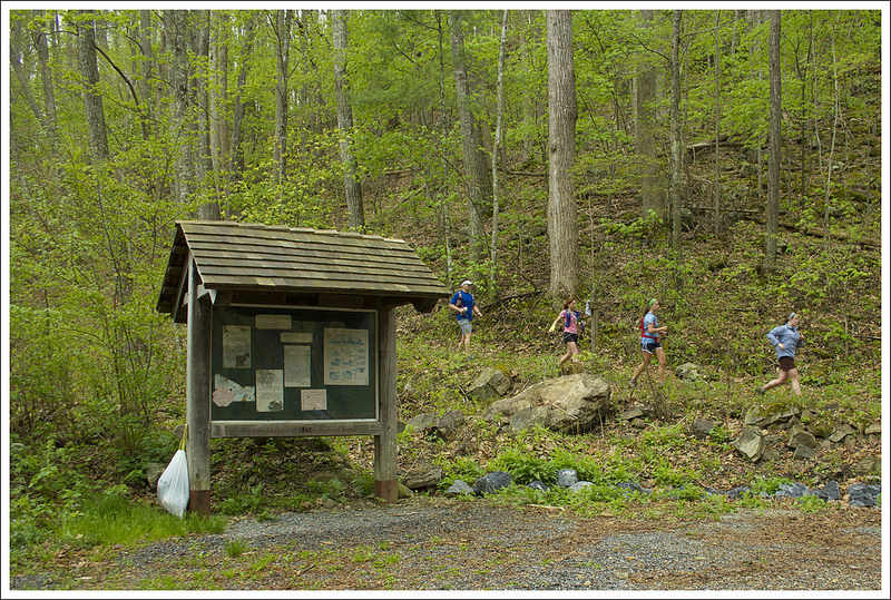
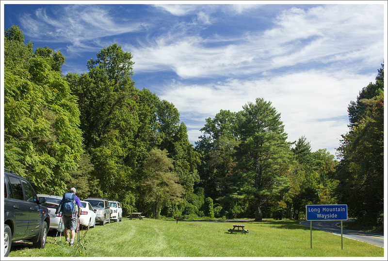
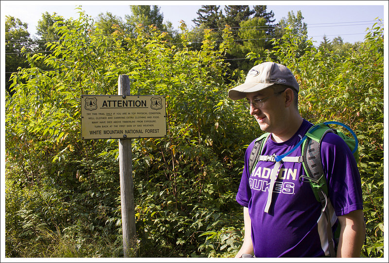
We arrived around 10:30 in the morning and found ourselves in a line of cars that were waiting for parking spaces. The tobacco-spitting parking lot attendant said it wasn’t like this a few years ago, but since Virginia Tech added this hike to a bucket-list during orientation for all of their incoming freshman, the place has been packed. Of course, we were doing this hike on the weekend before classes started at Virginia Tech, so there were students by the carload here. Only about eight cars back in line, we still had to wait about 45 minutes before we could park. I can only imagine that people that arrived around 11:00 would be waiting an eternity for a parking spot.
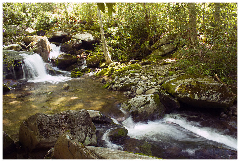
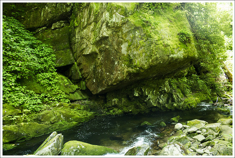
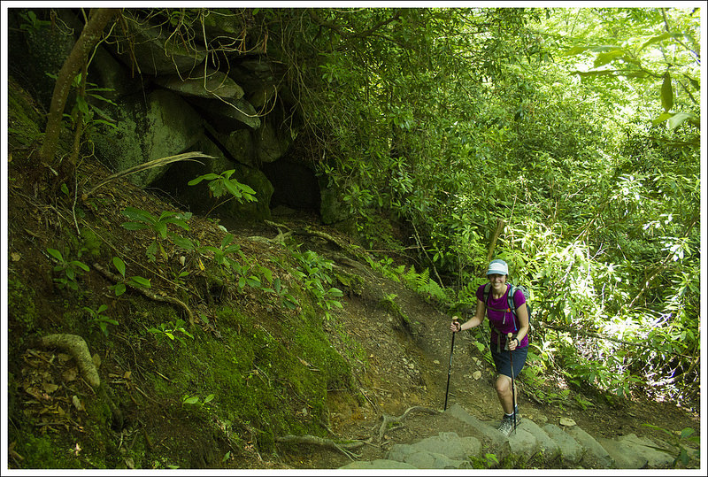
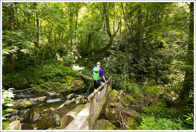
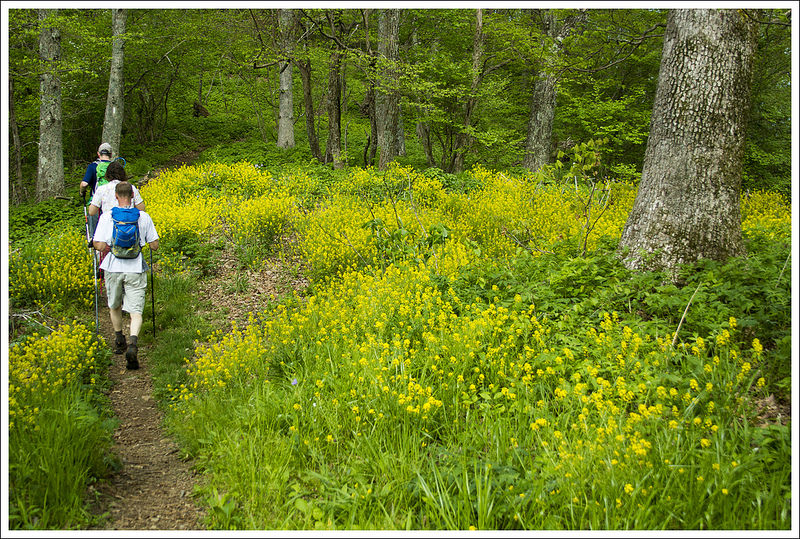
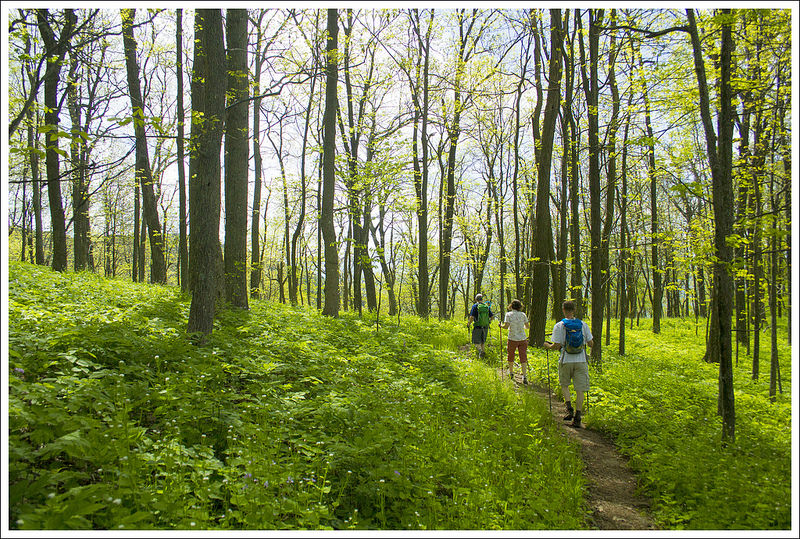
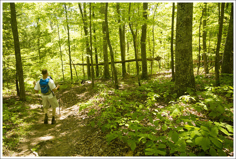
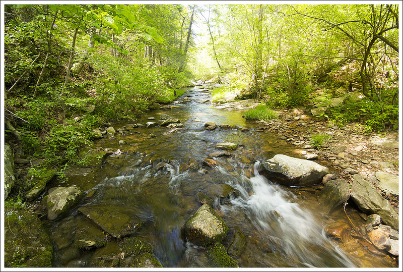
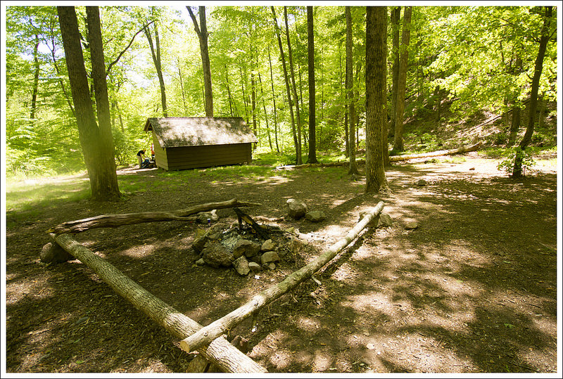
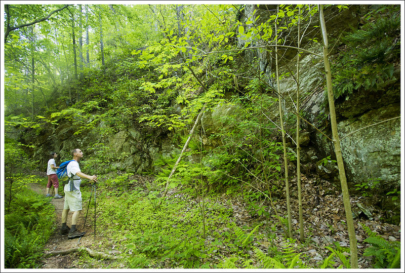
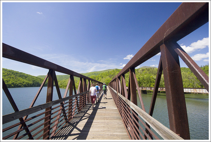
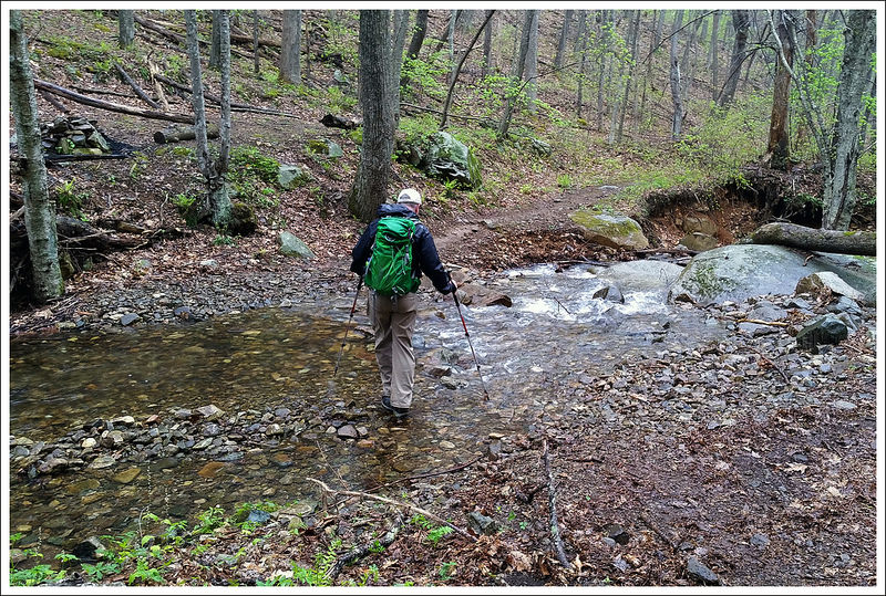
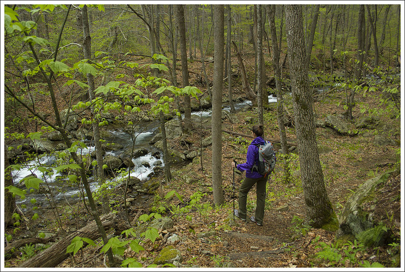
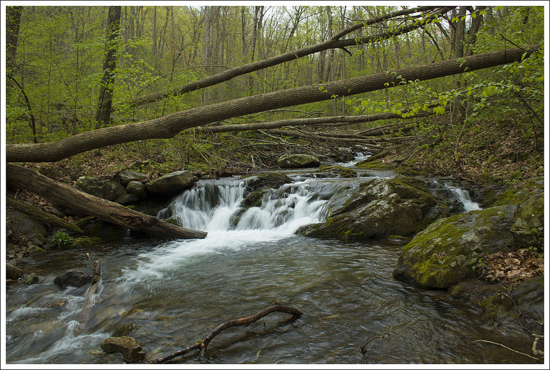
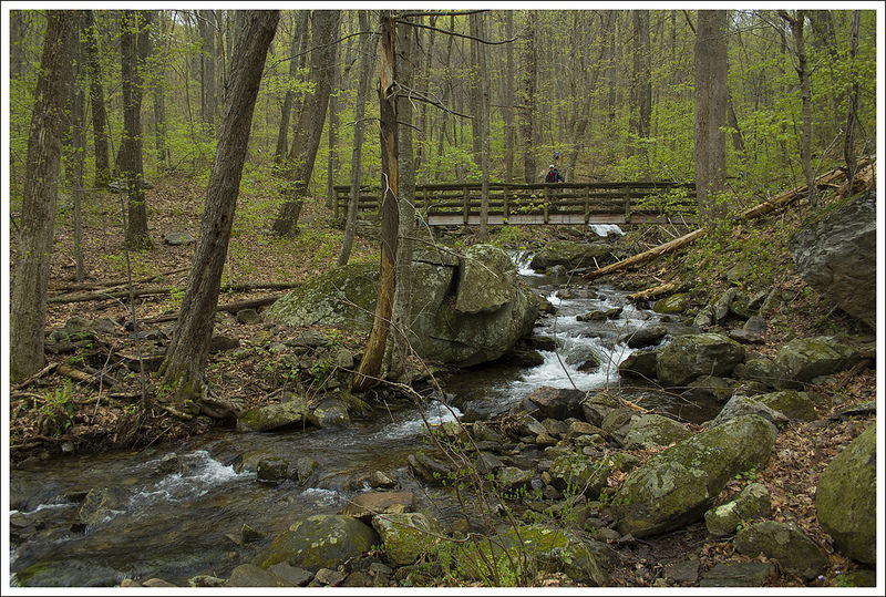
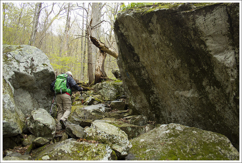
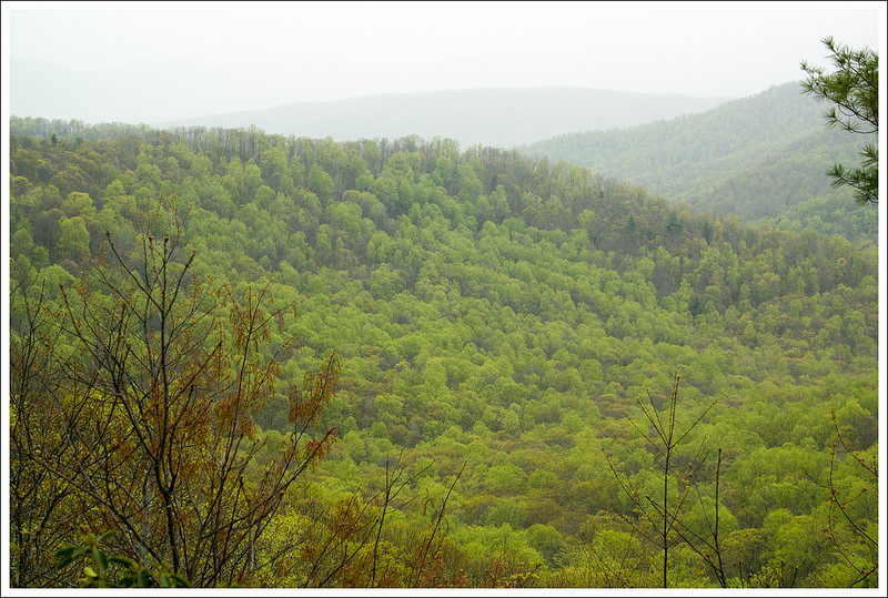
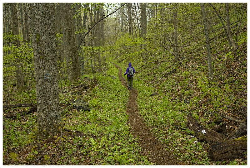
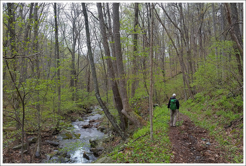
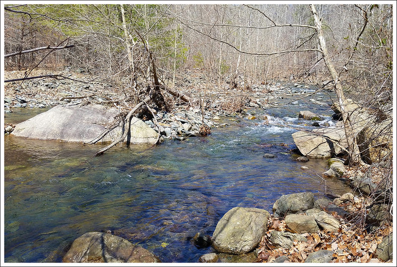
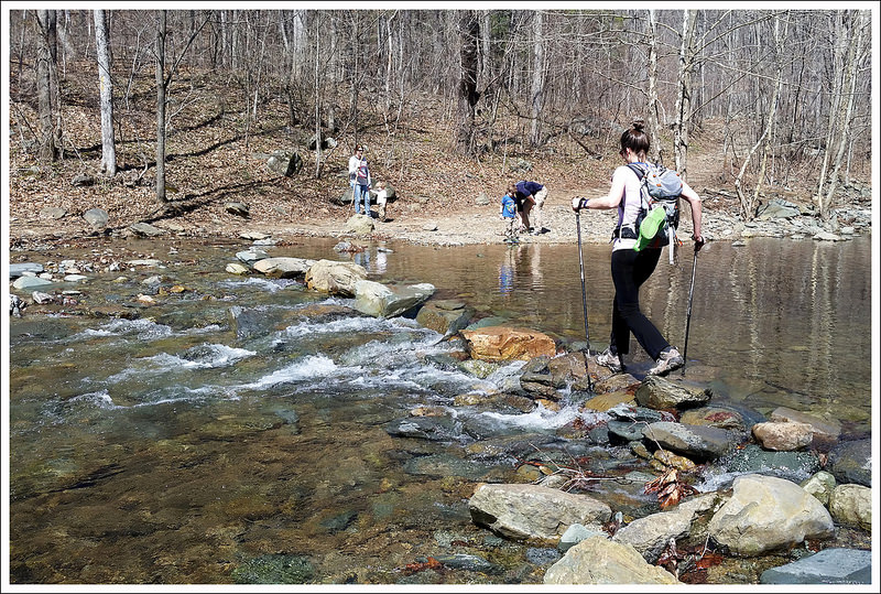
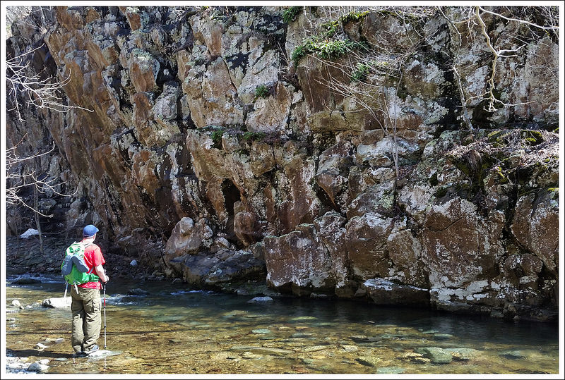
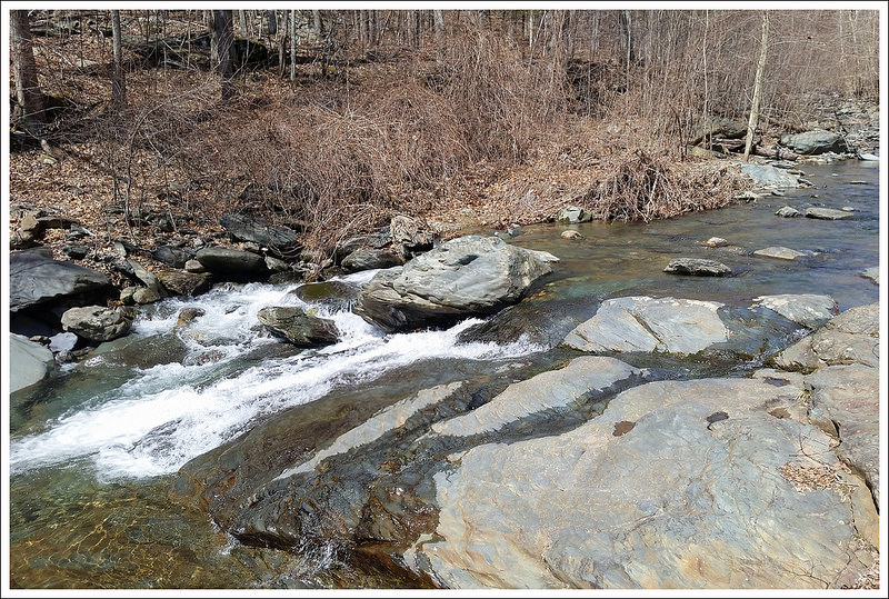
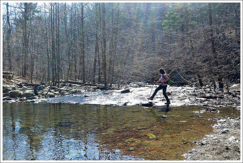
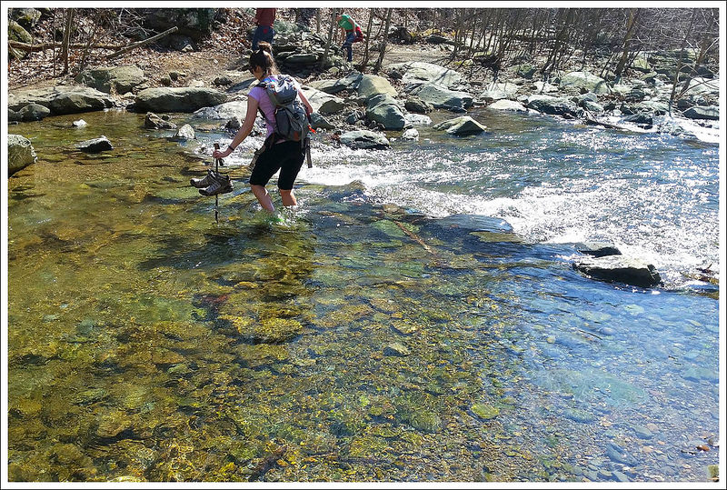
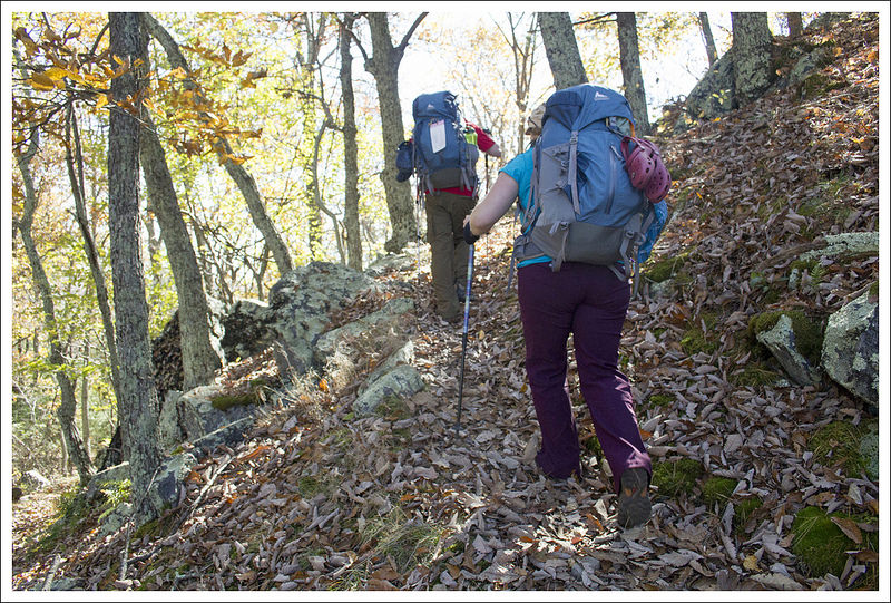
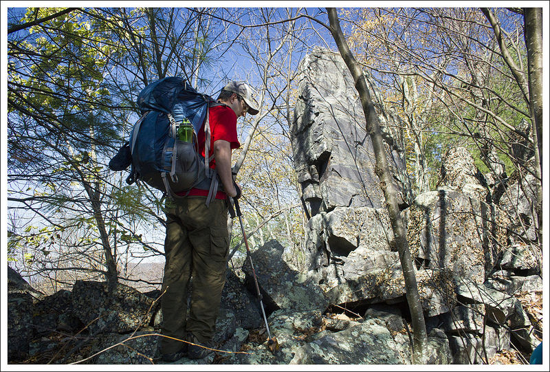
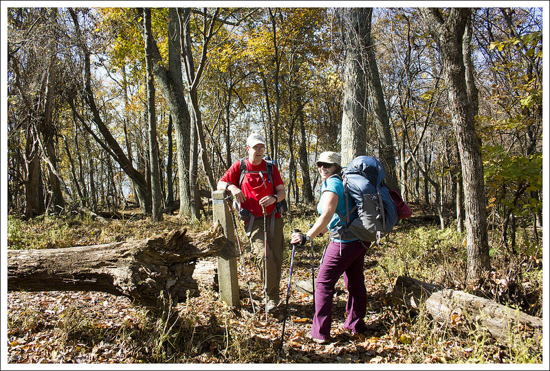
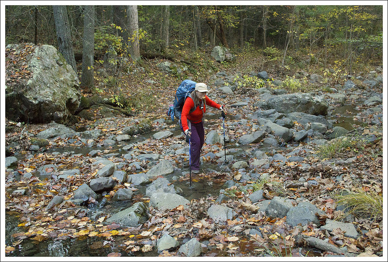
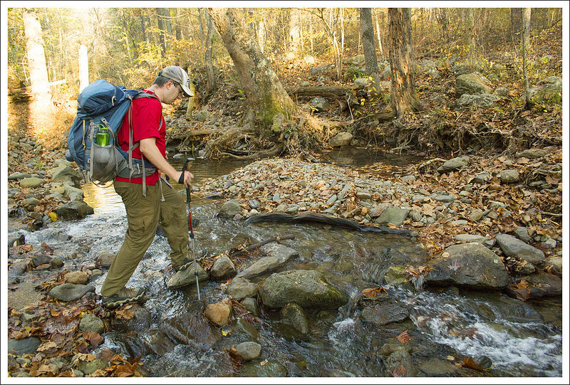
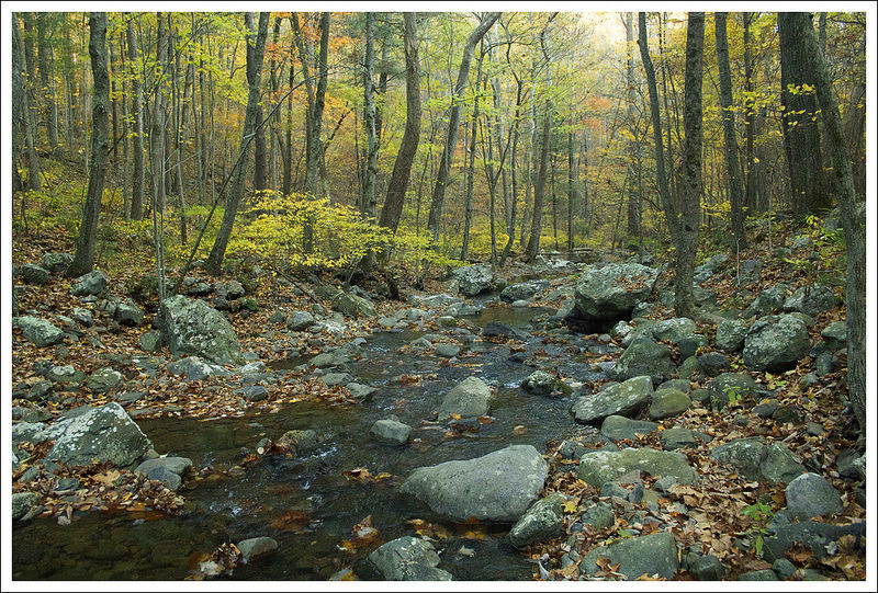
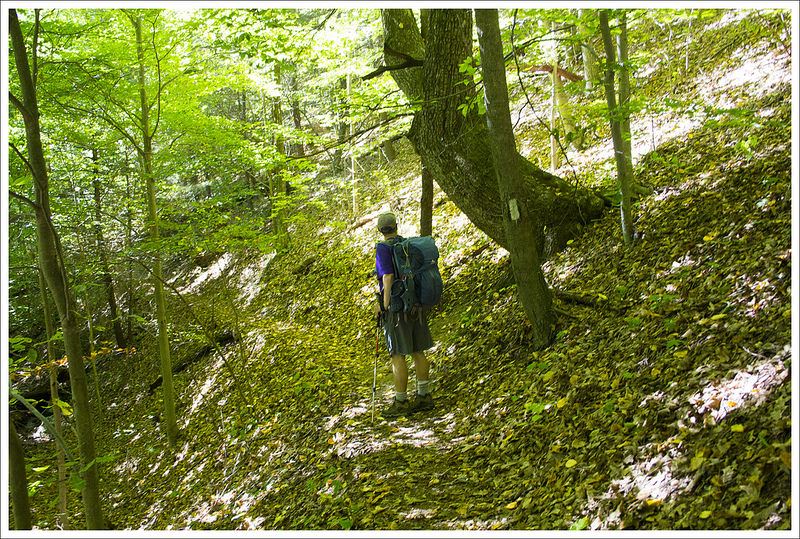
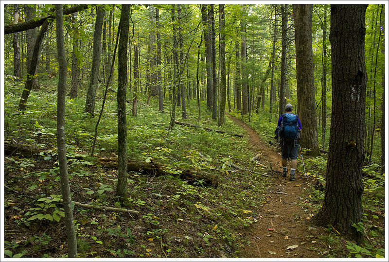
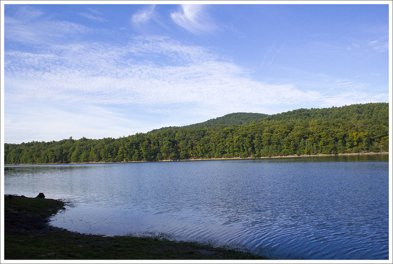
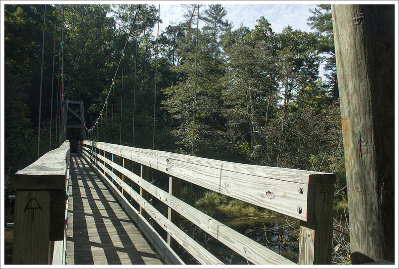
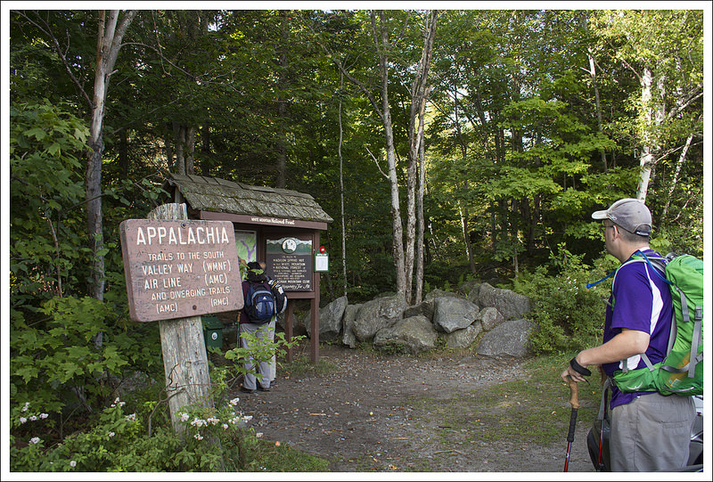
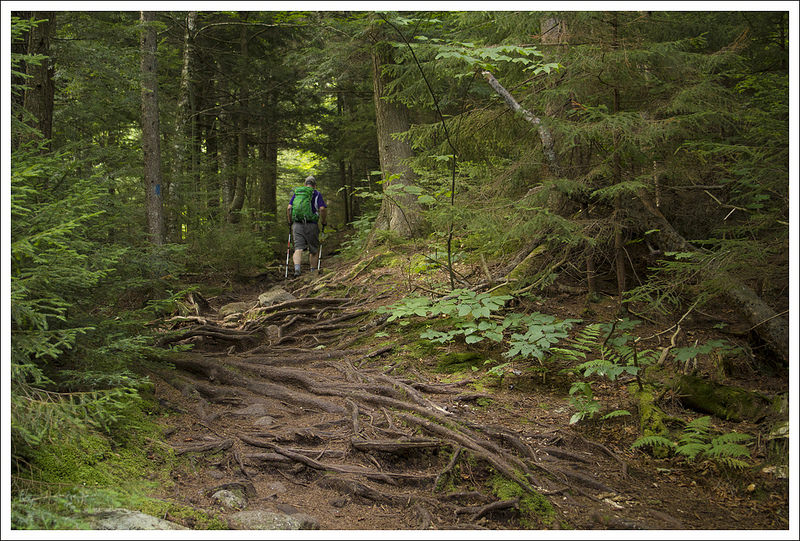
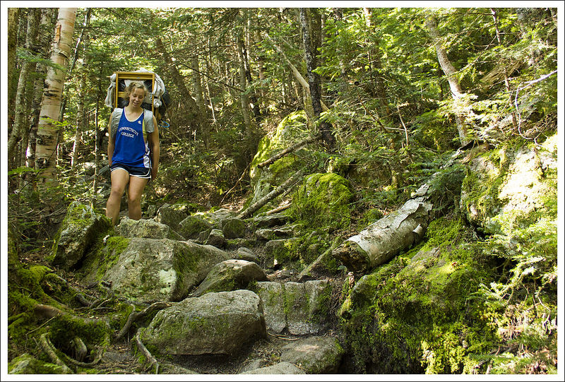
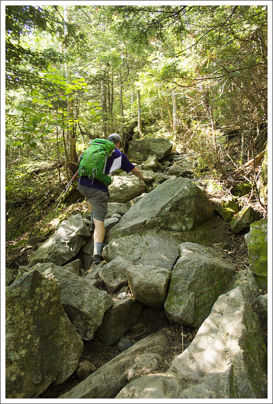
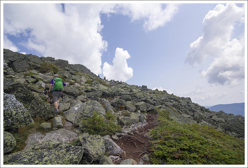
The trail starts at the end of the parking lot behind the information center and restrooms. Soon, you arrive at a bridge. The trail splits for an upper trail and lower trail. The attendant had suggested that we approach from the lower trail and then make a loop and return on the upper trail. We started on the lower trail, which hugs closely to Little Stony Creek the entire trip. Little Stony Creek has tons of spots to enjoy the views of the creek. You may even see a few paths that crossed the creek that were wiped out during a flood in 1996. The trail has been re-routed since then on the path you take now. There are some ups and downs as you go along the creek, but overall you are climbing along the trail.

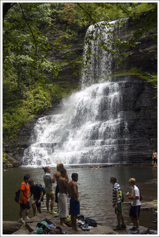
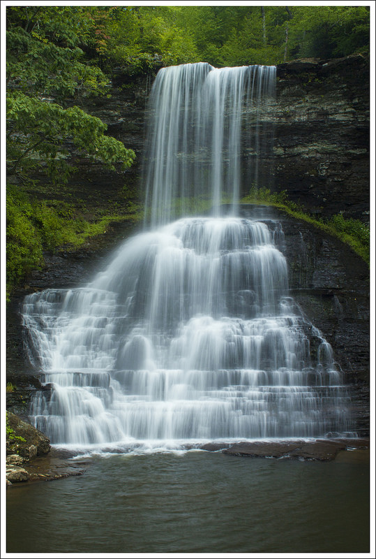
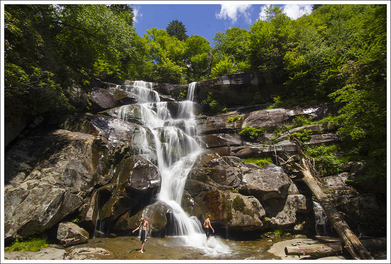
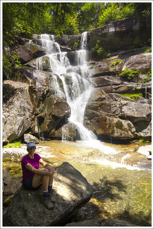
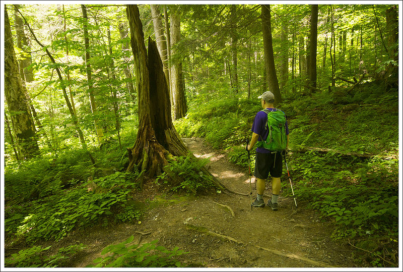
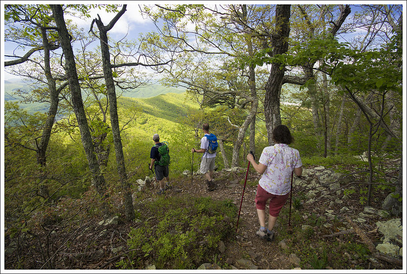
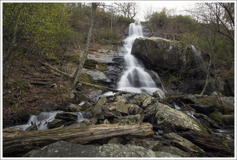
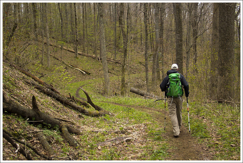
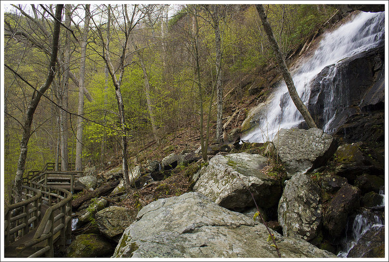
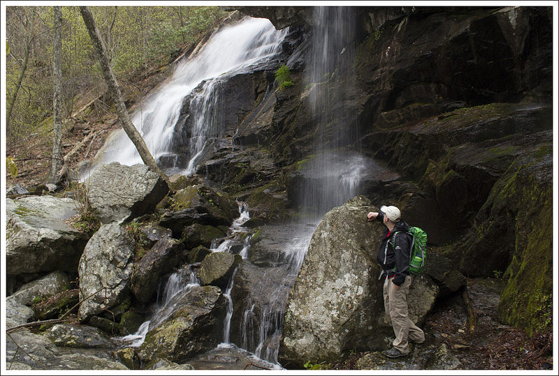
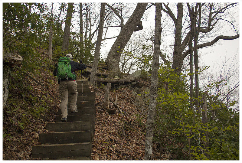
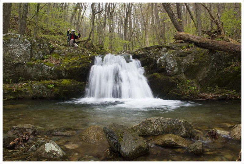
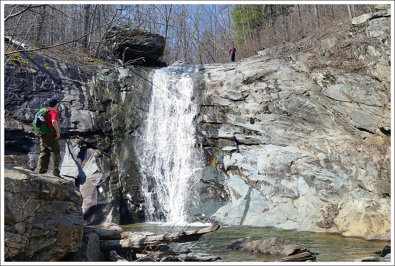
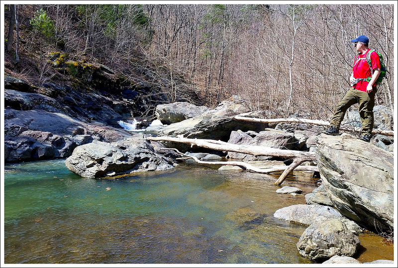
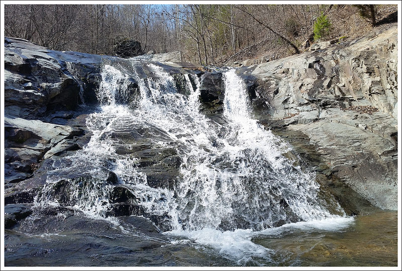
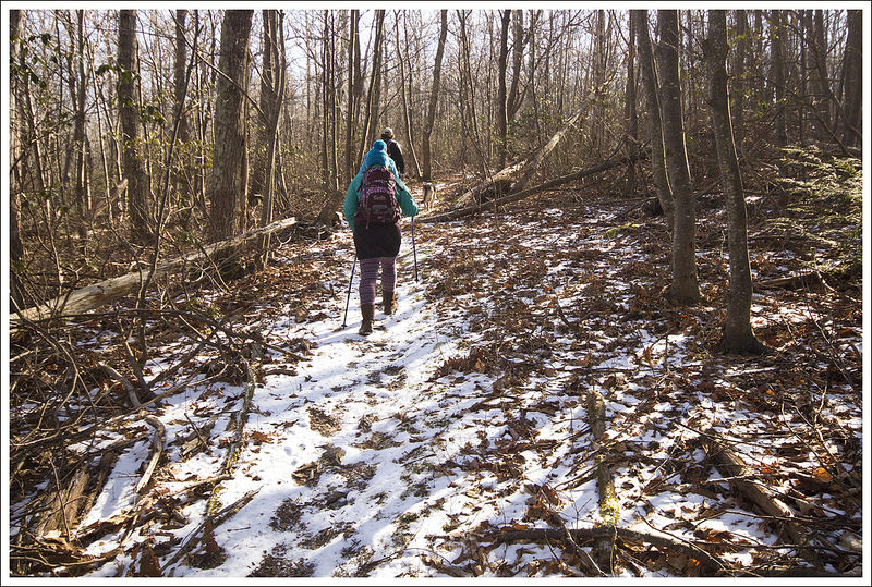
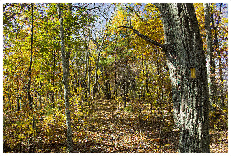
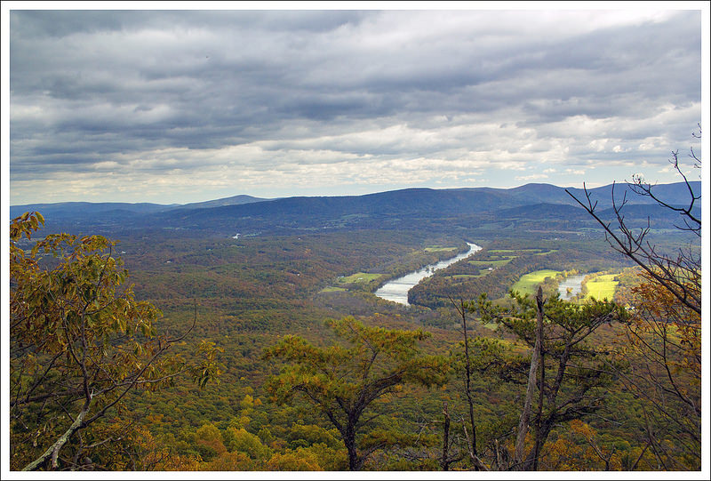
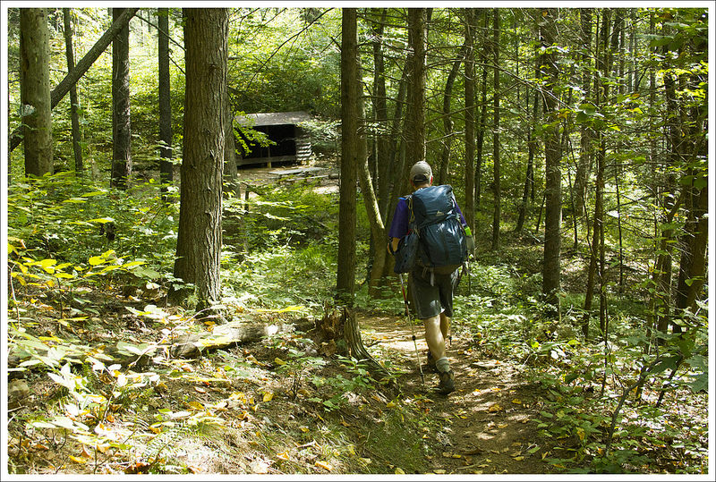
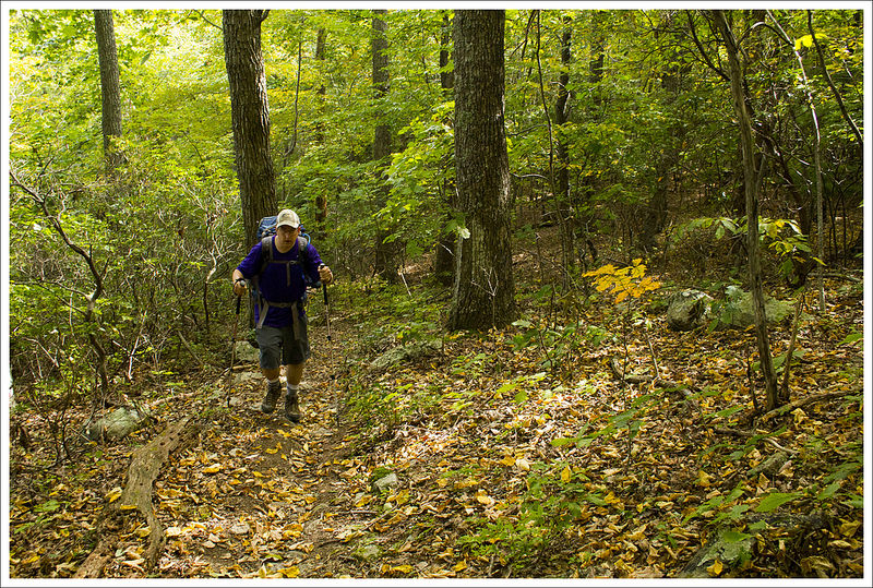
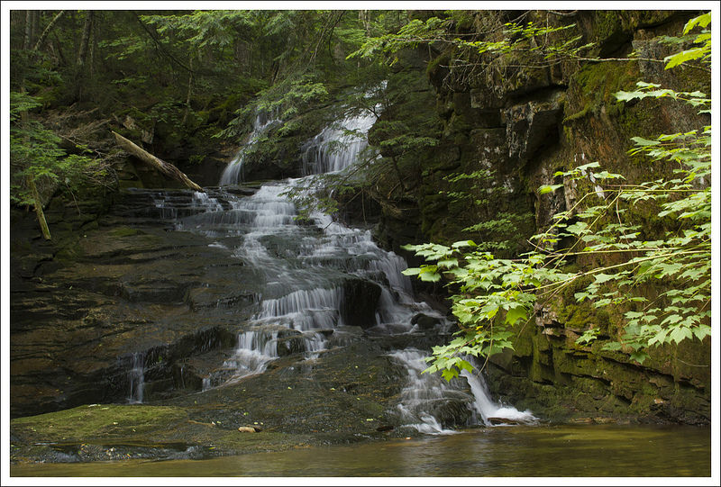
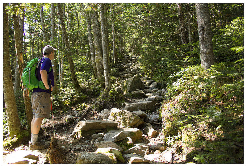
At 2.0 miles, you will reach the large Cascade Falls. The water plunges 69 feet from the top over a large, wide wall making for an impressive scene. We saw probably over 100 Virginia Tech students at the falls, some were swimming in the always-cold water while others were climbing on the rocks (or the large rock slide to the right of the falls). It was nearly impossible to get any pictures without someone in it, but the shots do provide the sense of scale of the scene. We enjoyed watching the falls for a while and then proceeded up the stairs to the left. One path leads to another vantage point from next to the top of the falls, but this was more obstructed. We ended up taking the trail from the top of the steps, heading to the left, which came to a junction in a short distance. To the right, the trail continues on to Barney’s Wall, but we decided to just descend the upper trail since we were out of time. The upper trail consists of mostly a large fire road, making for much easier footing than the lower trail; however, you don’t get the views of Little Stony Creek like you did on the lower trail. The return trip was a nice walk through the woods on the trail until we reached our car back at 4.0 miles.


We hopped in our car quickly to allow for the next waiting person to be able to take our spot. The line of cars was quite long by this point.
Christine Says…
Cascade Falls – known better as ‘The Cascades’ – is a beautiful, easy hike to one of the nicest waterfalls I’ve seen! The parking lot and trail were both insanely crowded, but I think we were probably there on one of the year’s busiest days. It was a weekend, the weather was cool and sunny for August, and the new school year was about to start at nearby Virginia Tech.
I’ve never hiked anywhere that I’ve had to wait in line for a parking spot, but that was the case here! Fortunately, we had all day to wait before our dog was discharged from the hospital, so we weren’t in any rush.

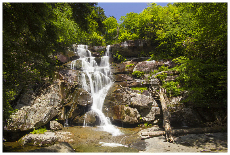
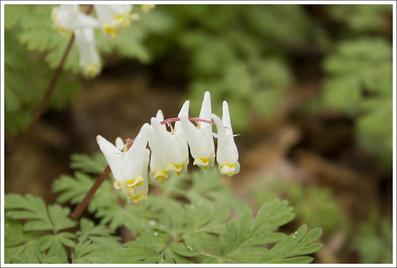
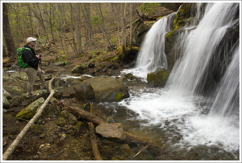
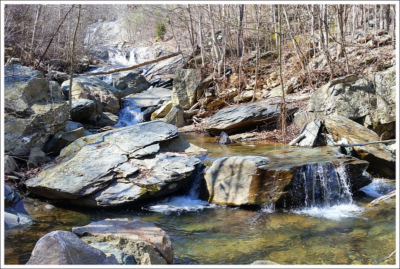
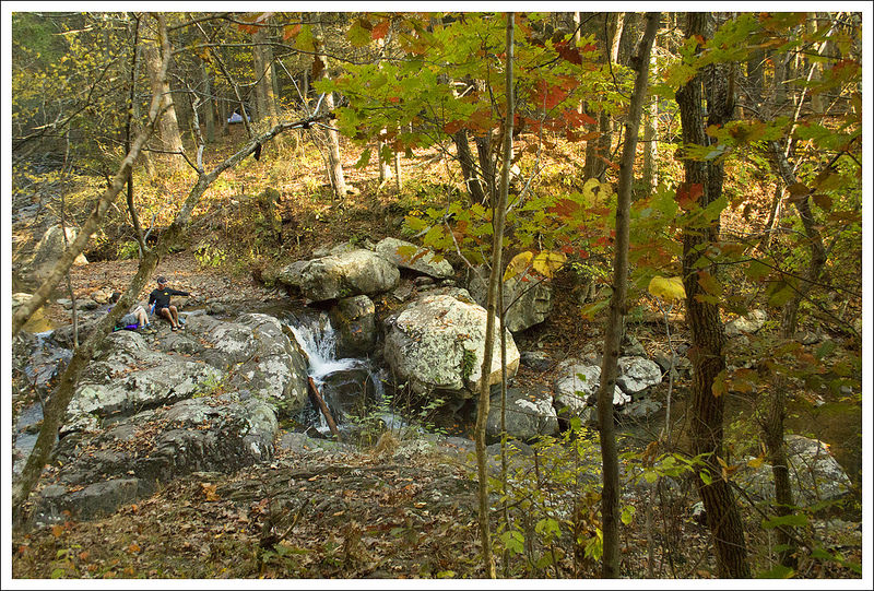
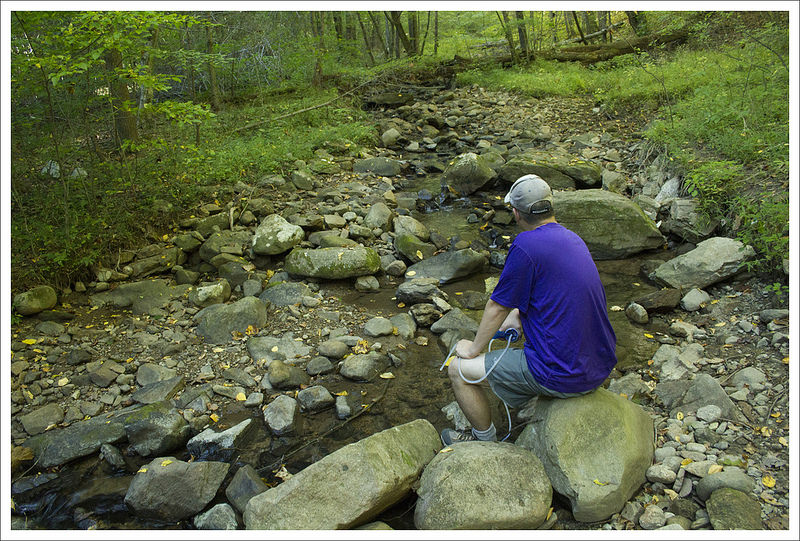
We walked the lower trail on our way to the falls. It was more of an engineered pathway than a classic, dirt hiking trail. There were paved walkways, stone stairs, and bridges most of the way to the falls. All along the way, the trail followed a scenic stream. There were tons of small waterfalls and cascading rapids to enjoy along the route.
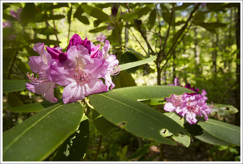
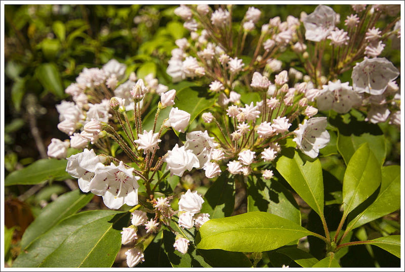
A couple tenths of a mile before we reached the main waterfall, the trail passed through a dense mountain laurel and rhododendron thicket. After that, the path opened up onto a lovely grotto like scene. The falls cascades over a cliff into a large plunge pool. There were MANY kids swimming and sunbathing around the falls. I think I still managed to get a couple decent photos.


On the way back, we took the upper trail. It was basically a wide, gentle fire road that led back to the parking area. After the hike, I cleaned up in the parking area restroom. It was nice! Instead of a pit toilet, it had flush toilets, running water, and soap! We stopped for beers and lunch at Bull & Bones Brewhaus, while we waited on the call to pick Wookie up from the vet.
I’d like to do this hike again sometime on a quieter day. I’d also like to hike it when my mind isn’t preoccupied with worrying about my dog. It was really a beautiful spot!
Trail Notes
- Distance – 4.0 miles
(Check out the stats from Map My Hike)*
- Elevation Change – 742 feet
- Difficulty – 1.5 Not much climbing and most people can make this. This is a great family hike.
- Trail Conditions – 3.5 There are spots where things can be quite rocky/muddy. Due to the traffic, some of the rocks are quite slick.
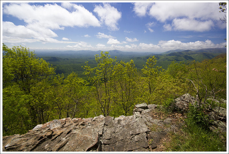
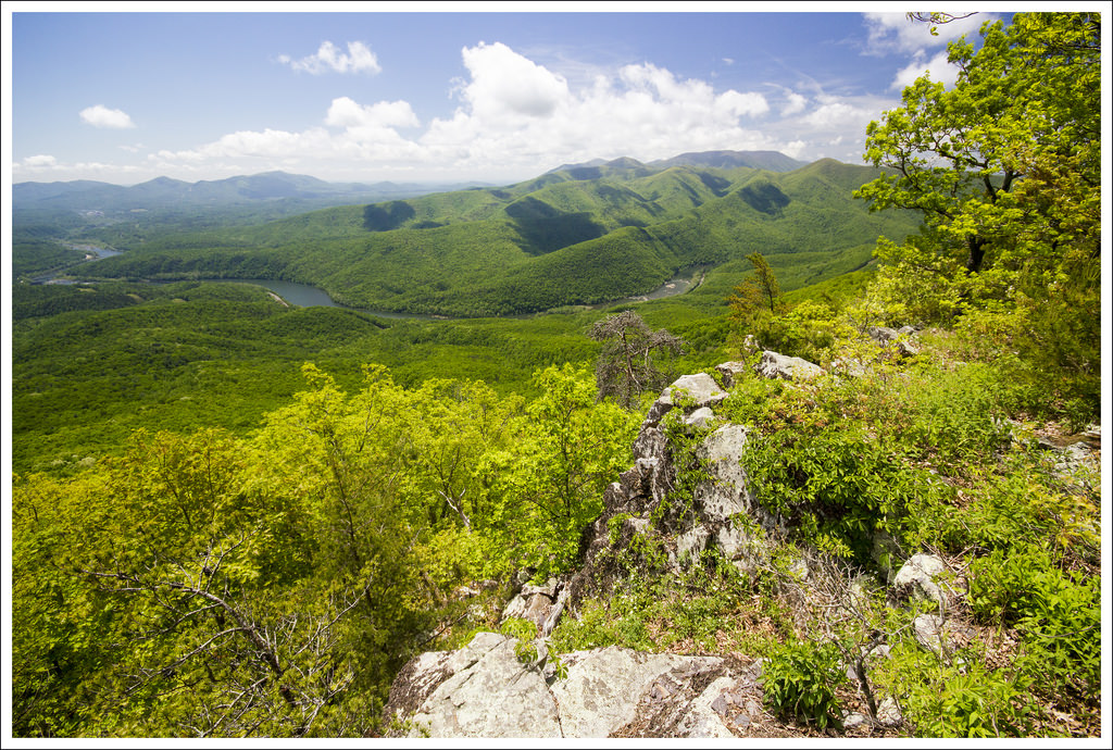
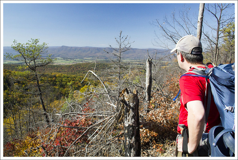
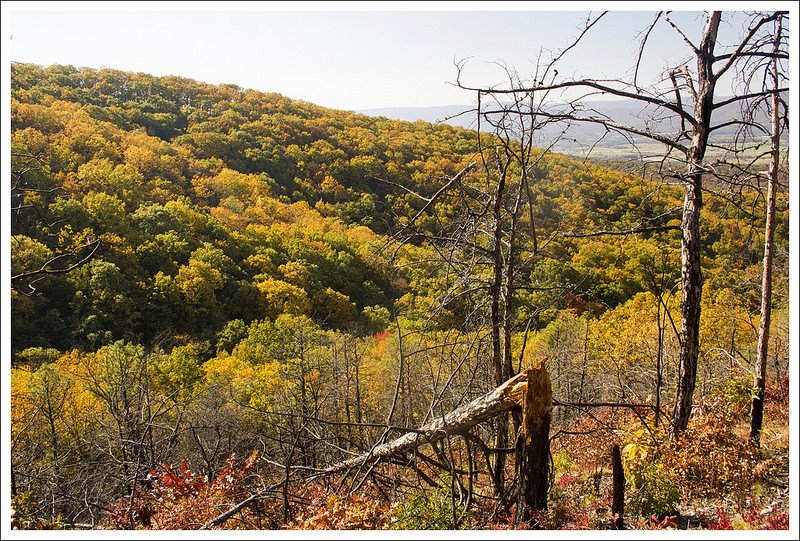
- Views – 1.5 The one path to the top of the waterfall gives a nice view of the scene below, but not the best view of the waterfall.
- Waterfalls/streams – 5 The waterfall is amazing and one of Virginia’s best. The views along Little Stony Creek are great also.
- Wildlife – 1 Due to the popularity, you will likely only see birds in the trees.
- Ease to Navigate – 3.5 There aren’t any blazes on the trail, but the trail is evident. We were a little confused trying to find our way to the upper trail since there are no signs marking the way.
- Solitude – .5 Due to the popularity, you will likely see a lot of people on this trail and especially at the waterfall. Time your trip for a weekday, overcast or rainy day, or very early in the morning to beat the crowds.
Download a trail map (PDF)
Directions to trailhead: Take exit 118A-B-C on I-81. Take US-460W. After 25.9 miles turn right onto Mill Road. In .6 miles, take a right onto Cascade Dr (SR-T623) in Pembroke. The parking lot is in 2.9 miles. Parking is $3 and cash is required (they noted they do not give back change). Coordinates: 37.353523, -80.599566
* MapMyHike is not necessarily accurate, as the GPS signal fades in and out – but it still provides some fun and interesting information.


