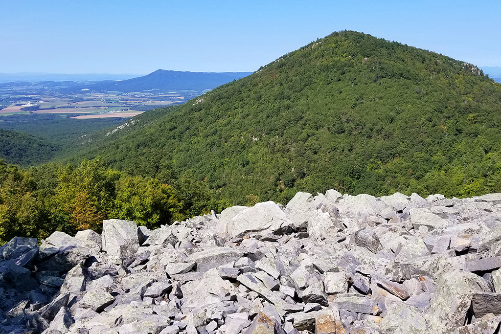
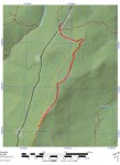
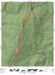
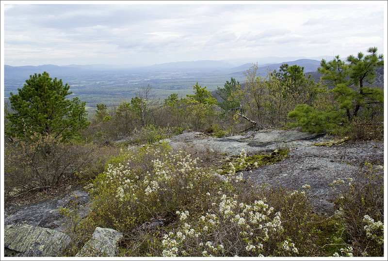
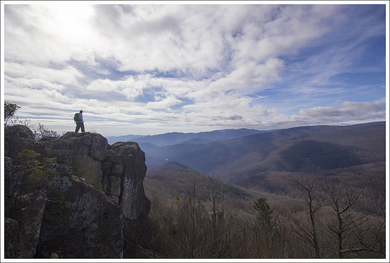
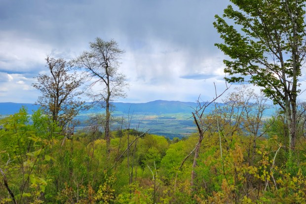
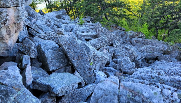
This nine-mile loop is perfect for a long day-hike or a quick overnight backpacking trip. We recommend backpacking, just to take advantage of the beautiful campsites near the summit. The rock scramble atop Duncan Knob is impressive and provides great views.
Full photo album is embedded at the bottom of the post!
Adam Says (Day 1)
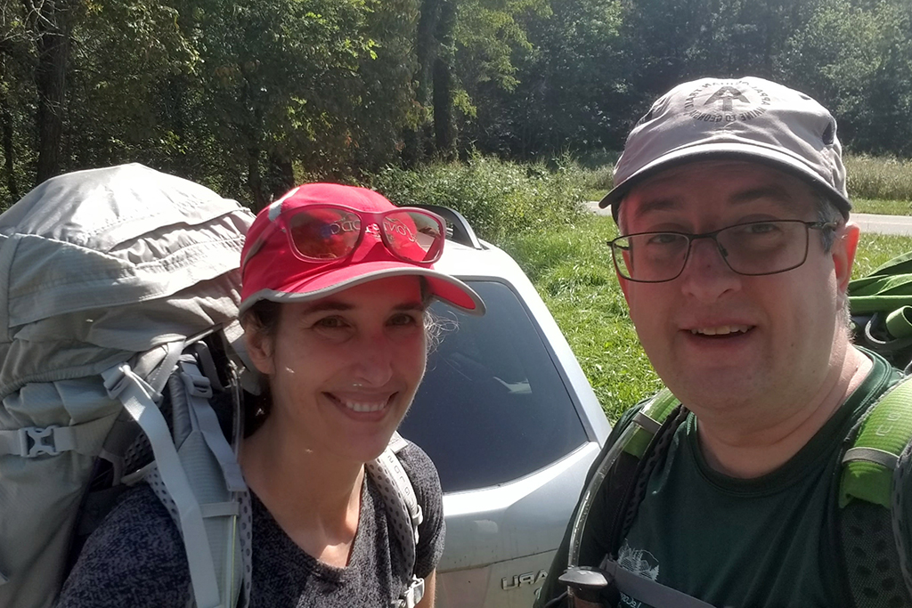
When the weather forecast looked like it was setting up to be a great weekend, we decided on short notice to pack our bags and go for an overnight backpacking trip. We had originally planned to do some miles of the Appalachian Trail we still wanted to accomplish, but there was a potential gas shortage coming so we came up with an idea that was closer to us and also wouldn’t require us to drive two cars to shuttle.
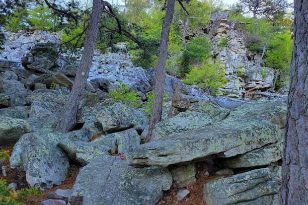
Duncan Knob and Strickler Knob are some of the more adventurous hikes in George Washington National Forest, since they both require some rock scrambling to get to the summit views. We opted for this route since we have done both Strickler and Duncan Knob as day hikes and had missed part of the trail system that makes this a doable overnight loop.
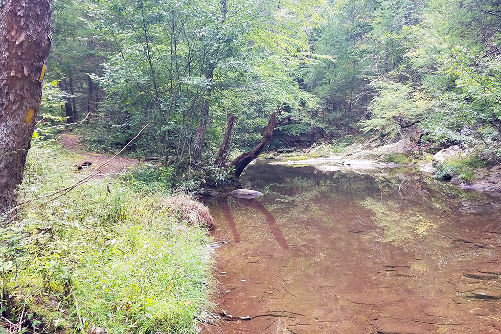
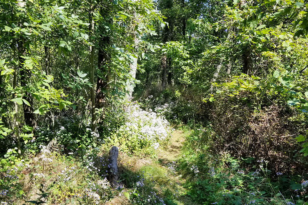
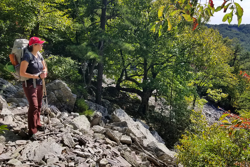
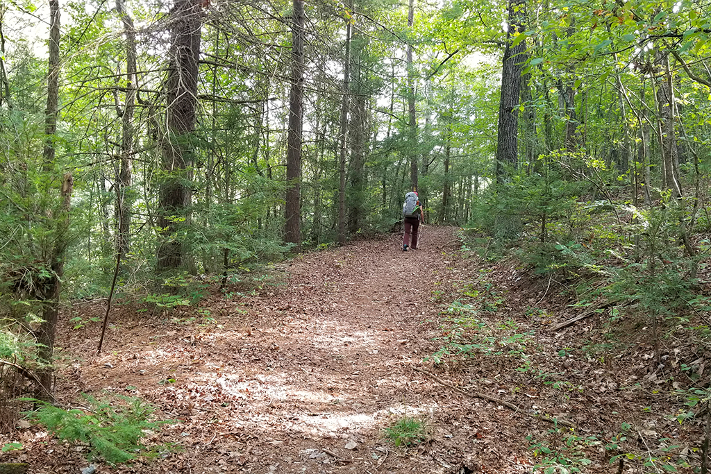
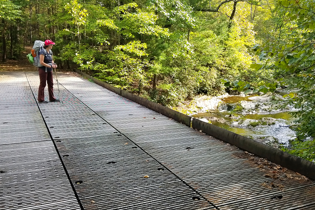
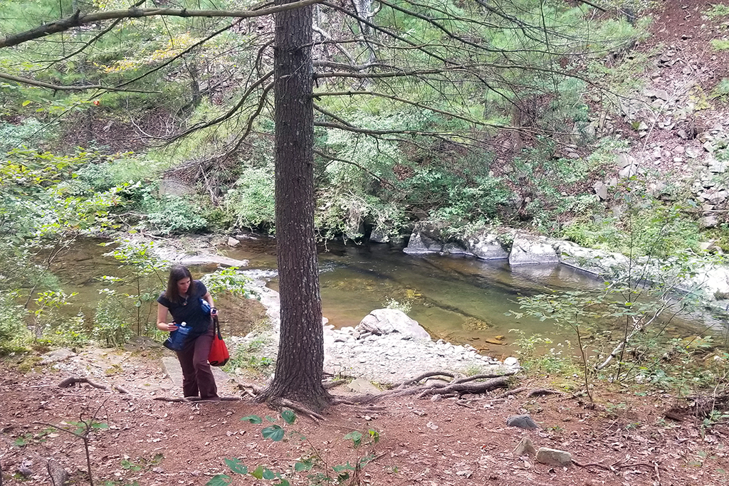
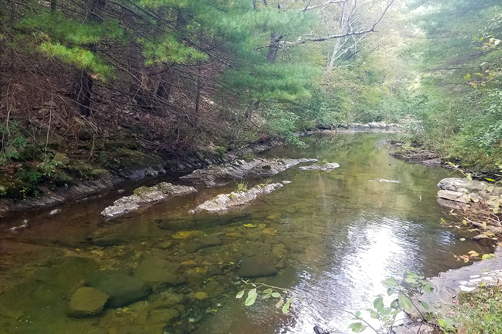
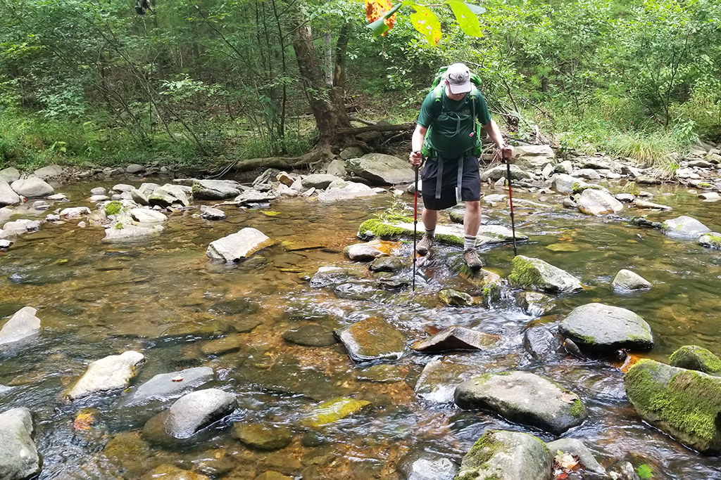
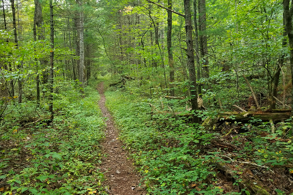
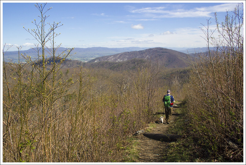
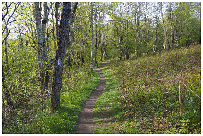
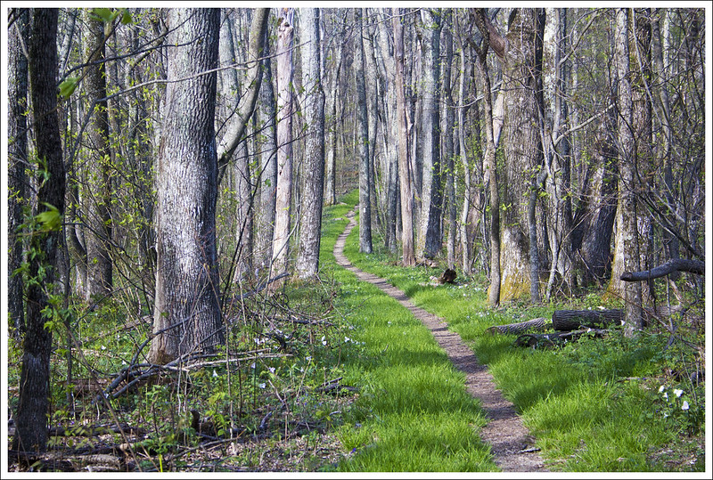
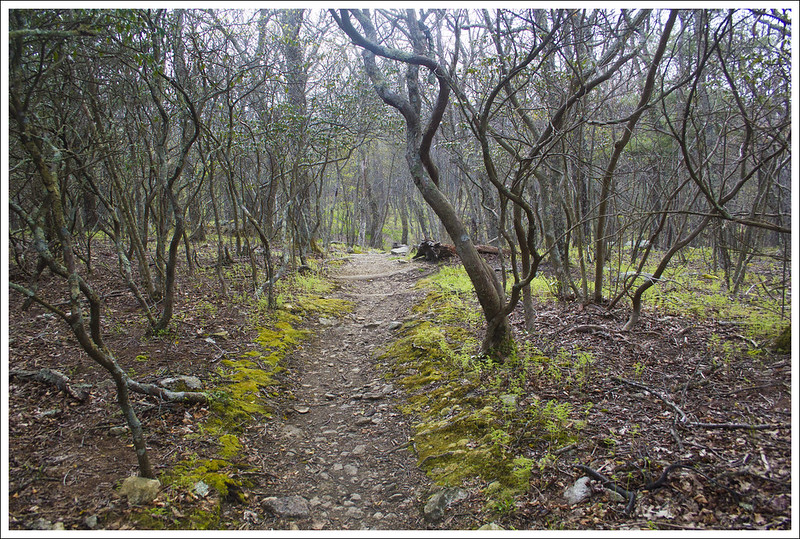
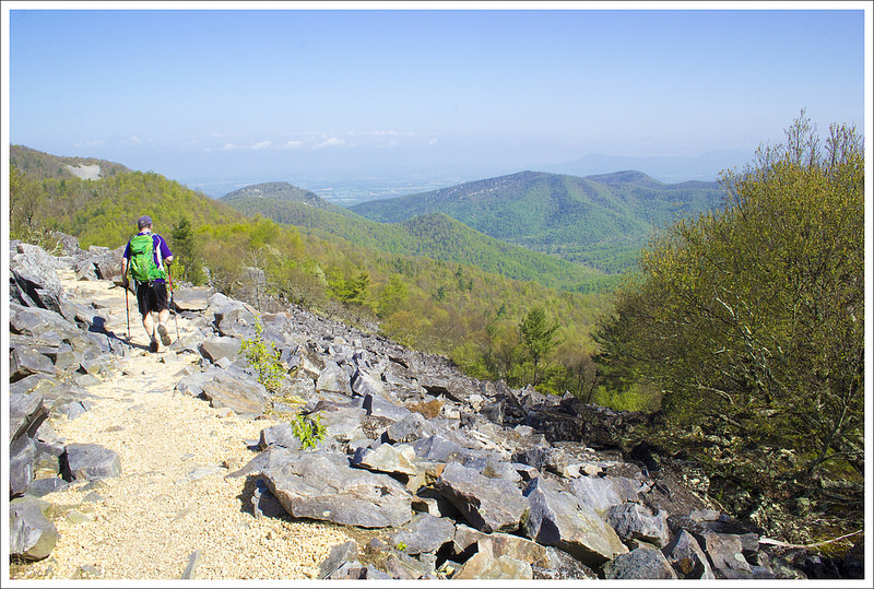
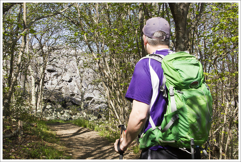
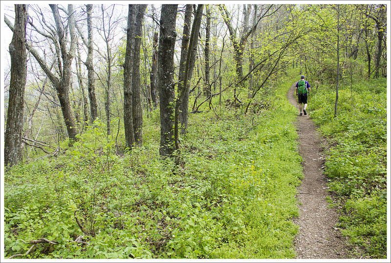
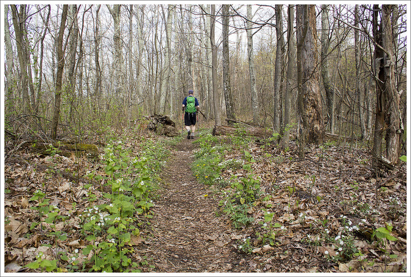
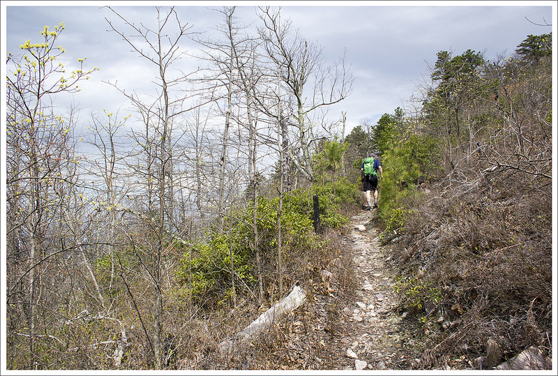
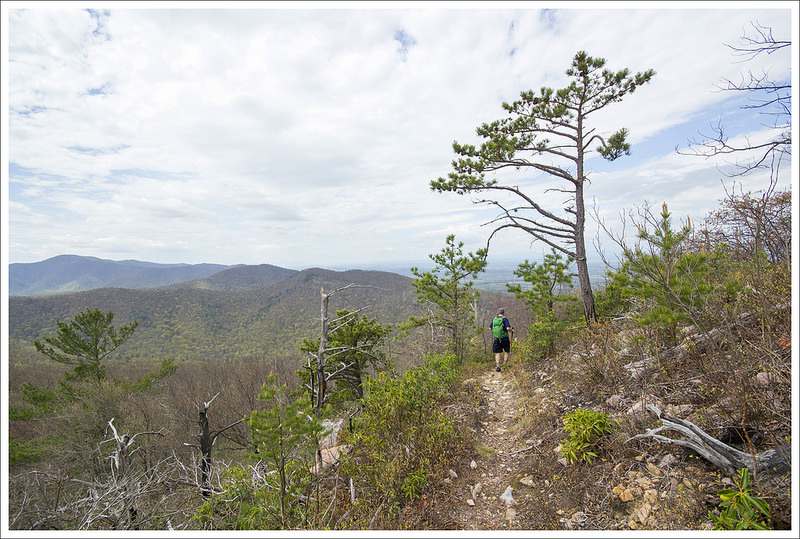
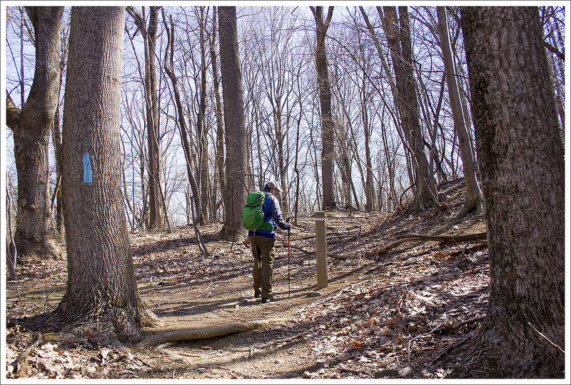
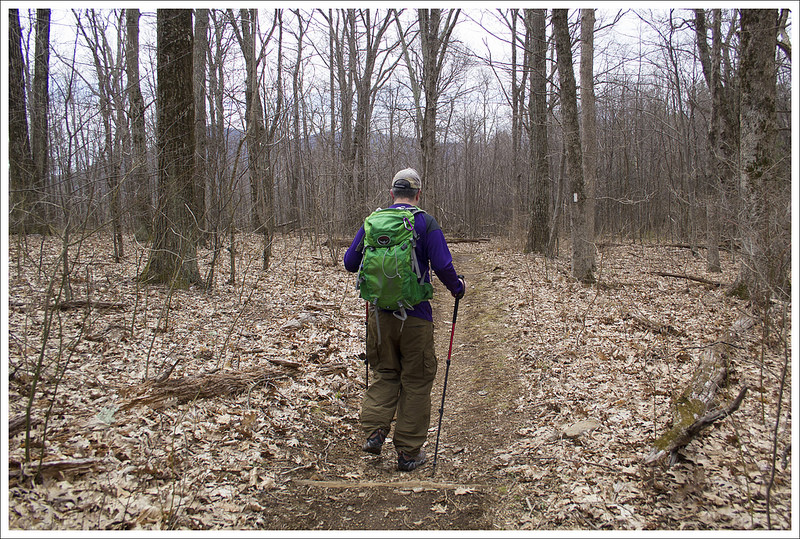
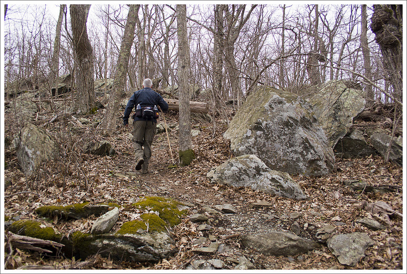
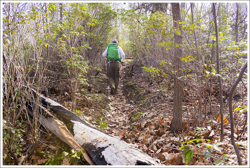
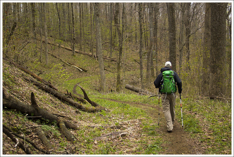
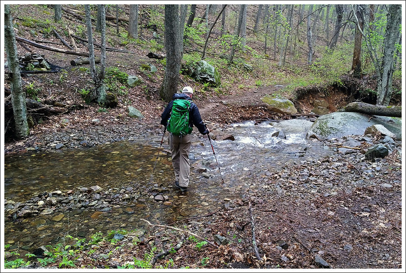
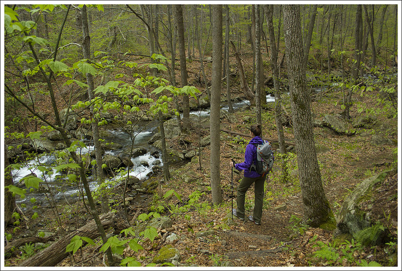
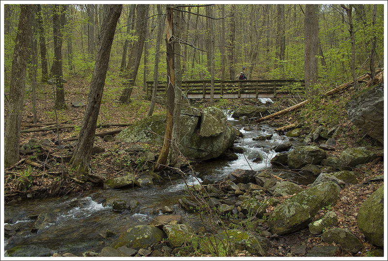
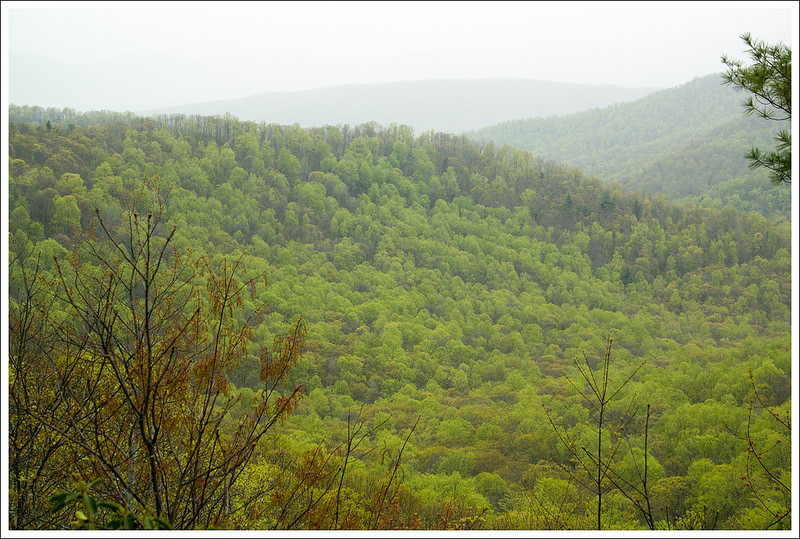
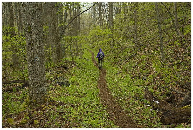
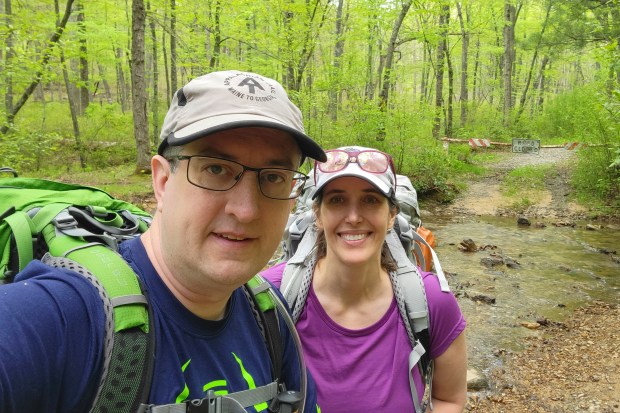
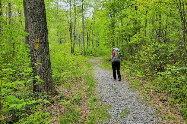
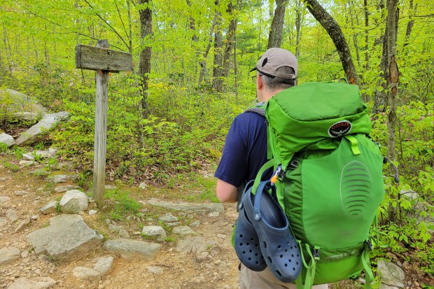
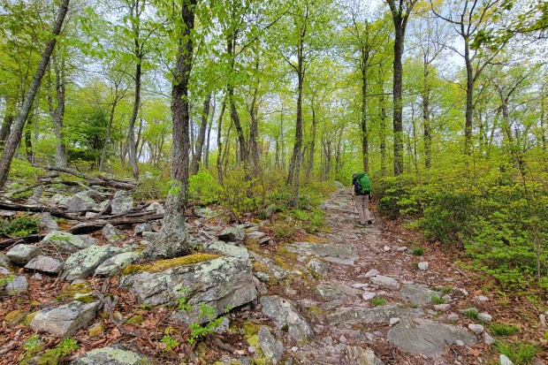
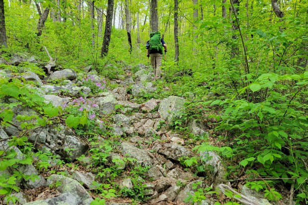
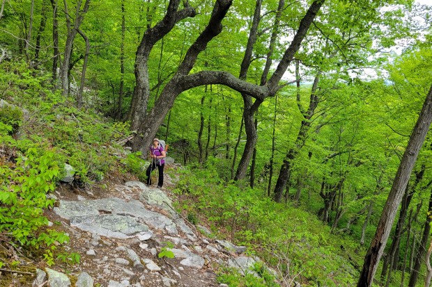
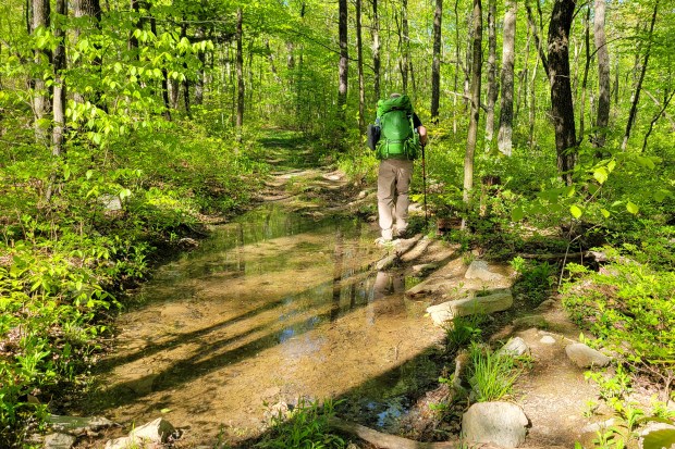
We started our hike from the Scothorn Gap parking area, quickly crossing the creek. The trail starts an uphill climb that is a bit steep in parts. We reached the junction with the Strickler Knob trail at the top of Middle Mountain. We ran into a few people that were doing that as a day hike. If you wanted to add Strickler Knob onto this loop of a trail, it would add another 1.4 miles to the trip – if you haven’t done Strickler Knob before, I would highly recommend it. We weren’t sure about camping and how far we wanted to go the first day, so we decided to skip Strickler Knob. The trail crests shortly after the junction with Strickler Knob and then descends. The descent at times was rocky and very muddy. We’ve read about the bugs on this trail and that can be largely from standing water.

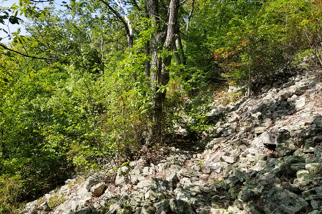
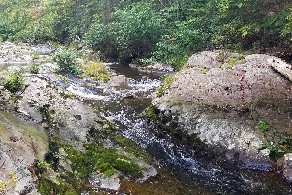
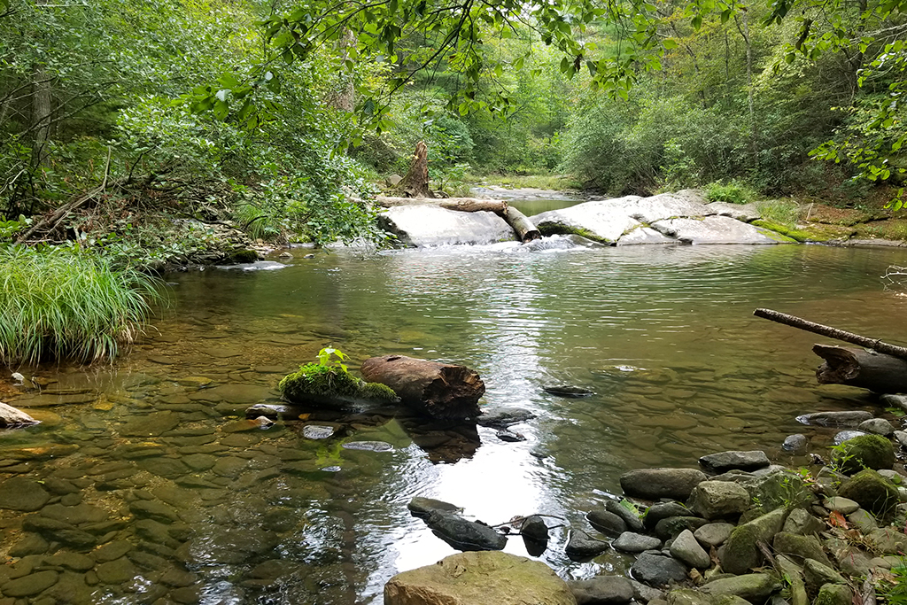
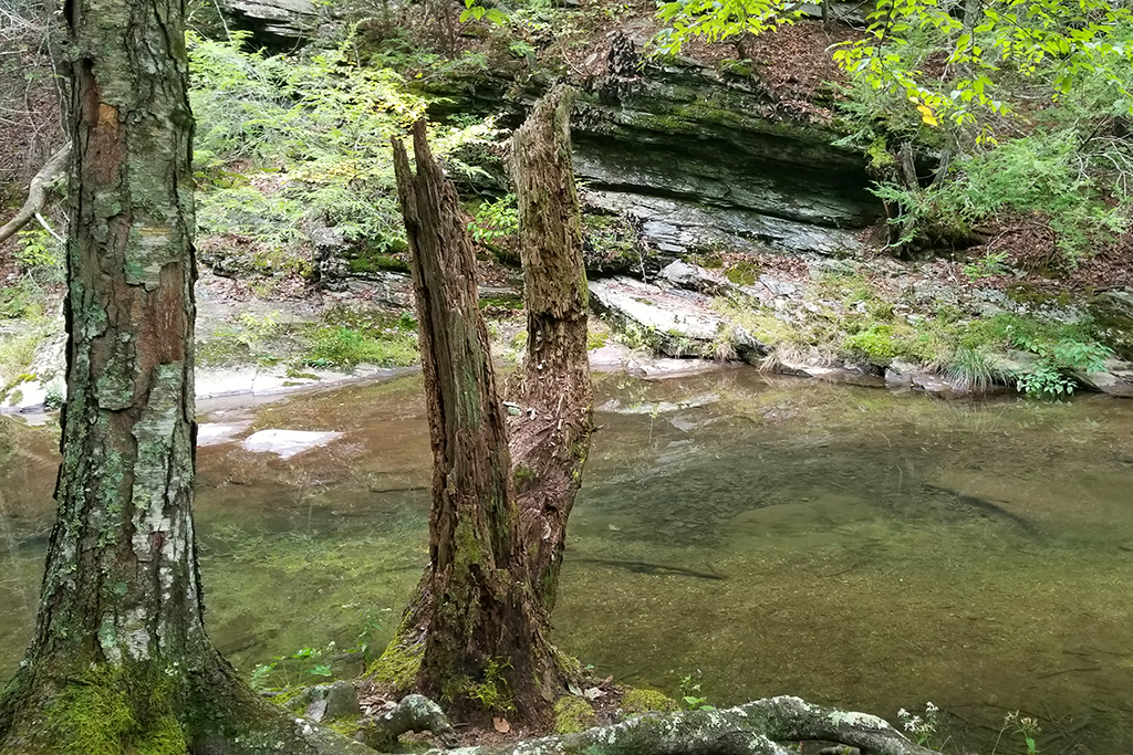
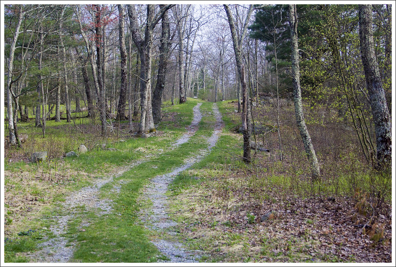
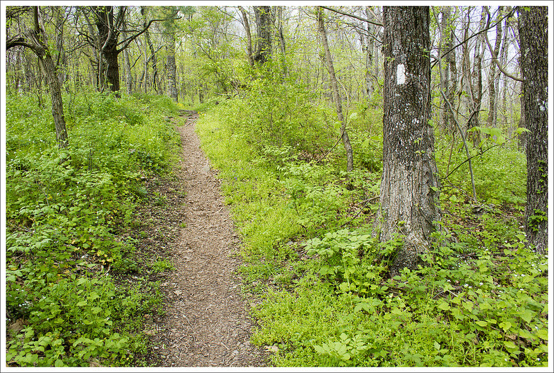
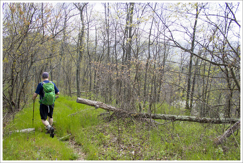
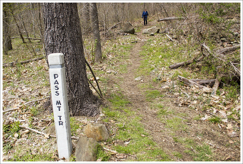
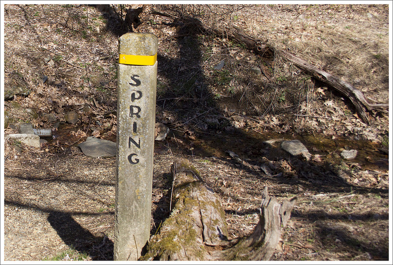
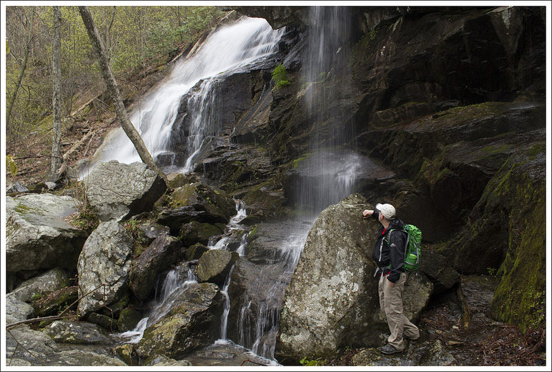
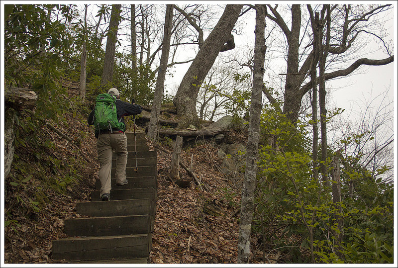
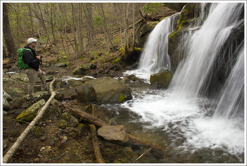
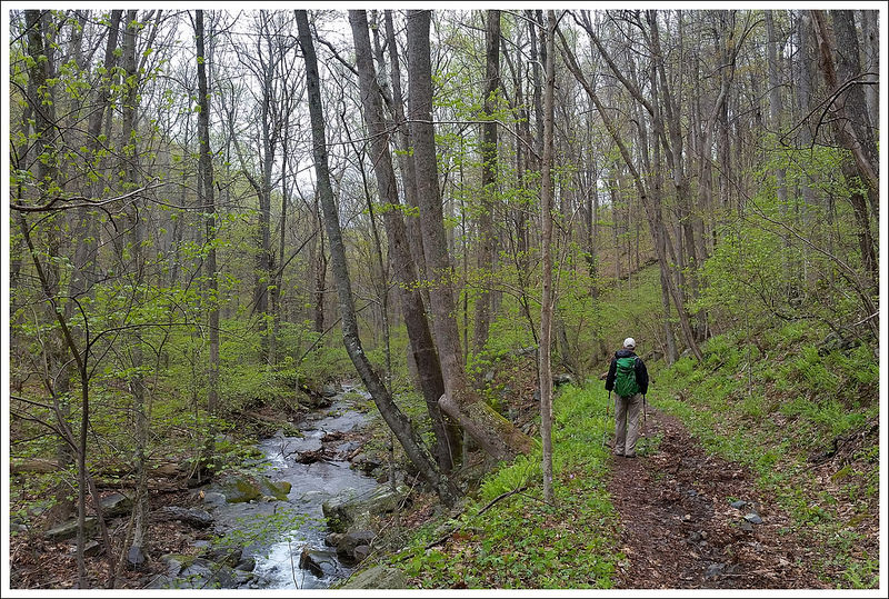
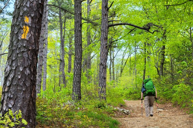
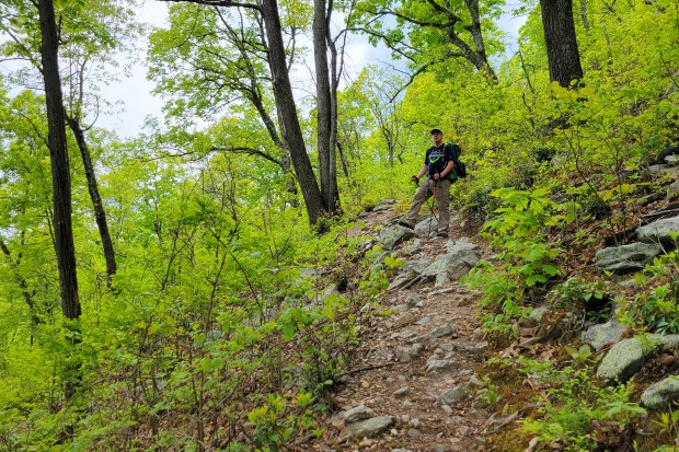
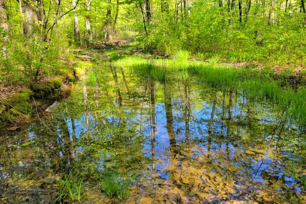
After descending for 2.2 miles, we came to another four-way junction with a campsite right next to a stream. There were already 4-5 guys there at the one spot that were setting up to camp, so we checked our water supply. Since we felt we had enough water to get us through the end of the hike and to cook with for dinner and breakfast, we decided to press on. The hike up from the creek was a very steep, narrow trail of .8 miles. With a full backpack, it made for slow work.

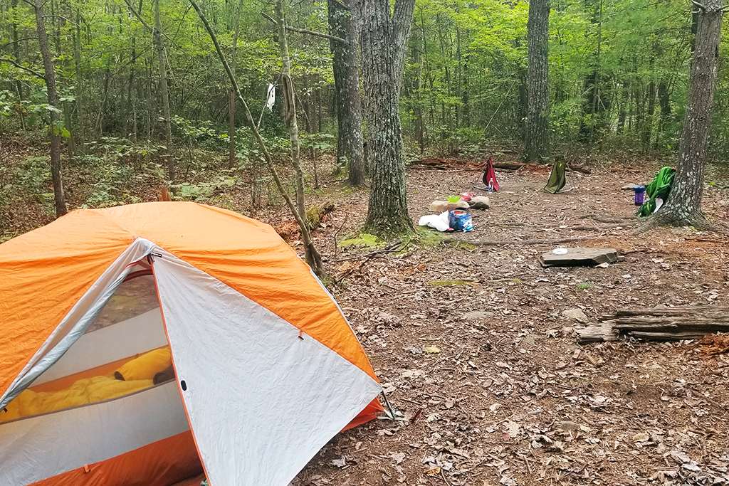
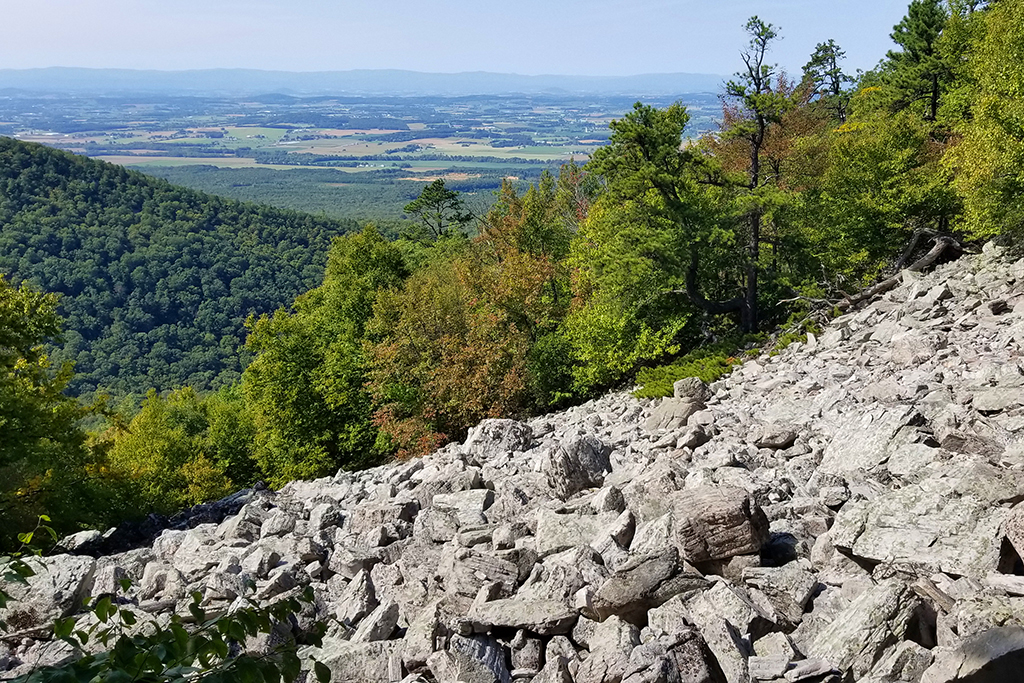
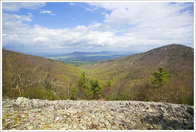
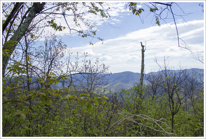
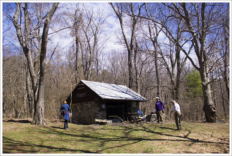
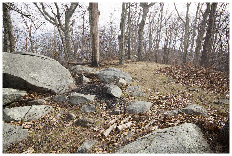
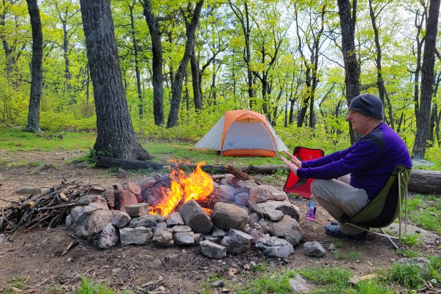
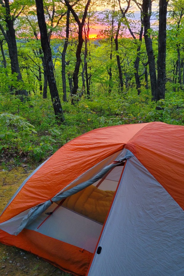
We decided to camp right at the saddle junction with the Duncan Knob trail. This area is called Peach Orchard Gap, and it has several awesome (but dry) campsites. We built a campfire and just relaxed for the rest of the afternoon and evening. Since we only did a bit over 5 miles that first day, it was a shorter trip that gave us a nice, relaxing time to enjoy our time in the woods. We decided to tackle the Duncan Knob peak the following morning where we didn’t have to haul our packs up the rock scramble.
Turn-by-Turn for Day 1
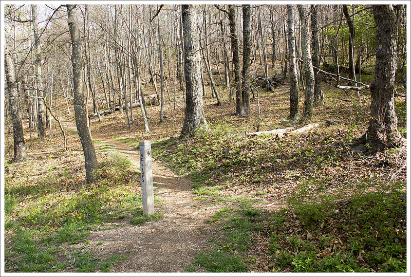
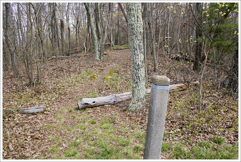
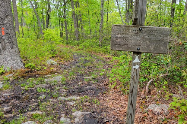
- Cross Passage Creek and hike uphill on the yellow-blazed Scothorn Gap trail for 1.5 miles to a four-way trail intersection.
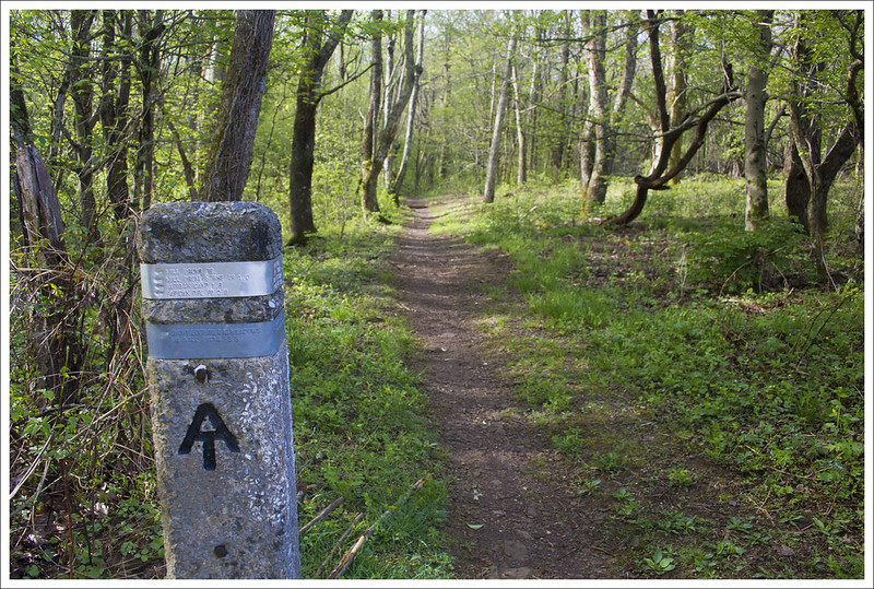
- Stay straight at the intersection, heading uphill for .7 miles on the orange-blazed Massanutten Trail. At the top of Middle Mountain, you will see the pink-blazed Strickler Knob trail on the right.
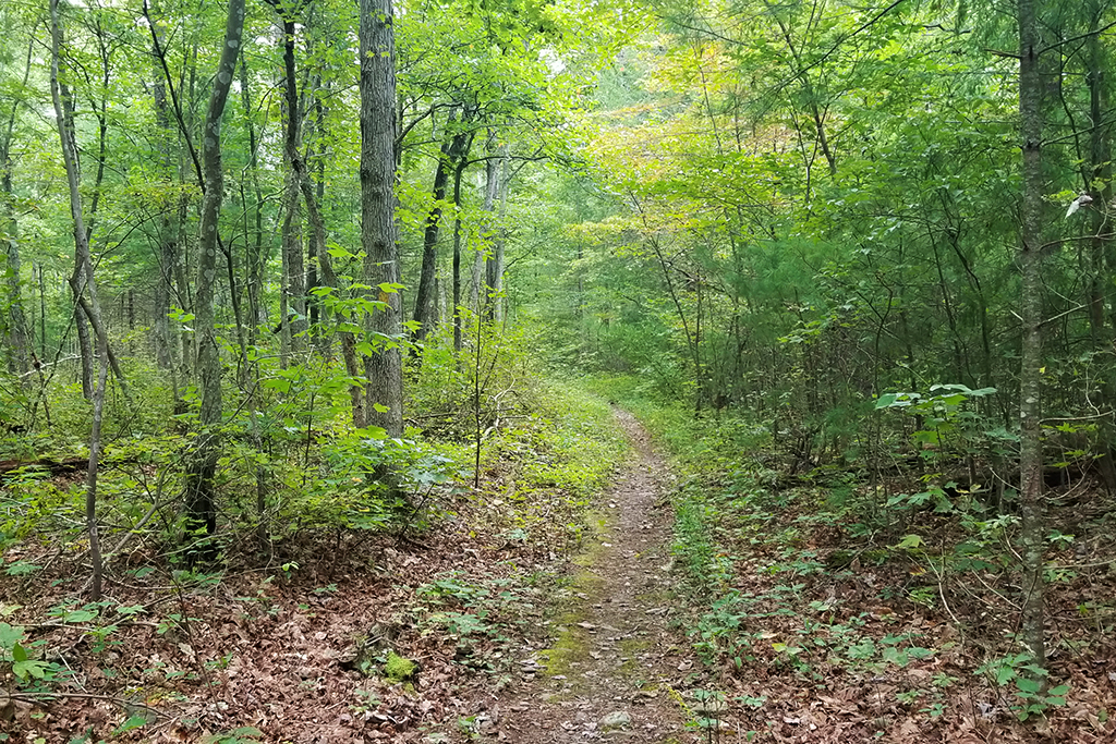
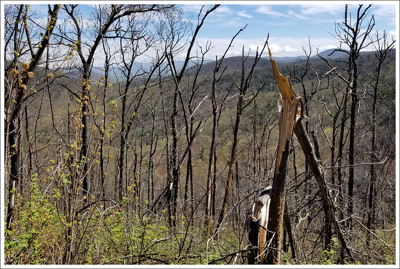
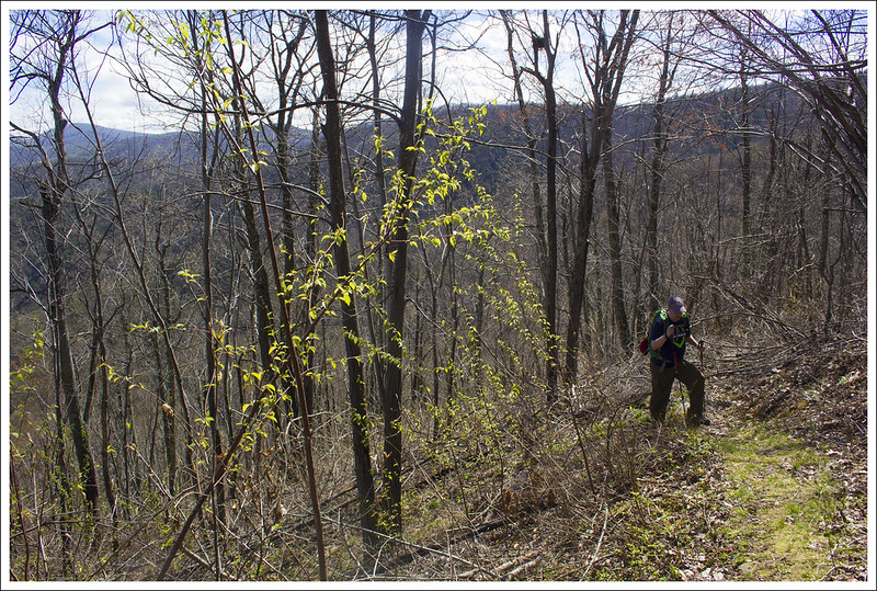
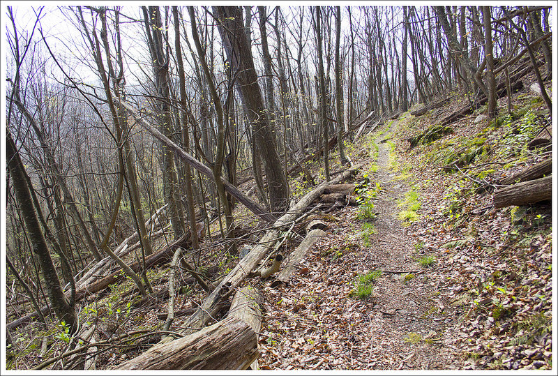
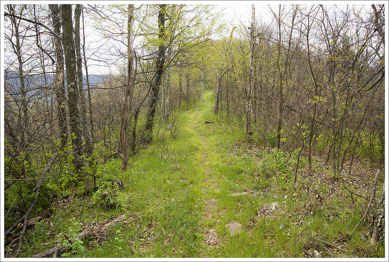
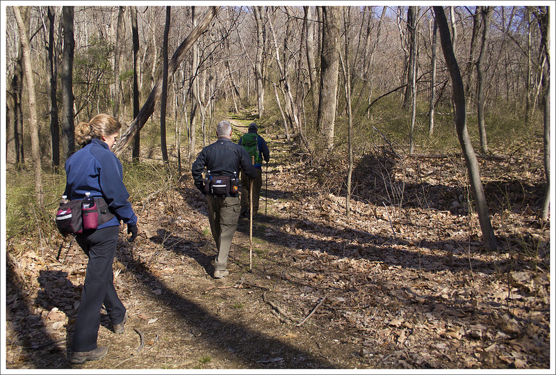
- Pass the Strickler Knob trail, and continue over the crest of Middle Mountain on the orange-blazed Massanutten Trail. Descend for 2.2 miles. Much of this section of the trail is muddy and boggy. Check yourself for ticks!
- You will reach another junction near a streamside campground. The campsite will be on the right, turn left, heading very steeply uphill on the blue-blazed Gap Creek Trail. If you plan on camping at the top, this will be your last opportunity to refill your water supply. Campsites on the ridge are dry.
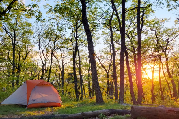
- Ascend via the Gap Creek Trail for .8 miles before the trail levels out at Peach Orchard Gap. There are several nice, flat, open campsites along this ridge. This is where we chose to stop for the day.
Christine Says (Day 2)
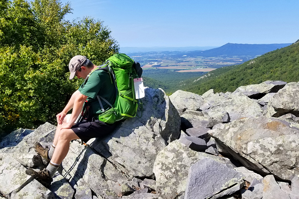
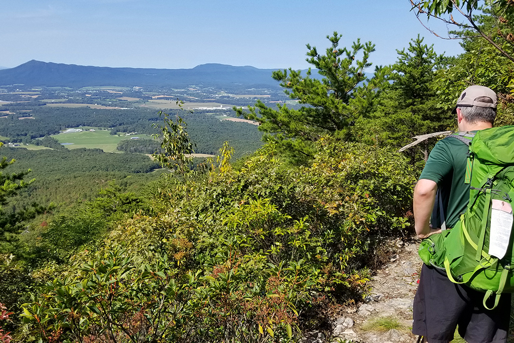
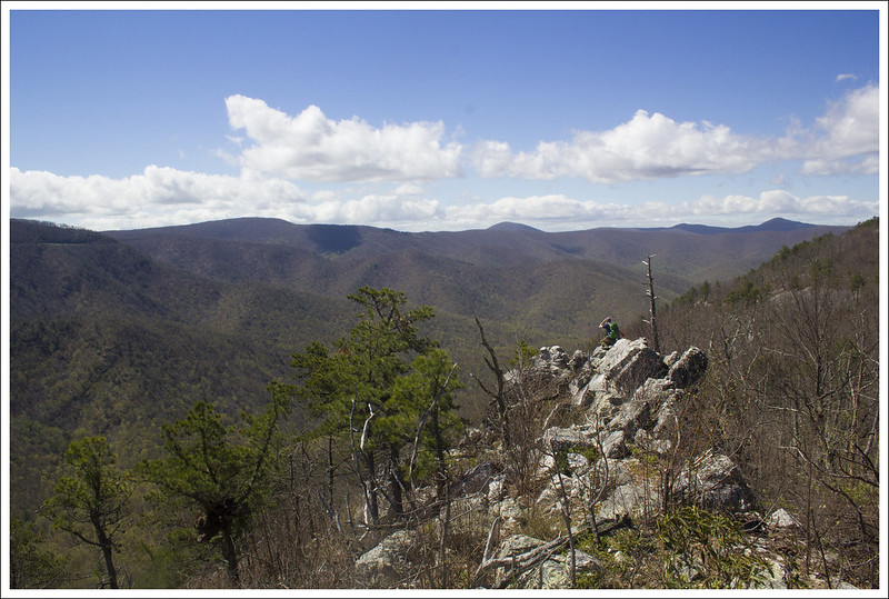
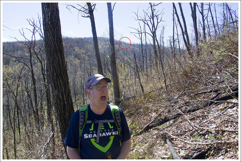
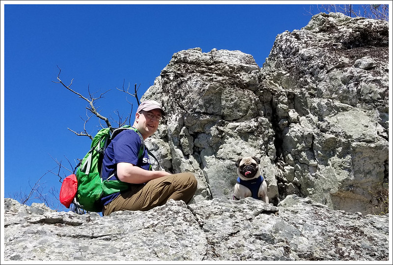
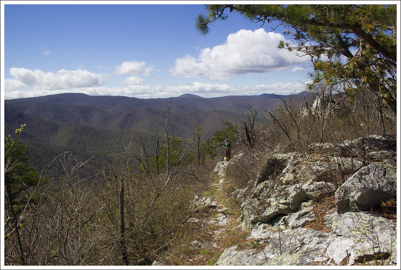
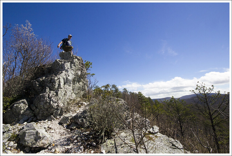
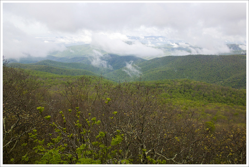
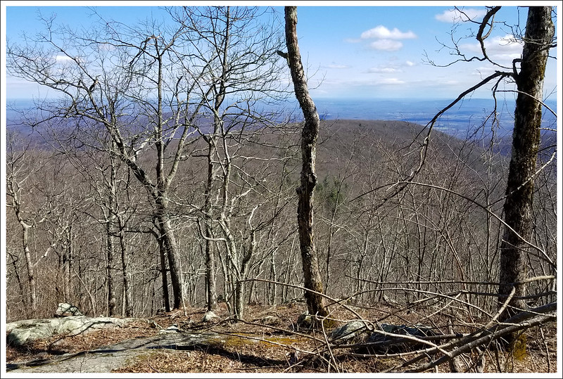
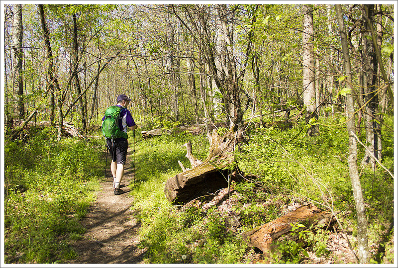
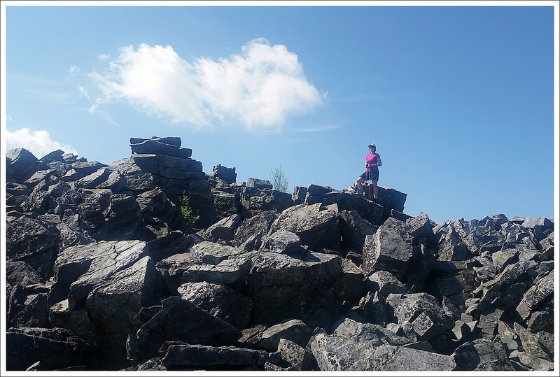
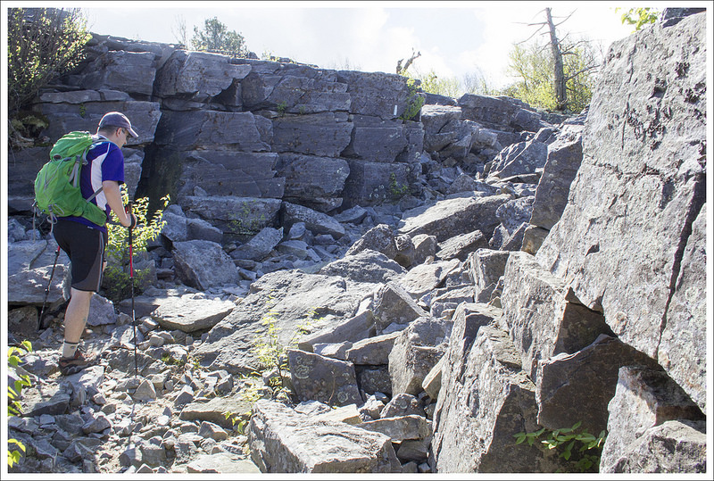
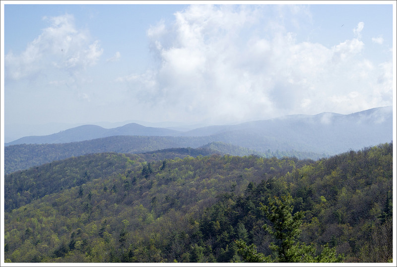
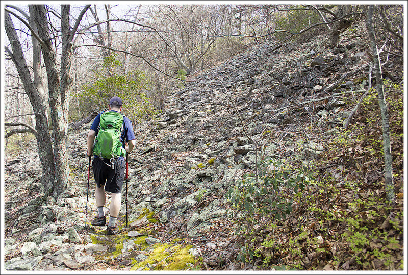
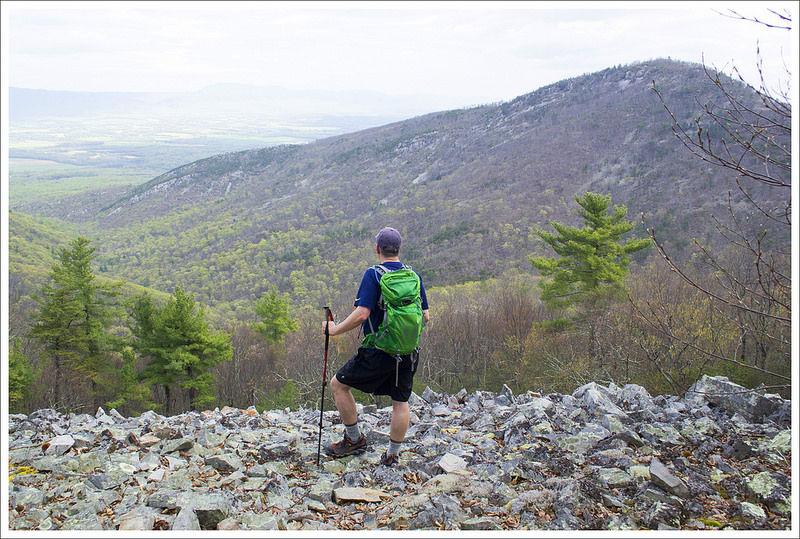
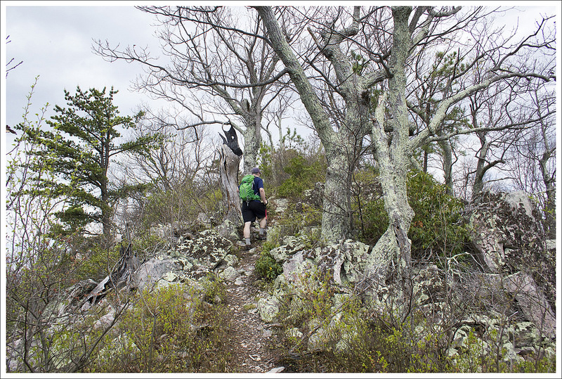
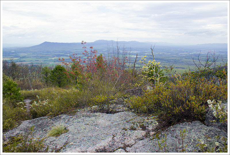
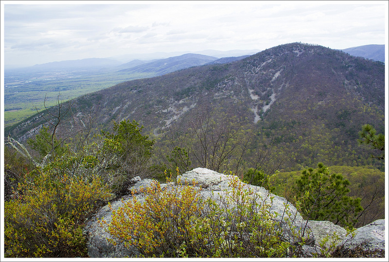
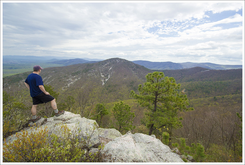
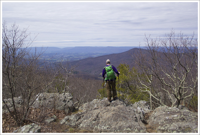
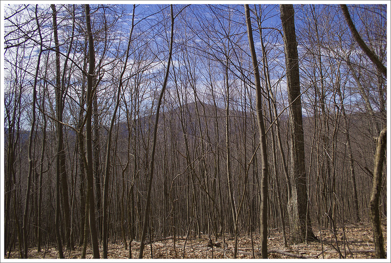
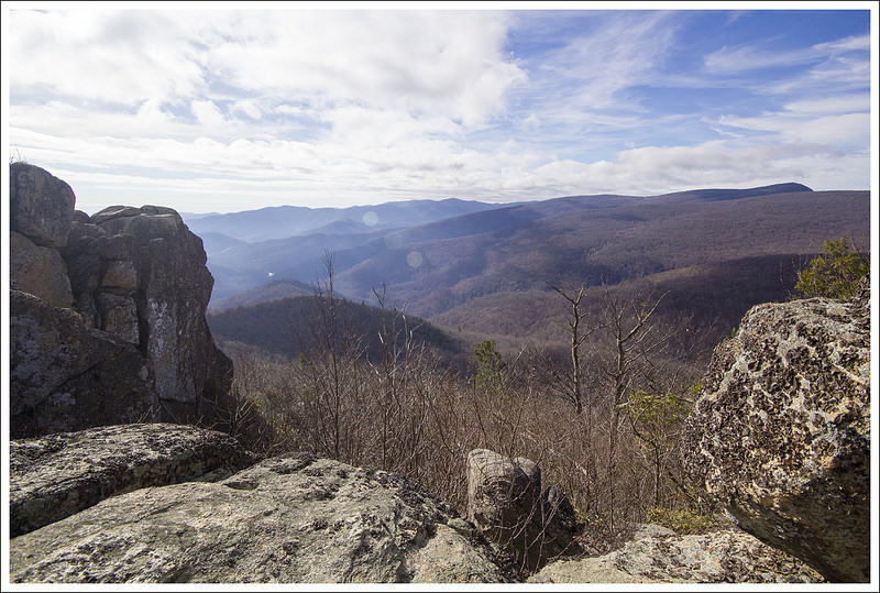
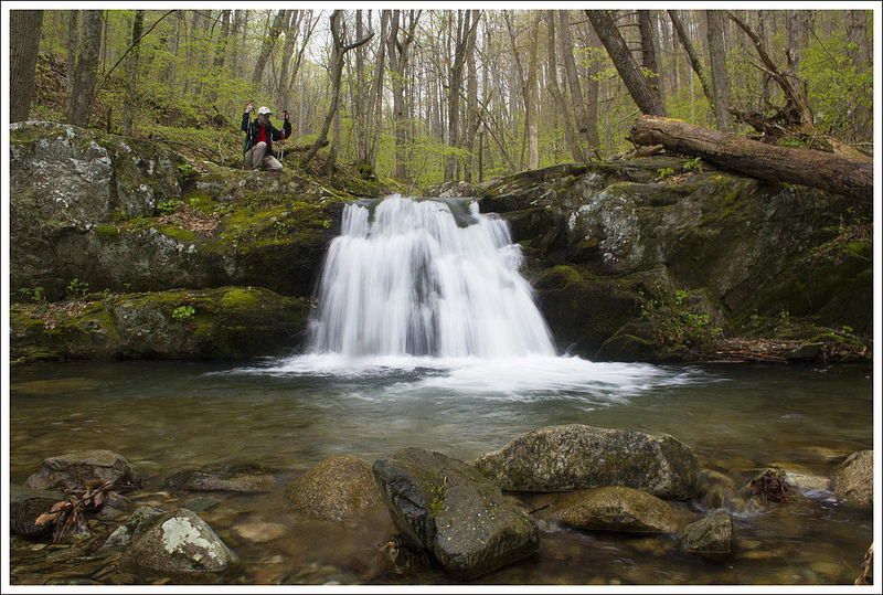
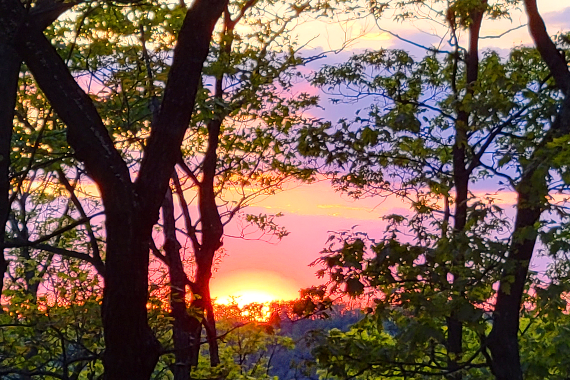
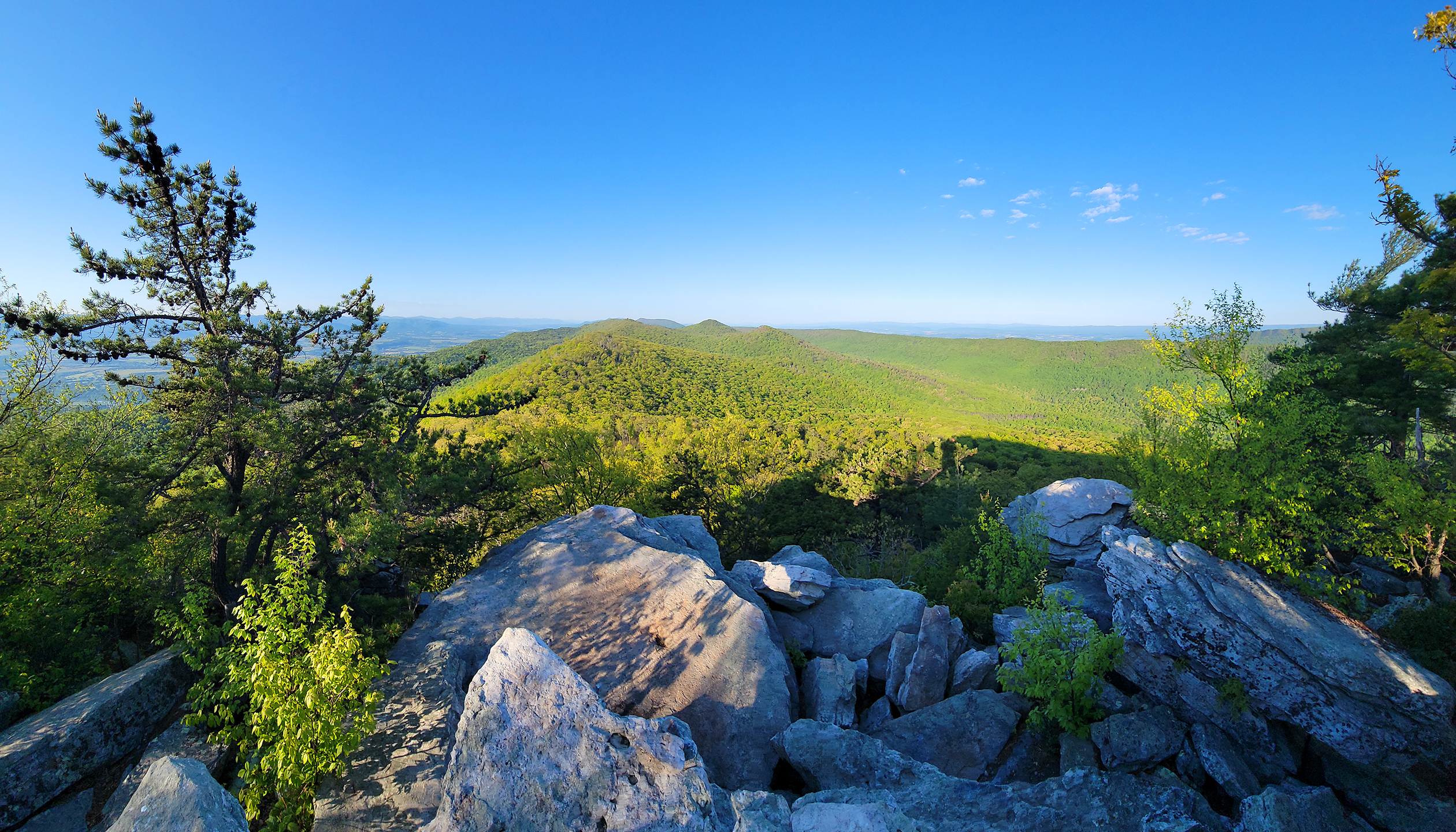
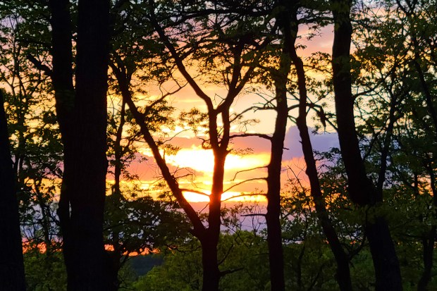
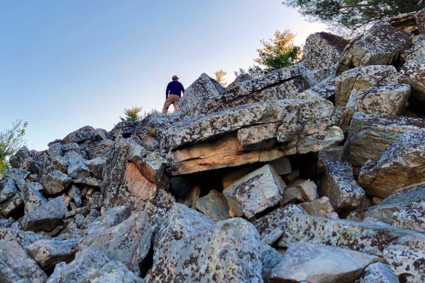
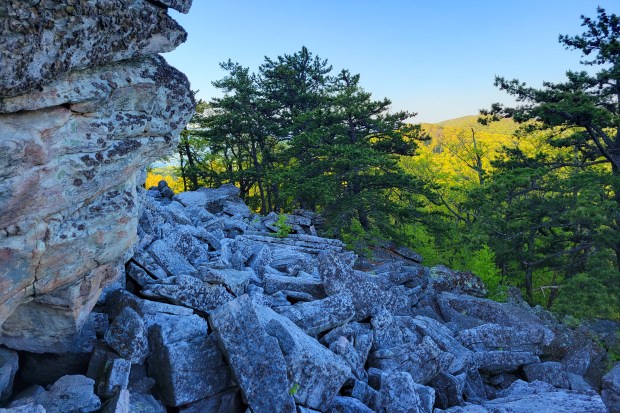
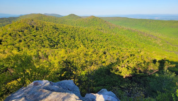
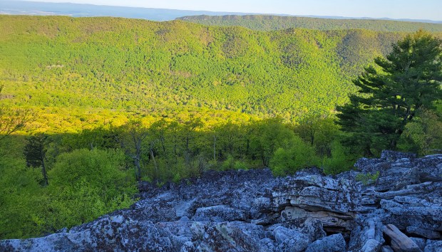
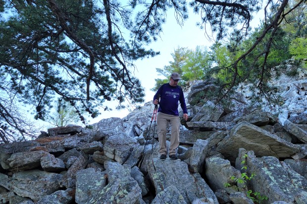
We got up with the sunrise, and hiked up to Duncan Knob without packs. It’s just a short few tenths of a mile to the rock scramble, so it was nice to leave everything behind and hike up empty-handed. As many of our regular readers know, I have chronic vertigo and don’t do well with rock scrambles. I can do them if I must, but it’s pretty scary and disorienting. I climbed about halfway up Duncan Knob’s scramble and found a nice flat rock that was high enough to provide an open view. Adam continued to the top of the knob on his own.

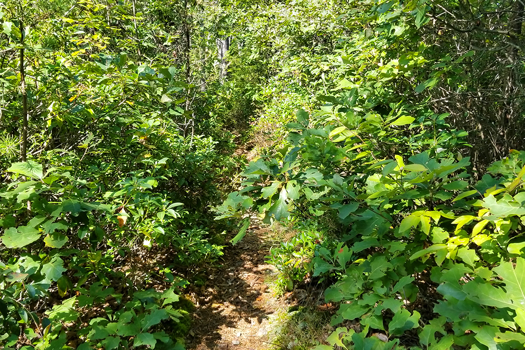
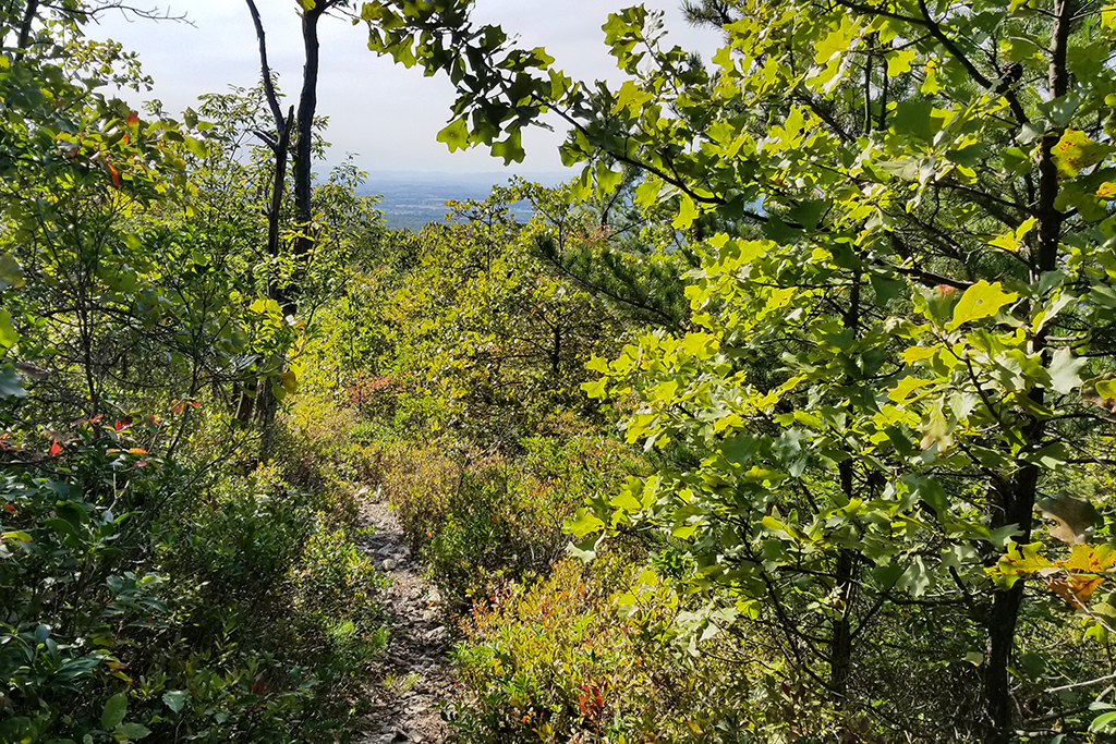
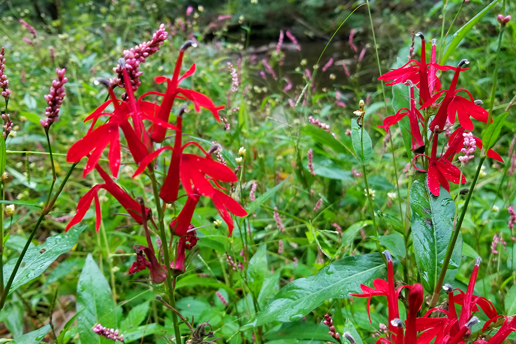
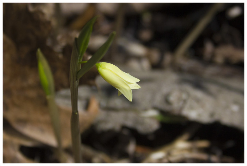
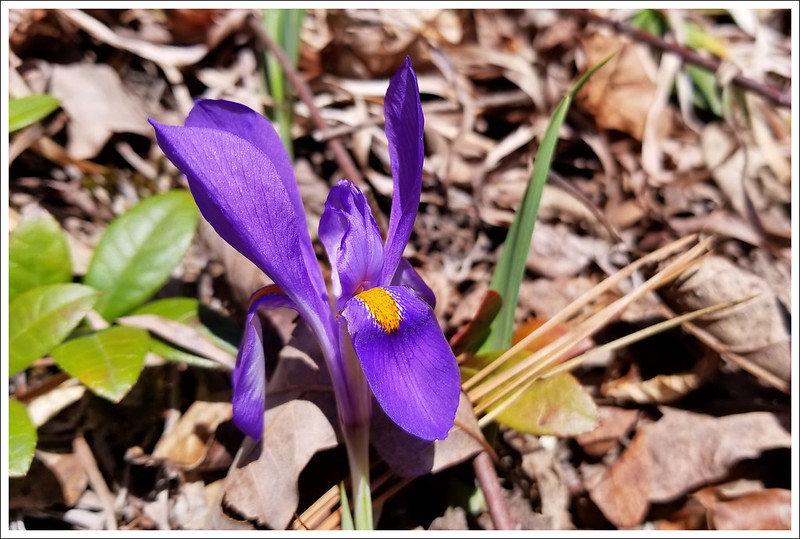
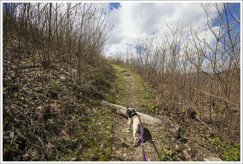
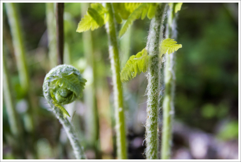
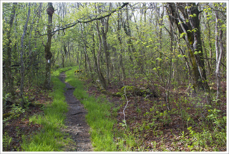
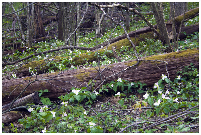
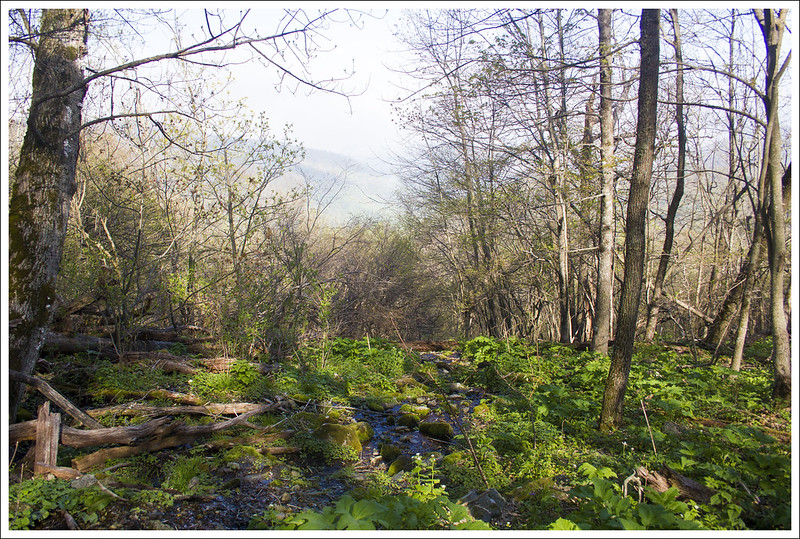
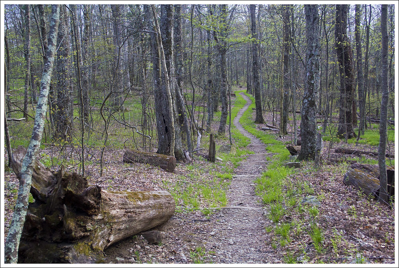
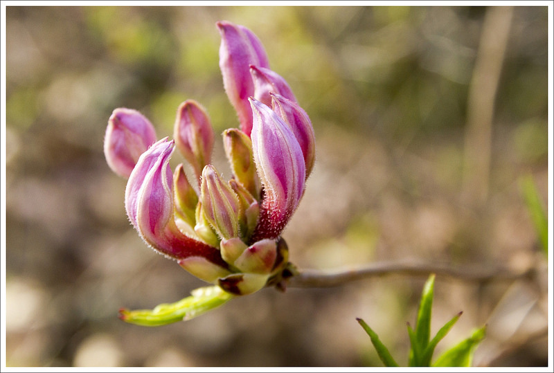
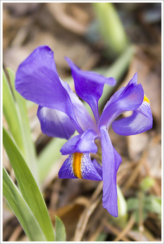
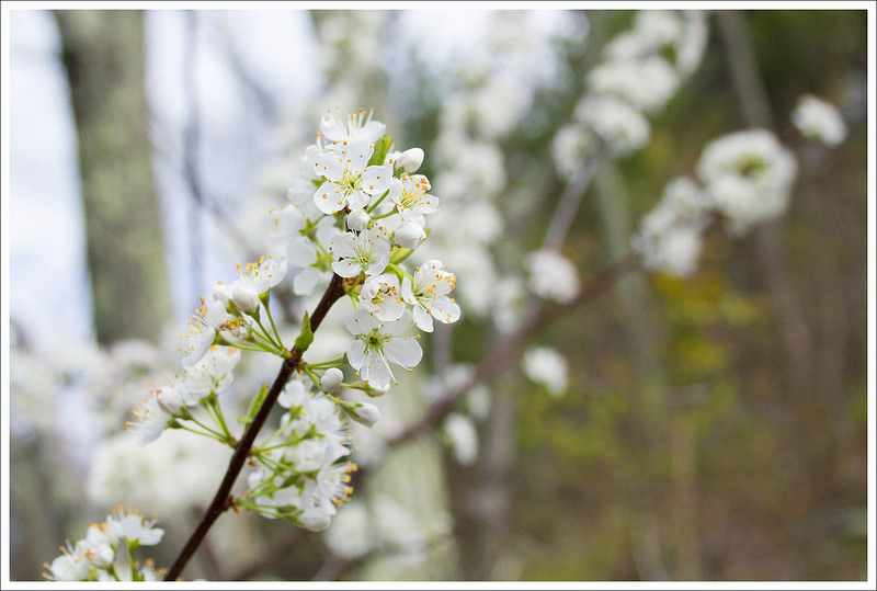
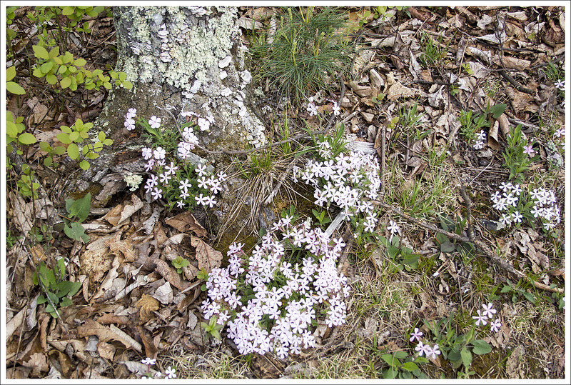
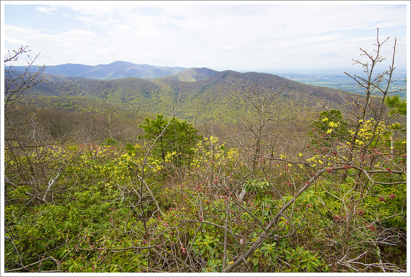
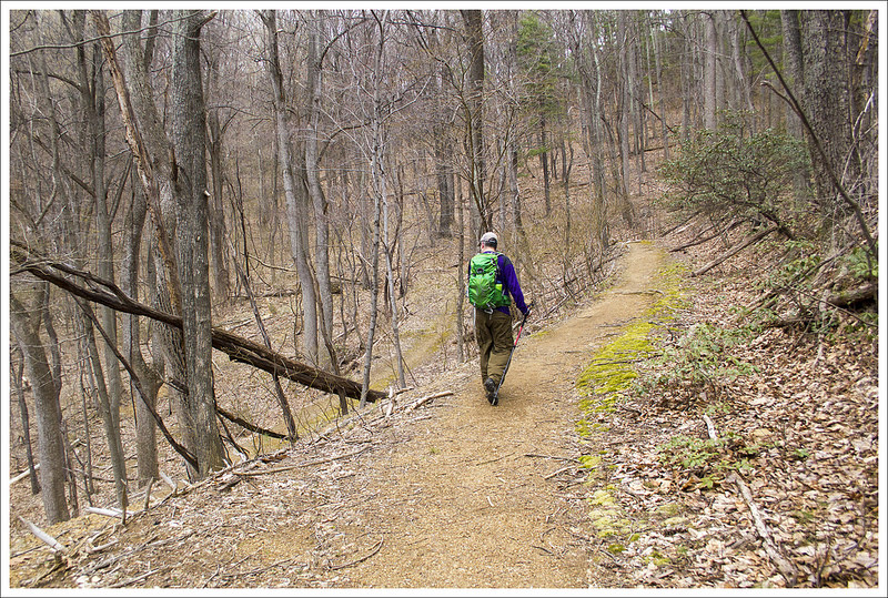
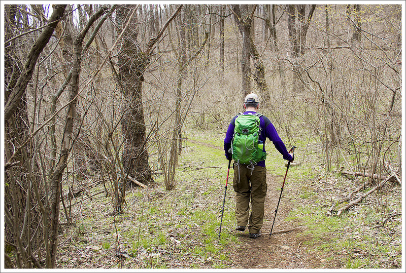
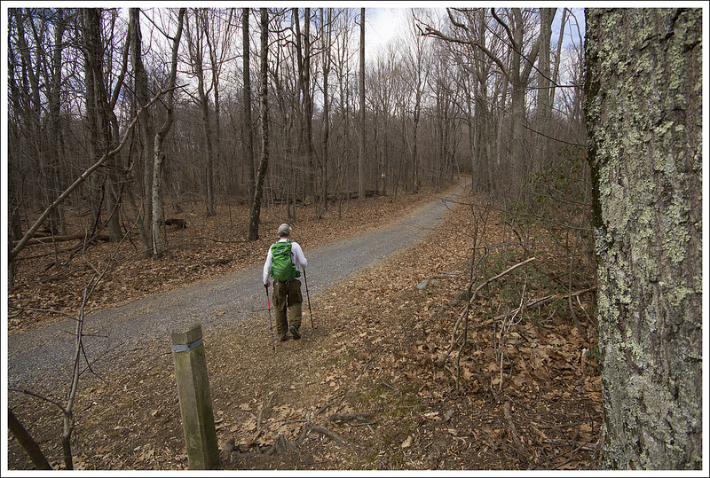
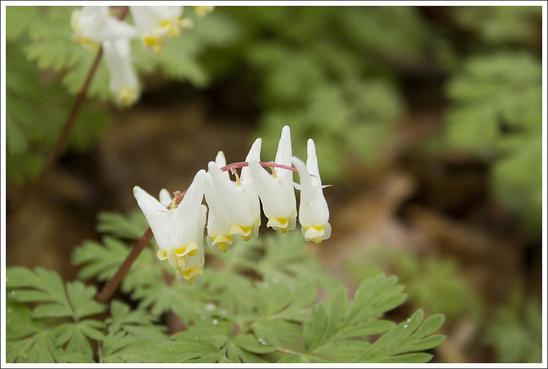
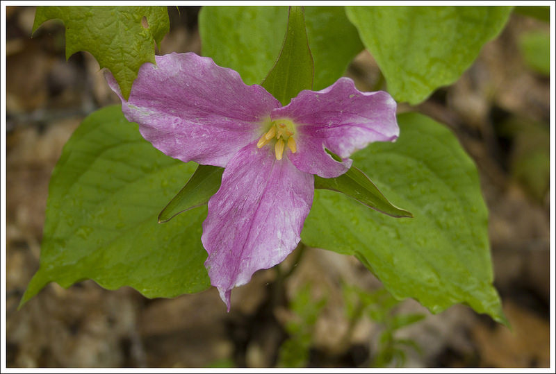
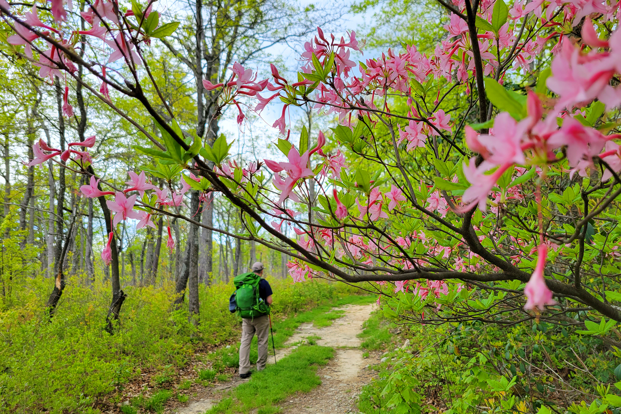
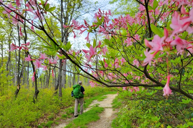
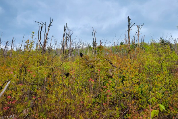
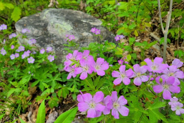
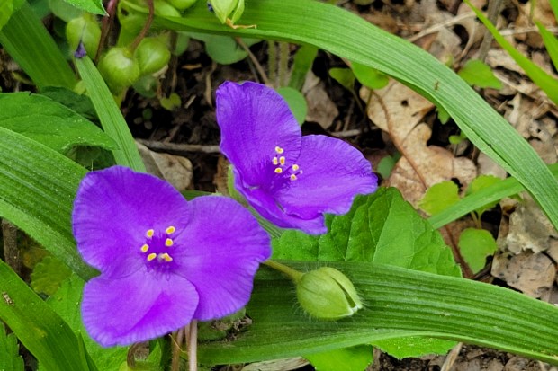
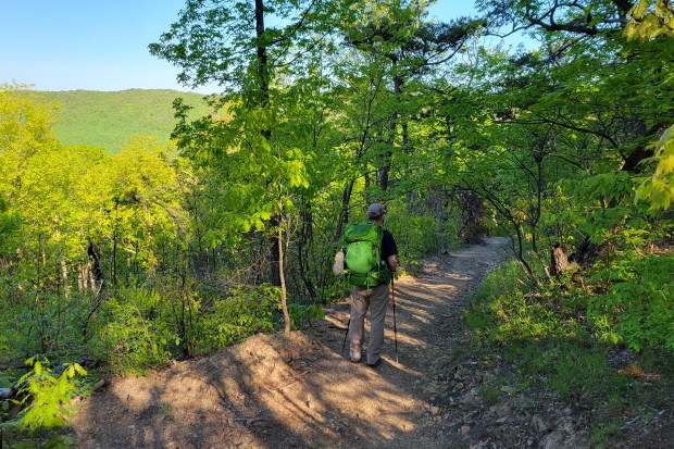
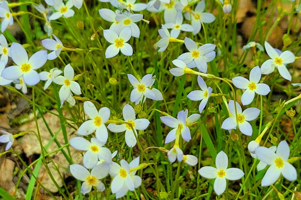
After enjoying the morning view, we headed back to our campsite at Peach Orchard Gap. We ate breakfast and broke down camp. The hiking on day two was mostly downhill or flat(ish). There were more muddy, swampy spots along the Scothorn Gap trail, but generally it was easy walking. There were plenty of native pink azaleas along the trail, and a few mountain laurels starting to get buds. Wild geraniums and spiderwort were also abundant.
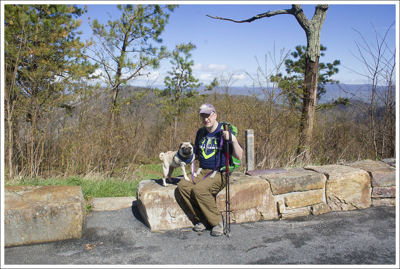
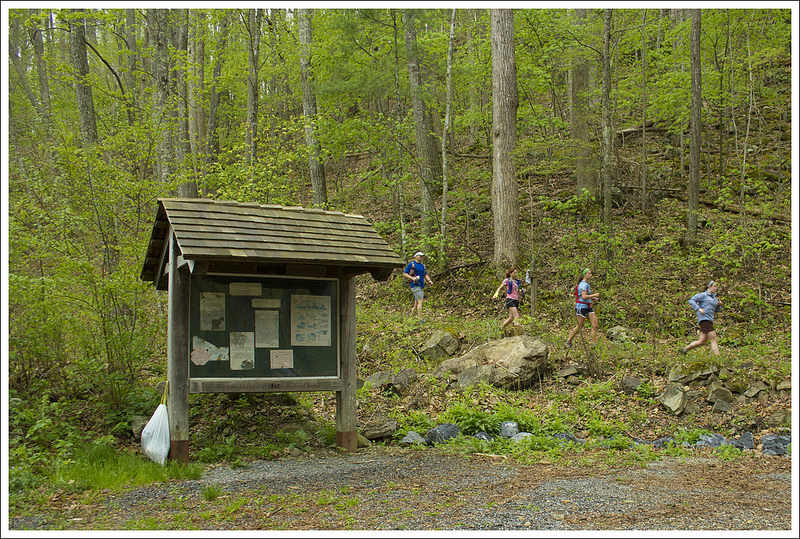
When we reached the last bit of the loop. we retraced our steps from the day before. It was the only time we really saw many people along the trail – mostly day-hikers headed up Strickler Knob. The entire distance for the second day was under 4 miles, so we were back at the car by about 9:30 a.m. We had initially planned on going to Woodstock Brewhouse for lunch and beers after the hike, but it was so early that we just went home.

Turn-by-Turn for Day 2
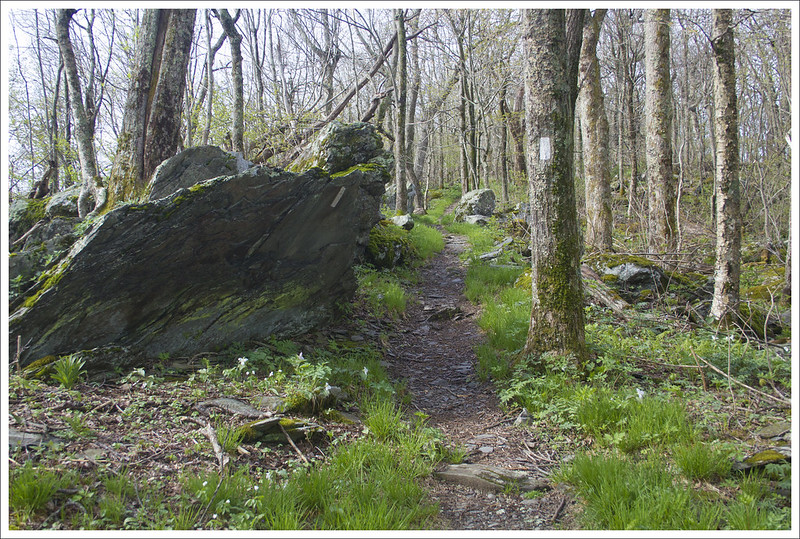
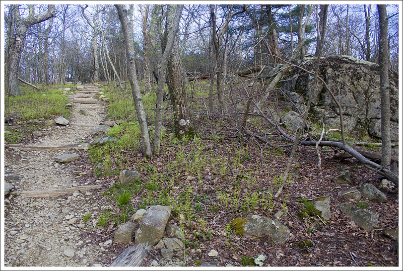
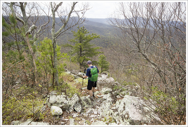
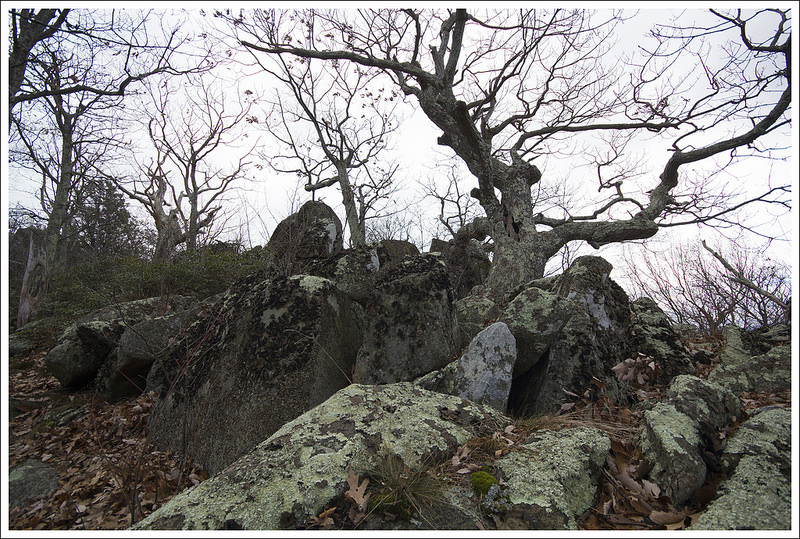
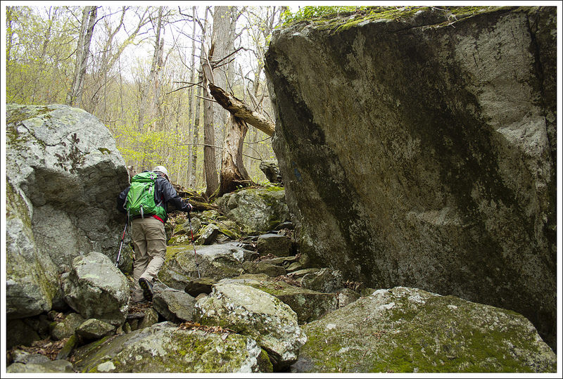
- Start out from camp, following the white-blazed Duncan Knob trail for .3 miles. The trail will become rockier before turning into a boulder jumble. Climb as far up the boulders as you wish. There are one or two small campsites at the very top.
- After enjoying Duncan Knob, retrace your steps for .3 miles back to Peach Orchard Gap.
- Turn right, heading downhill on the blue-blazed Gap Creek trail. After .3 miles, you will reach an intersection – take a left onto the yellow-blazed Scothorn Gap trail.
- Follow the Scothorn Gap trail for 1.4 miles until you come to the four-way junction you passed on Day One
- Take a right, and follow the trail 1.5 miles back to your vehicle.
Trail Notes
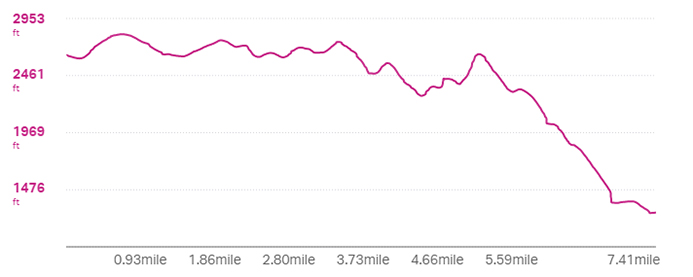
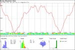
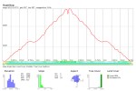
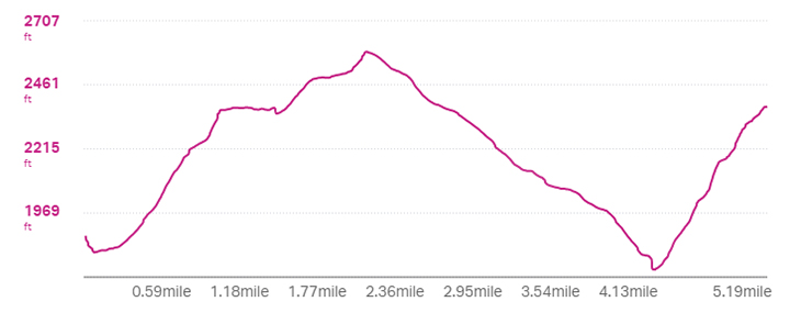
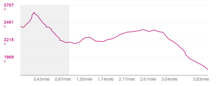
- Distance – 9 miles (5.2 on Day 1, 3.8 on Day 2)
- Elevation Change – 1780 ft. (1370′ on Day 1, 410′ on Day 2)
- Difficulty – 3. This is an overall moderate hike with a couple steep sections. There is one section right before you reach camp on Day One that requires a steep 700′ climb in less than .75 miles.
- Trail Conditions – 3. There are some sections that are very boggy/muddy and some parts with quite a bit of loose rock.
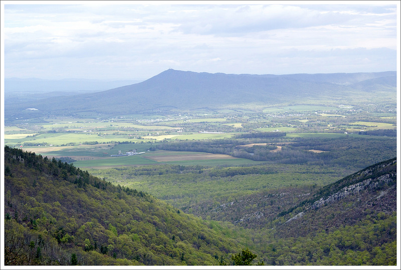
- Views – 4. Duncan Knob is a pretty nice vista, but you have to climb all the way to the top of the scramble to get open views. Not all hikers will choose to climb the full scramble.
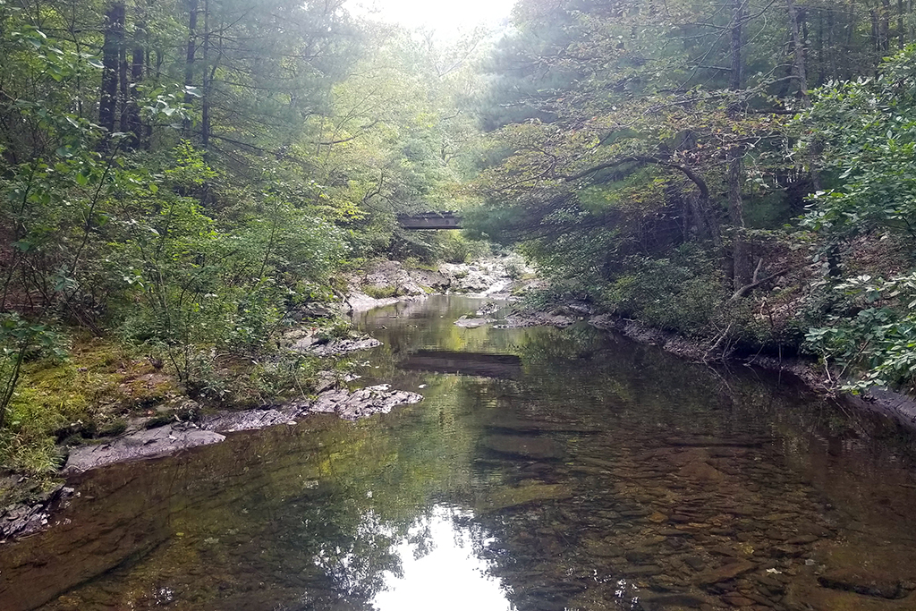
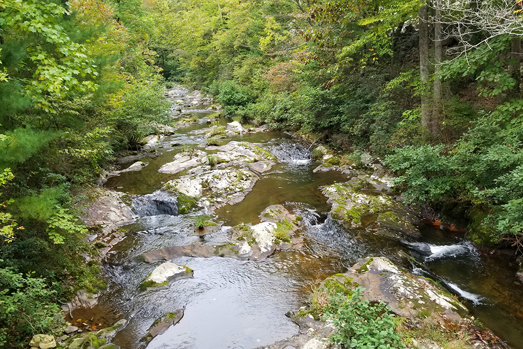
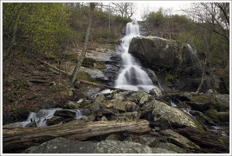
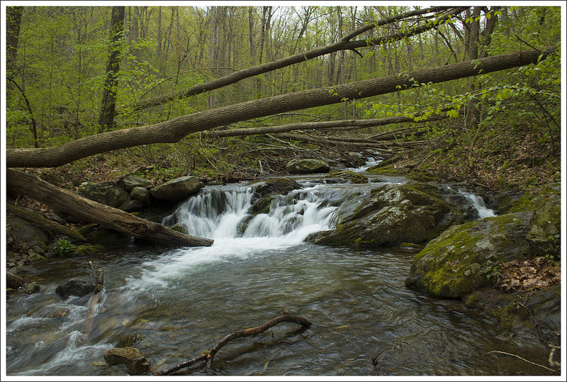
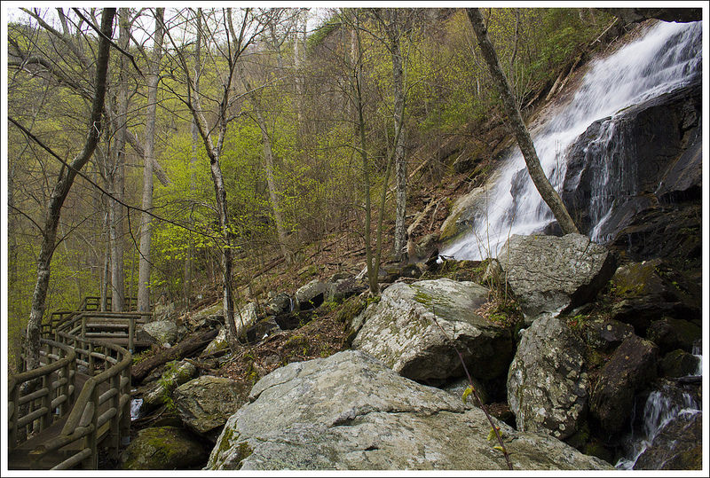
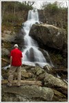
- Streams/Waterfalls – 2. There are lots of small feeder streams along the route (may be dry certain times of the year). The beginning of the hike crosses Passage Creek. Camping near Duncan Knob is DRY. Fill up before climbing, or carry sufficient water if you plan to camp near the top.
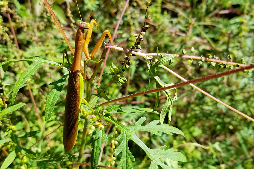
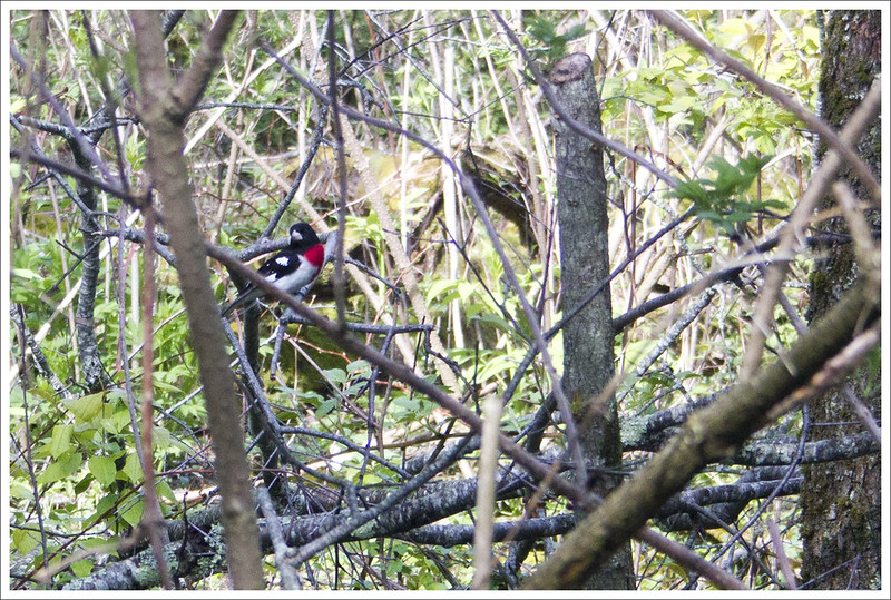
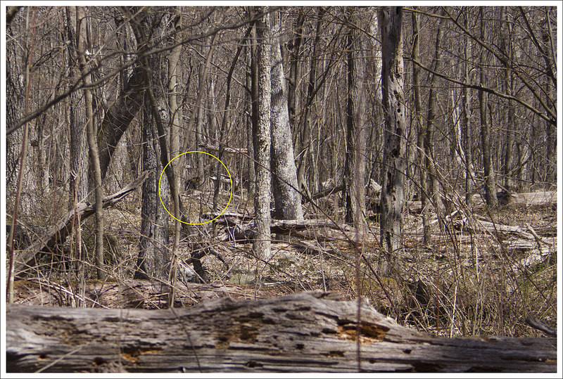
- Wildlife – 3. We saw several turkeys and saw coyote scat.
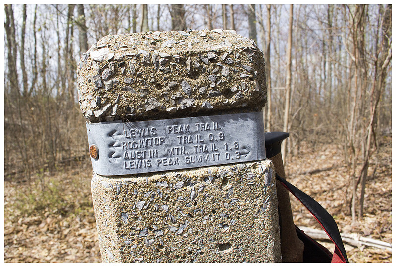
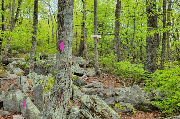
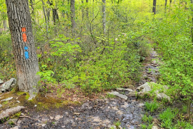
- Ease to Navigate – 5. The trail is very well marked and easy to follow. When we hiked in 2021, there were fresh and abundant blazes.
- Solitude – 4. We hiked on a beautiful Friday-Saturday and only saw a few people until we got close to the car on Day Two. On Day Two, we saw many people ascending the Scothorn Gap trail toward Strickler Knob.
All Photos


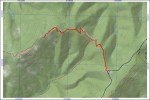
Maps
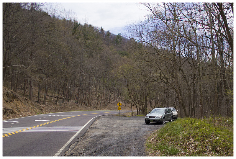
Directions to trailhead: The parking lot is the Scothorn Gap trailhead on Crisman Hollow Rd. GPS coordinates: 38.69143, -78.58004