View all the photos from this hike
Christine Says (Day 1)
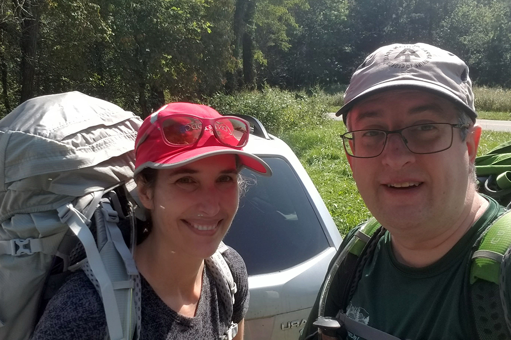
We did this hike mid-week in September to celebrate my birthday! It was our only backpacking trip together in all of 2020. We did get out to car camp once earlier in the year, and I went backpacking in the fall with a girlfriend. But, overall 2020 was definitely the least I’ve hiked and backpacked in many, many years. The pandemic made traveling difficult and honestly… trails were so overcrowded with new hikers that it just wasn’t that enjoyable to hike most of the time.
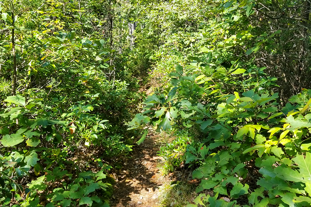
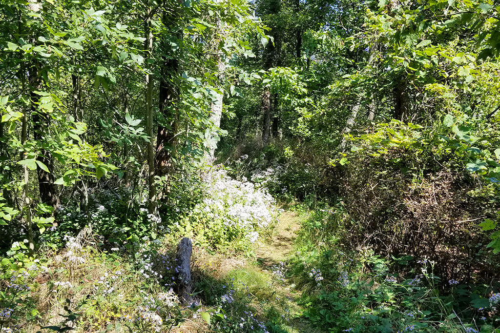
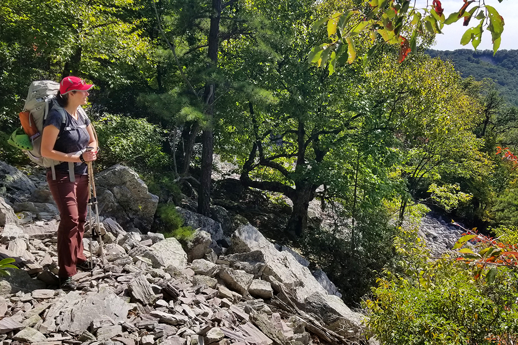
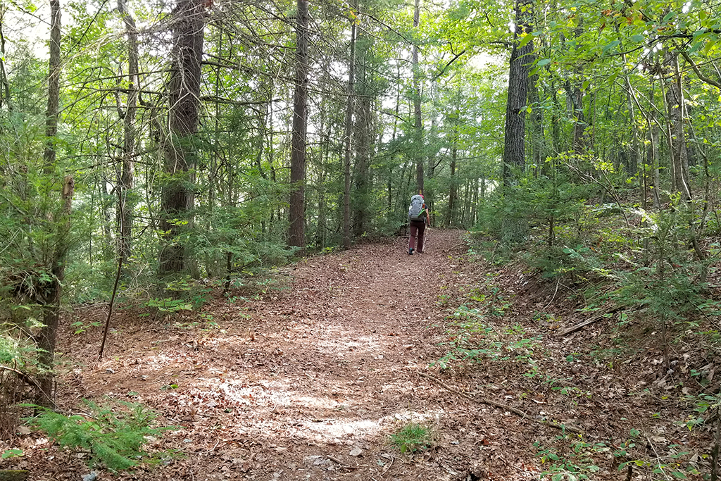
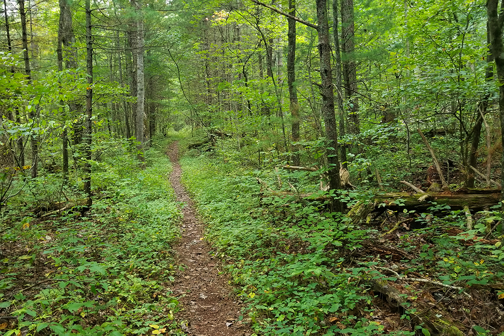
We picked this area because it’s less visited than most other parts of the park, and we had never done this particular loop before. The trail was relatively easy until we passed the junction with the Lewis Mountain Trail. From there until we reached the Big Run basin, the trail was extremely rocky and overgrown. Parts of the trail are not really even trail – it’s just blazes and talus slopes.
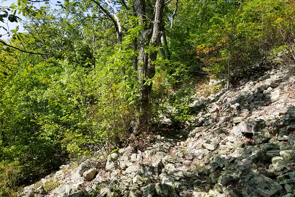
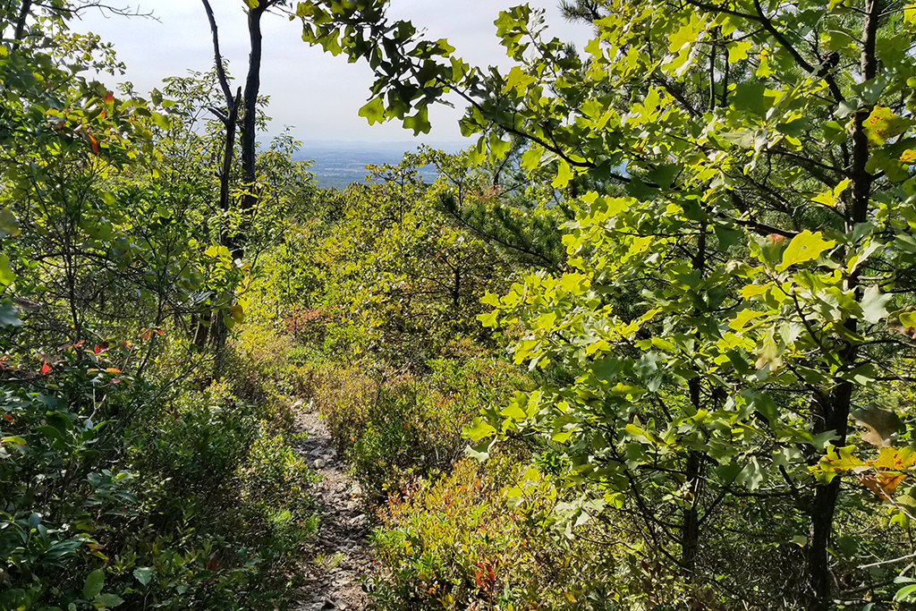
The low foot traffic on this trail meant that tree limbs and undergrowth impeded our progress. My clothes kept catching on thorns and branches, and I had to stay on high alert for back-swinging branches that Adam passed first. Despite the challenging and rugged terrain, there were excellent views along the trail. I especially liked the long descent toward Big Run. Forest fires over recent years have left open vistas from the trail. It’s like walking on a balcony affixed to the side of a mountain; with continual views as you go.
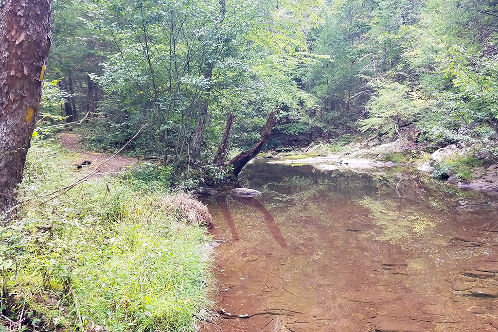
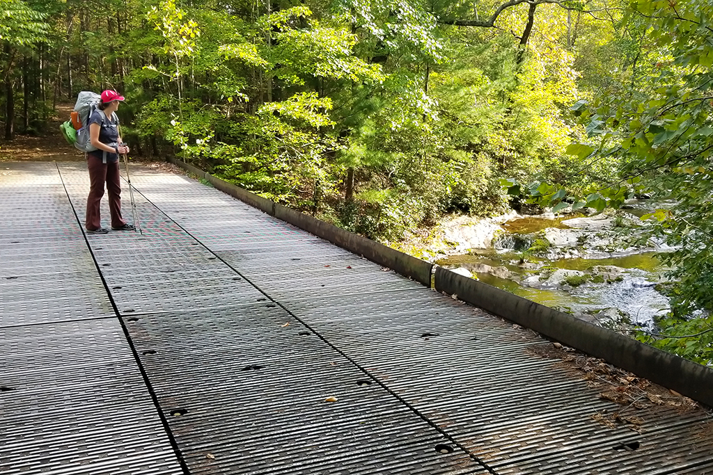
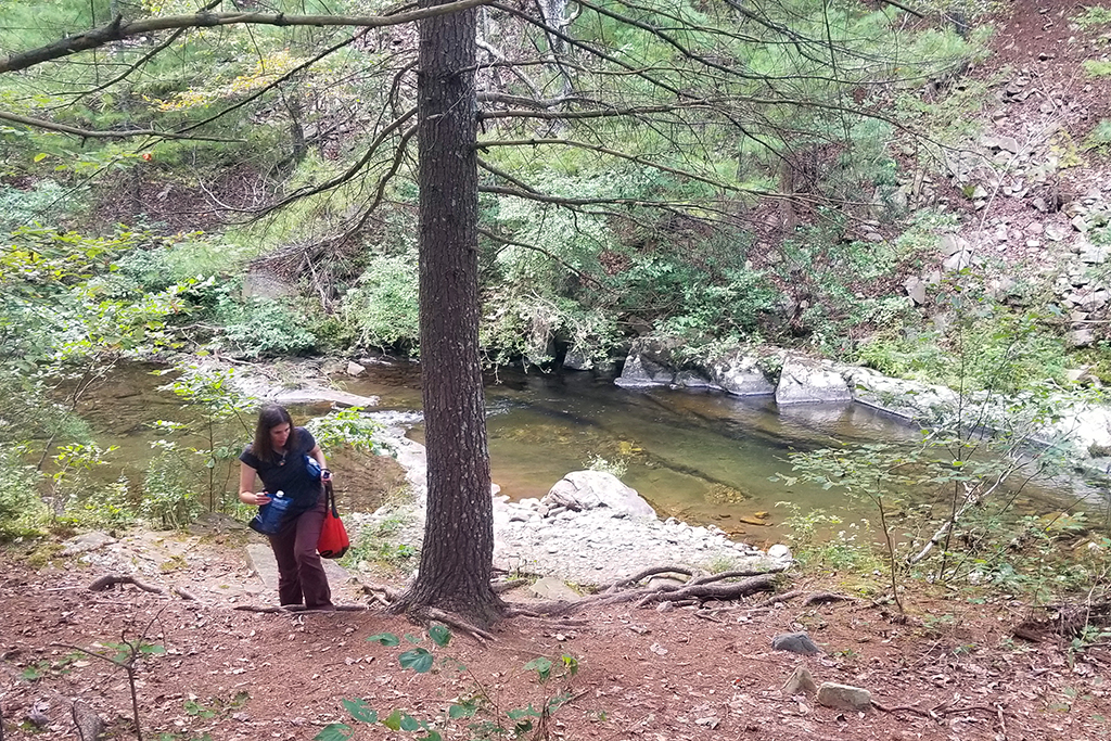
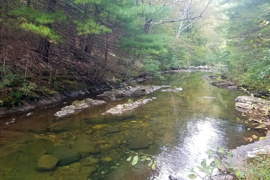
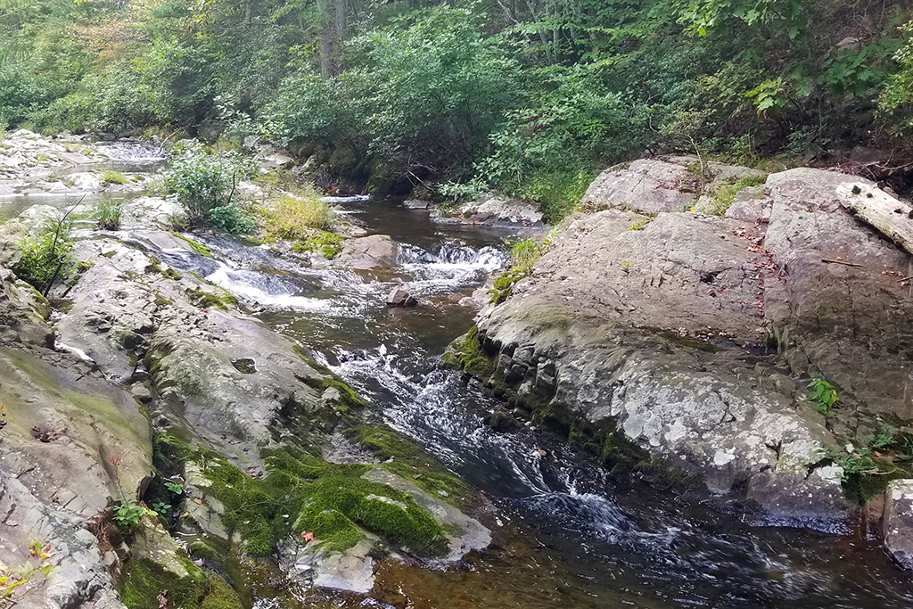
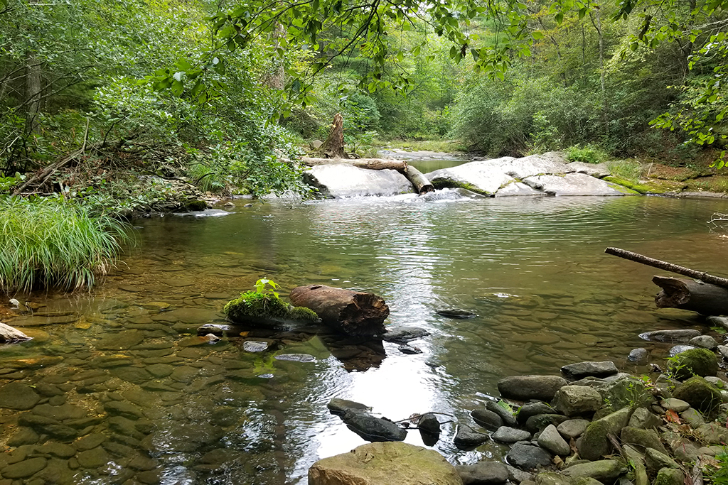
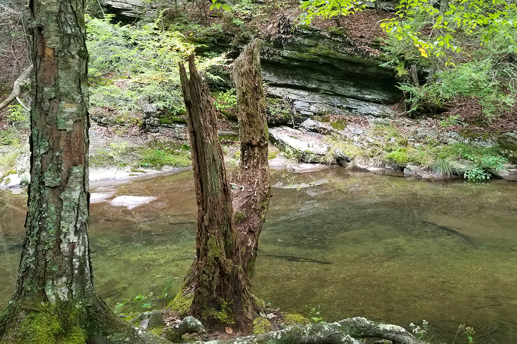
We were both pretty tired of rocky footing by the time we got to the old road bed of the Big Run Portal. After crossing the metal bridge over Big Run, we explored an unmarked footpath paralleling the stream and found excellent campsites. The sites were clear and flat, and nicely distanced from the stream (backcountry regulations for Shenandoah dictate that you must be 10 yards from a stream.)
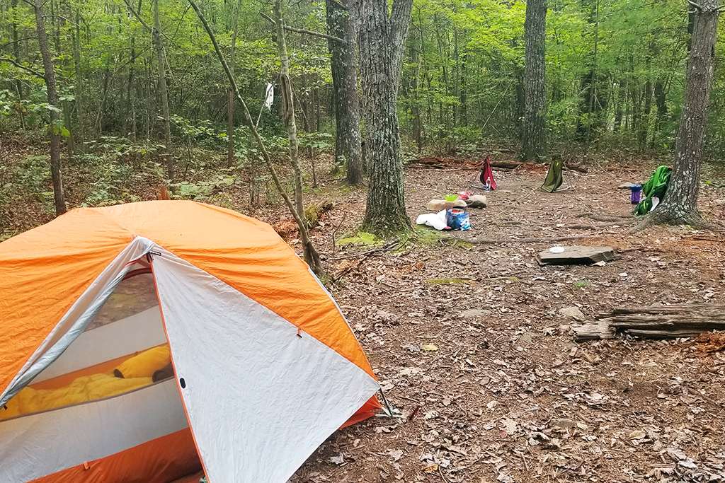
We set up camp. Adam got to try his UGQ quilt for the first time, and I got to test my Nemo Tensor pad. We collected water from the stream and found our Sawyer Squeeze completely clogged (probably leftover from silty water sources we used on our trip out west in 2019) We ended up having to treat our water with Aquamira. I always carry it as a backup in case my filter malfunctions. We had freeze-dried meals for dinner – sweet and sour chicken and risotto with chicken. They were both Backpackers Pantry, which I’ve decided is my least favorite brand of backpacking meal. For dessert, I had carefully packed two pieces of leftover birthday cake in a crush-proof container. Yum! We carried our small bear canister on this trip to save the hassle of doing a bear hang.
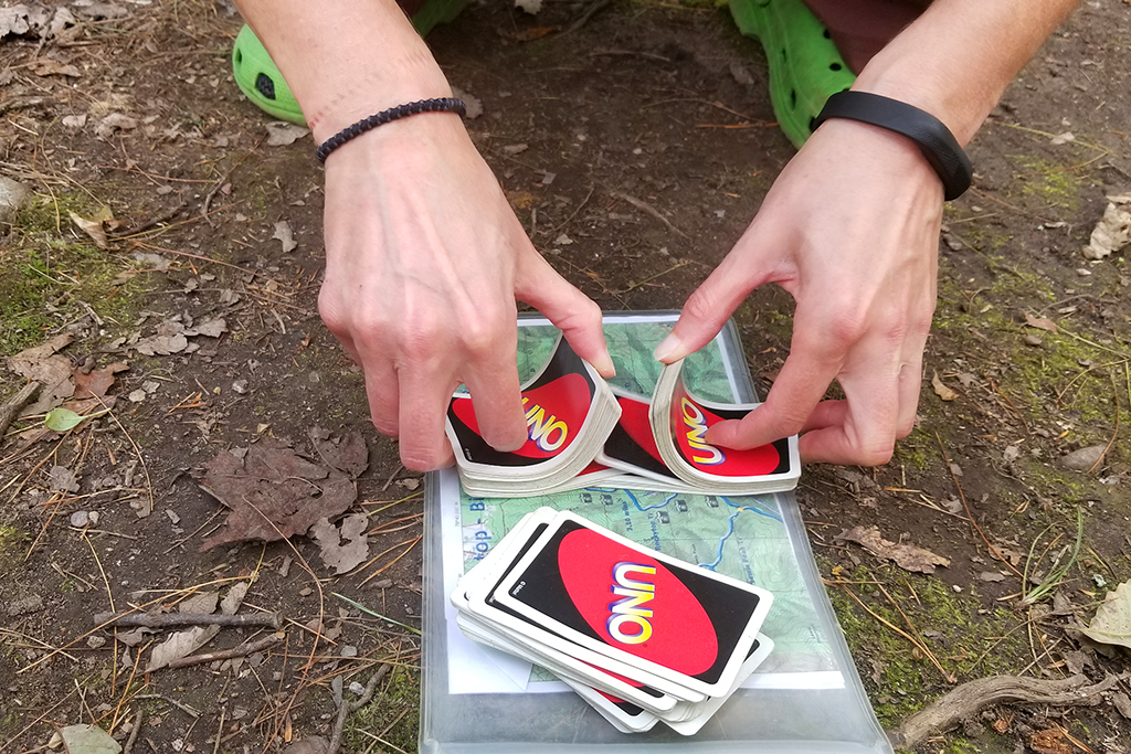
We played many rounds of Uno until the sun went down and then retired to the tent to read.

Turn-by-Turn for Day 1
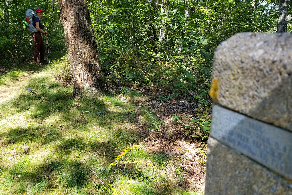
- Follow the AT north from the parking lot at Browns Gap (around MM 83 of Skyline Drive) for about .6 miles.
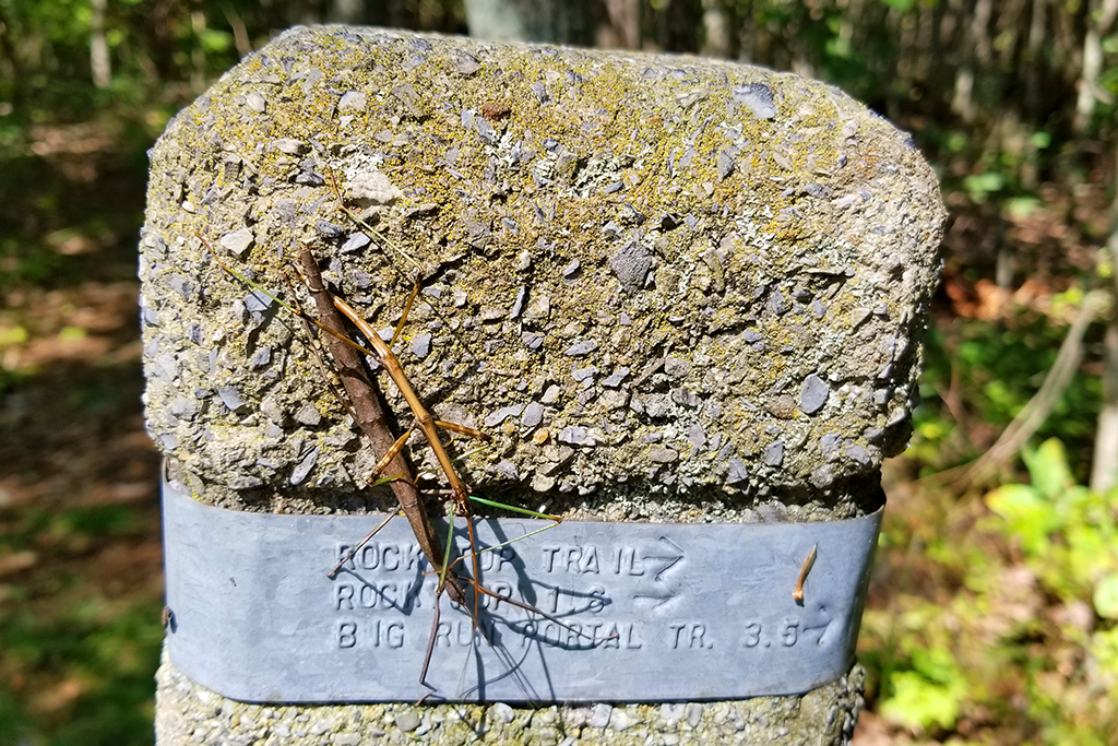
- Look for the cement post marking the blue-blazed Big Run Trail, turn left.
- Follow the Big Run Trail for .65 miles to a four-way intersection
- Follow the trail straight onto the blue-blazed Rockytop Trail
- Pass the junction of the Austin Mountain Trail in .4 miles (staying on Rockytop)
- Pass the junction of the Lewis Mountain Trail in 1.8 miles (staying on Rockytop)
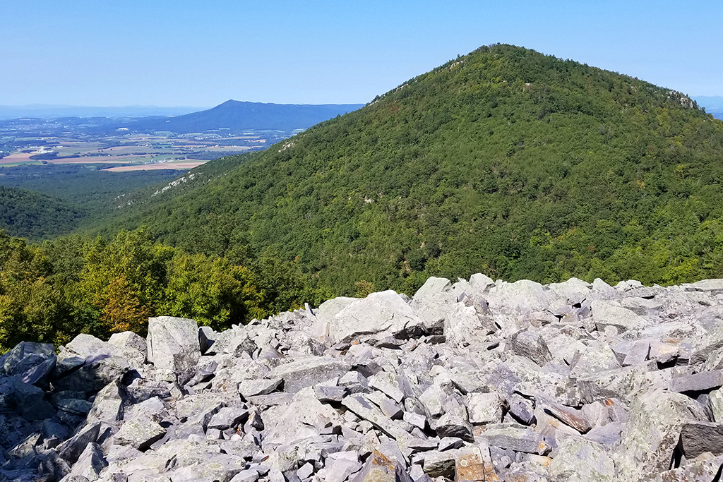
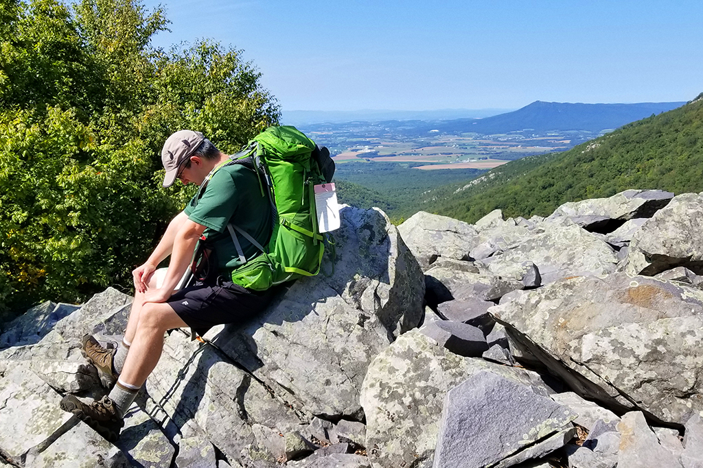
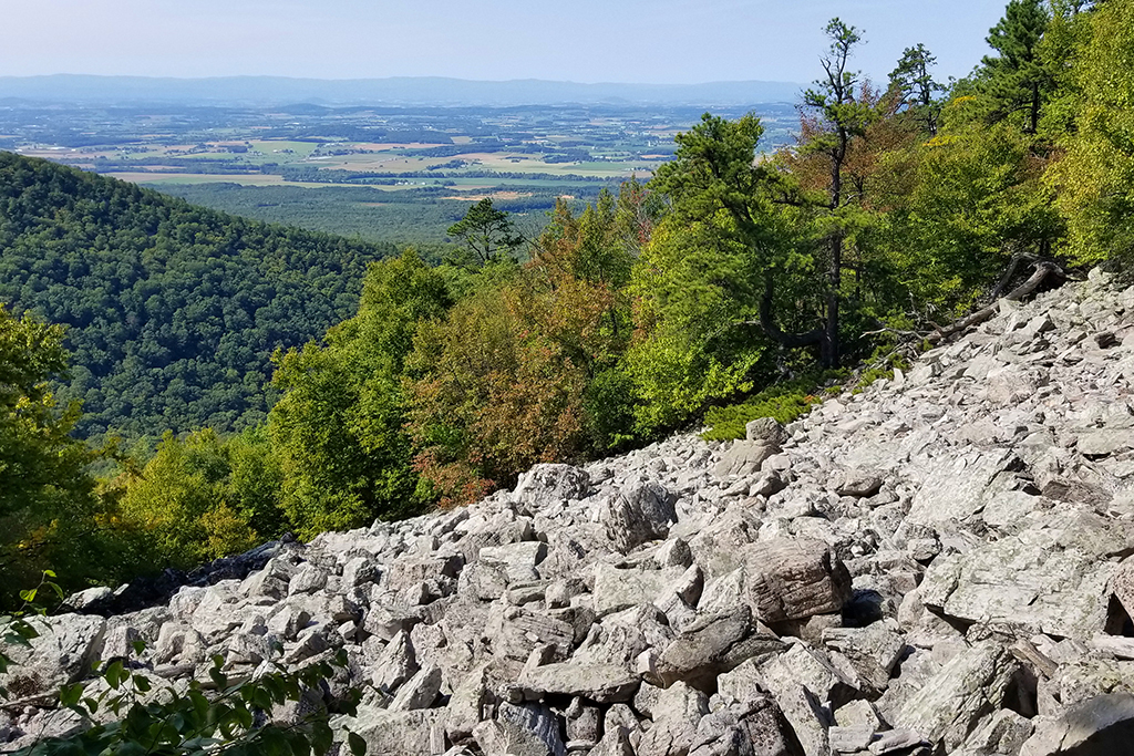
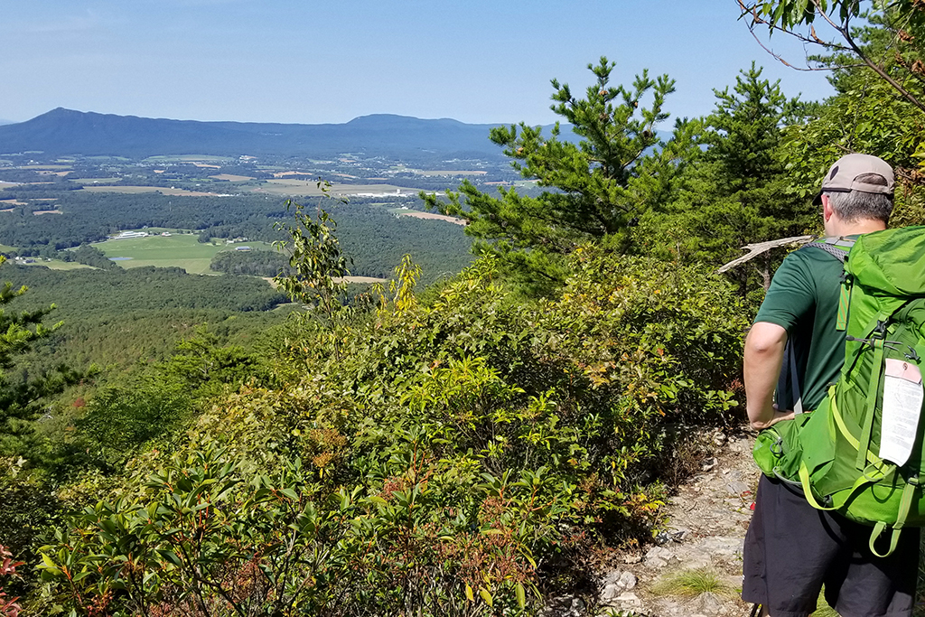
- Follow the Rockytop Trail for another 3.5 miles, crossing many talus slopes with westward views showcasing Massanutten Mountain and Lewis Peak. The last two miles is a long (almost 1500′) descent into the Big Run basin.
- At the bottom of the descent, turn right onto the yellow-blazed Big Run Portal Trail. It follows an old roadbed for about a half mile until you reach a large, sturdy metal bridge over Big Run.
- Look for campsites after the bridge crossing – there are many and they’re all quite nice!
Adam Says (Day 2)
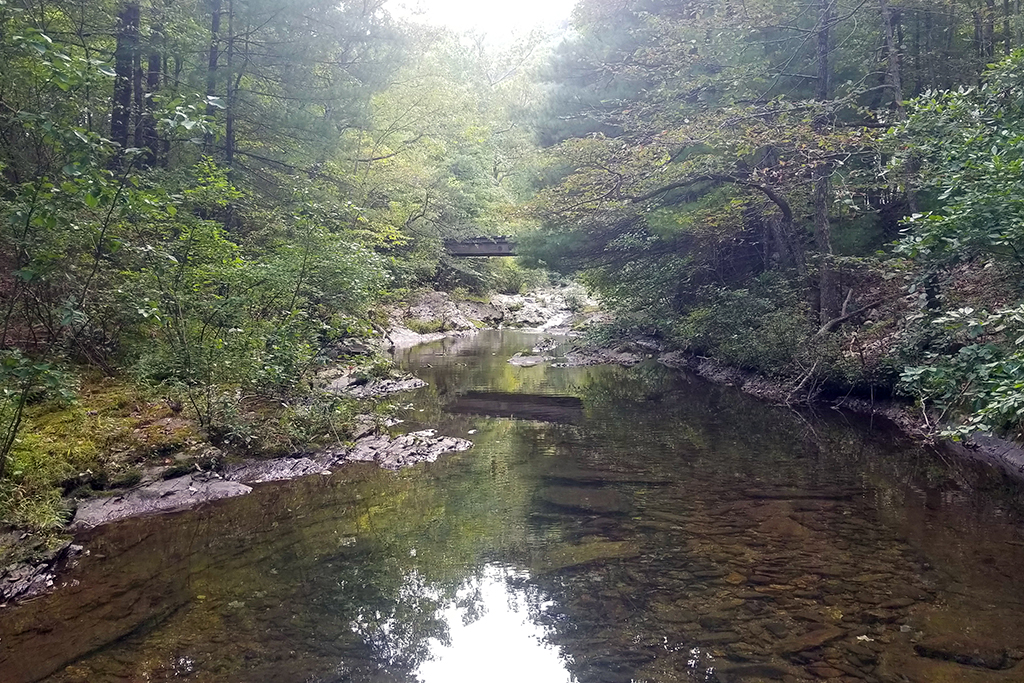
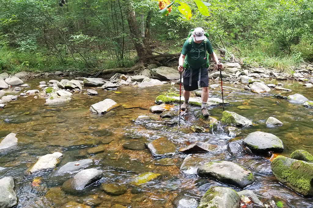
We had a good night of sleep and got up early to get breakfast started and continue our hike for the day. Rejoining the main Big Run Portal trail, we soon passed another large campsite to the right of the trail. The trail started off fairly flat as we were walking along the Big Run area. One difficult aspect about this section of the trail are all the water crossings.

There were several water crossings that made it difficult to follow since it wasn’t very clear where the blazes were on the other side. In fact, on one stream crossing, we missed a blaze on the left on an “island” about halfway across the stream. Our map did not indicate the partial stream crossing. We went past this and fully crossed the stream, only to find no blazes. We bushwhacked and scouted around for about 20 minutes before going back across and then we saw the not-so-obvious blaze that we had missed the first time. This trail is really not a very popular trail, so foot traffic doesn’t create as obvious of a trail as you would see in more popular sections of the park. A few more trail blazes would definitely help navigate this Big Run Portal Trail.
We continued along and passed the junctions with the Rocky Mountain Run Trail and Patterson Ridge Trail. When we reached the junction of the Big Run Portal and the Big Run Trail, we paused for a bit to gather some energy before the big climb up. This area used to have some established campsites, but these have been removed.
The climb up from here is brutal and relentless. Shortly after we started up this steep section of the Big Run Trail, a bear jumped off the trail and was booking it into the woods. The bear clearly had a lot more energy than we did and I’m sure my heavy-breathing up the trail had startled it. This uphill was quite a challenge for me, where my lack of hiking this year was showing. We paused for a bit at the four way junction.Taking a left here, we still had a little bit of climbing before getting back to the Appalachian Trail.

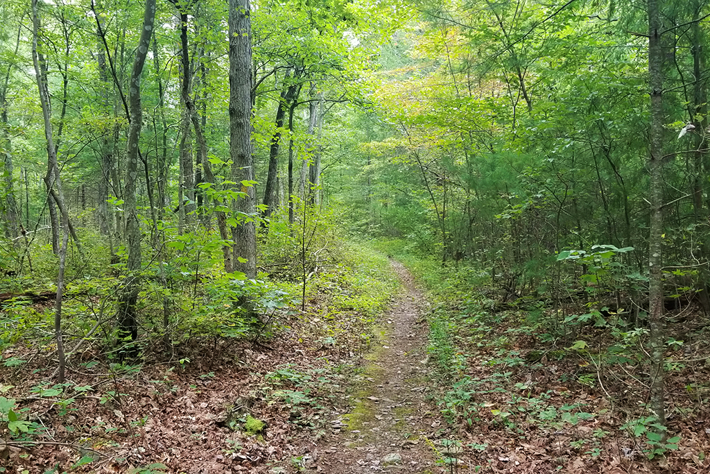
Once we reached the AT junction, the trail was smooth and relatively flat or downhill until we reached our car. Overall, this backpacking trip was tough for an overnight trip. The terrain the first day was rough and overgrown and the second day was a feeling of worried we were lost, followed by an incredibly tough uphill climb. While we hadn’t done this loop before, I’m not sure if we would do it again due to the toughness. The campsite was the real bonus of the trip and we enjoyed the location and the times near the water. I would camp again at this spot, but I think there are better approach trails that aren’t as challenging.

Turn-by-Turn for Day 2
- Start out from camp, following the yellow-blazed Big Run Portal trail upstream. There will be many stream crossings. Pay close attention to blazes, they’re sometimes hard to find and the trail gets hard to follow at stream crossings
- Pass a junction to the left with the Rocky Mountain Run Trail (staying on the Big Run Portal)
- Soon after, pass the junction with the Patterson Ridge Trail, continue with several more stream crossings (staying on Big Run Portal). All told, you will remain on the Big Run Portal trail for about 4.5 miles.
- Reach the junction of the Big Run Portal and Big Run trails. Take a right onto the Big Run Trail and climb steeply uphill for 1.2 miles. At the top of the climb, you will reach the 4-way junction you passed on Day 1.
- At the junction, take a left and follow the Big Run trail for .65 miles back to the Appalachian Trail.
- At the AT junction, take a right and follow the AT south back to your vehicle.
Trail Notes
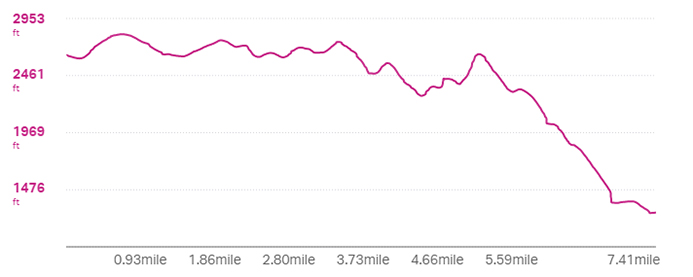
- Distance – 14.3 miles (7.41 on Day 1, 6.89 on Day 2)
- Elevation Change – 2881 ft. (1020′ on Day 1, 1861′ on Day 2)
- Difficulty – 5. This is a tough hike with rugged terrain, water crossings, and steep climbs.
- Trail Conditions – 2. The trail was extremely overgrown on Day 1 (crossing Rockytop) and water crossings can be challenging on Day 2.
- Views – 4.5. Excellent views from Rockytop summit and all along the descent to Big Run.
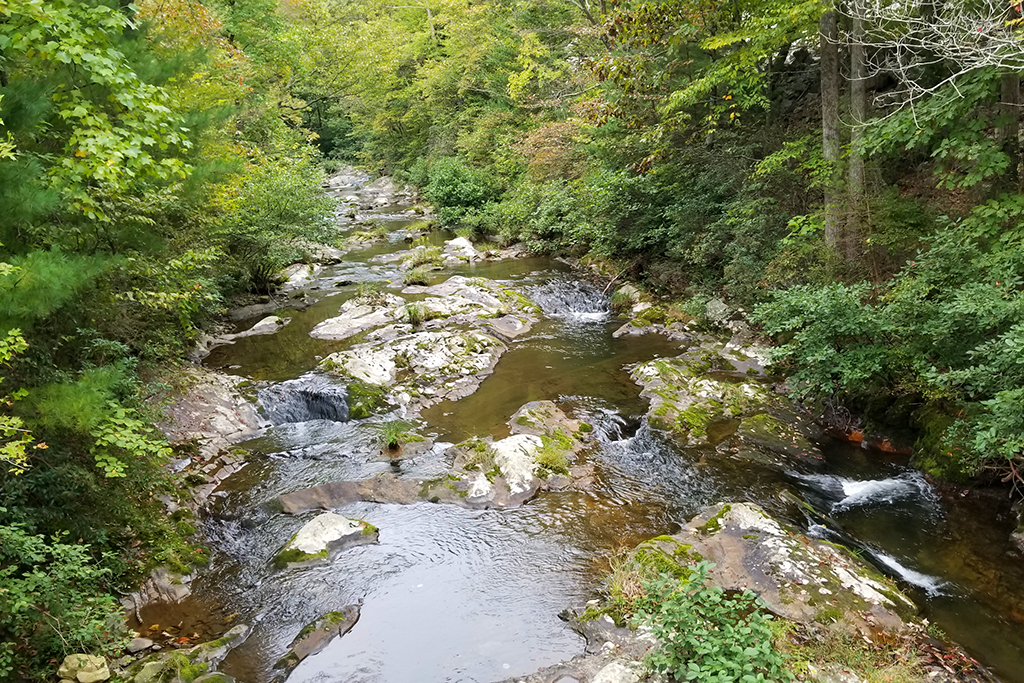
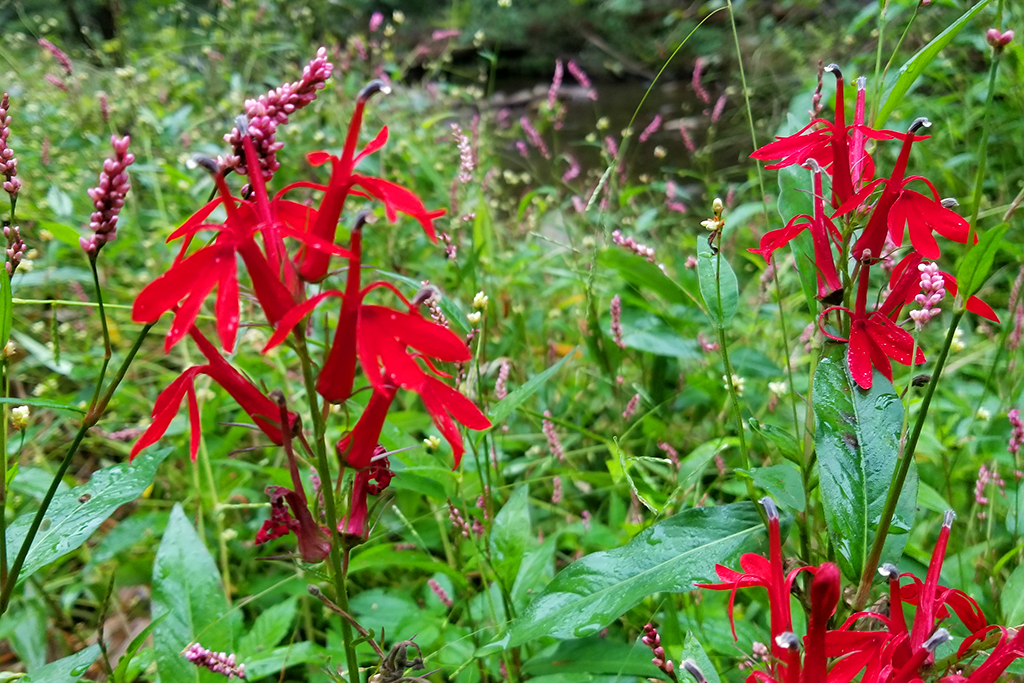
- Streams/Waterfalls – 5. Truly beautiful, rugged Shenandoah stream scenery and some of the nicest campsites near water in the park.
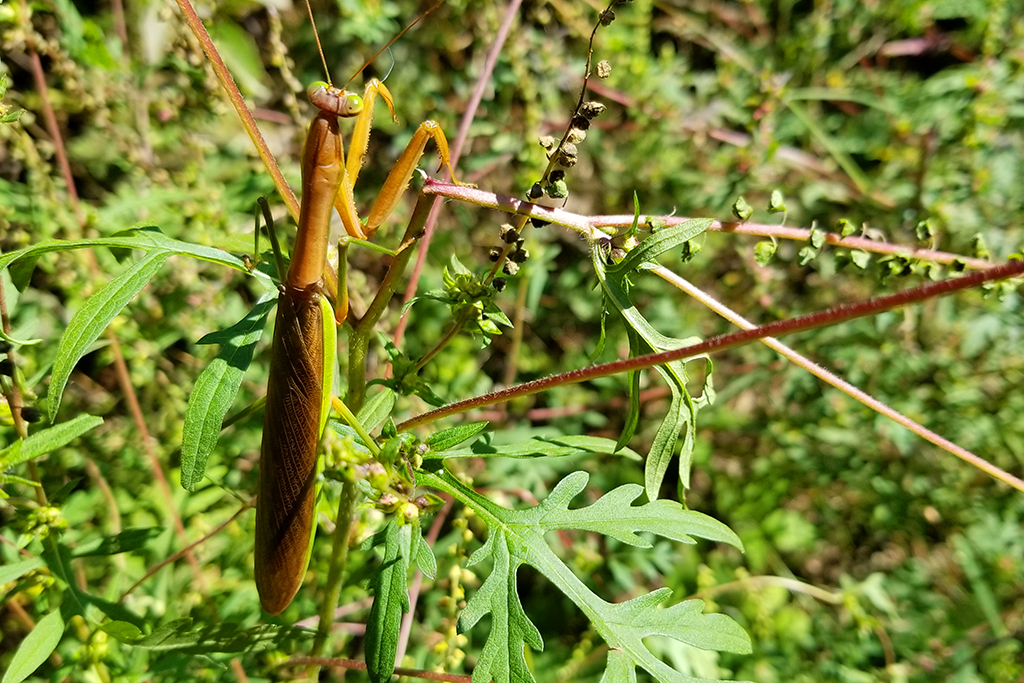
- Wildlife – 4. We saw some deer and a yearling bear.
- Ease to Navigate – 2. The overgrowth made the trail difficult to follow at times. The water crossings on Day 2 were poorly marked.
- Solitude – 4.5. We did this trail midweek during a stretch of perfect September weather. We only saw a couple people on Day 1 and nobody on Day 2.
Maps

Directions to trailhead: The parking lot is Brown Gap along Skyline Drive in Shenandoah National Park.


Good trip recap! Thanks for sharing!
My cousin and I did this loop in 2019 adding a section of the Brown’s Mountain and Rocky Mountain trails to make it a two night trip. https://youtu.be/SH1IgapkVqs I thought it was pretty enjoyable.
LikeLiked by 1 person