If you like high meadows and spectacular vistas all-around, this easy 7.2 mile hike along the Appalachian Trail is a perfect fit! The hike meanders through lovely forest and then takes you across open balds on two of the state’s tallest mountains. It’s a majestic hike!
View the Full Album of Photos From This Hike
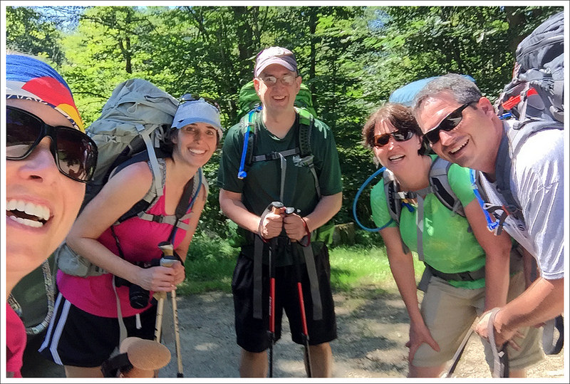
Adam Says…
On our trip to southwest Virginia, we did three hikes in three days and they were all very distinct. We explored the slot canyons of the Great Channels, we discovered the serene waters of Devils Bathtub, and then we took in majestic views from a high bald on this trip to Buzzard Rock. All of the experiences on these three hikes were memorable in different ways and when we were talking about our favorite, is was hard to pick one. The day we did this hike was my birthday and I can’t think of a better way to celebrate.
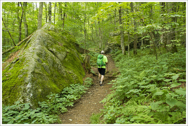
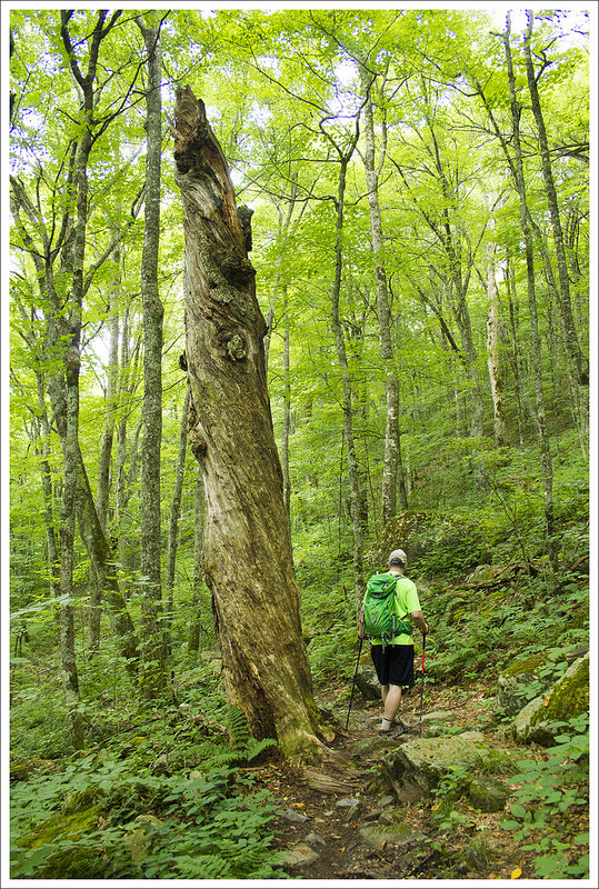
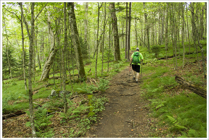
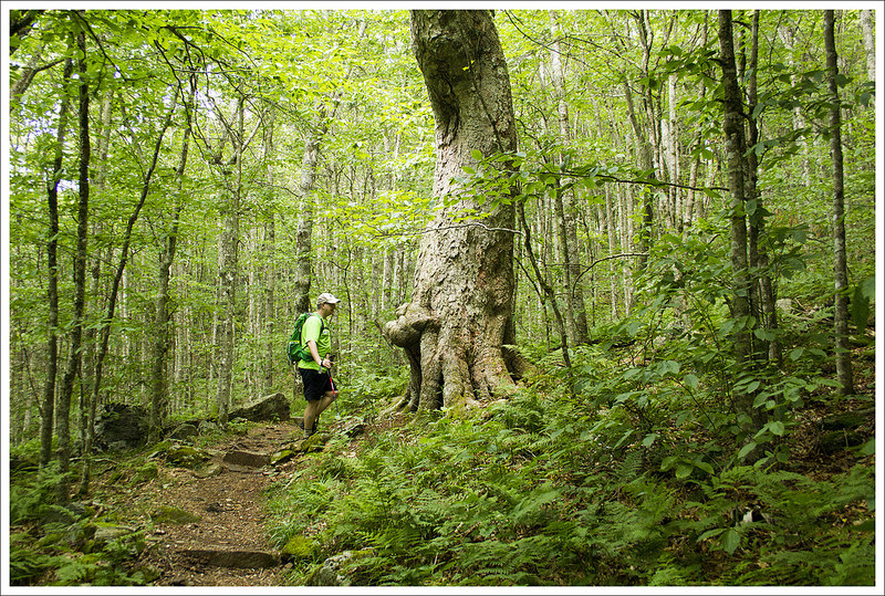
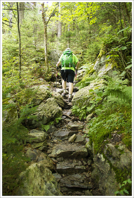
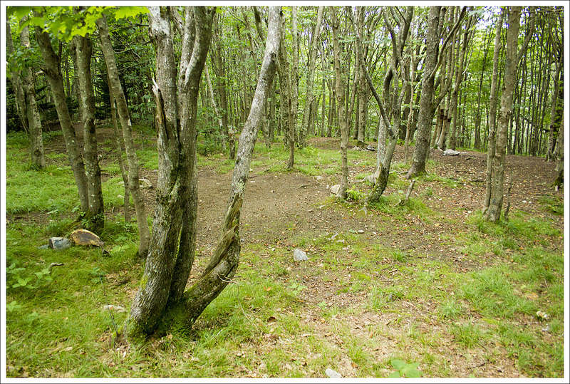
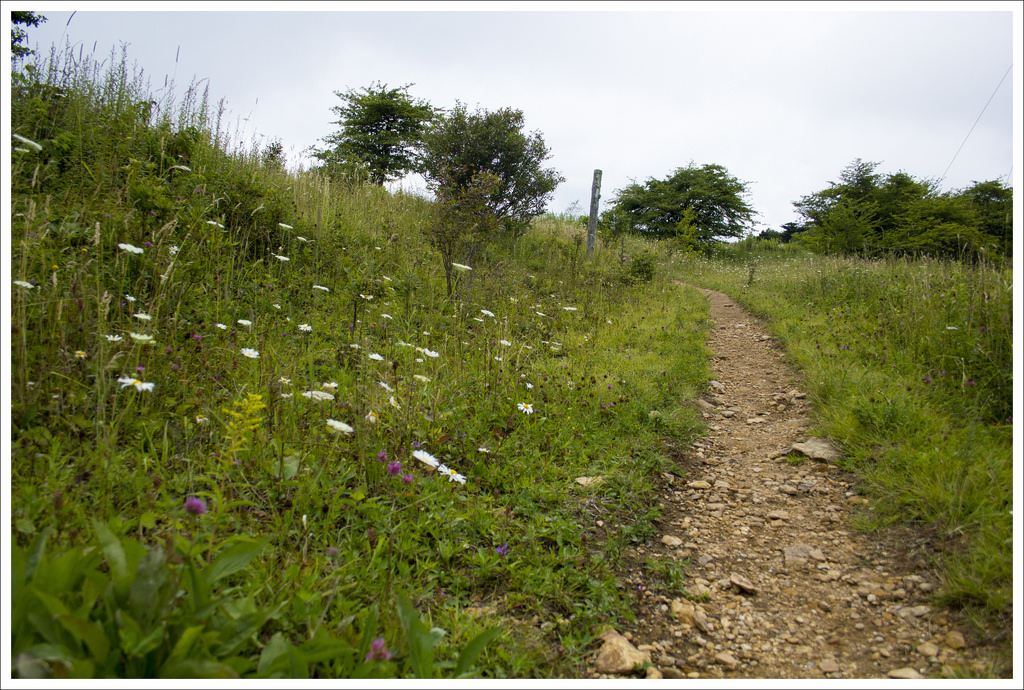
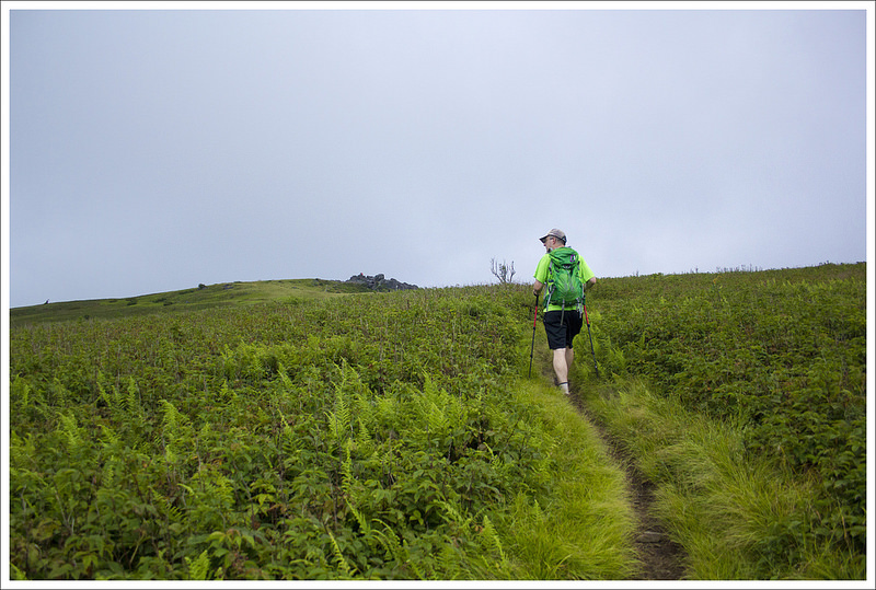
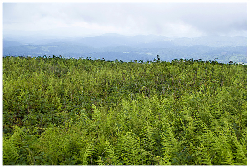
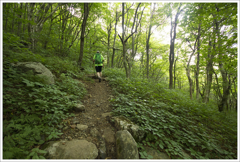
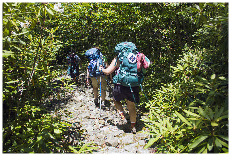
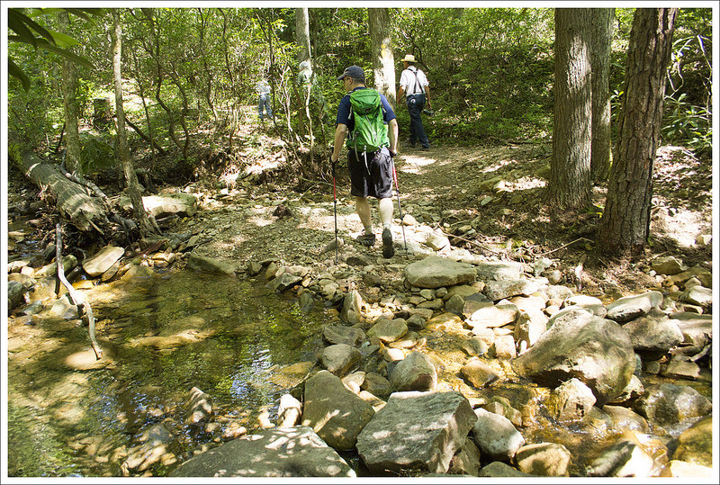
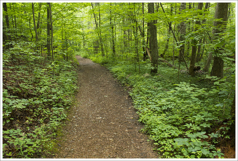
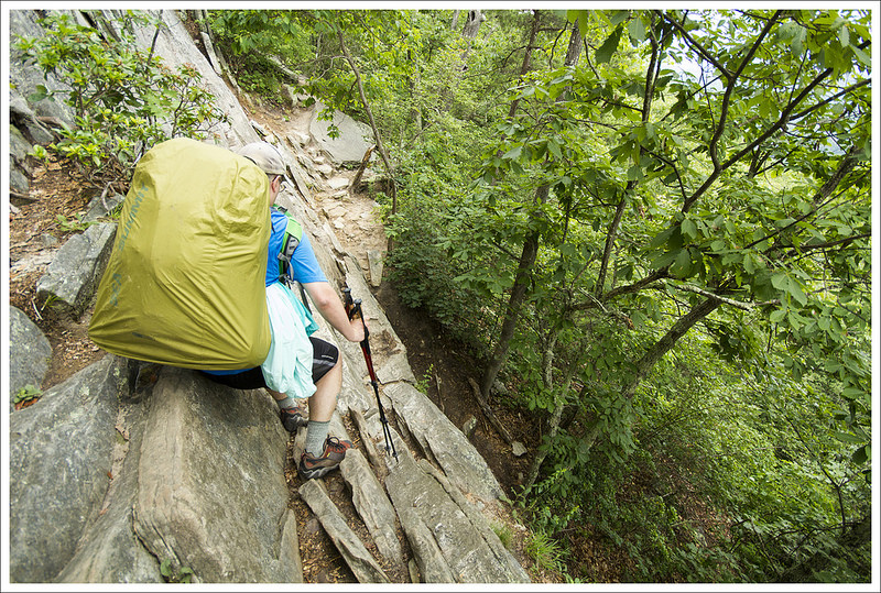
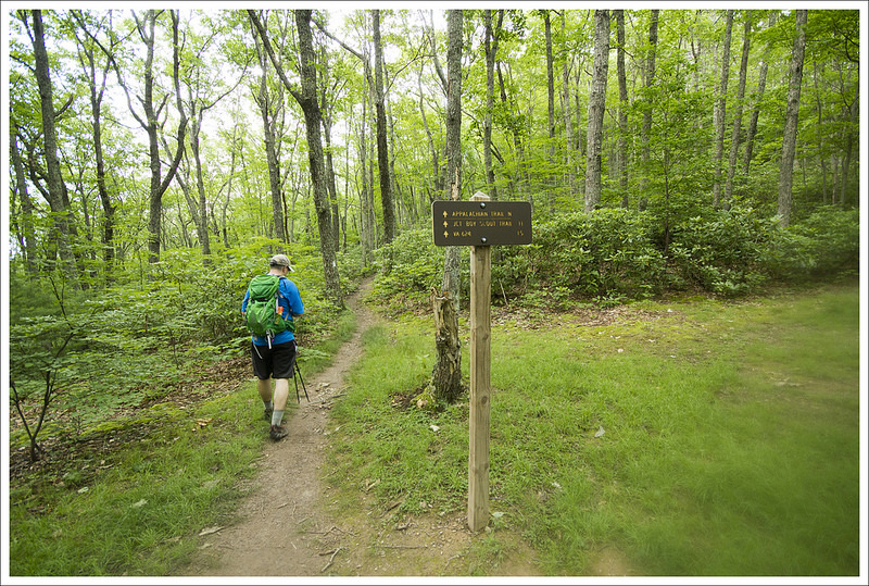
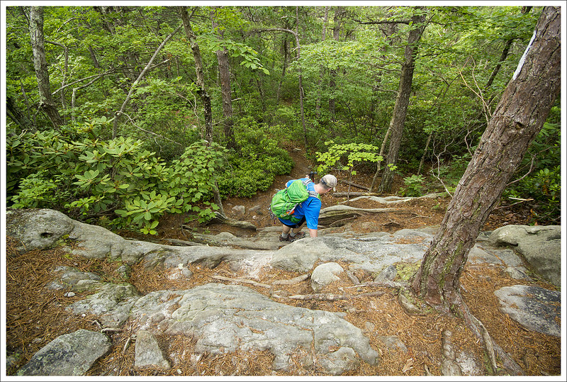
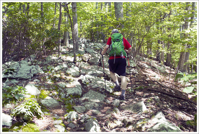
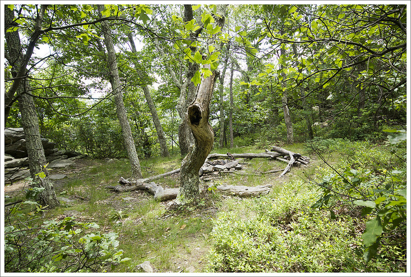
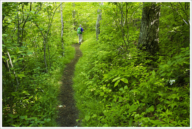
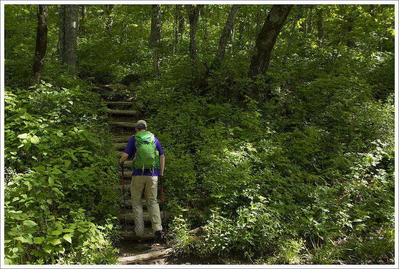
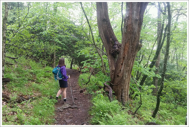
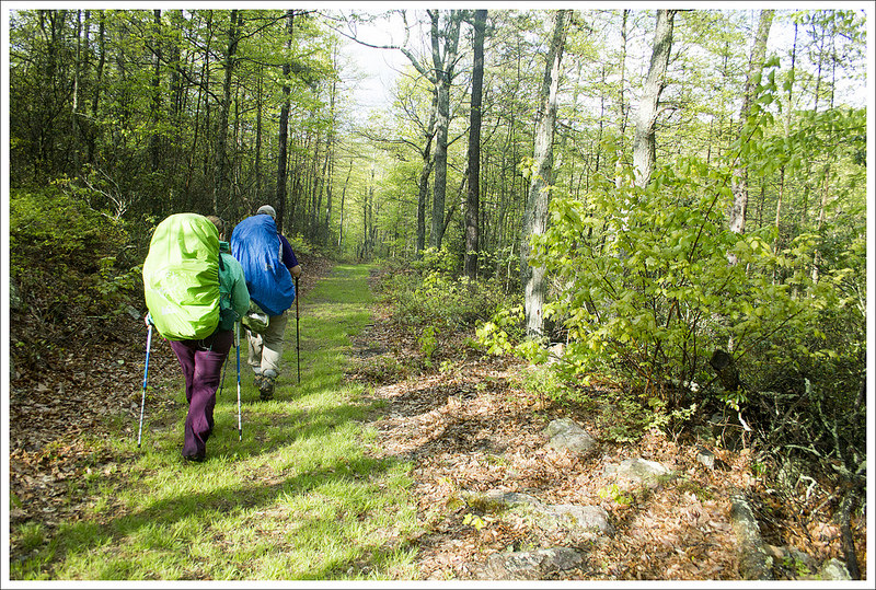
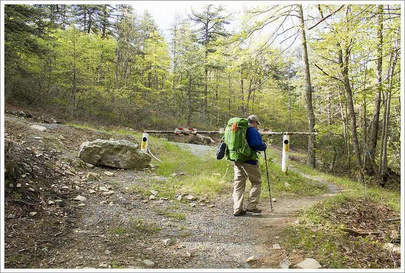
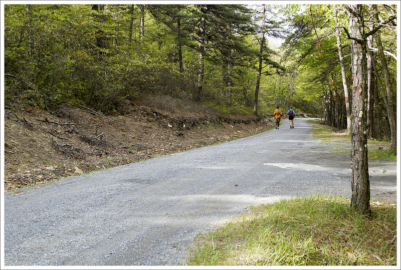
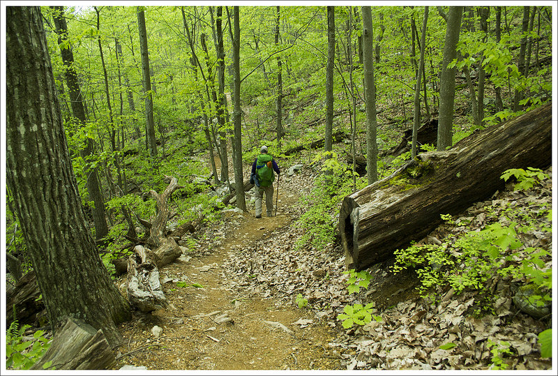
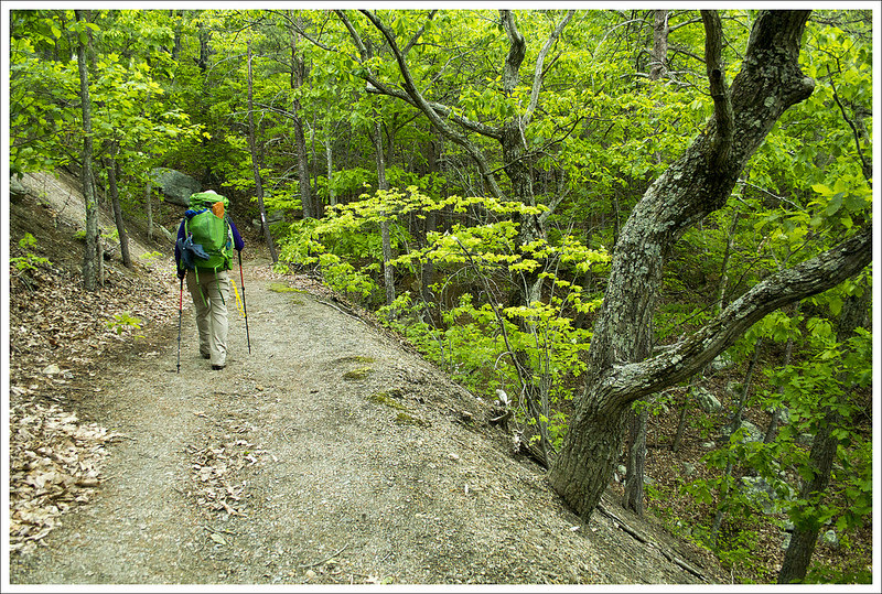
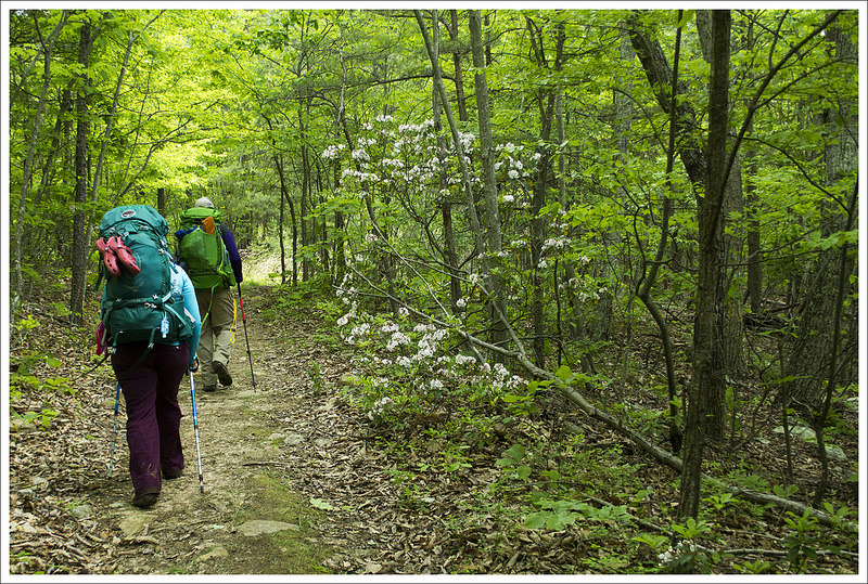
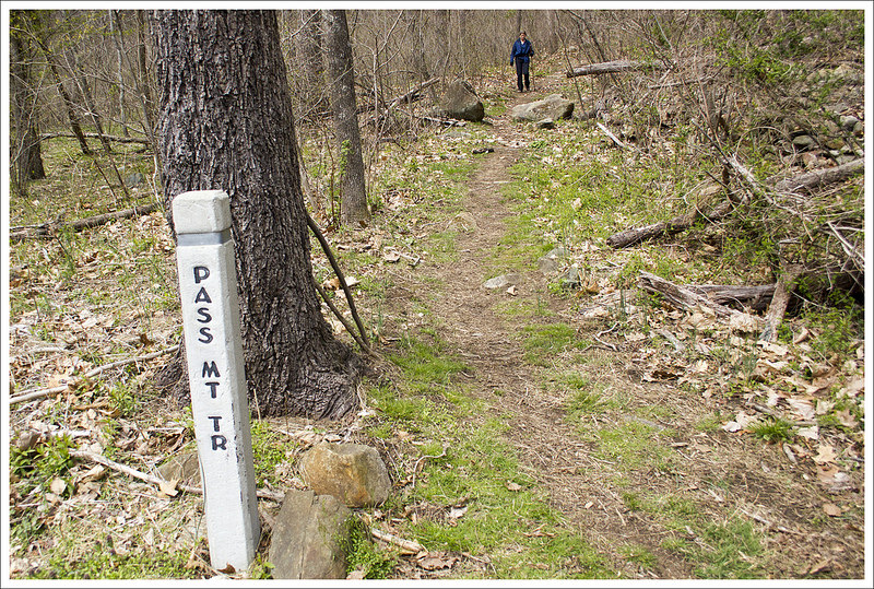
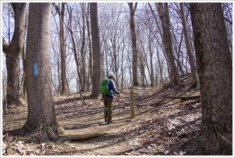
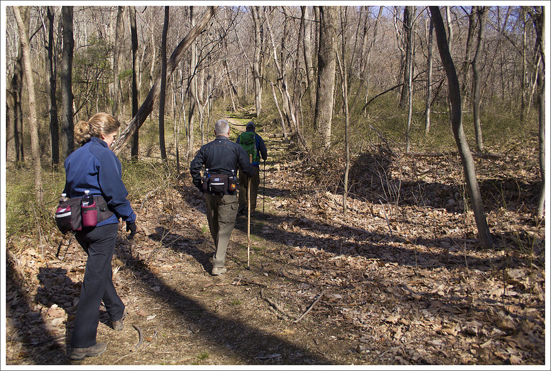
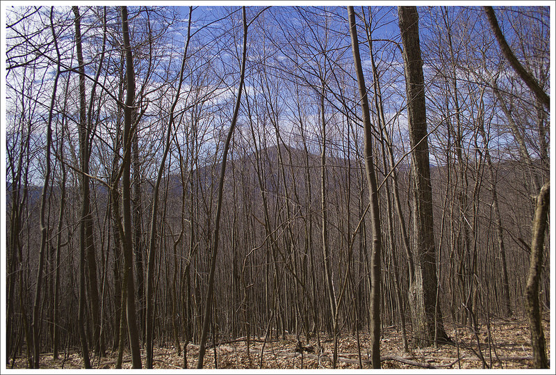
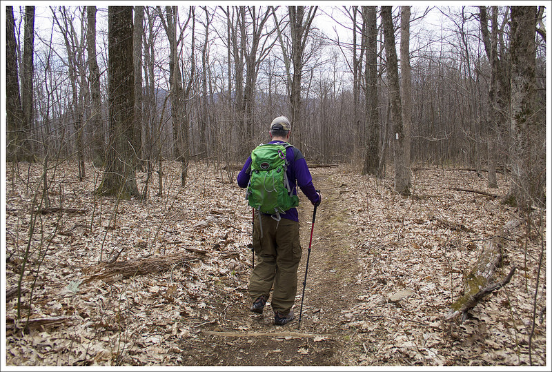
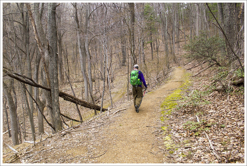
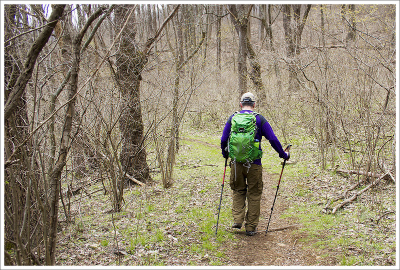
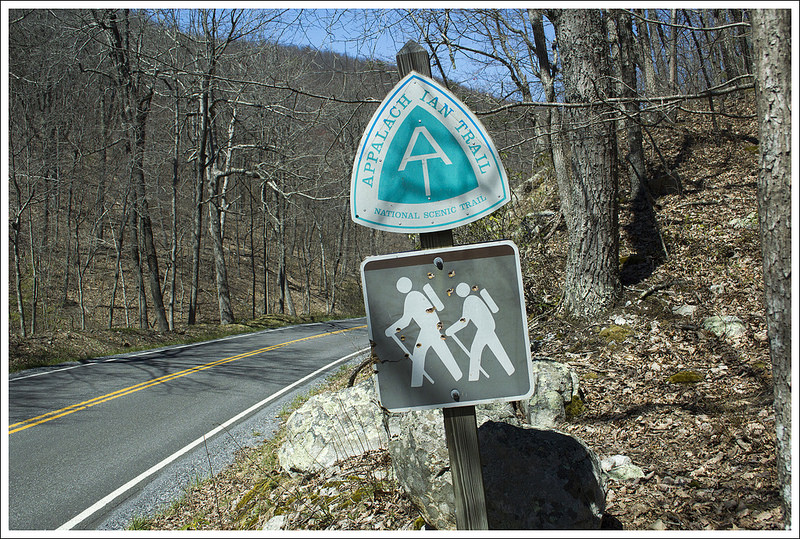
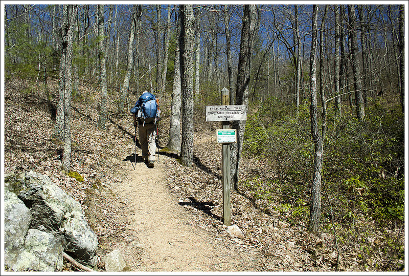
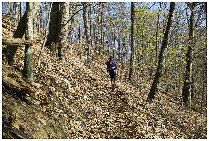
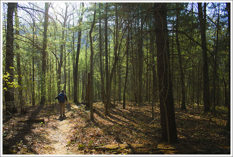
The trail starts from the Elk Garden parking lot by entering the woods behind the parking lot and heading south on the white-blazed Appalachian Trail. The trail ascends mostly over the first two miles, but we never found it too difficult (you only gain about 700 feet of elevation over those two miles). The trail bisected a sea of fern and short understory with tall trees above, painting a beautiful forest walk.
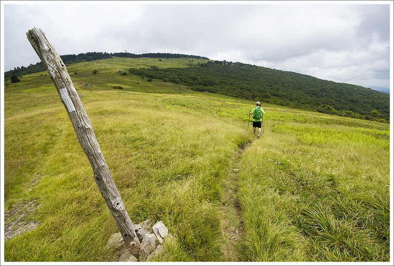
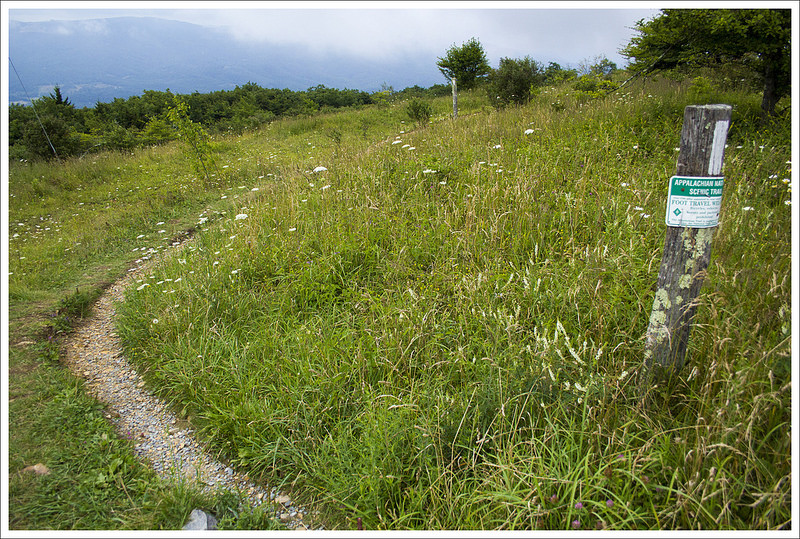
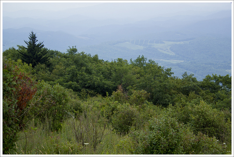
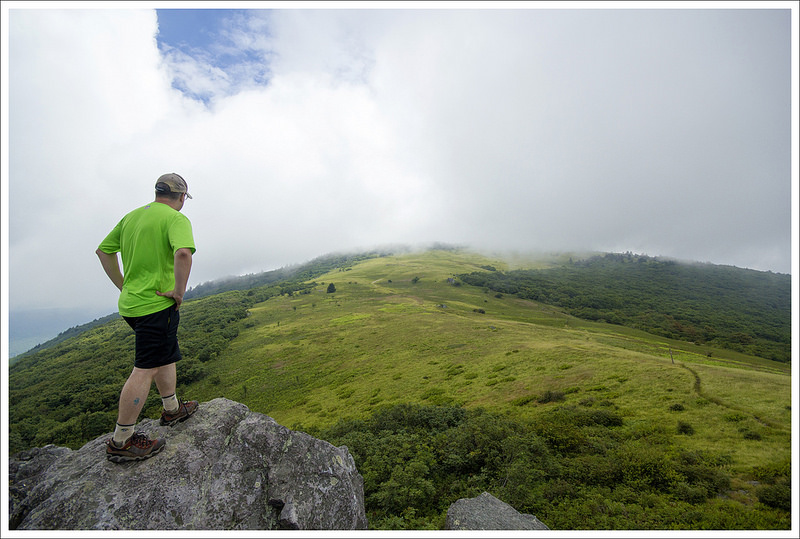
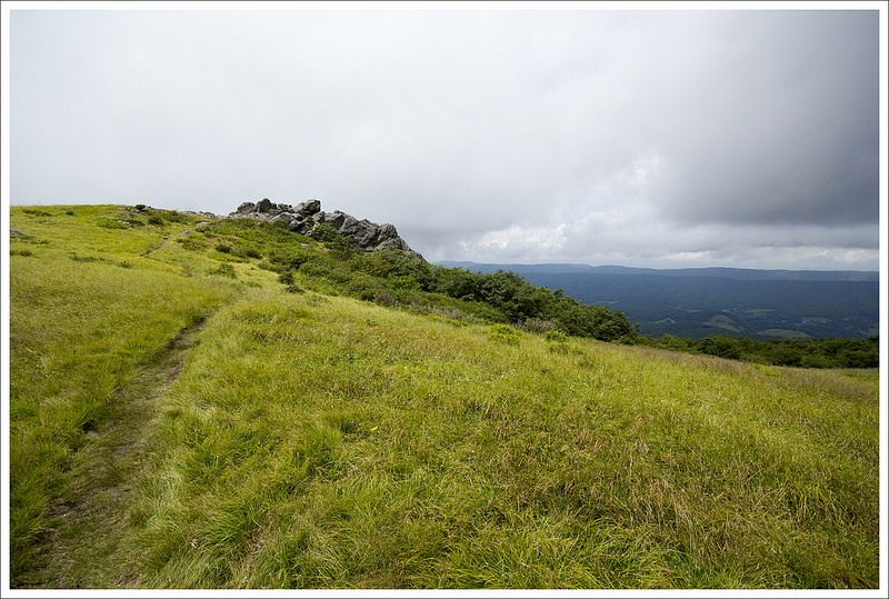
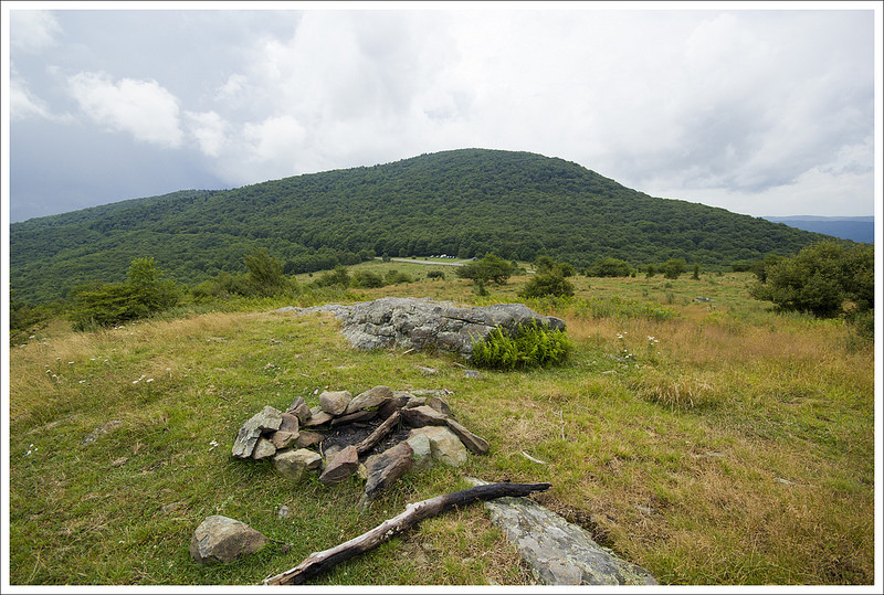
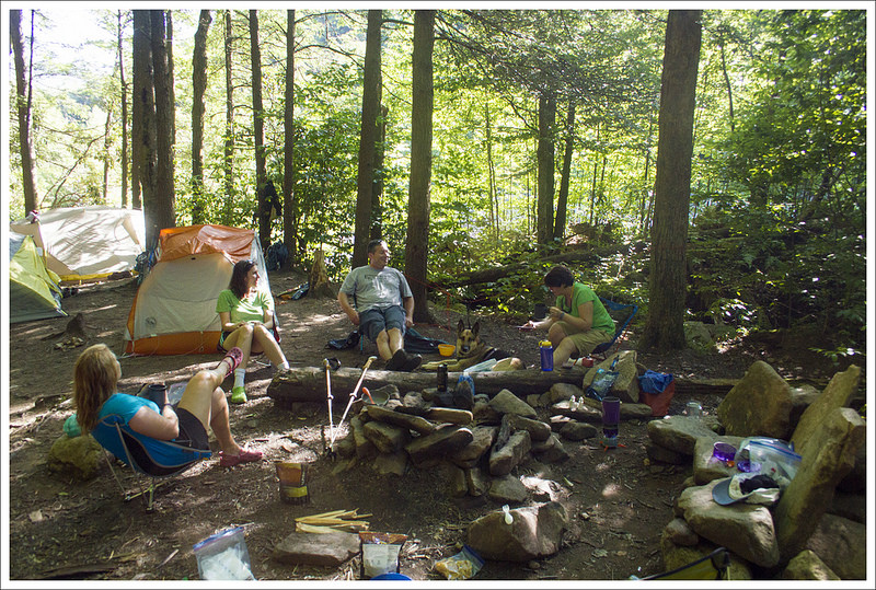
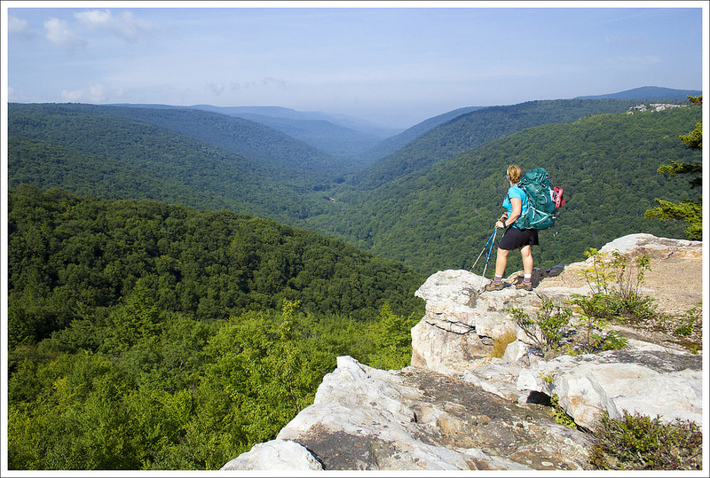
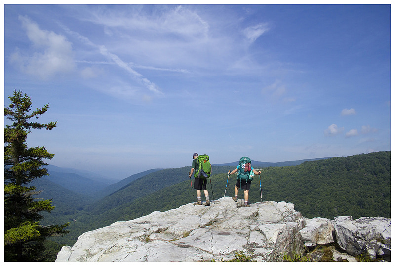
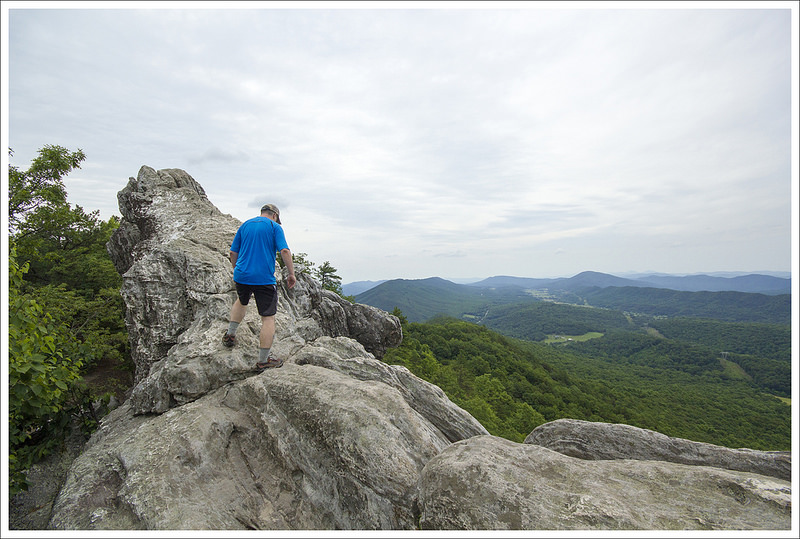
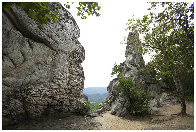
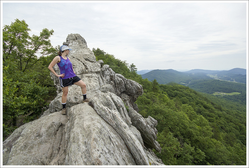
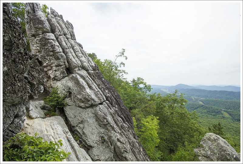
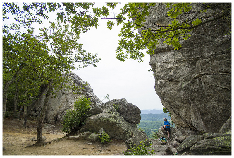
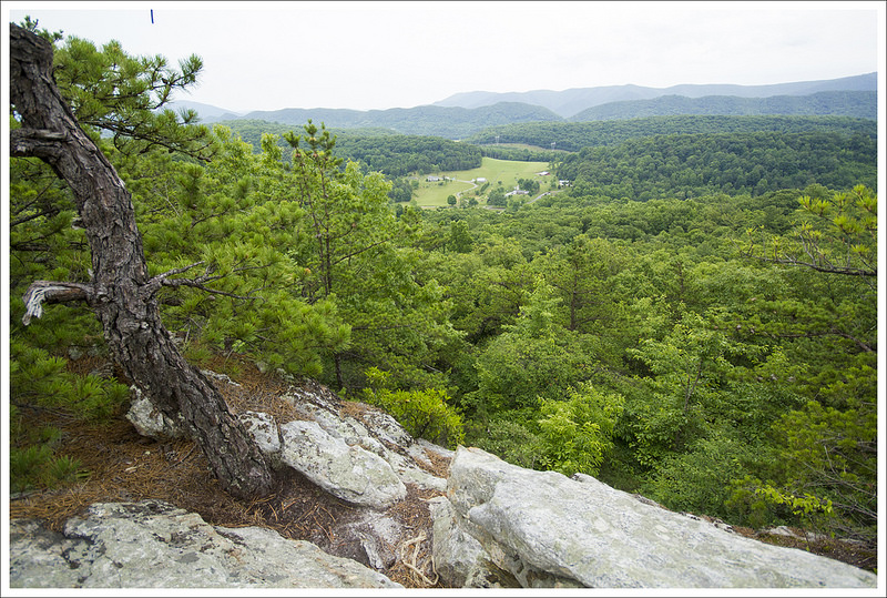
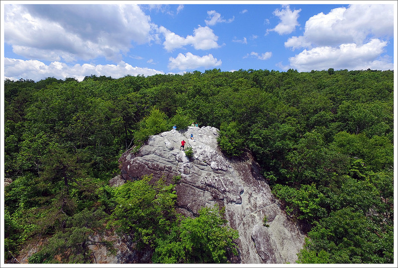
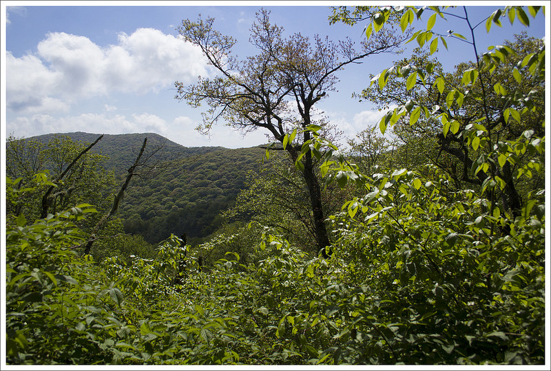
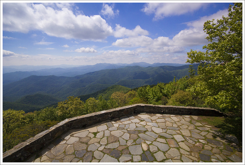
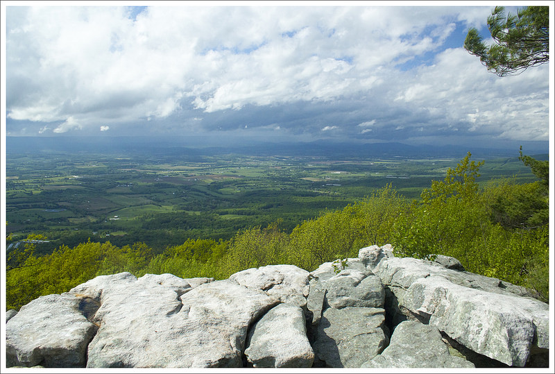
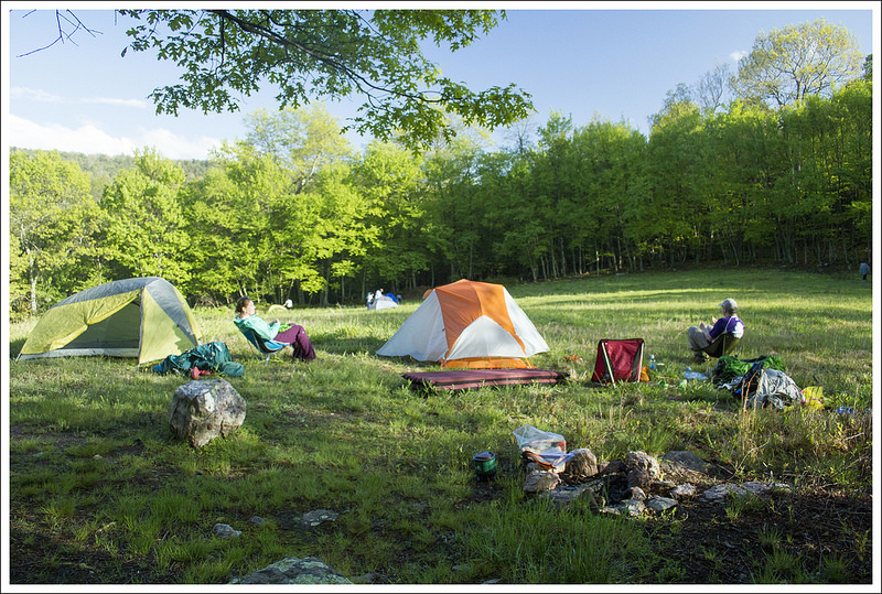
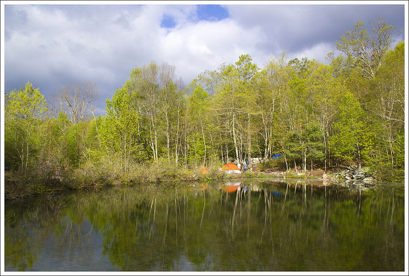
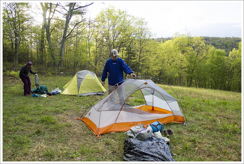
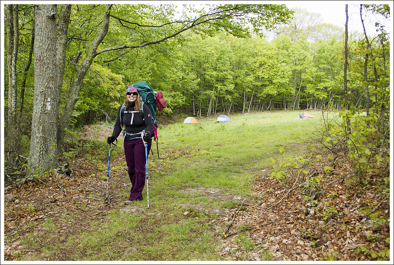
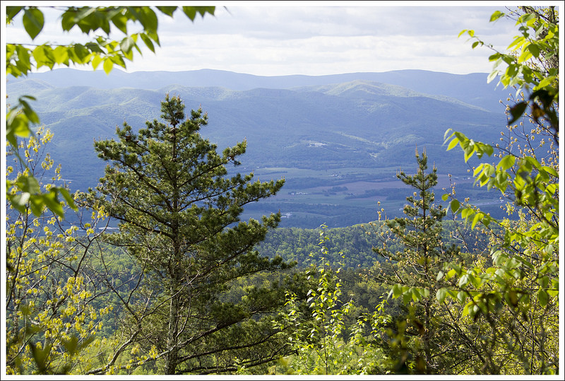
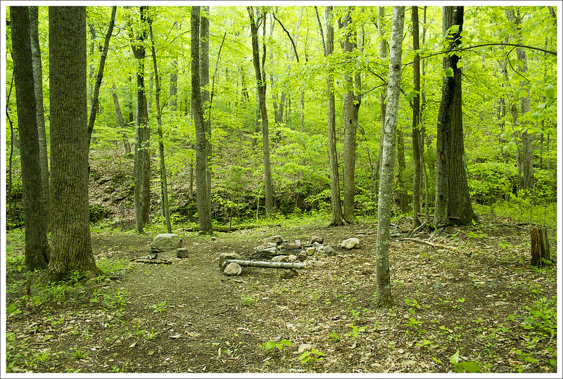
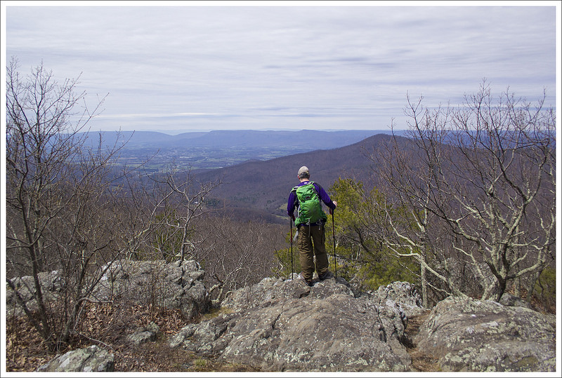
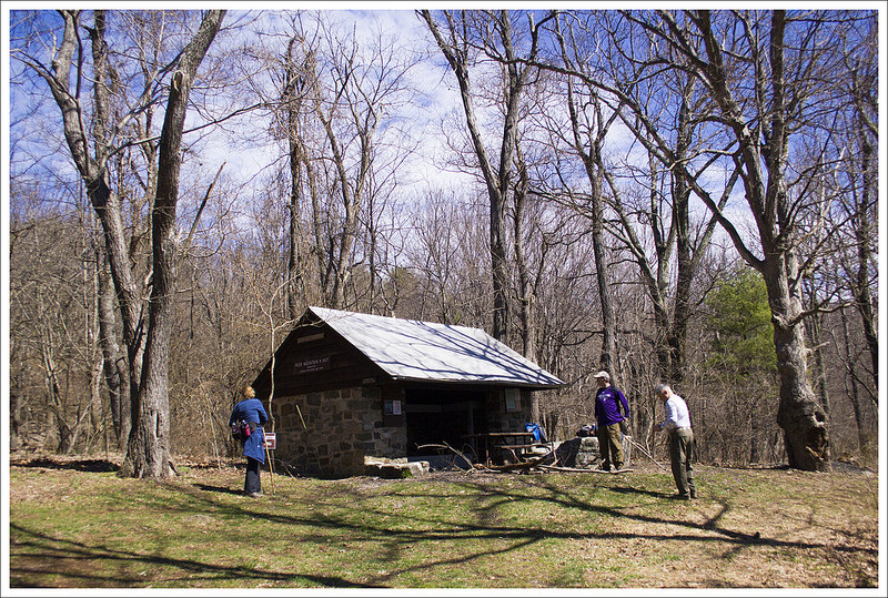
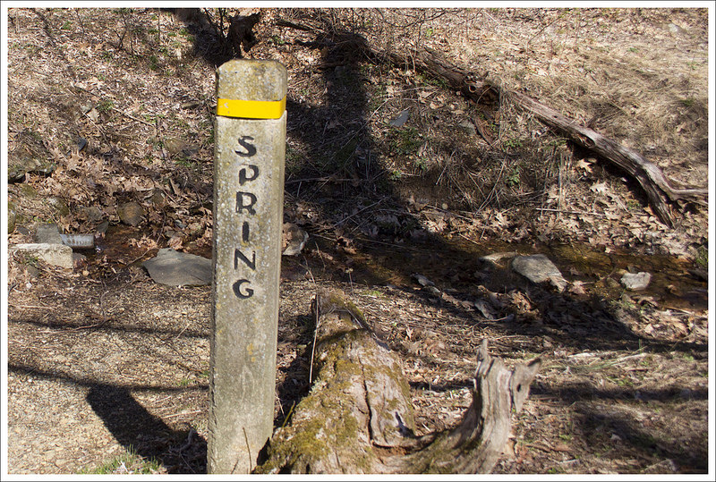
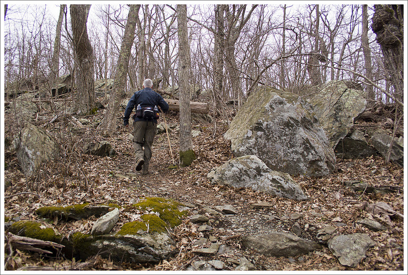
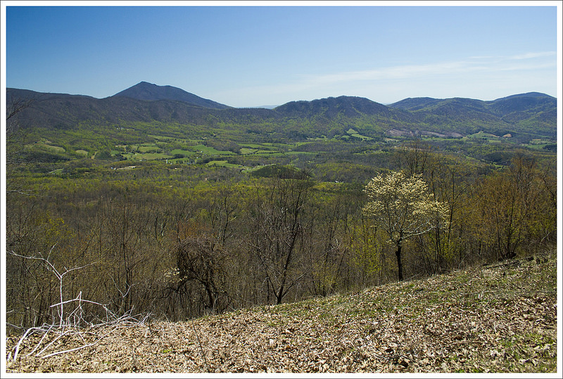
At 1.7 miles, a small trickle of a stream passed over the trail, but it was quite dry and not a reliable water source. At 2.4 miles, we passed by a series of campsites to the left of the trail and crossed over Whitetop Mountain Road and came into an open field. The views around us were quite hazy, but we know on a clear day you would have some magnificent views. At 2.5 miles, we walked pass a small spring that was on the eastern (left) side of the trail. We talked briefly to a couple of AT section hikers were pausing to eat lunch and refill water bottles here. The trail descends slightly, dips into the woods again, and then emerges into the open bald leading up to Buzzard Rock. The views are outstanding along the open bald and the trail leads you right to the only outcropping of rock nearby at 3.3 miles, known as Buzzard Rock. From the summit you can also see another trail leading up to Whitetop Mountain Road. According to peakery.com, Buzzard Rock is the fourth highest peak in Virginia at 5,095 feet. You can see the Whitetop Mountain peak and Mount Rogers from the rock, which are the third and first highest peaks respectively.
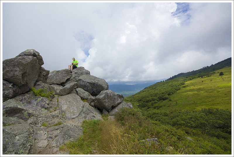
At Buzzard Rock and the open bald surrounding area, you have panoramic views to both the east and west. There were a large bank of clouds moving our way, so we knew some rain was likely. We ate some lunch and talked to a couple at the summit. The man we talked to had been visiting this spot since he was in high school in the early 1960s. He told me that when he first visited nearby Whitetop Mountain, there used to be cabins at the top. Whitetop Mountain Road used to have a toll gate where they would charge $2 per person in the car to drive to the top and $2 per person to stay in the cabins. He and his friends would hide in the trunk to keep from paying and climb in the windows to avoid the extra charges. He told us how they would knock on the cabins to inspect who was staying there and they would have to jump out the window to avoid being caught. They also charged $1 per person to take the hike down from Whitetop Mountain to Buzzard Rock. So, he was enjoying doing this hike for free these days. Many people that visit Buzzard Rock tend to drive up Whitetop Mountain Road and then hike down from the road, for a short but easy out-and-back. Another interesting piece of trivia about Whitetop Mountain is that they used to hold a folk festival in the 1930s here and Eleanor Roosevelt visited in 1933, during her first year of being First Lady, which drew 20,000 visitors to the mountain.
We decided to head back the way we came (make sure you stay on the AT trail and don’t take the path to Whitetop Mountain Road) and almost as soon as we ducked into the woods, it started to rain. We made a quick choice to put on our rain gear and within minutes we were in a full downpour. We made haste along the trail on our return. While this would have ruined some people’s spirits, we enjoyed walking through the rain. We saw a few tents on our way back from people that had quickly set them up to escape the downpour. About a mile from the end of the hike, the rain stopped and we reached our car at 6.6 miles.
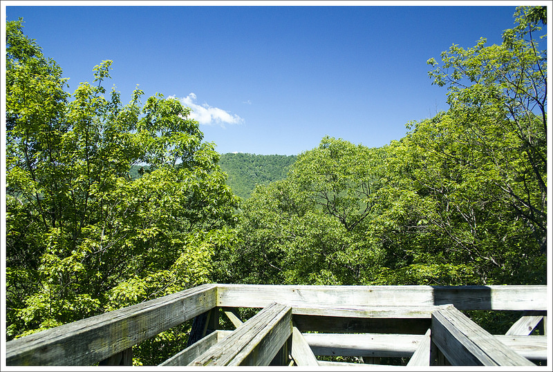
After seeing it listed in our AWOL Appalachian Trail guide, we decided to continue on the AT to check out another view from Elk Garden. We dumped some of our wet gear, crossed the road, and made our way up a steep hill for an added on .3 miles to another plateau. We did see more views from this hill summit and saw a large herd of cows in the valley below us (we had seen humongous cow patties on our way up the hill, so we thought we may encounter some). We took a few minutes checking out the views. We then descended the hill and returned to our car yet again. It was a great day on the trail and we were surprised at how great the views were on this hike!
Christine Says…
This hike was the perfect finish to our four-day visit to southwest Virginia! We aren’t terribly familiar with the trails in this area, so when I was looking for another hike to do on our trip, I turned to our AWOL guide. The guide is a detailed resource outlining the entire Appalachian Trail from end to end. It includes elevation profiles, distances, camping options, water sources, and scenic stops along the way. Each noteworthy view is marked in the book with a camera icon. For this stretch, there was just one marked viewpoint – near the parking lot at Elk Garden. I figured we would get one nice view from Elk Garden, and then walk a few additional miles along the Appalachian Trail. I didn’t expect to get such amazing views from both the flank of Whitetop Mountain and from the rocky outcropping atop Buzzard Rock Mountain. Neither of those spots were marked with a camera icon in the AWOL guide, so the additional views turned out to be a pleasant surprise.
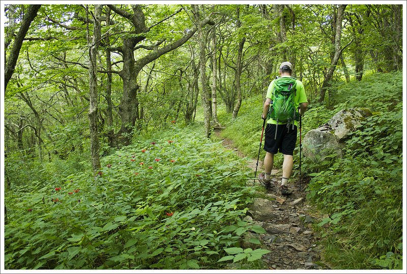
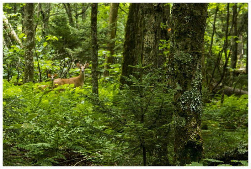
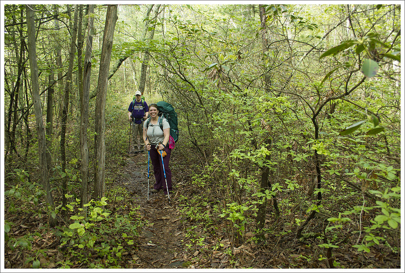
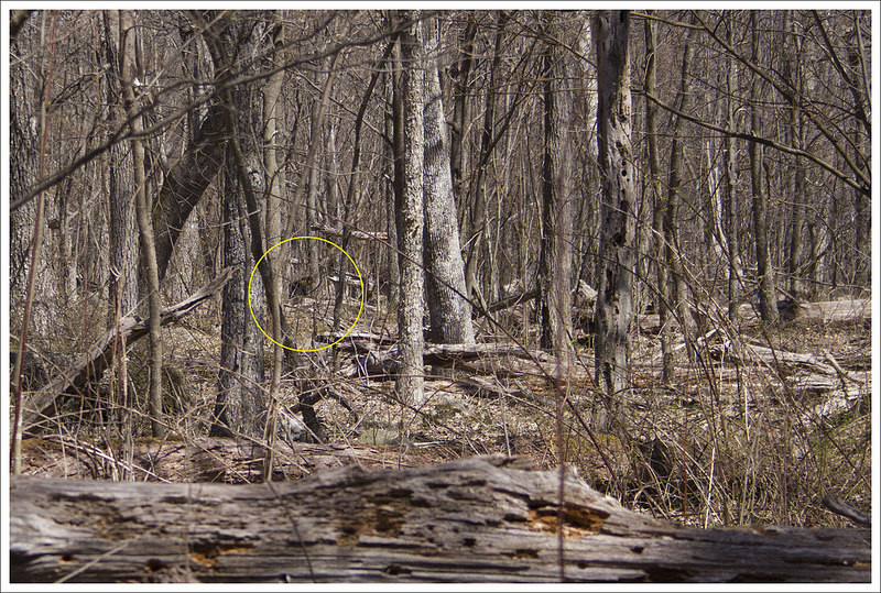
The first couple miles of the hike climbed gently through pretty, open forest. The trail was mostly soft dirt with just a few rocky spots. About a mile into the hike, we saw a buck hanging out with a tiny spotted fawn. It was unusual to see a young fawn hanging out with an adult male instead of his mother. They were cute and watched us suspiciously from a safe distance.
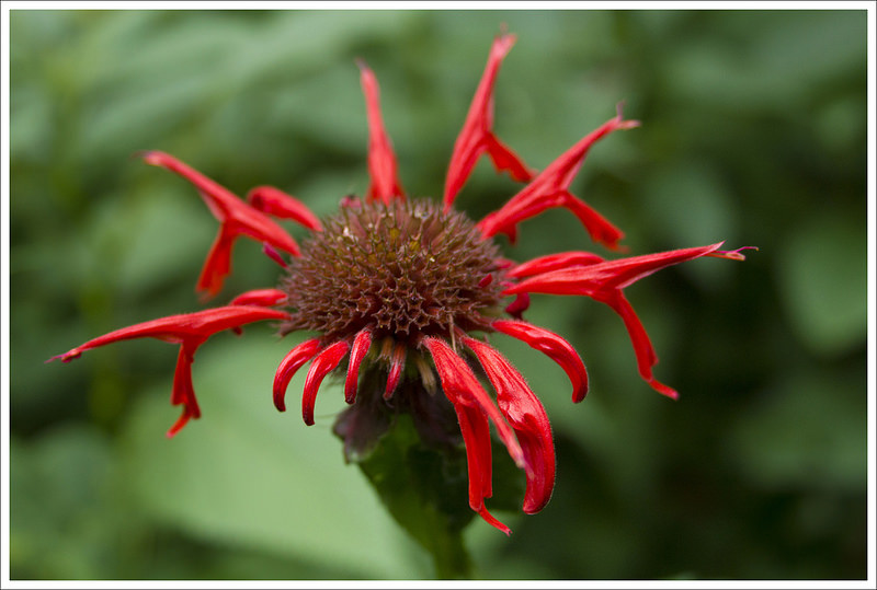
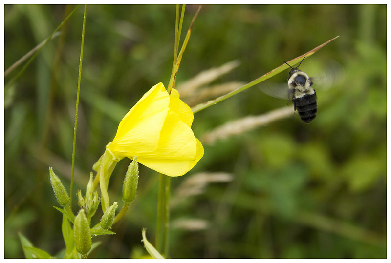
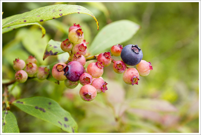
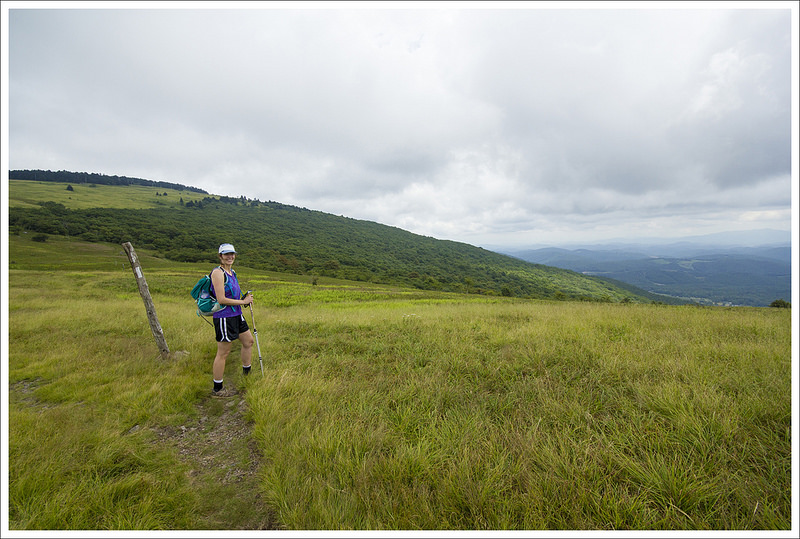
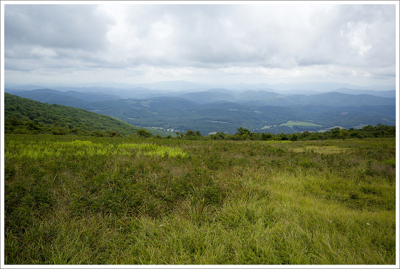
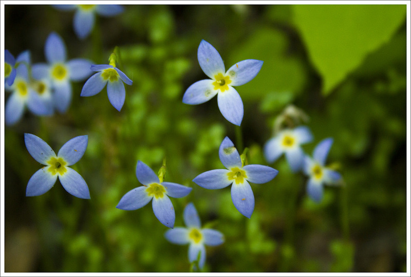
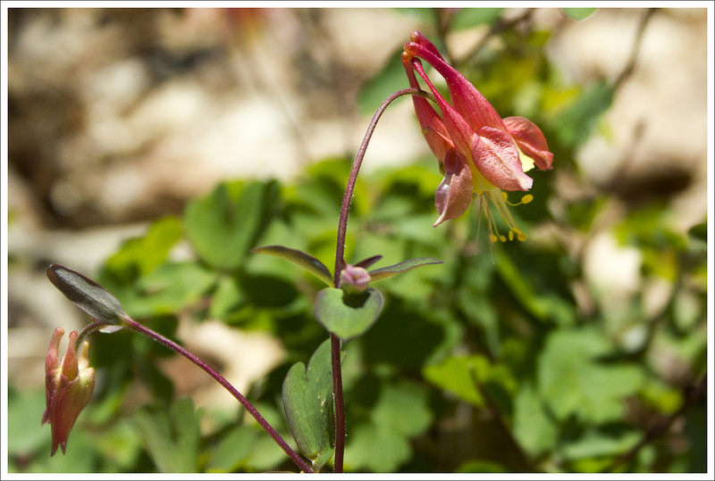
At 2.4 miles we crossed Whitetop Mountain Road and stepped out into an open meadow. There were tons of wildflowers in every color, bees buzzed busily collecting pollen, and there were tons of wild blueberries, raspberries, and blackberries. The view was gorgeous and a little misty. The thin fog obscured a bit of the vista’s majesty, but since we weren’t expecting a view at all, it was a treat. The trail continued through the open meadow for a few tenths of a mile before reentering the woods. I wondered aloud to Adam if there would be more views. He thought the woods looked like they cleared in the next half mile and that Buzzard Rock sounded like it could be something worth checking out… and he was right!
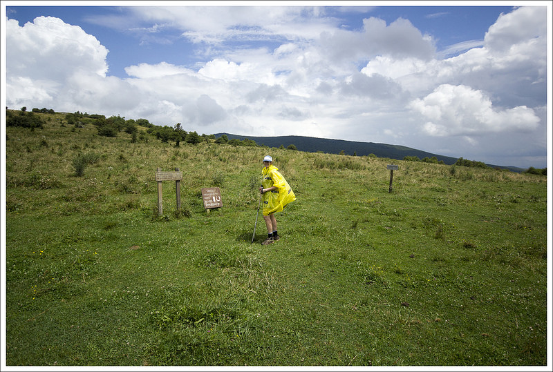
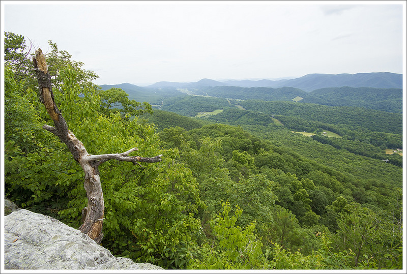
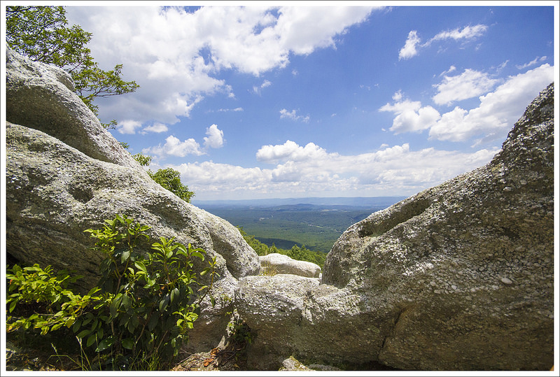
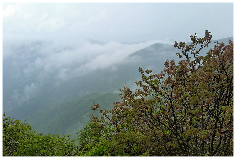
We stepped out of the woods again into another mountaintop bald. The Appalachian Trail climbed the hill like a dark ribbon through a sea of grass. Off in the distance, athe top of the hill, we could see a rocky outcropping. There were big, fast-moving, banks of clouds, so the valley below came in and out of view as we climbed.
We reached the rocky pinnacle and stopped to take in everything around us. It was spectacular! Little bits of clear blue skies opened through the clouds and the view below came and went as the clouds moved. The wind rustled the tall grass all around us. We wook lots of photos and ate our lunch. After a while, I noticed that the clouds were starting to darken and gather. It was time to head back!
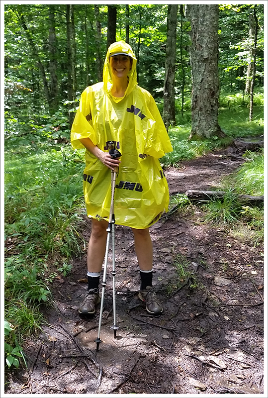
We made it back into the woods just as the rain started. At first, it was just a few drops and we thought it might blow over. But instead, it picked up becoming a steady rain and then a torrential downpour. I packed my camera away and got out my freebie JMU poncho. I prefer a cheap plastic poncho to my Marmot rain jacket in the summer. The poncho covers my backpack and my clothes without trapping in any of the body heat from hiking. The rain relentlessly poured down for almost 2.5 miles of hiking. The trail was running like a stream. It might be some of the hardest rain we’ve ever hiked in.
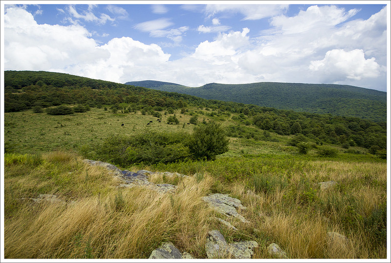
A couple tenths of a mile before we got back to Elk Garden, the rain tapered off and the sun came out. I didn’t feel like stopping, so I hiked on in my poncho. We passed the car in the parking lot, crossed the highway and made our way uphill to the Elk Garden view. To climb the hill, you have to open a farm gate. Be sure you securely latch it after crossing, as it keeps the cow herd safely enclosed. And yes… you may have some close encounters with BIG cows on this part of the hike.
The storm had cleared out the mist and the low clouds and the sky was blue and the view was clear. We took in the views of the cow herd and Mount Rogers off in the distance. After the hike, we headed into Damascus for ice cream and a stop at the outdoor outfitters. It was a great way to celebrate Adam’s birthday!
Trail Notes
- Distance – 7.2 miles
(Check out the stats from Map My Hike)*
- Elevation Change – 1225 ft
- Difficulty – 2.5. This was an easier hike that had a huge payoff for minimum effort.
- Trail Conditions – 4. The trail was well-maintained and we didn’t have any issues. I imagine it could be overgrown somewhat in the spring.
- Views – 5. You have great views from Buzzard Rock and Elk Garden.
- Waterfalls/streams – 0. Non-existent.
- Wildlife – 2. We did see deer along the trail. You likely won’t see much on the bald areas, but the woods and elevation add to some wildlife possibilities.
- Ease to Navigate – 4.5. Just follow the white-blazed AT markers.
- Solitude – 3.5. This is a popular spot for locals, but because of the vastness of the bald, you can find your own solitude for the summit if you desire.
Download a trail map (PDF)
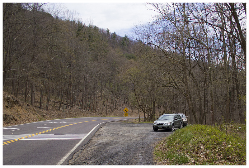
Directions to trailhead: Parking lot GPS directions are N36 378.769 W 82 34.992 From Damascus, VA take US-58 East for 10.5 miles. Instead of turning right to stay on US-58, go straight on 603/Konnarock Road for 2.7 miles. Turn right onto 600/Whitetop Road and follow that for 5.2 miles until you reach the parking lot for Elk Garden on the right.
* MapMyHike is not necessarily accurate, as the GPS signal fades in and out – but it still provides some fun and interesting information.


