This two-day backpacking trip covered just over 23 miles and included a visit to the iconic Dragon’s Tooth, one of the three highlights that make up Virginia’s Triple Crown. We did this backpacking trip in June of 2022 and it’s been sitting unposted in our blog queue ever since. I decided to go ahead and share it… four years later!
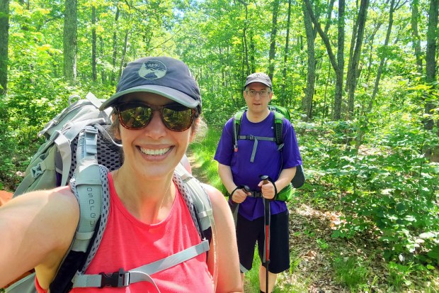
You’ll find the full photo album at the bottom of this post.
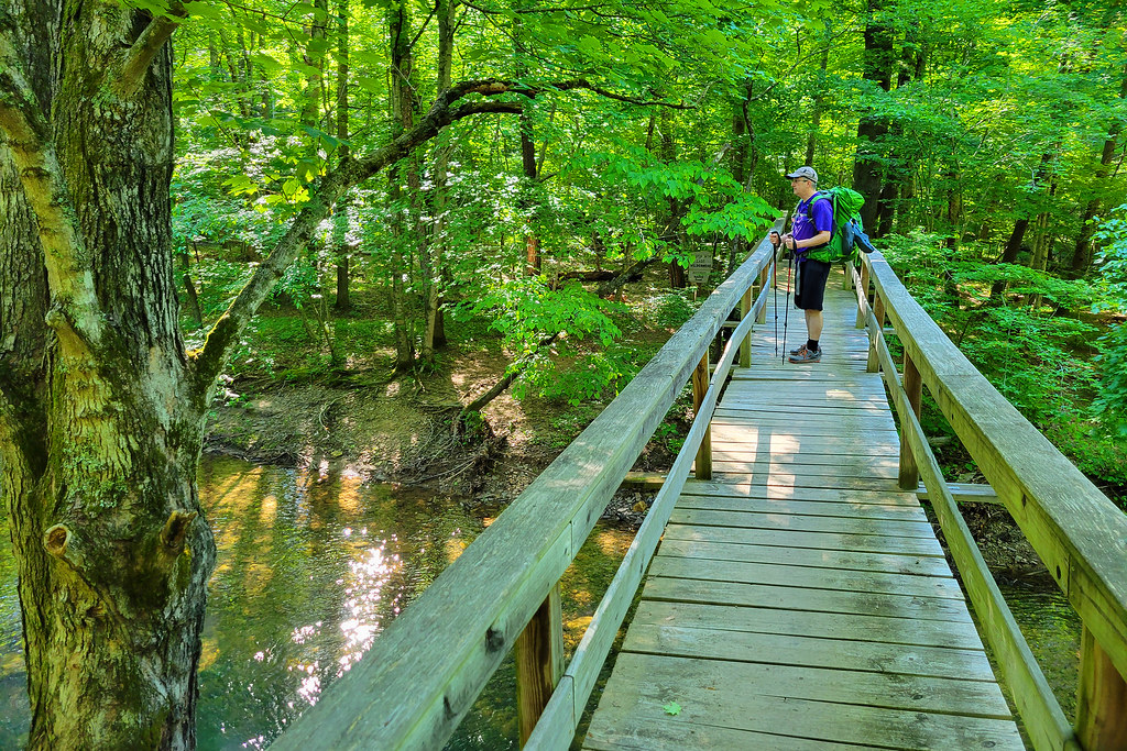
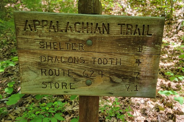
We started by parking a car at the McAfee Knob lot on VA 311, then caught a shuttle to Craig Creek. There used to be a footbridge spanning the creek, though I am not sure if it is still in place. It had washed out at one point, and I have not seen confirmation that it has been rebuilt.
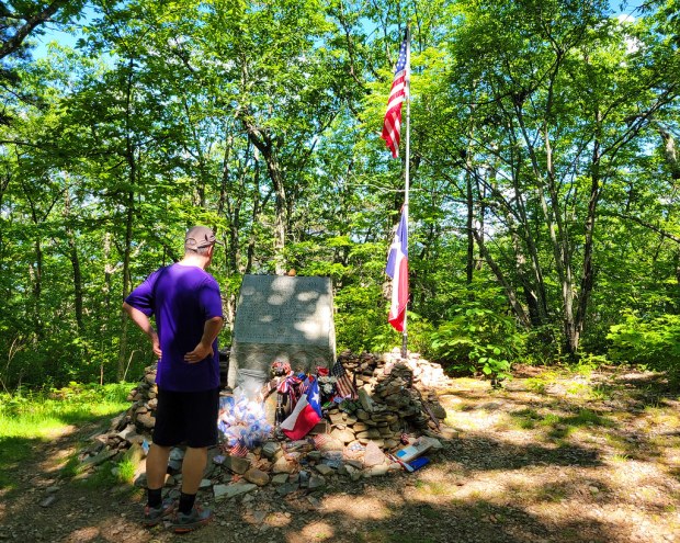
A few miles into the hike, we took a short spur trail to visit the Audie Murphy Monument. According to the inscription, Audie Murphy was World War II’s most decorated soldier. He died in a plane crash near this spot in 1971. It is a quiet, reflective place that is well worth the short detour. Check out this short video of the monument.
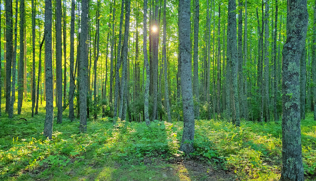
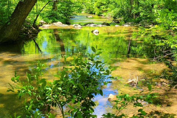
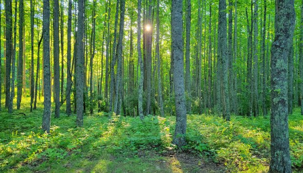
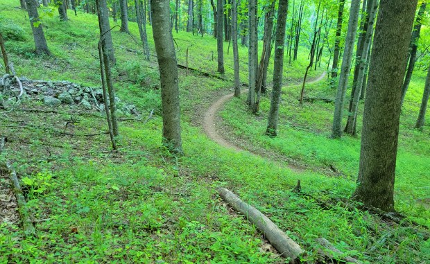
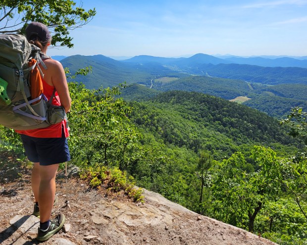
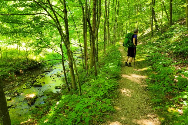
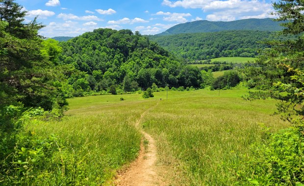
As the miles passed, we caught glimpses of views through the trees, a nice preview of what was to come. Late in the day, we descended to Trout Creek. Some kind folks relaxing by the water offered us cold beers, which was incredibly tempting, but we still had one more climb ahead before camp, so we kept moving.

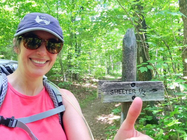
We had planned to stay near Pickle Branch Shelter, but our hiking app suggested a campsite just a bit farther up the trail and closer to water. It turned out to be a great decision. The site sat in a beautiful spot, and while collecting water took a little creativity, the source was still flowing and reliable.
[Video] Improvising a chute to catch water
[Video] Water Source
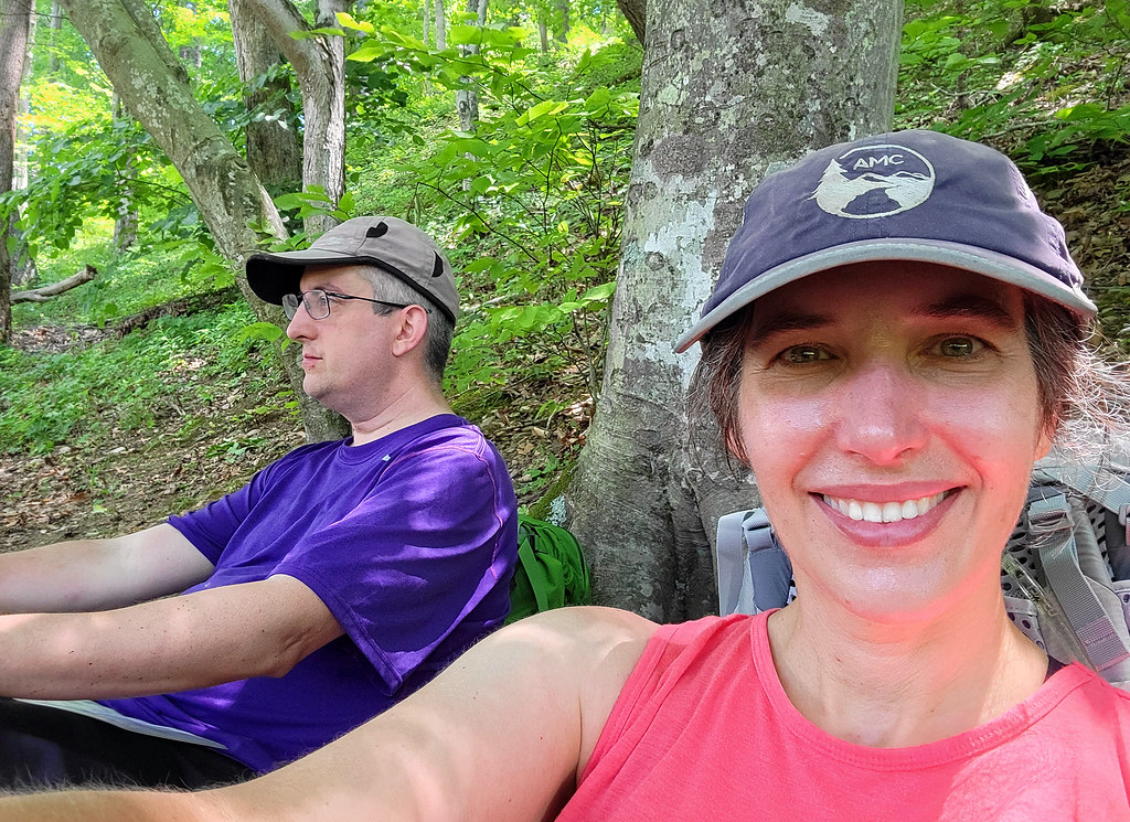
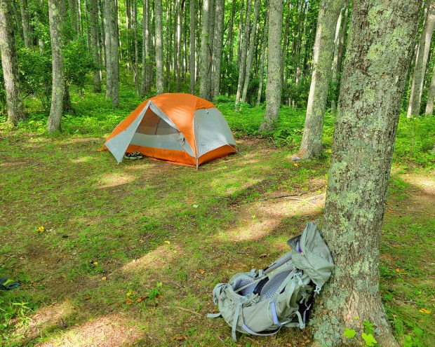
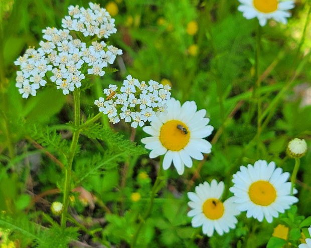
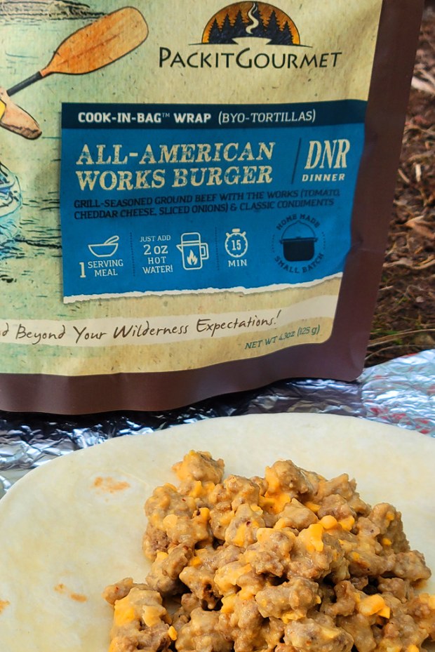
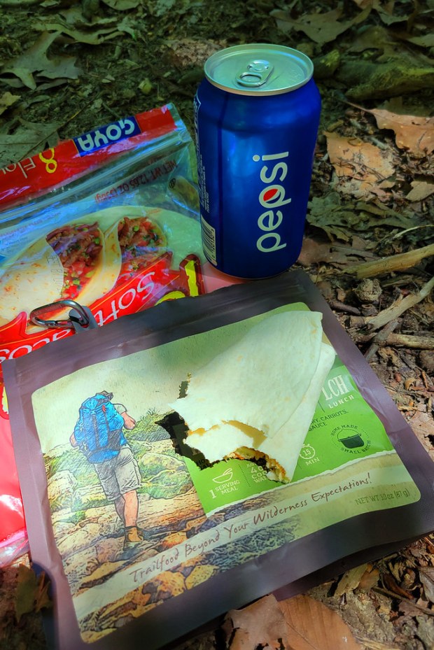
Our campsite was tucked into a poplar grove beside a meadow filled with wildflowers. After setting up, we settled in for dinner. That night’s meal was the All American Works Burger from PackIt Gourmet, one of our favorite brands for trail food. It comes together with just a small amount of hot water and, wrapped in tortillas, tastes remarkably like a fully loaded cheeseburger. It is one of those meals you genuinely look forward to at the end of a long day.
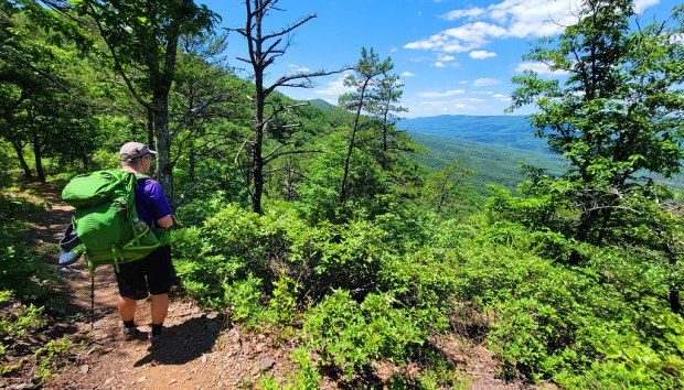
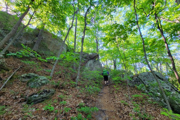
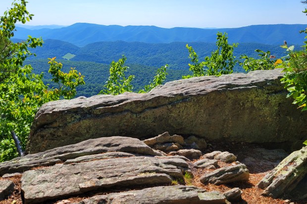
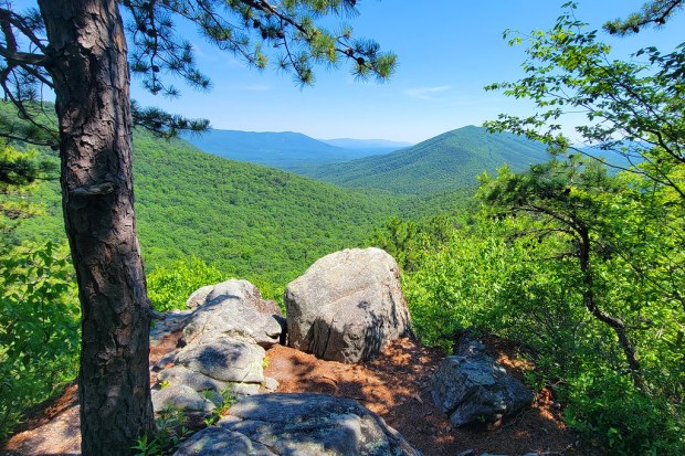
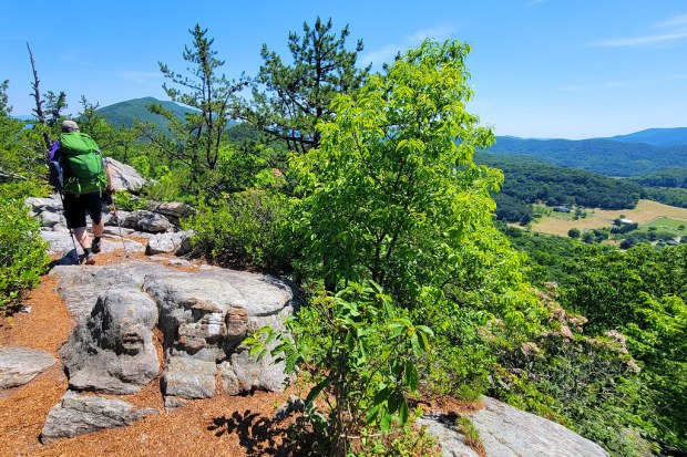
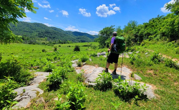
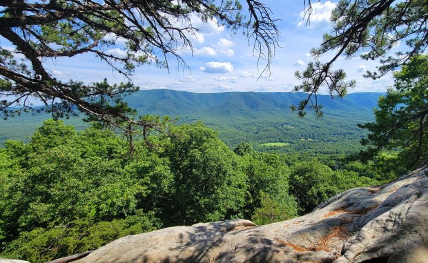
Day two brought more miles and more of a challenge, with around 2,500 feet of climbing and plenty of rocky terrain. The effort paid off with more frequent views and a pass by Dragon’s Tooth. We saw a few more people that day, including day hikers near the overlook and a handful of thru-hikers, but the trail still felt pleasantly uncrowded.
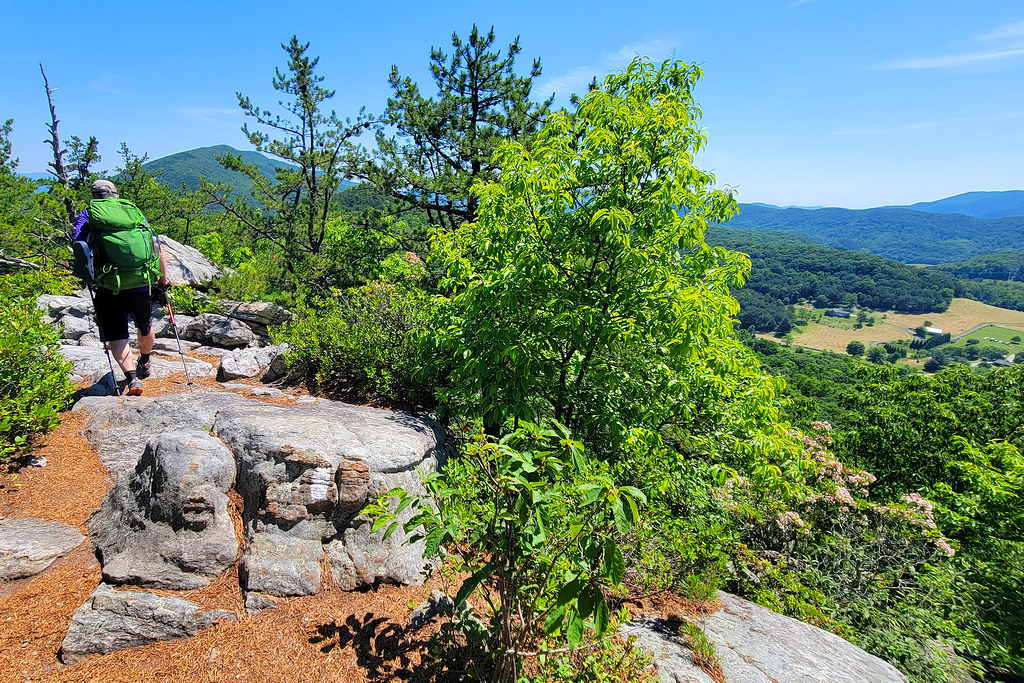
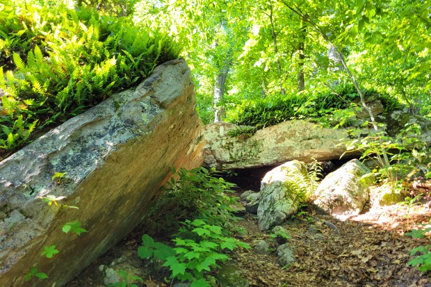
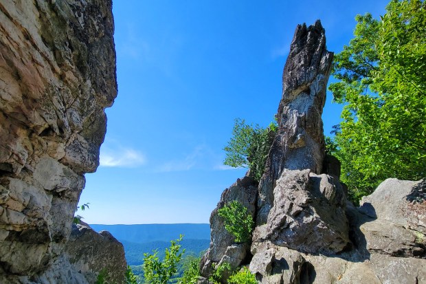
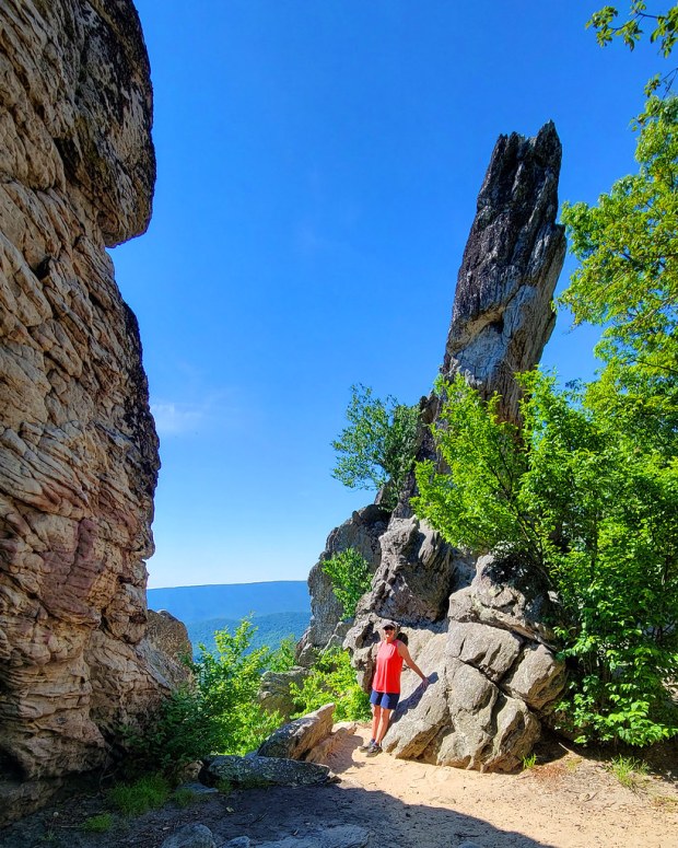
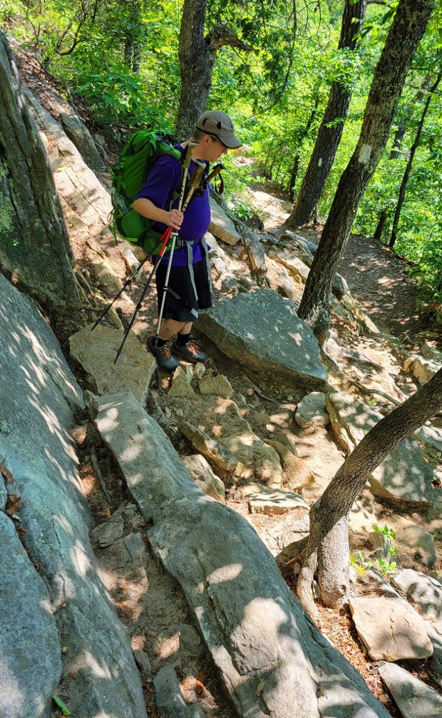
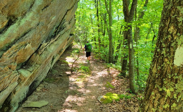
The first stretch of the morning was especially rocky, requiring careful footing. As we approached Dragon’s Tooth, the views began to open up. The formation itself is an impressive quartzite spire rising sharply from the ridge. It is possible to climb to the top if you are comfortable with heights, but we decided to skip it this time since we had done it before and still had a long day ahead.

The descent heading north from Dragon’s Tooth is no joke. It is a steep, technical scramble over rocks and narrow ledges, made even trickier with overnight packs. We did not take many photos through this section since our focus was on staying upright.
The rocks continue for a while after the descent, easing only slightly but still demanding attention. Eventually, we reached a stream crossing near Newport Road and took a well-earned lunch break. Lunch was another PackIt Gourmet meal, a buffalo chicken wrap that rehydrates with cool water. We swapped the mayo for ranch dressing and wrapped it all in tortillas. It was another solid trail meal.
While we were eating, a mom pulled up to drop off her son, a thru-hiker heading back out after a weekend visit. She offered us ice-cold Pepsis, which felt like pure magic at that moment.
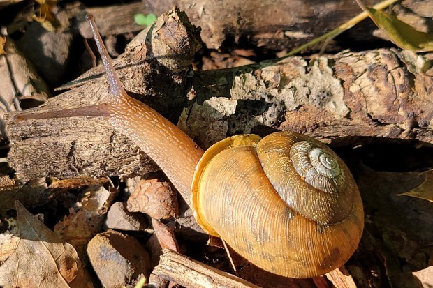
The trail eased up a bit after lunch. Along a quieter stretch, we spotted a mama deer and her fawn at a stream. Just moments later, a bear crossed the trail right in front of us, followed shortly by a large garter snake slipping through the grass. It was a memorable stretch packed with wildlife.
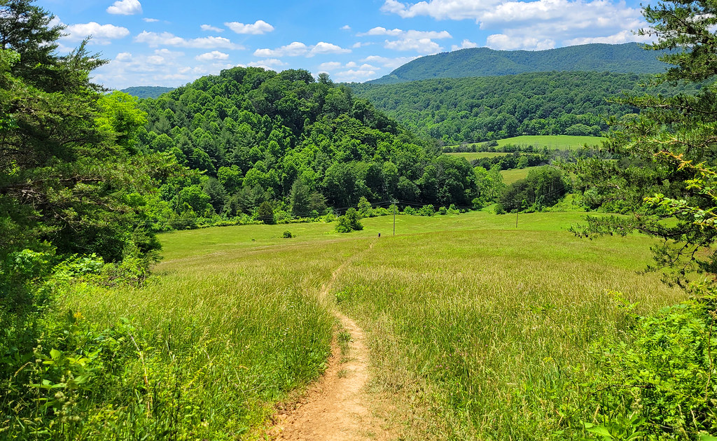
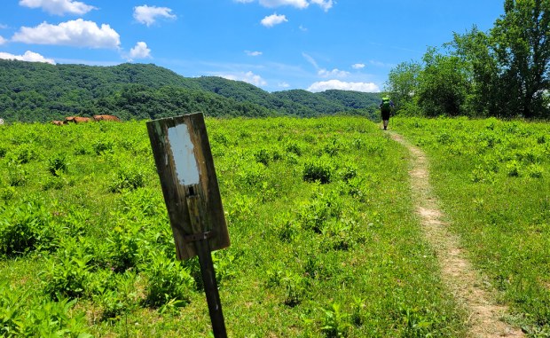
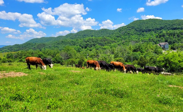
Soon after, we entered a long section of open pasture. The trail crossed several stiles and stretched for over a mile through sunny, exposed fields. It was hot, bright, and heavy with pollen.
By that point, Adam had already had a tough day. Earlier, he tripped on a root and took a hard fall, breaking his glasses and ending up with a swollen lip and a few cuts. Thankfully, it was not more serious. Later in the fields, the pollen triggered an asthma flare, and he needed his rescue inhaler. Even feeling worn down, he kept pushing forward and finished strong.
Not long before the end, we caught one last great view about a mile south of the McAfee Knob parking area where we had left our car. We made it back by mid-afternoon, grateful to be done with the miles as the day warmed up.
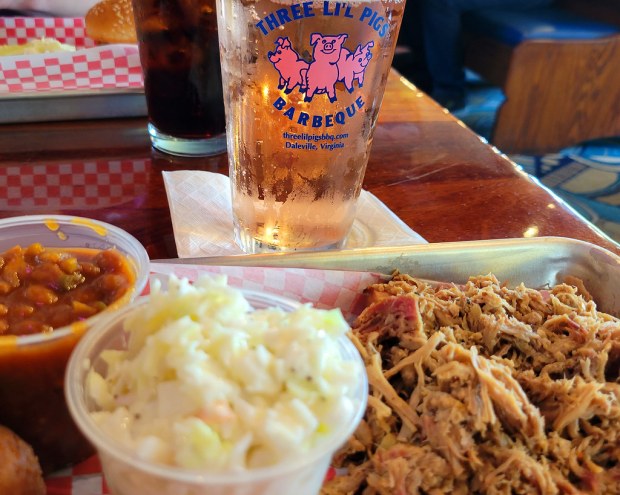
On the drive home, we made our usual stop at Three Li’l Pigs in Daleville for barbecue. It has become a bit of a tradition after hikes in the Roanoke area, and it was the perfect way to wrap up the trip.
Notes
- Distance – 23.35 miles (10.2 on Day 1, 13.15 on Day 2)
- Elevation Change – 4528 ft. ( 2182′ on Day 1, 2346′ on Day 2)
- Difficulty – 4
- Trail Conditions – 4
- Views – 5
- Streams/Waterfalls – 1
- Wildlife – We saw a bear!
- Ease to Navigate – 5
- Solitude – 3


Great recap and photos! I’m glad you decided to post even if it was 4 years ago! That’s an area I really want to visit soon.
LikeLike