
Introductory Guide to Visiting the White Mountains
This is a beautiful section of Appalachian Trail with spectacular views from the two-summit peak of Mount Cube (2,909′). The round-trip is just over seven miles and traverses moderate terrain (by New Hampshire standards). It’s a worthwhile day hike in the area, especially if you want to escape the crowds.
View the Full Album of Photos From This Hike
Adam Says…
As we slowly work on trying to cover the entire Appalachian Trail, piece by piece, we are always looking through our AWOL AT Guide to come up with day hikes when we are near the trail. The AWOL guide is a great handbook to get elevation profiles, campsites, water sources, and local amenities for places along the Appalachian Trail. The AWOL guide uses camera icons in the book to denote great view places that are worth taking pictures. The guide tends to be pretty stingy with giving out these icons, so seeing two camera icons on this trail, we knew it would be worth checking out. We had a gorgeous summer day to do this hike and we had a feeling the scenery would be stupendous, but we were even more surprised when we reached the top.
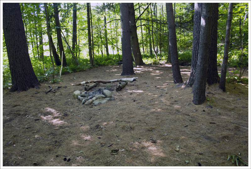
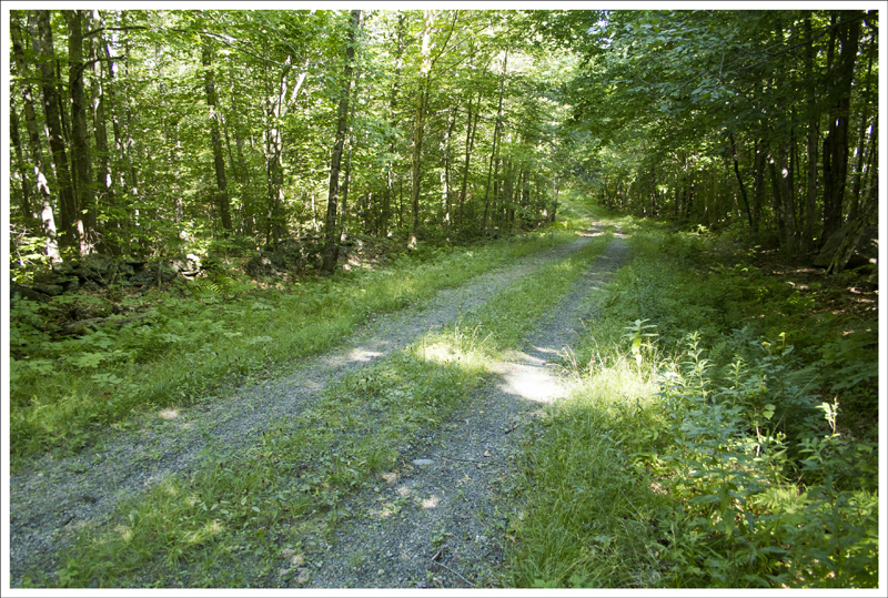
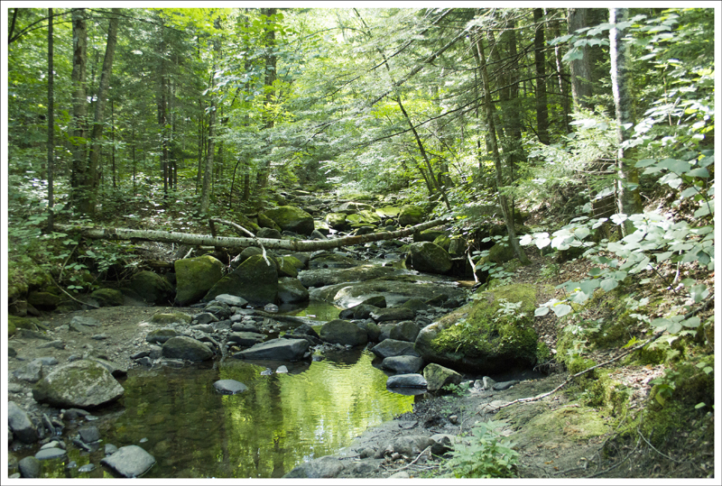
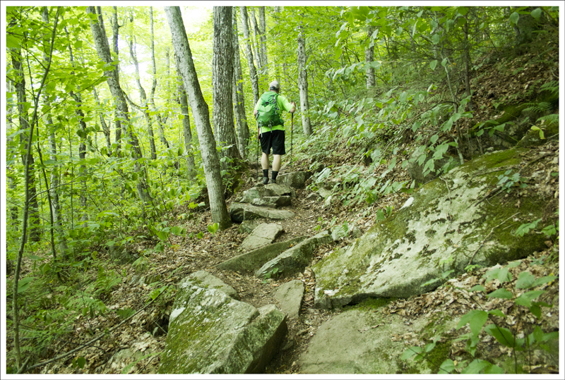
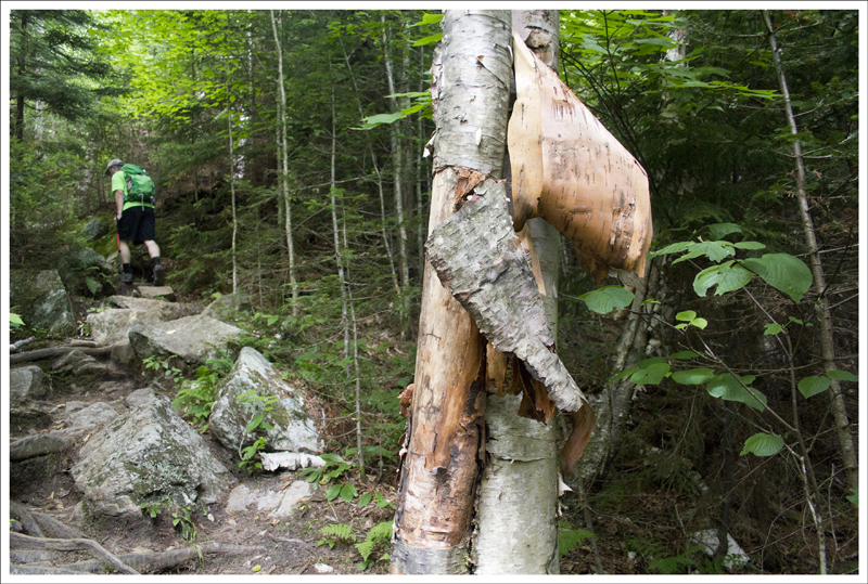
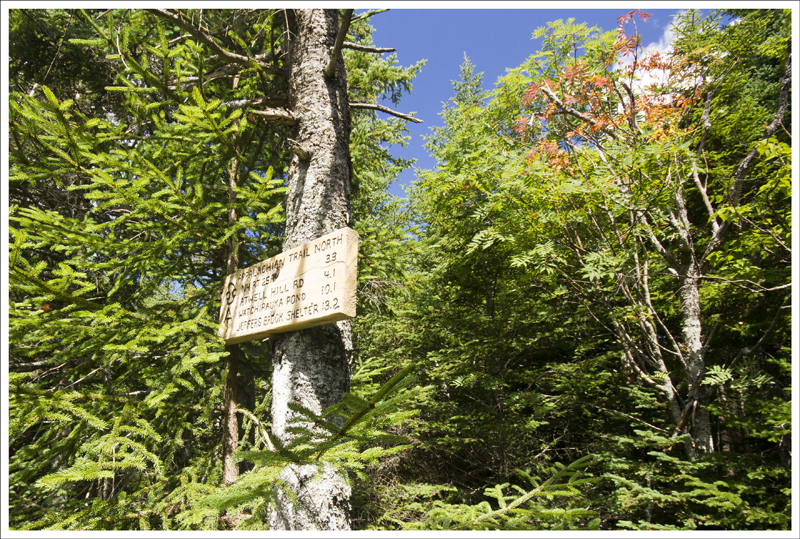
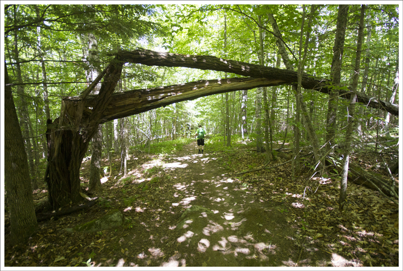
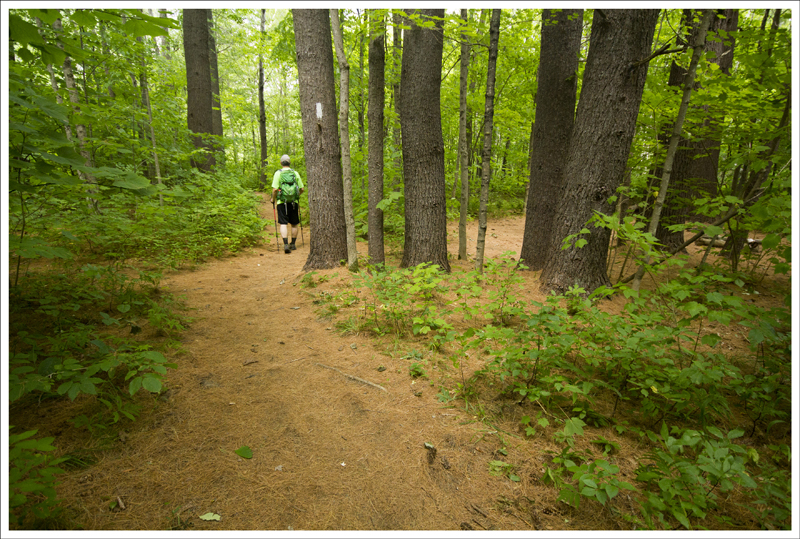
We parked alongside the road of NH-25A and then found the AT trailhead marker heading south (see directions below). The first .4 miles of the hike are relatively flat. We passed a campsite fairly early on. After .4 miles, the trail begins to climb at an easy climb and at .6 miles, we crossed a forest road. At .8 miles, we crossed a mostly-dry stream and at 1.7 miles we crossed over Brackett Brook, which was the only reliable water source we found on the trail. After crossing the brook, the trail really begins to increase elevation and will get your heart going. We always find that conversation tends to die down on the big uphill climbs.
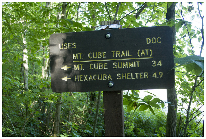
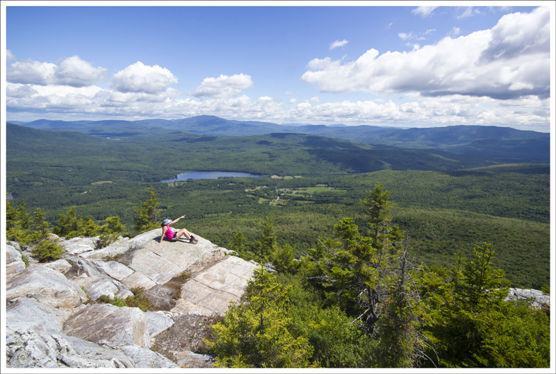
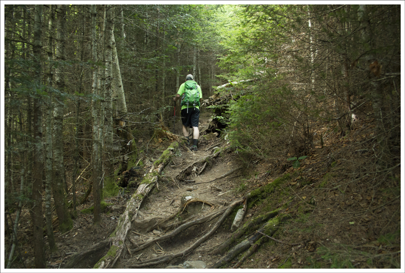
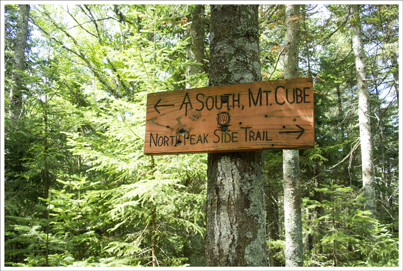
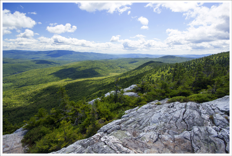
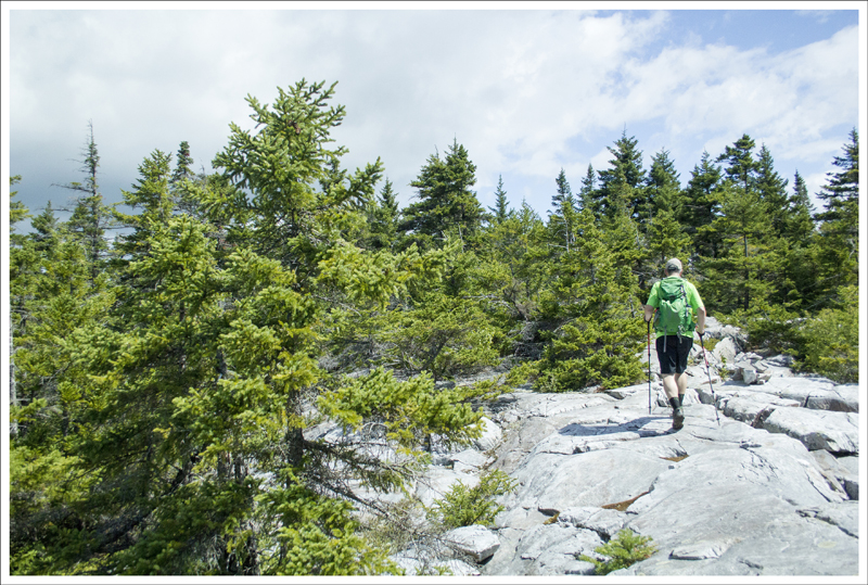
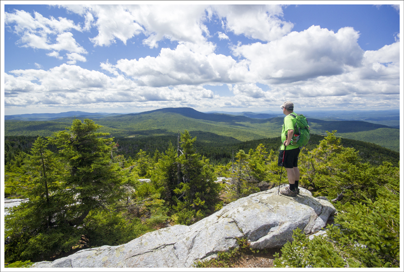
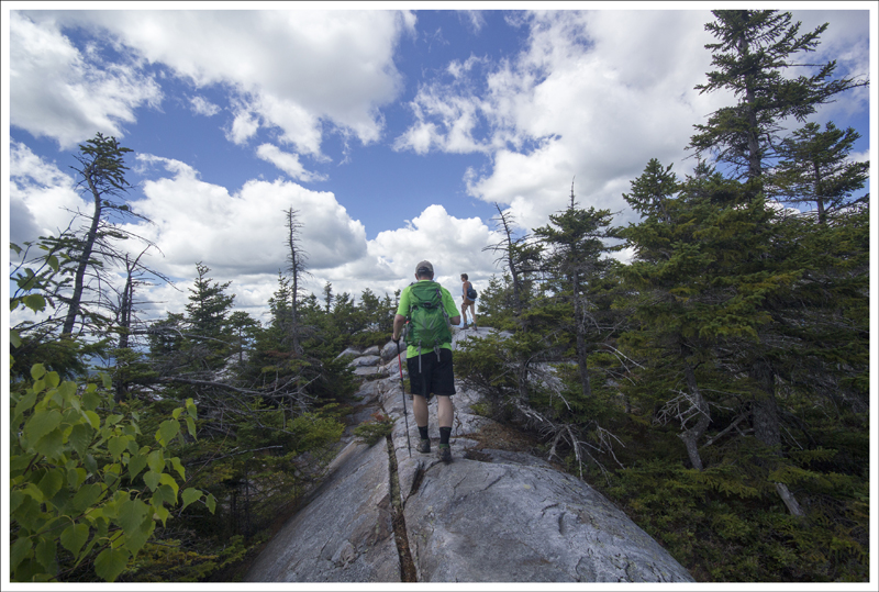
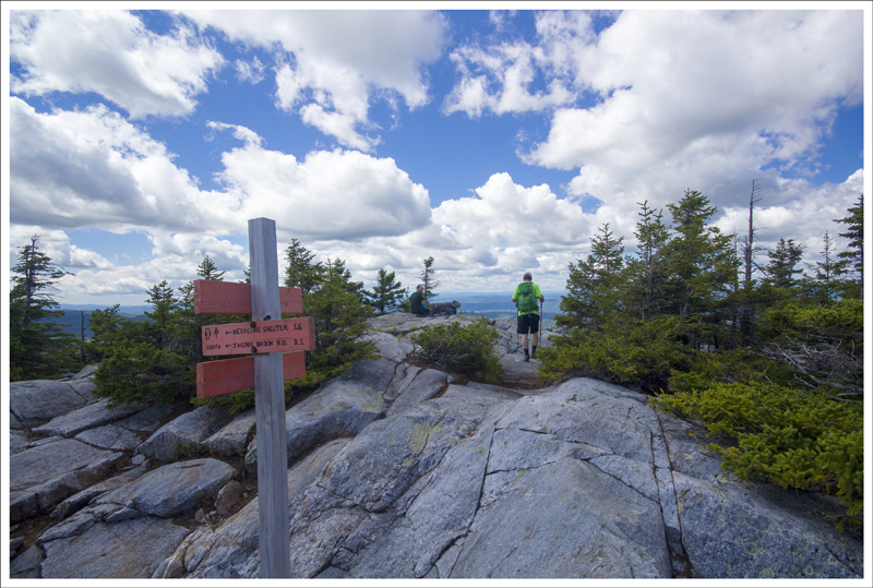
It was a tough slog for the next 1.5 miles of switchbacks up the mountain, but at 3.3 miles the climb levels and we reached a sign at an intersection. We took a right to check out the northeast summit of Mount Cube first. The trail is a little tough to follow to the summit. Follow the sparse blazes through the woods and the trail opens up to above treeline. Walking on the rocky surfaces made it hard to find the proper path, but we would pick up a blaze eventually and knew we were on the right path. At 3.55 miles (just .25 miles from the junction), we reached the northeast summit. The views were phenomenal and we found ourselves surrounded by wild blueberries on the shrubs around us, which made for a snack among the majestic views. We spent a long time on the rocky ledges overlooking the valley, with views of Mt. Moosilauke in the far distance.
We were impressed we had the views entirely to ourselves, but we made our way back to the intersection to see what the southern main summit of Mt. Cube would give us. At 3.8 miles, we reached the intersection and continued on the AT to the summit of Mt. Cube just .1 mile away from the intersection. At the main summit, there were several people at the top. While we found these views nice, we were at tree level and we felt if we were just about 10 feet higher the views would be more impressive. We talked with a few people at the top and told them they shouldn’t miss the views from the northeast summit. We ate a snack here and then made our way back to the intersection and back down the mountain the way we came.
When we got back to the road, we saw an older hiker waiting at the bottom of the trail. Christine had thought it was Warren Doyle, a well-known AT hiker and supporter of others on the trail. I told her I would find out and asked the gentlemen if he needed a ride. He declined, since he was waiting for a friend to pick him up and I slipped the name “Warren Doyle” cleverly into the conversation to see if he would react. He said that he knew Warren and he was actually going to get some help from him a little further up the trail and had been part of one of Warren’s fabled AT hikes years ago. So, while we were wrong, it was still interesting to make that connection.
Mount Cube was a wonderful pick and the camera icons didn’t lie. This is definitely worth doing on a nice spring/summer/fall day, but the ripe blueberries in August made this for a classic day in New England.
Christine Says…
While Mt. Cube isn’t a 4,000-footer, it still offers lofty views from two distinct summits. It’s a great dayhike if you’re in the area and looking to escape the thicker crowds around the Presidential peaks. We hiked Cube on an absolutely gorgeous Sunday morning, and saw just a handful of other hikers – most of them Appalachian Trail thru-hikers nearing the end of their long voyage north. We hiked southbound on the AT, starting from the road-crossing near Orford, NH.
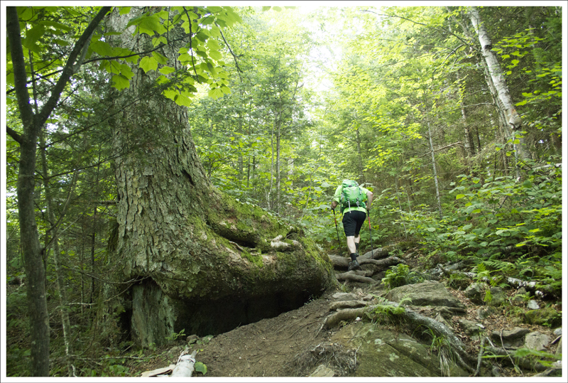
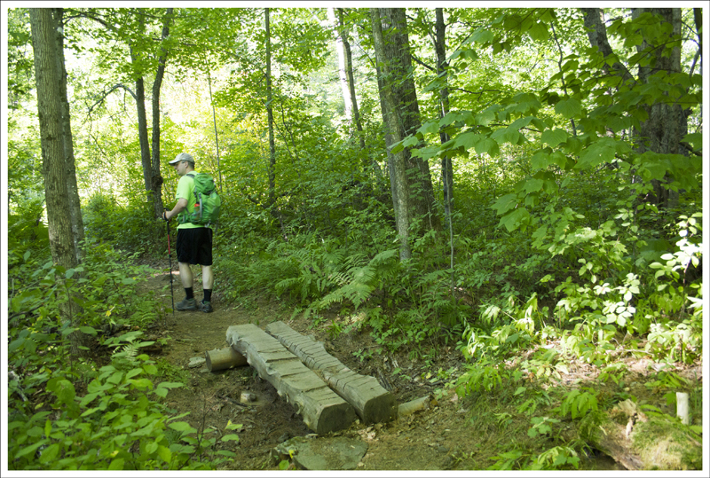
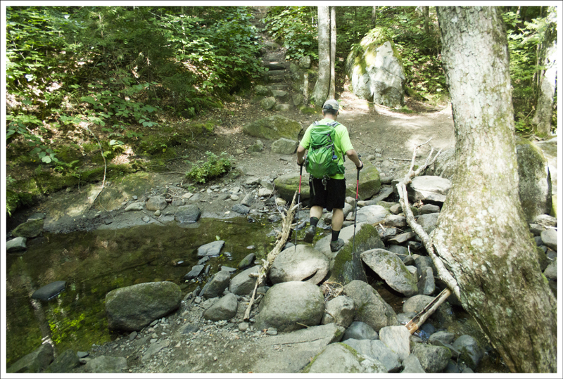
The first mile and a half of hiking was beautiful and easy. We climbed gently uphill and passed through a mixed hardwood and pine forest. The overhead canopy kept the trail shady and cool, even on this rather warm summer day. Our guidebook marked a stream about 3/4ths of a mile into the hike. When we got there, we found a southbound section hiker filtering what amounted to a mud puddle. He was worried about running out of water and didn’t want to pass any source without gathering what little he could. Last summer, New Hampshire experienced serious drought conditions. Many streams that normally flow year-round were reduced to a trickle, so I understood his concern.
We reached the second stream marked in our guide, Brackett Brook, and found it was still flowing with clear, clean water. Side note: I love how New England has brooks and notches instead of creeks and gaps. As a southerner, they just sound more exotic and picturesque. After crossing the brook, the climb became a bit steeper, but remained uncharacteristically smooth and uncomplicated. We stopped to chat briefly with another thru-hiker. I said something to him about how nice the terrain had been along this stretch of trail and he just replied ‘Ugh‘ and shook his head. I thought to myself, ‘Hmmm… maybe there’s something I don’t know?’
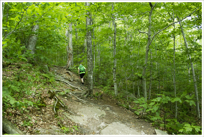
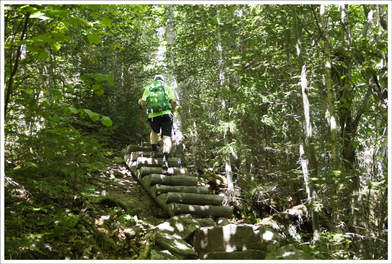
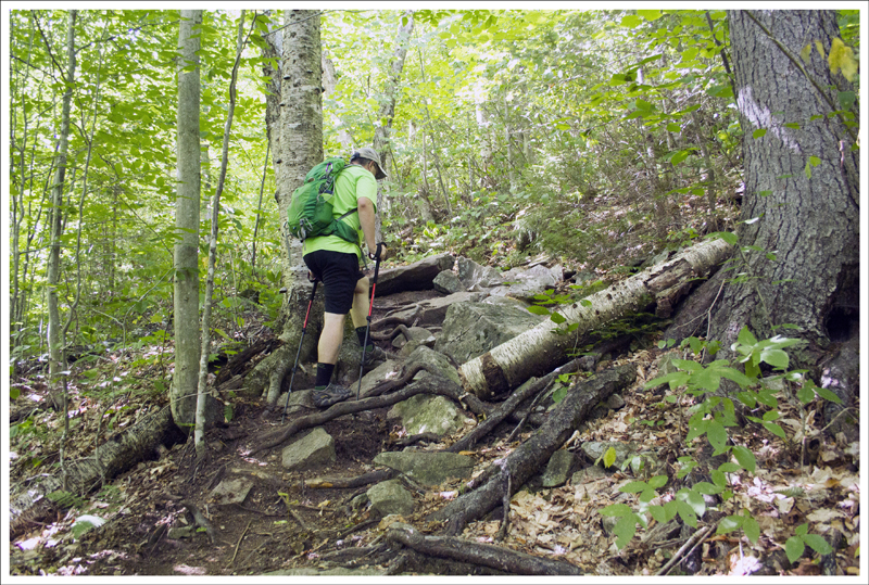
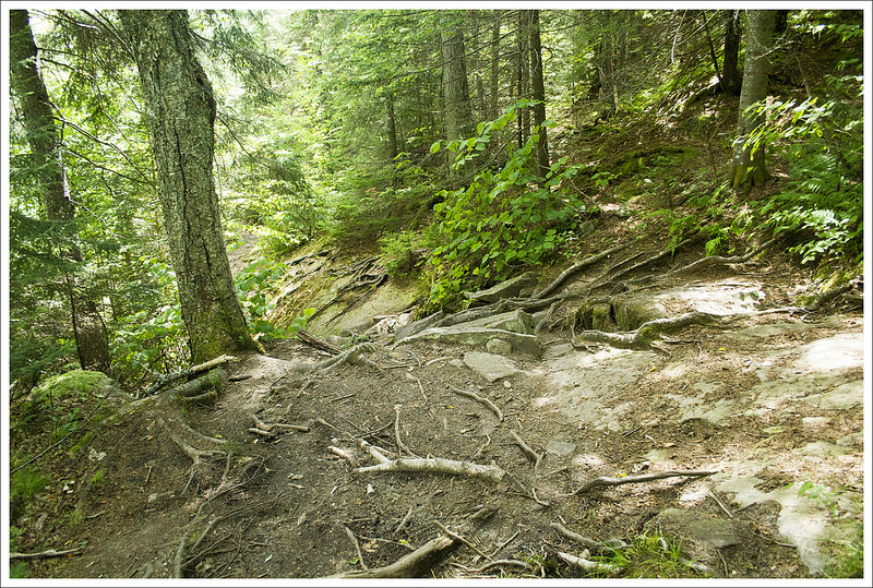
Soon after that, the trail went from mostly dirt tread to a steep mix of roots, rocks, and log steps built into the earth. It still was pleasant terrain compared to most of what you see in the Whites, but I get the origin of the thru-hiker’s Ugh! Near the summit, the trail leveled out through a stretch of hemlocks and pines. The footing was a mix of fallen needles and granite sand.
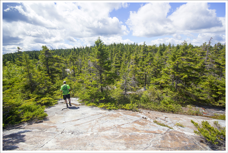
At the top, we decided to check out the north summit first. To get to the north summit, you follow a spur trail that departs the AT. It was gorgeous – ledges and blueberries and views for miles and miles! Upper Baker Pond added a lovely water feature to the vista. The pond is home to vacation cottages and a summer camp called Camp Moosilauke. We spent lots of time enjoying the solitude, taking photos, and eating our lunch. Eventually we made our way back to the junction and followed the trail a few tenths of a mile to the south summit.
It was also beautiful, but lacked the majesty of the north summit. We chatted with a few fellow hikers, including two women from the area. They gave us some hiking recommendations, but it turned out we had already hiked most of them. The one we hadn’t yet hiked was Mt. Chocorua. They told us it was a ‘must hike‘. (so, we hiked it – and it will be our next post).
After leaving the summit, we made quick work of the descent. With about a mile and a half left, I started having horrible foot and toe cramps. I hobbled along for as long as I could before I finally sat down in the middle of the trail and told Adam I had to take my shoe off immediately. Once I massaged it a bit and did some foot stretches, I was able to continue. The injury has continued to plague me ever since this hike. It stinks, but I’ve been able to manage the pain and hike through it.
After we got back to the car, I kicked off my trail runners and switched into my Oofos flip flops. They’re the best for sore feet! On the way home, we found a little country store that had a dozen different flavors of whoopie pies. I tried a gingerbread-lemon pie that was so delicious. It was the perfect way to wrap up another excellent day of New England hiking!
Trail Notes
- Distance – 7.2 miles
(Check out the stats from Map My Hike)*
- Elevation Change – 2025 ft
- Difficulty – 4. Everything is a little tougher in New Hampshire, but we were able to take our time and enjoy it.
- Trail Conditions – 4. The trail was well-maintained and not very overgrown. We didn’t experience any blowdowns.
- Views – 4.5. The expansive views from the northeast summit of Mt. Cube are not to be missed.
- Waterfalls/streams – 1.5. We did find a water source on Brackett Brook, but most of the streambeds we saw were bone dry in the summer.
- Wildlife – 1. We didn’t spot anything other than some squirrels and chipmunks. There were a few juncos and chickadees at the summits.
- Ease to Navigate – 3.5. Overall, the trail was easy to follow, but we are marking it down due to the lack of blazes leading to the northeast summit.
- Solitude – 3. We were pleased to find nobody on the northeast summit, but there were several at the southern summit. There is room to spread out, so if you want to avoid people, you can.
Download a trail map (PDF)
Directions to trailhead: GPS coordinates: 43.9013 -71.9838 Take Route 1 25A East out of Orford, NH. Pass through Orfordville in 2.5 miles and continue up the northern shoulder of Mount Cube, whose summit ledges are visible above the trees. After 8.3 miles, at the height-of-land, pass Mount Cube Farm and former governor Mel Thompson’s famous pancake house. Continue on Route 25A and descend steeply to Upper Baker Pond. Just before crossing a steel highway bridge, 10.2 miles from Orford, the AT south leaves from the right hand side of the road. Park in the parking lot across the bridge.
* MapMyHike is not necessarily accurate, as the GPS signal fades in and out – but it still provides some fun and interesting information.

Love the whites!
LikeLike
We do, too! Writing this post made me dream of White Mountain summertime. 🙂
LikeLike